Elevation of Panlinlang, Arayat, Pampanga, Philippines
Location: Philippines > Central Luzon > Pampanga > Arayat >
Longitude: 120.729247
Latitude: 15.2037336
Elevation: 483m / 1585feet
Barometric Pressure: 96KPa
Elevation Map:
Satellite Map:
Related Photos:

Father and Son

Major Upgrade

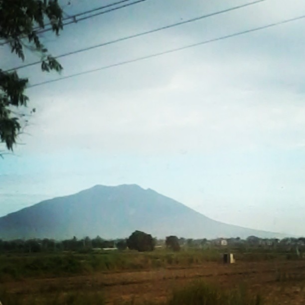
The Majestic Mount Arayat

room view Ang Cty 6-8-17

Over Balibago, AC @ 1,178'

Room, Ang Cty 6-8-17 3

Angeles City

Vidya Gaemz

Mt. Arayat view on the way to work.

The Weather Wizard at Clark Field in 1946

Up to Angeles #2

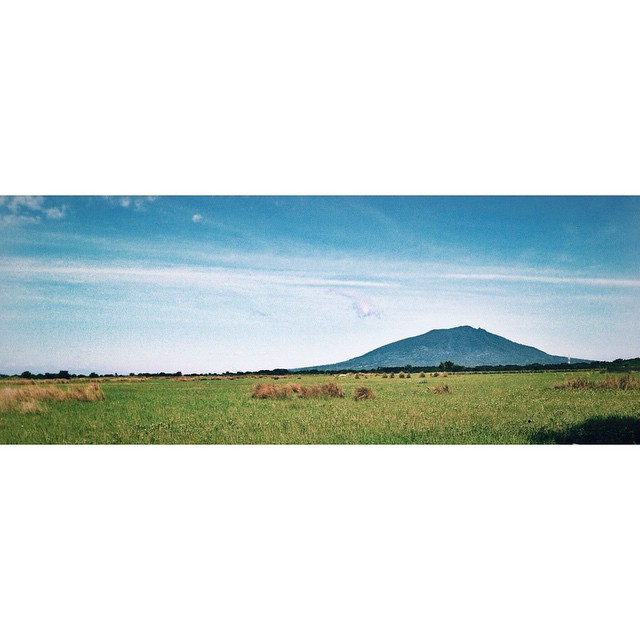
Majestic Mt. Arayat

Parroquia nang Sta. Monica de Mexico, Pampanga

Mt. Arayat Pampanga

where's the storm?
Asa byahe pa din. At di mawawala ang Mt. Arayat. A view from Mexico, Pampanga. :) #Philippines #Pampanga

Sunset....IMG_5845

Enchanting view at SCTEX

Parish Church of Sta. Ana, Pampanga

Mount Pinatubo

Livin' The Dream

Correct Camera GPS Coordinates?

Over MacArthur Hi-Way/Dau - AC

Marquee Mall/NLEX, AC @ 915'

Mt. Arayat
Bundok Arayat #CycleChronicle #arayat

Sunset Sky Clouds Astro Park Bayanihan Angeles City Pampanga ©

Majestic Mt. Arayat

Over Balibago AC @ 1,089'

Clark International, Angeles City

Majestic Mt. Arayat

Reflections of Mt. Arayat

The Majestic Mount Arayat
Topographic Map of Panlinlang, Arayat, Pampanga, Philippines
Find elevation by address:

Places near Panlinlang, Arayat, Pampanga, Philippines:
Mount Arayat
Banal A Bunduc Dalan Ning Krus
Mount Arayat
San Juan Baño
Mount Arayat National Park
San Juan Baño Elementary School
San Roque Bitas
San Roque Bitas Elementary School
Telapayong
Sta Maria
Telapayong
Arayat
Daymont Marketing
35 Sitio Telapayong
Poblacion
Magalang
Camba
Angeles City Flying Club
Apostles Farm
Majic Jade Kindom Resort
Recent Searches:
- Elevation of Corso Fratelli Cairoli, 35, Macerata MC, Italy
- Elevation of Tallevast Rd, Sarasota, FL, USA
- Elevation of 4th St E, Sonoma, CA, USA
- Elevation of Black Hollow Rd, Pennsdale, PA, USA
- Elevation of Oakland Ave, Williamsport, PA, USA
- Elevation of Pedrógão Grande, Portugal
- Elevation of Klee Dr, Martinsburg, WV, USA
- Elevation of Via Roma, Pieranica CR, Italy
- Elevation of Tavkvetili Mountain, Georgia
- Elevation of Hartfords Bluff Cir, Mt Pleasant, SC, USA