Elevation of Panicuason Road, Panicuason Rd, Naga, Camarines Sur, Philippines
Location: Philippines > Bicol > Camarines Sur > Panicuason >
Longitude: 123.310847
Latitude: 13.6662762
Elevation: 293m / 961feet
Barometric Pressure: 98KPa
Elevation Map:
Satellite Map:
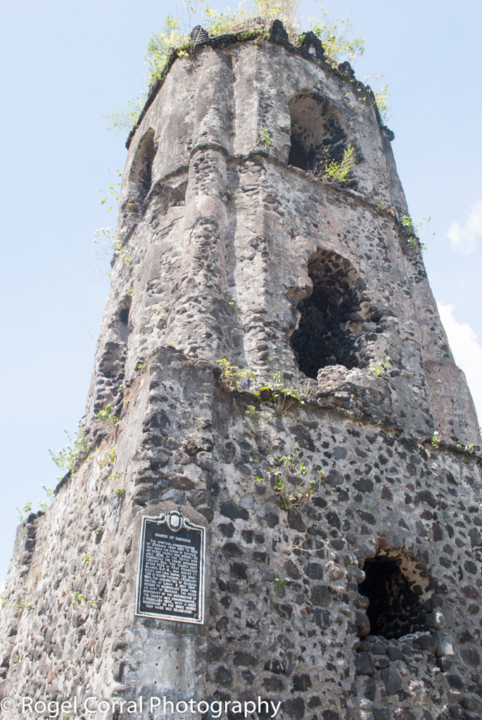
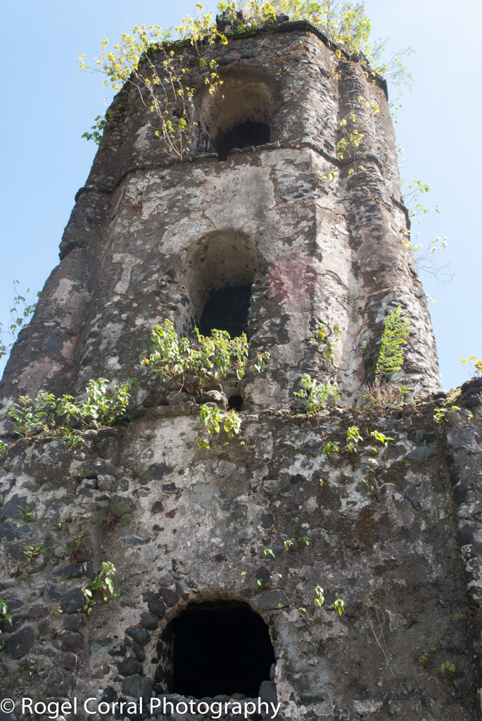
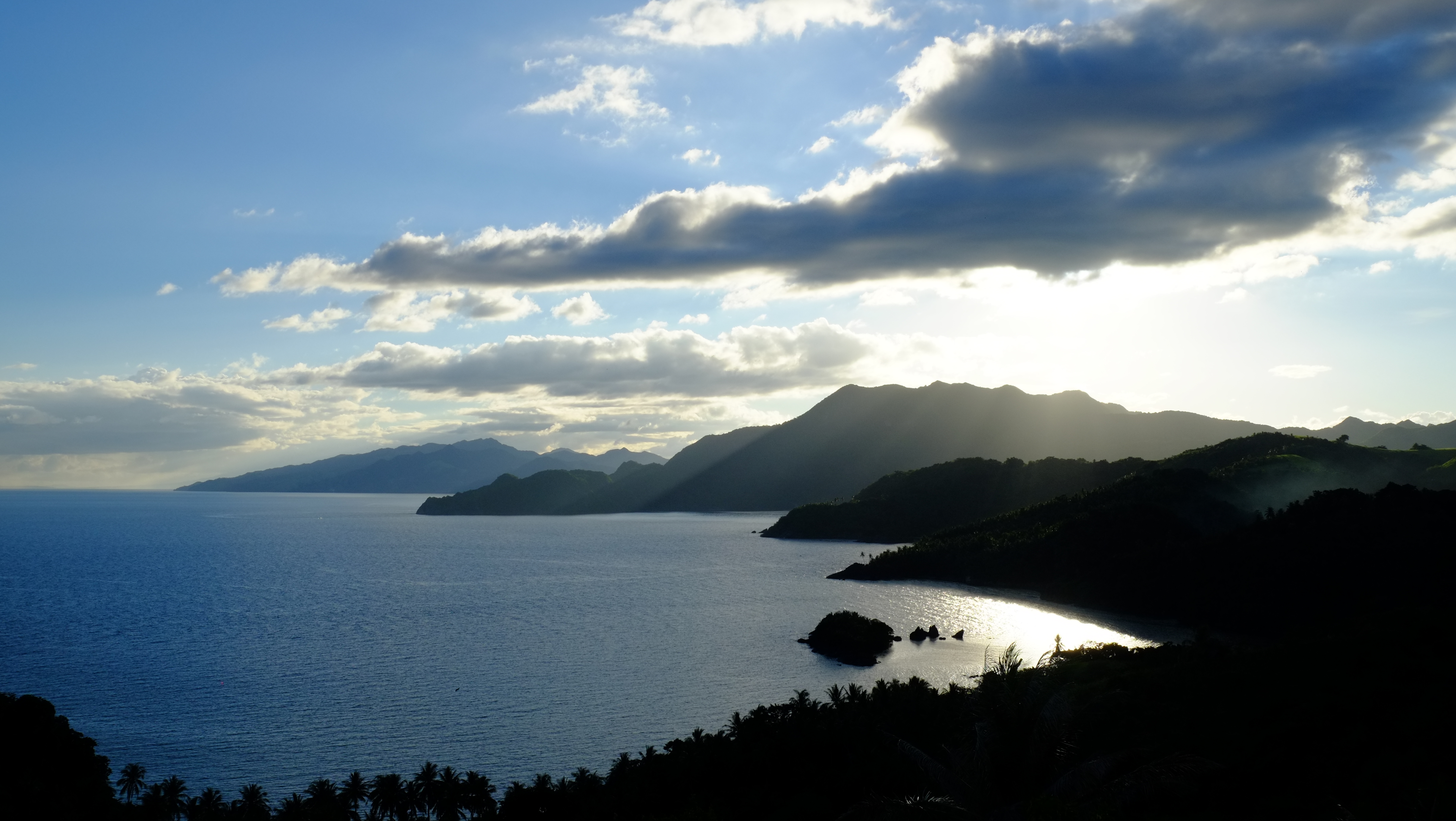
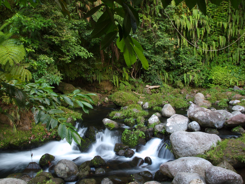
Related Photos:
See, The View, See at CWC
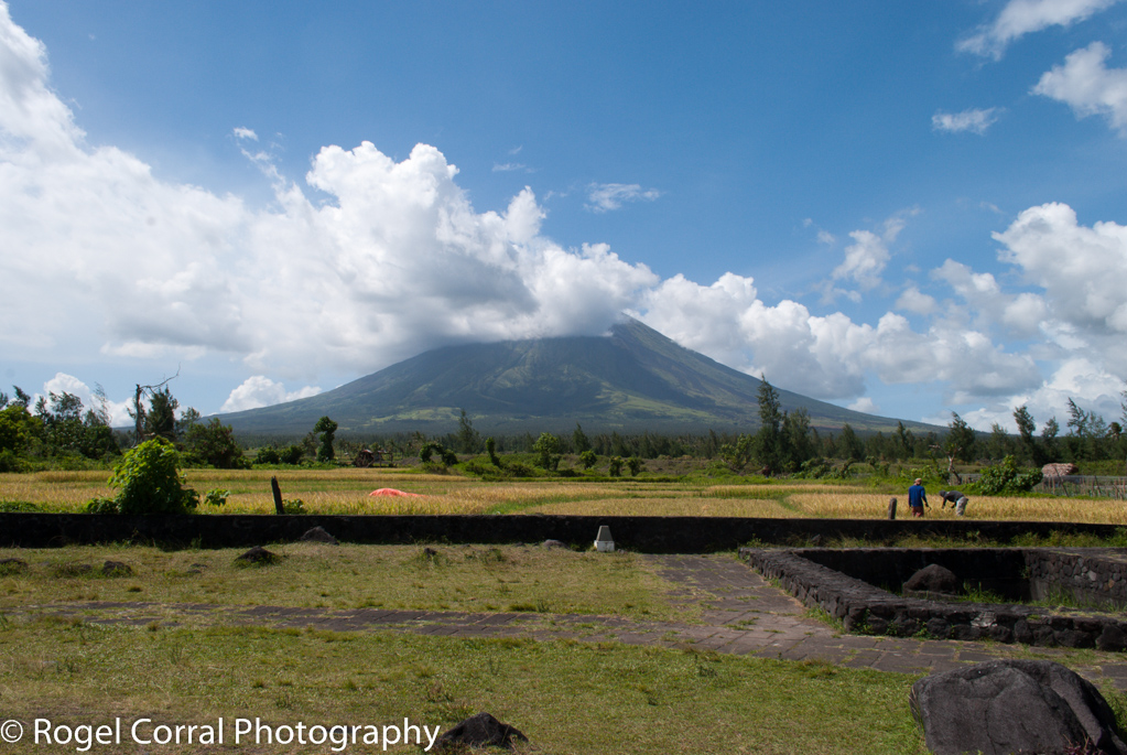
Top view of the Majestic Mayon Volcano #nofilter #mayonvolcano #itsmorefuninthephilippines
LAND-041-0524
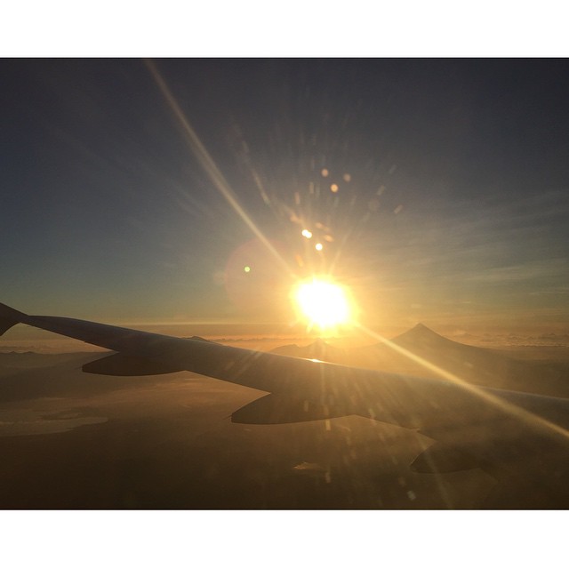
Mt. Isarog at sunset
LAND-041-0478
LAND-041-0487
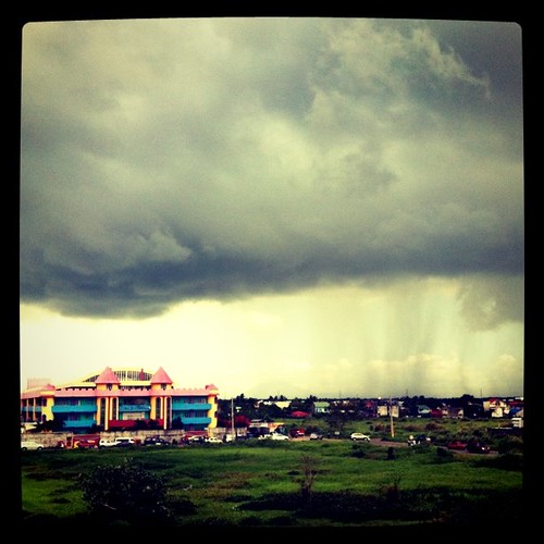
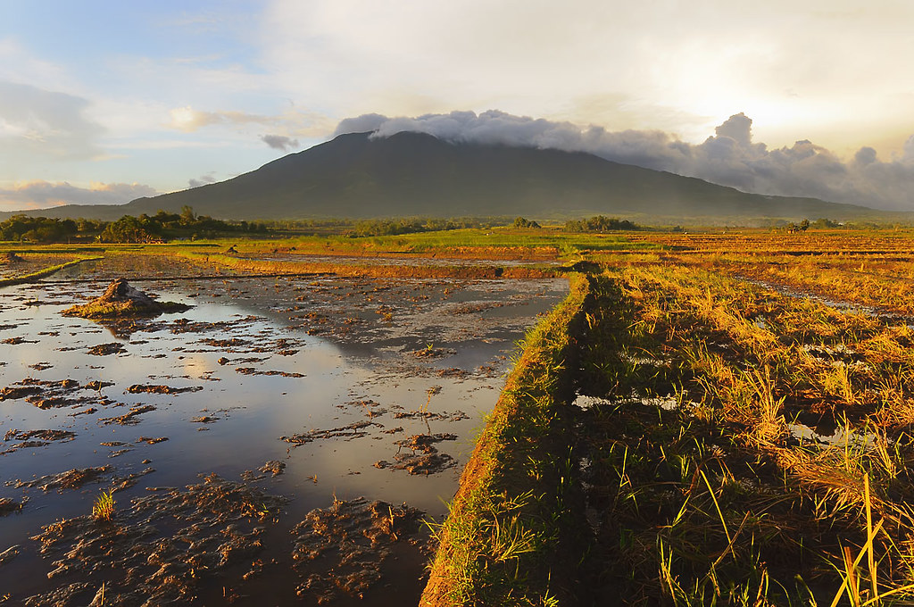
monstrous clouds..

I couldn't imagine how this company gives me strength that Dreams do come true. A year ago, it was a big question in my head if I can make it, however, since the people surrounds me lift up the best in me and believe that every person can go far beyond ex

Donsol to Laiya 12

C360_2014-03-22-18-10-35

Trip to Legazpi 46
God's Hand Lighthouse at Tugawe Cove

Donsol to Laiya 14

@jengtanuychico n @alessi888
go with the flow

CWC Wakeboard Park

Color my world / Draw on my heart / take a picture of what you think love /looks like in your imagination
Topographic Map of Panicuason Road, Panicuason Rd, Naga, Camarines Sur, Philippines
Find elevation by address:

Places near Panicuason Road, Panicuason Rd, Naga, Camarines Sur, Philippines:
Panicuason Road
Panicuason Road
Panicuason Road
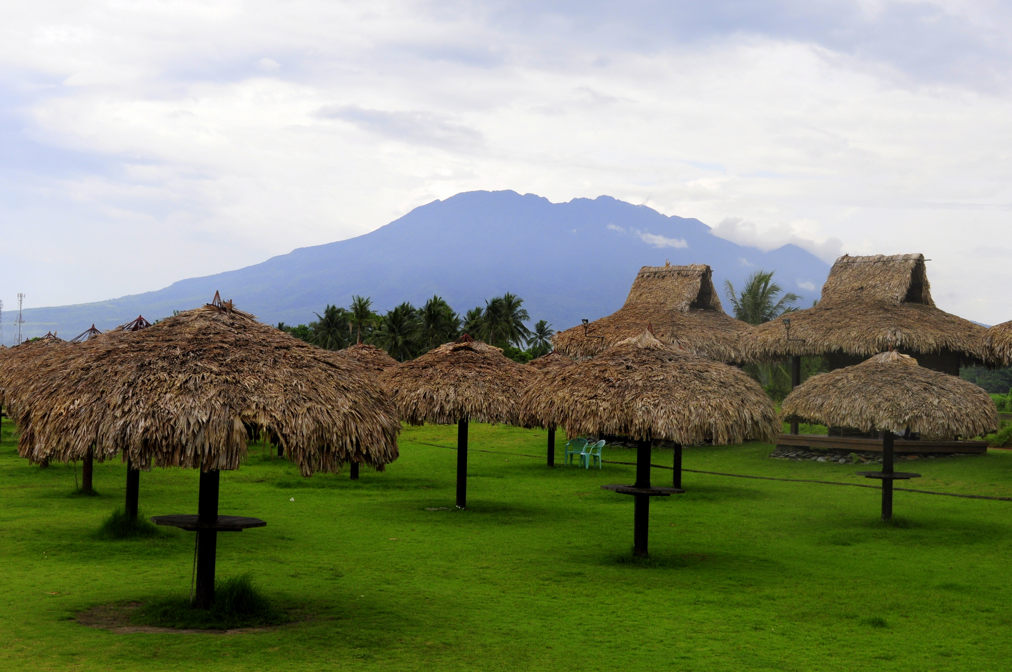
Panicuason Agri & Camp Site Recreational Center
Panicuason Road
Panicuason Road
Panicuason Elementary School
Panicuason Hot Springs Resort
Malabsay Falls
Panicuason
Carolina
Panicuason Hot Springs Resort
Naga City
Haciendas De Naga
Caceres Heights Resort Subd.
Primus Hotel & Resort
Pacol
Planes And Angles
Grandview Avenue
Mount Isarog
Recent Searches:
- Elevation of Corso Fratelli Cairoli, 35, Macerata MC, Italy
- Elevation of Tallevast Rd, Sarasota, FL, USA
- Elevation of 4th St E, Sonoma, CA, USA
- Elevation of Black Hollow Rd, Pennsdale, PA, USA
- Elevation of Oakland Ave, Williamsport, PA, USA
- Elevation of Pedrógão Grande, Portugal
- Elevation of Klee Dr, Martinsburg, WV, USA
- Elevation of Via Roma, Pieranica CR, Italy
- Elevation of Tavkvetili Mountain, Georgia
- Elevation of Hartfords Bluff Cir, Mt Pleasant, SC, USA