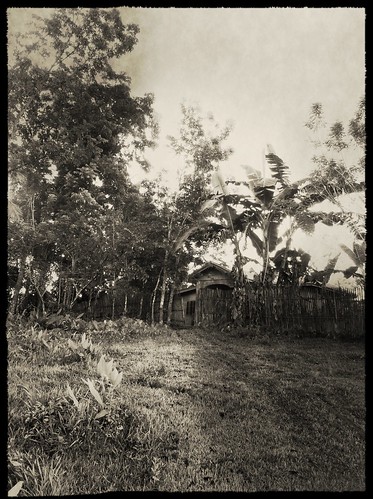
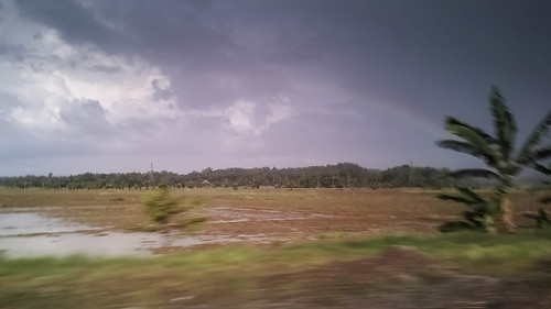
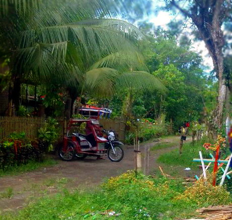
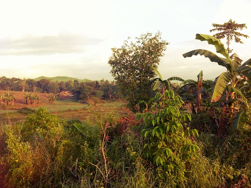
Elevation map of Panay, Philippines
Location: Philippines > Western Visayas > Capiz > Tapaz >
Longitude: 122.537274
Latitude: 11.3209094
Elevation: 103m / 338feet
Barometric Pressure: 100KPa
Related Photos:
Topographic Map of Panay, Philippines
Find elevation by address:

Places near Panay, Philippines:
Dumalag
Capiz
Tapaz
Jamindan
Batan
Balete
Roxas City
Tigayon
Kalibo
Sara
Carles
Cabugao Island
San Fernando
San Fernando
Taclobo Elementary School
Taclobo
Cajidiocan
Sibuyan Island
Mount Guiting-guiting
Masbate
Recent Searches:
- Elevation of Corso Fratelli Cairoli, 35, Macerata MC, Italy
- Elevation of Tallevast Rd, Sarasota, FL, USA
- Elevation of 4th St E, Sonoma, CA, USA
- Elevation of Black Hollow Rd, Pennsdale, PA, USA
- Elevation of Oakland Ave, Williamsport, PA, USA
- Elevation of Pedrógão Grande, Portugal
- Elevation of Klee Dr, Martinsburg, WV, USA
- Elevation of Via Roma, Pieranica CR, Italy
- Elevation of Tavkvetili Mountain, Georgia
- Elevation of Hartfords Bluff Cir, Mt Pleasant, SC, USA
