Elevation of Panamericana Nte. 25, Puente Virú, Peru
Location: Peru > La Libertad >
Longitude: -78.780666
Latitude: -8.4255897
Elevation: 59m / 194feet
Barometric Pressure: 101KPa
Elevation Map:
Satellite Map:
Related Photos:
Santa Valley
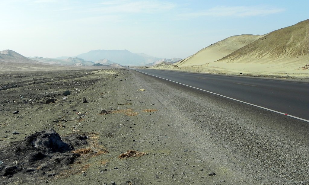
Post-apocalyptic Peru
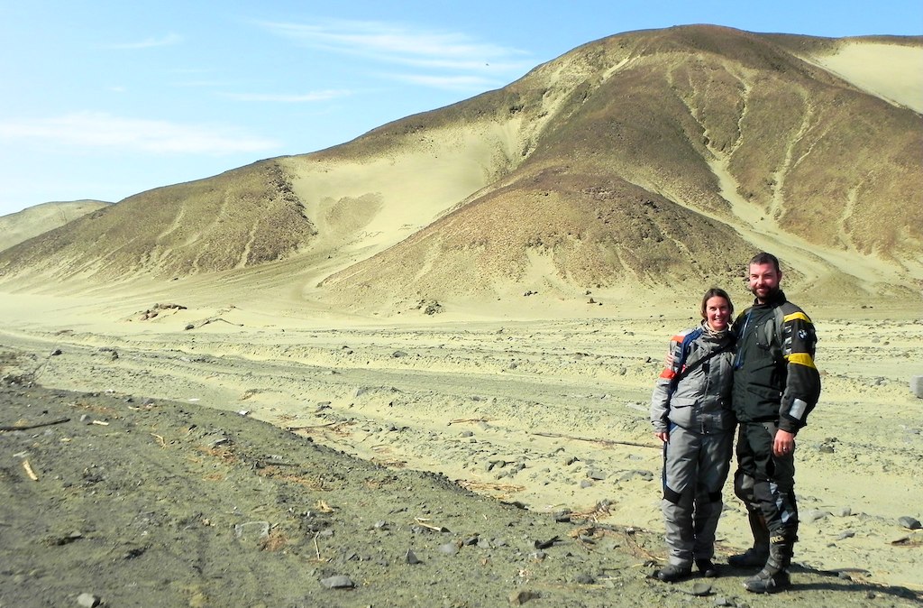
"Where did we pack the bucket and spade?"

Ciudad del eterno descanso
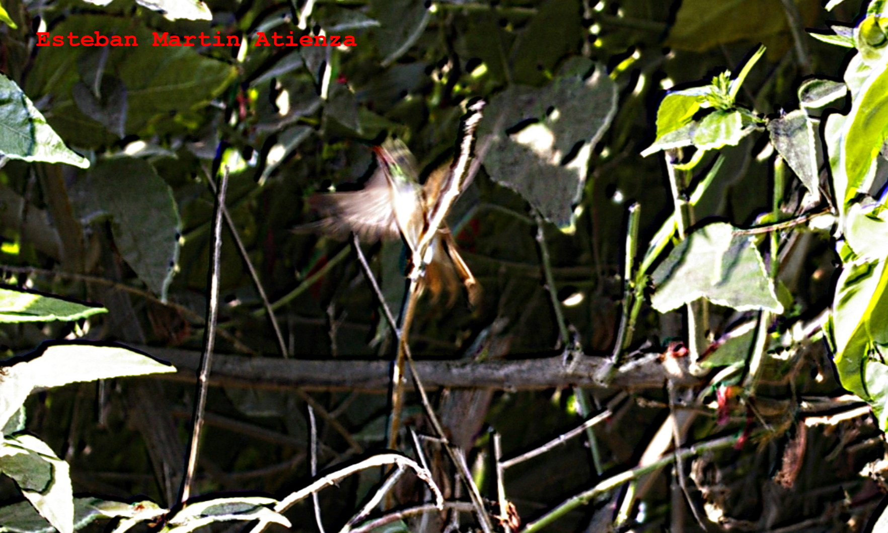
Colibri.
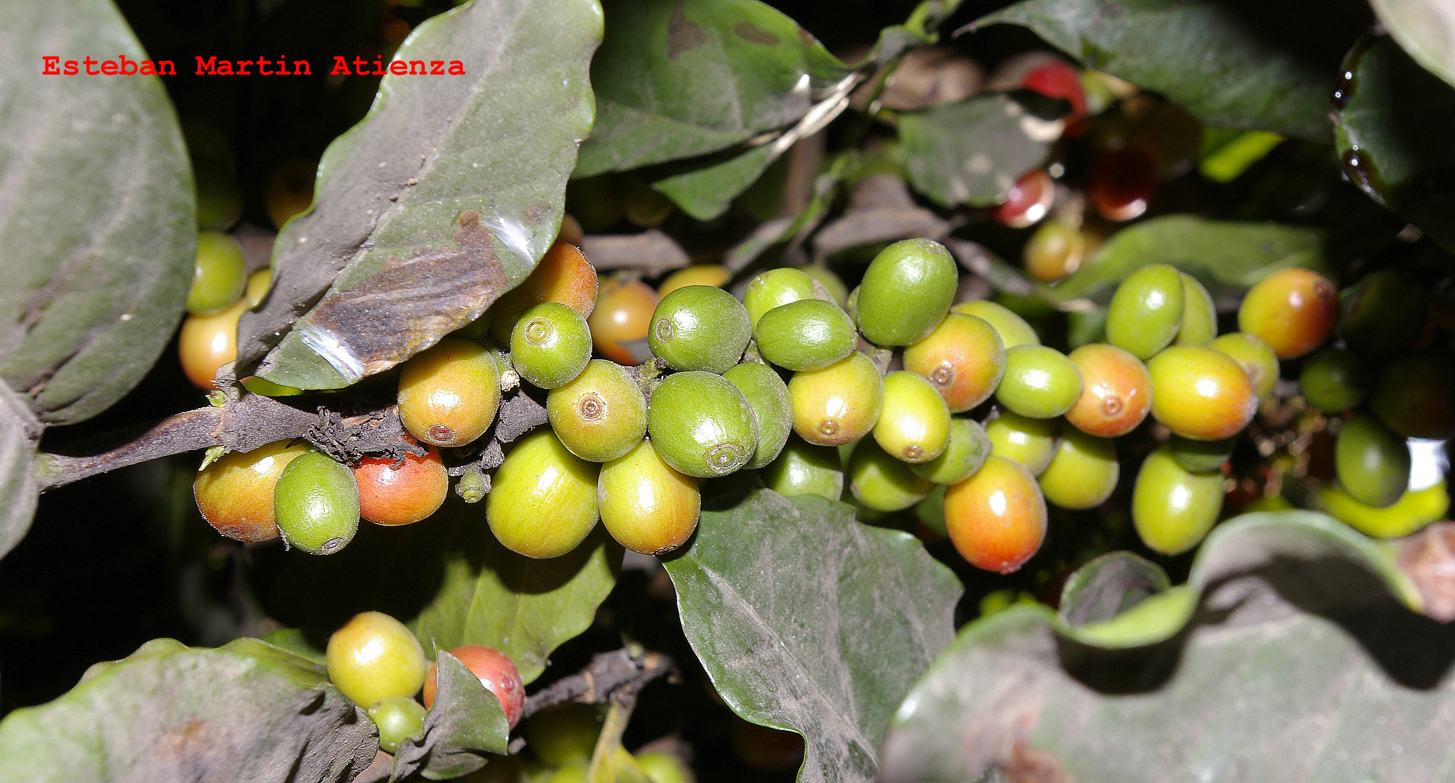
Fruta fresca, ( Cafe )
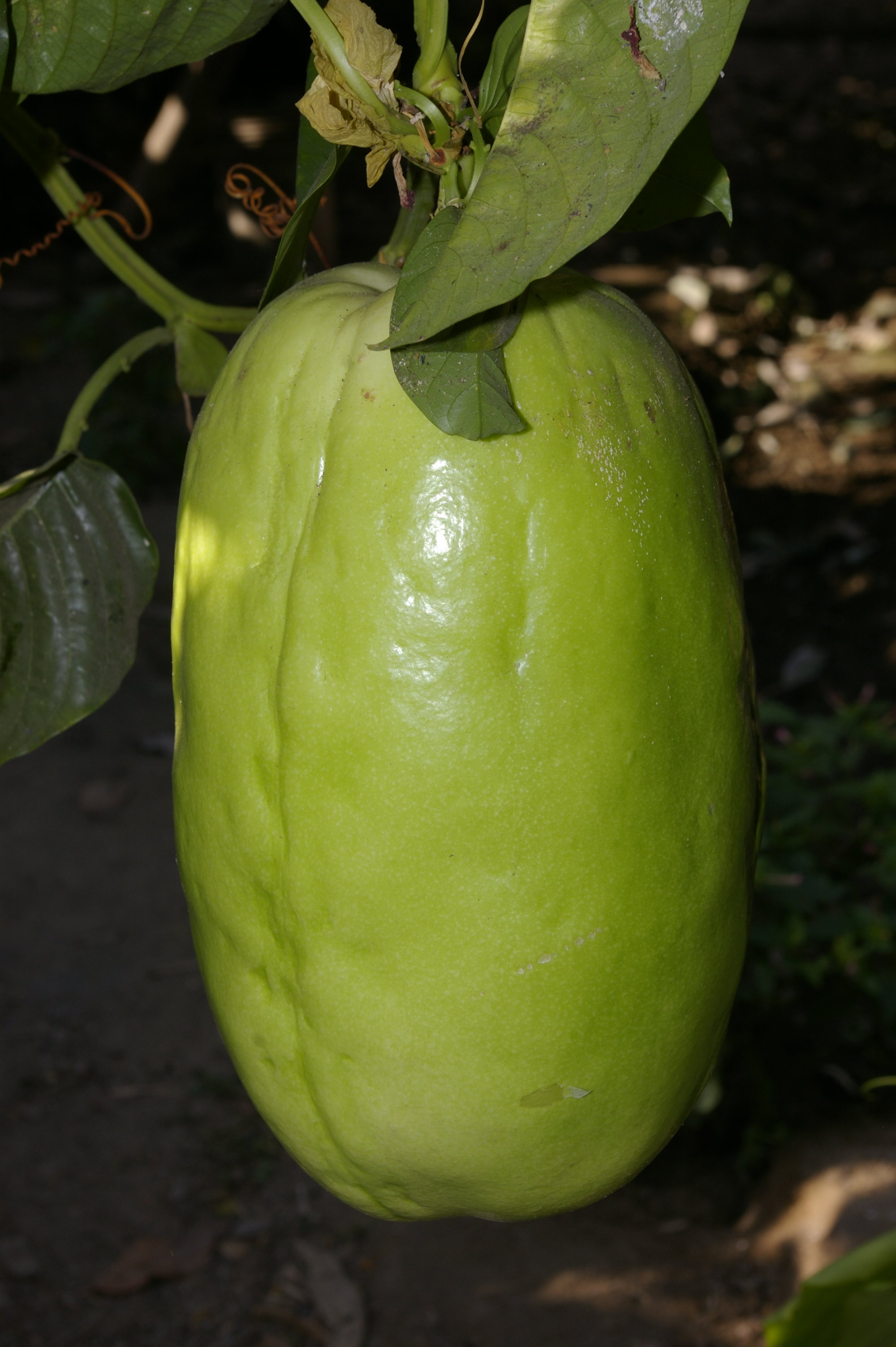
Fruta Fresca, ( Tumbo)
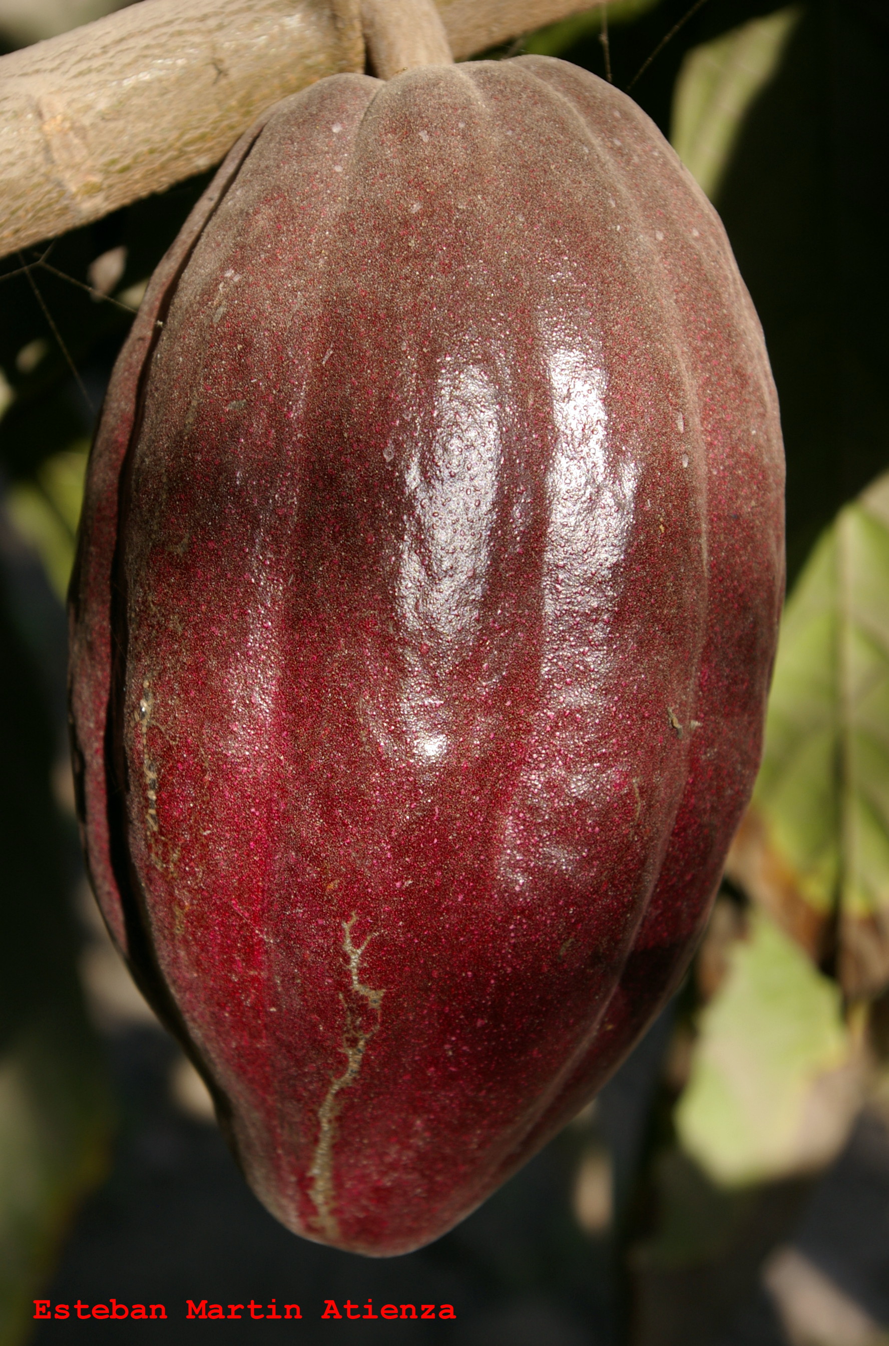
Fruta fresca ( Cacao)
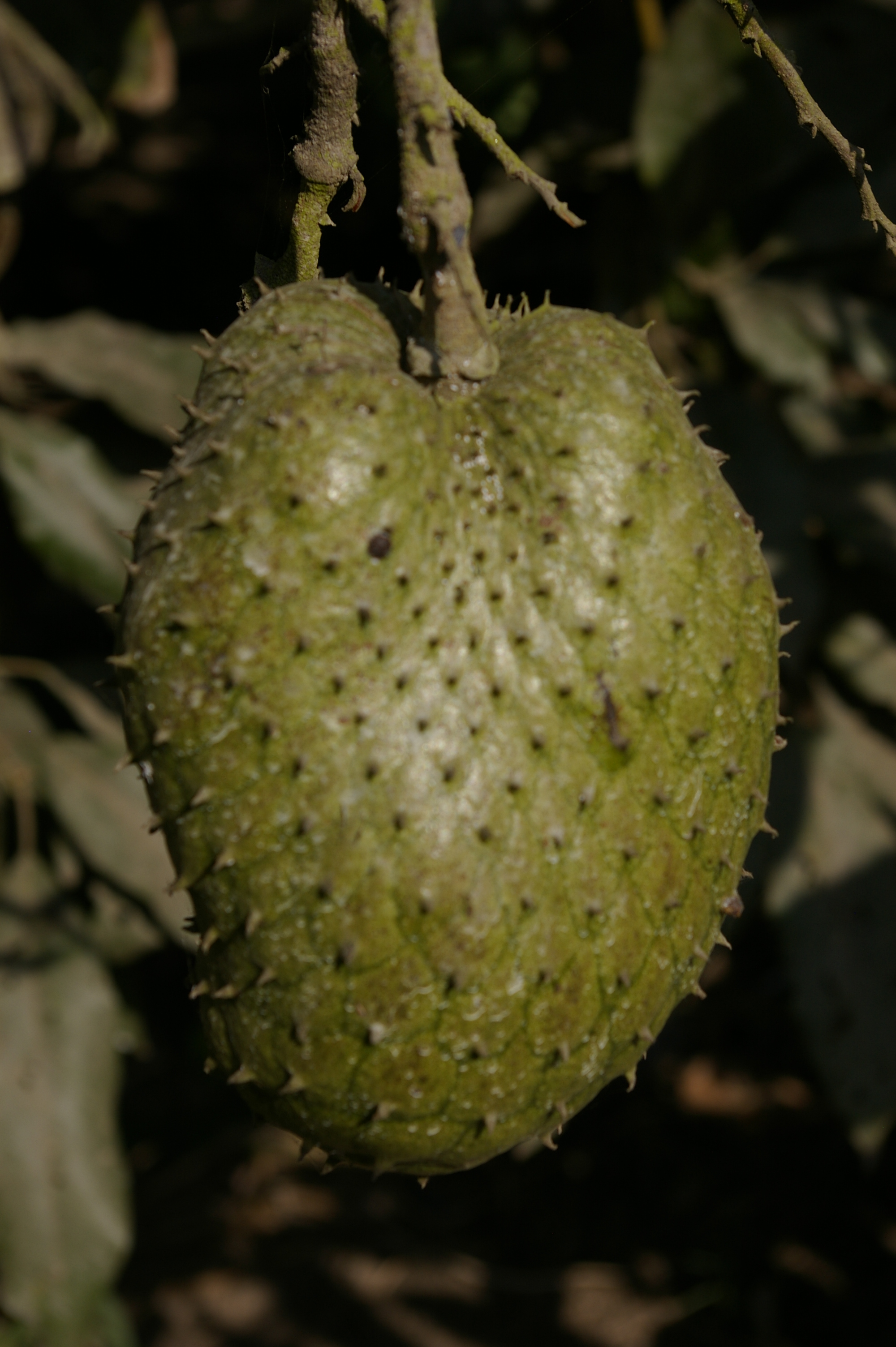
Frutas fresca (Huanabana )

Frutas Frescas ( maracuya).

(Las quiero todas)
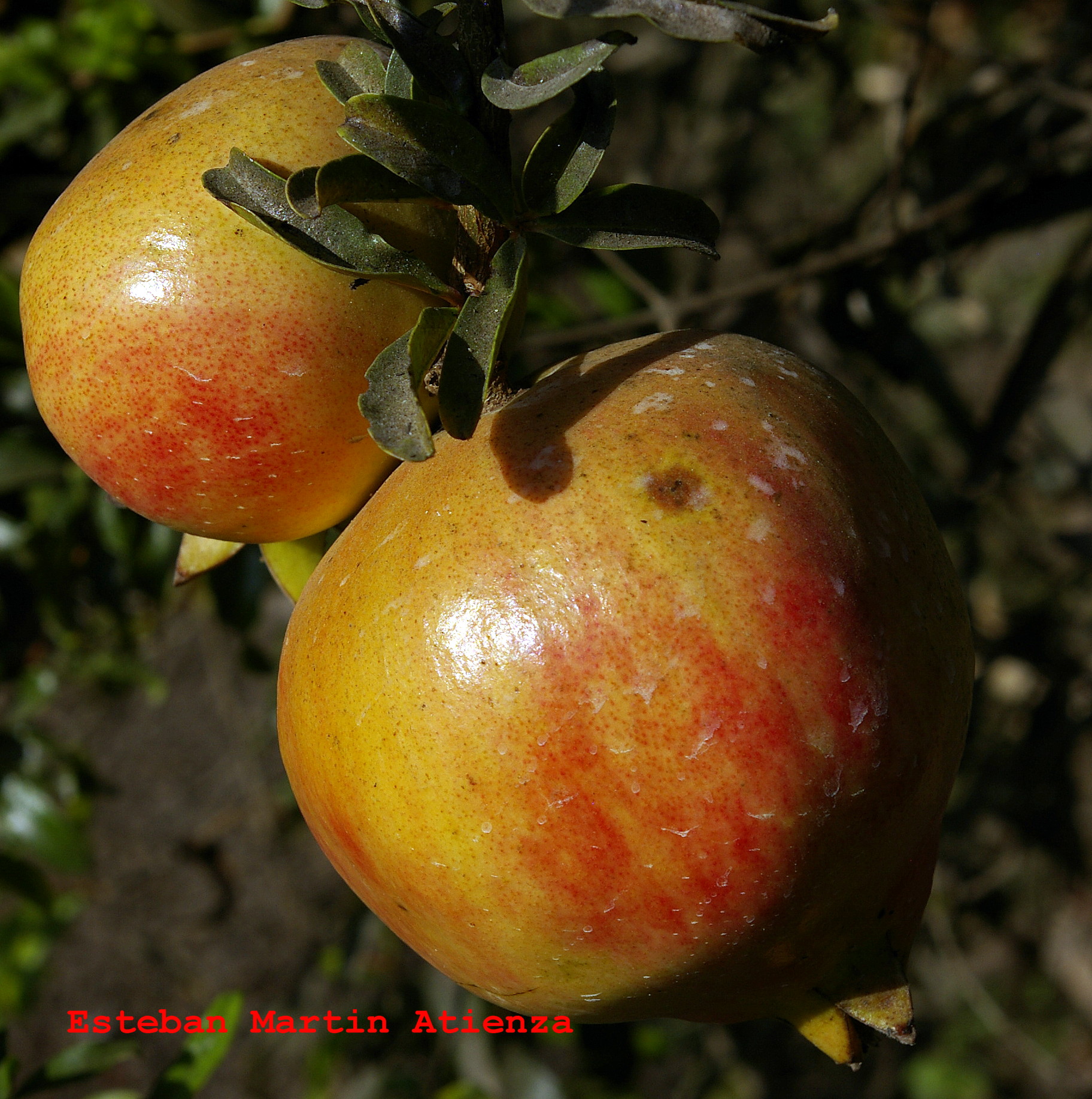
Fruta fresca,( Granadas )
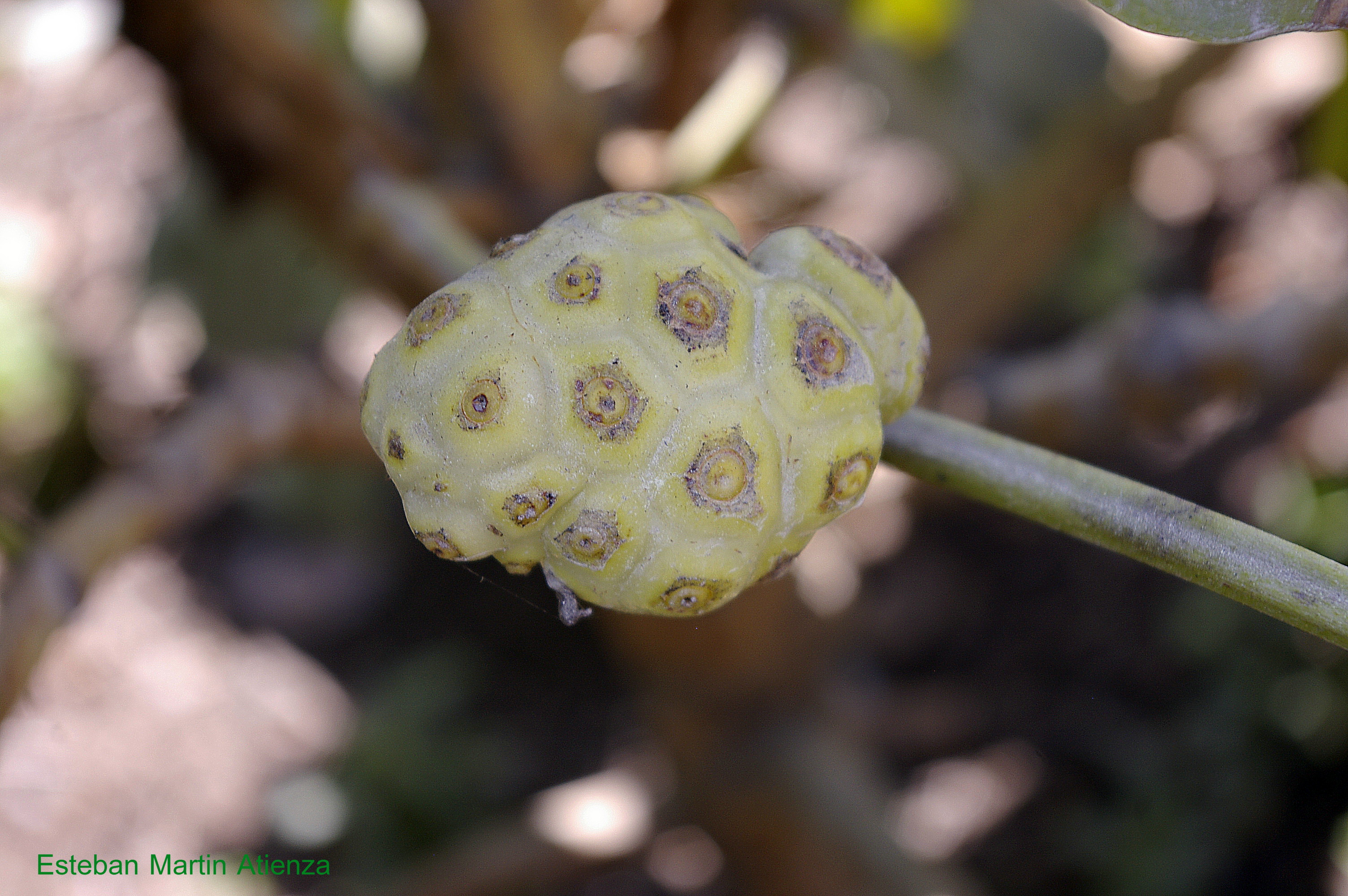
Frutas frescas ( Noni )

Frutas fresca ( Lucuma )
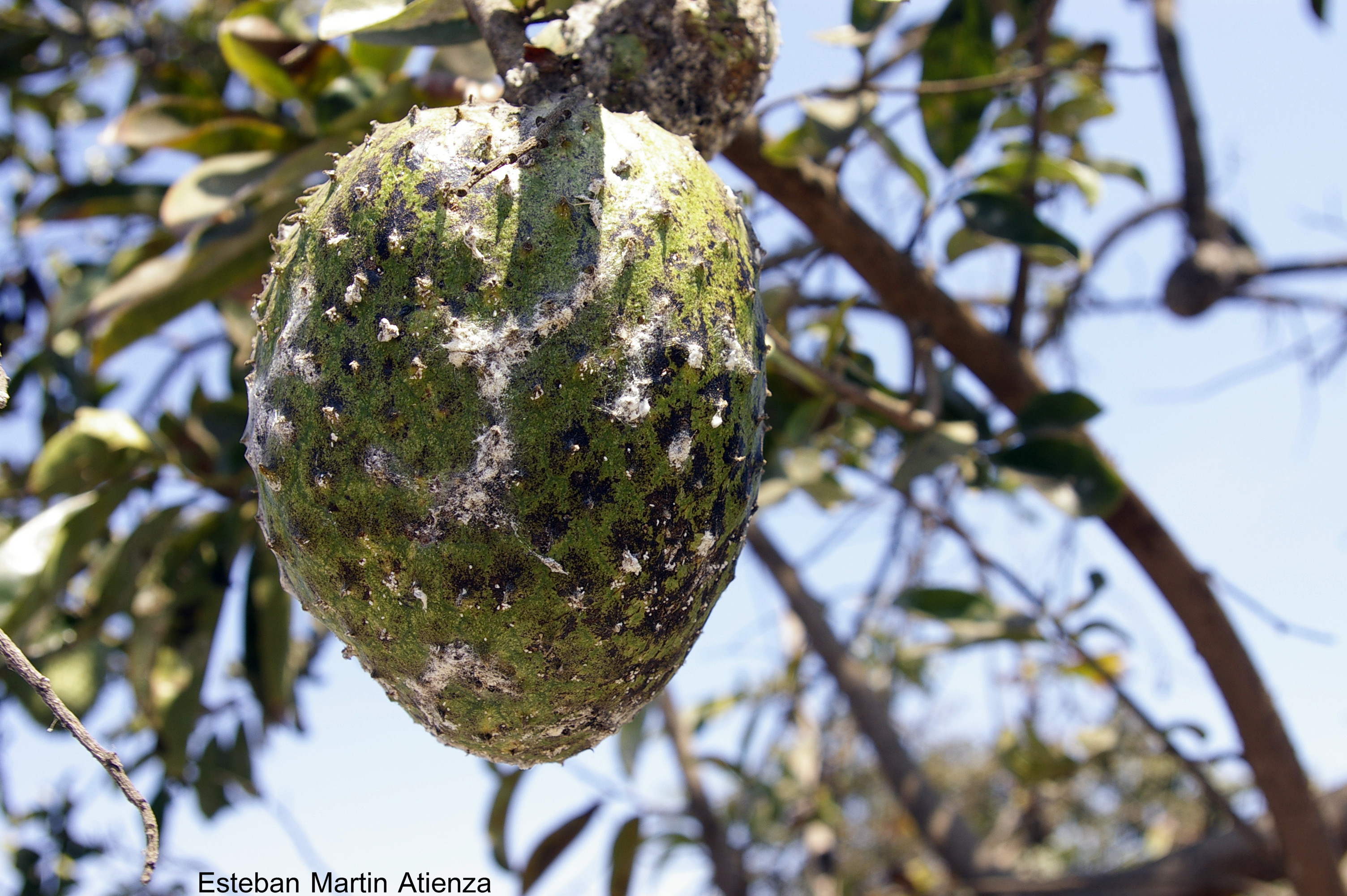
Frutas frescas.(Guanabana)

Viejo y cansado
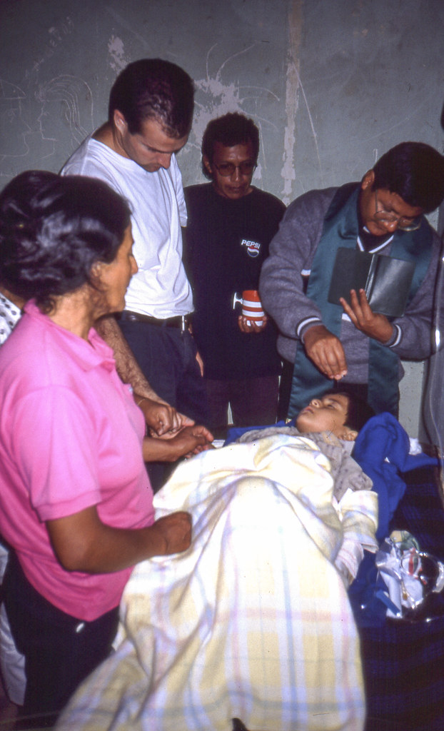
La historia de Brandon
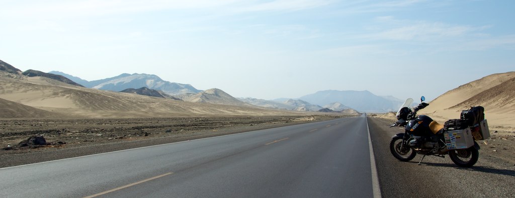
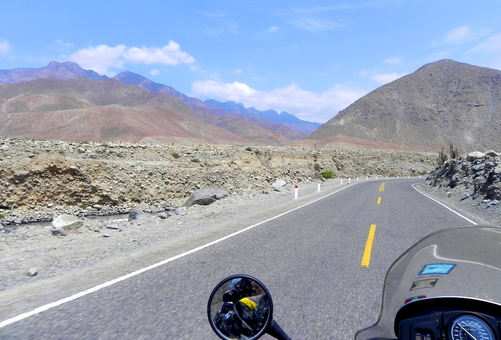
Pan American Highway, Northern Peru
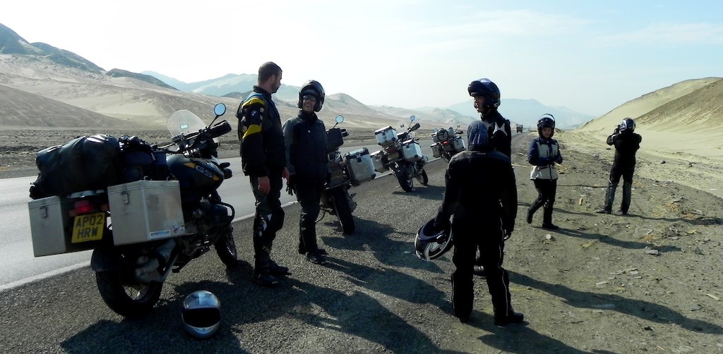
Colombian BMW Riders met on the Pan Am

Pan American Highway, Northern Peru
Road in Peru
Topographic Map of Panamericana Nte. 25, Puente Virú, Peru
Find elevation by address:

Places near Panamericana Nte. 25, Puente Virú, Peru:
Av Trujillo 2
Trujillo
Huanchaco
Ascope
Contumazá Province
Pacasmayo Province
8 12, Peru
San Pedro De Lloc
Mirador
Panamericana Nte., San Jose de Moro, Peru
Recent Searches:
- Elevation of Corso Fratelli Cairoli, 35, Macerata MC, Italy
- Elevation of Tallevast Rd, Sarasota, FL, USA
- Elevation of 4th St E, Sonoma, CA, USA
- Elevation of Black Hollow Rd, Pennsdale, PA, USA
- Elevation of Oakland Ave, Williamsport, PA, USA
- Elevation of Pedrógão Grande, Portugal
- Elevation of Klee Dr, Martinsburg, WV, USA
- Elevation of Via Roma, Pieranica CR, Italy
- Elevation of Tavkvetili Mountain, Georgia
- Elevation of Hartfords Bluff Cir, Mt Pleasant, SC, USA