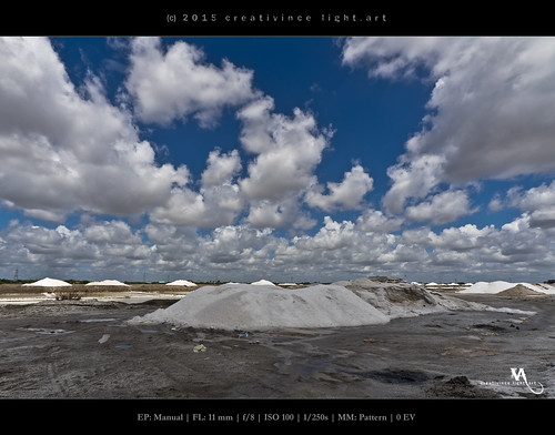
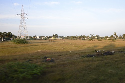
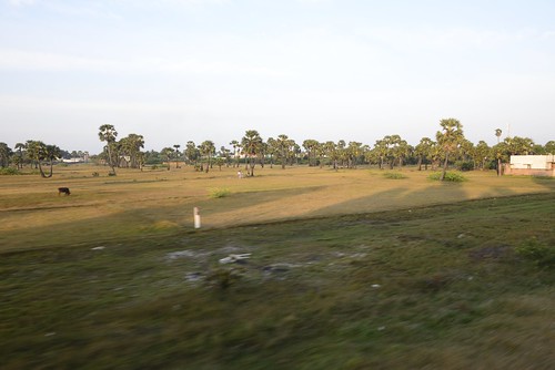
Elevation of Panaikulam, Tamil Nadu, India
Location: India > Tamil Nadu > Ramanathapuram >
Longitude: 78.954279
Latitude: 9.3741686
Elevation: 7m / 23feet
Barometric Pressure: 101KPa
Related Photos:
Topographic Map of Panaikulam, Tamil Nadu, India
Find elevation by address:

Places near Panaikulam, Tamil Nadu, India:
Muthariyarnagar
Muthupettai
Ramanathapuram
Tiruppullani
Landai
Pottagavayal
Mummudisathan
Valanur
Rameswaram
Talaimannar
Mannar
Jaffna
Chundikuli Junction
நல்லூர் கந்தசுவாமிகோவில்
Nallur
Valikamam North
Tellippalai
Sri Lanka Police Jaffna Airport
Palali
Jaffna
Recent Searches:
- Elevation of Corso Fratelli Cairoli, 35, Macerata MC, Italy
- Elevation of Tallevast Rd, Sarasota, FL, USA
- Elevation of 4th St E, Sonoma, CA, USA
- Elevation of Black Hollow Rd, Pennsdale, PA, USA
- Elevation of Oakland Ave, Williamsport, PA, USA
- Elevation of Pedrógão Grande, Portugal
- Elevation of Klee Dr, Martinsburg, WV, USA
- Elevation of Via Roma, Pieranica CR, Italy
- Elevation of Tavkvetili Mountain, Georgia
- Elevation of Hartfords Bluff Cir, Mt Pleasant, SC, USA


