Elevation of Palmerston, Cook Islands
Location: Cook Islands >
Longitude: -163.19027
Latitude: -18.056468
Elevation: -10000m / -32808feet
Barometric Pressure: 295KPa
Elevation Map:
Satellite Map:
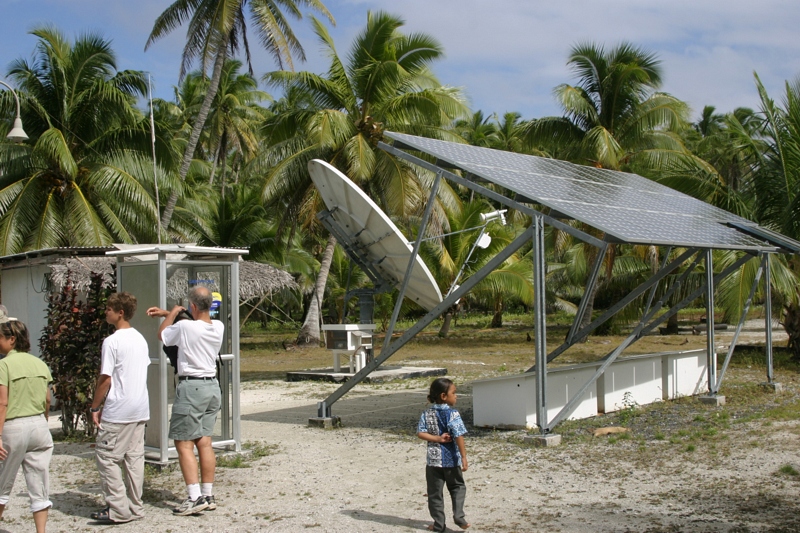
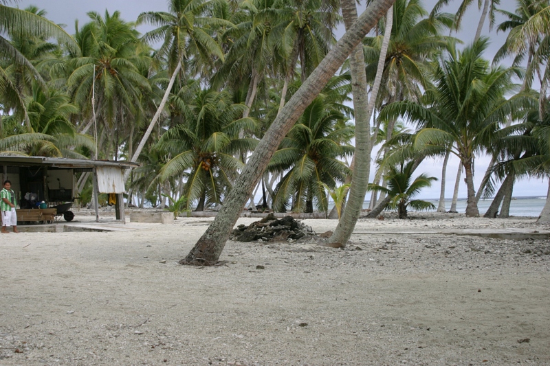
Related Photos:

189_8949.JPG

189_8948.JPG

189_8947.JPG

189_8946.JPG

189_8945.JPG

189_8939.jpg

189_8938.JPG

189_8935.JPG
189_8934.JPG
189_8927.JPG

100_0769.jpg

100_0767.jpg

100_0763.jpg

100_0758.jpg

100_0757.jpg

100_0755.jpg

100_0754.jpg

100_0750.jpg

100_0749.jpg

100_0742.jpg

100_0740.jpg
Topographic Map of Palmerston, Cook Islands
Find elevation by address:

Recent Searches:
- Elevation of Corso Fratelli Cairoli, 35, Macerata MC, Italy
- Elevation of Tallevast Rd, Sarasota, FL, USA
- Elevation of 4th St E, Sonoma, CA, USA
- Elevation of Black Hollow Rd, Pennsdale, PA, USA
- Elevation of Oakland Ave, Williamsport, PA, USA
- Elevation of Pedrógão Grande, Portugal
- Elevation of Klee Dr, Martinsburg, WV, USA
- Elevation of Via Roma, Pieranica CR, Italy
- Elevation of Tavkvetili Mountain, Georgia
- Elevation of Hartfords Bluff Cir, Mt Pleasant, SC, USA