Elevation of Palisades Ln, Watertown, SD, USA
Location: United States > South Dakota > Codington County > Watertown >
Longitude: -97.084525
Latitude: 44.9006805
Elevation: 531m / 1742feet
Barometric Pressure: 95KPa
Elevation Map:
Satellite Map:
Related Photos:
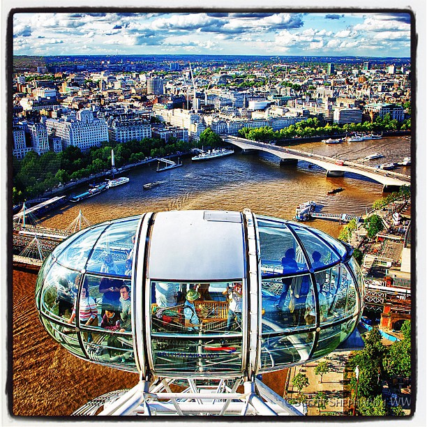
A View From the Eye

Portrait In A Rear View Camera
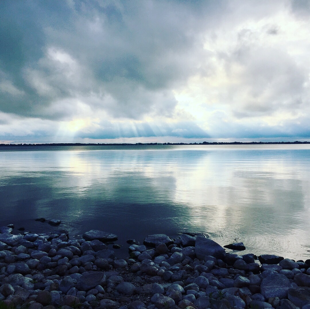
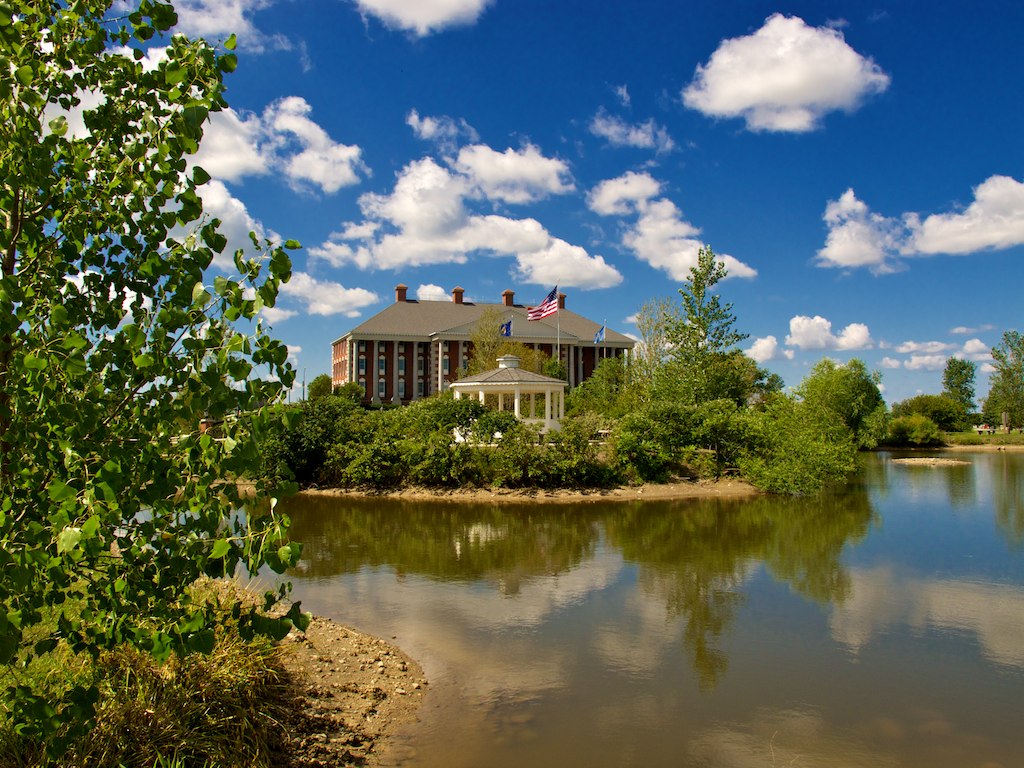
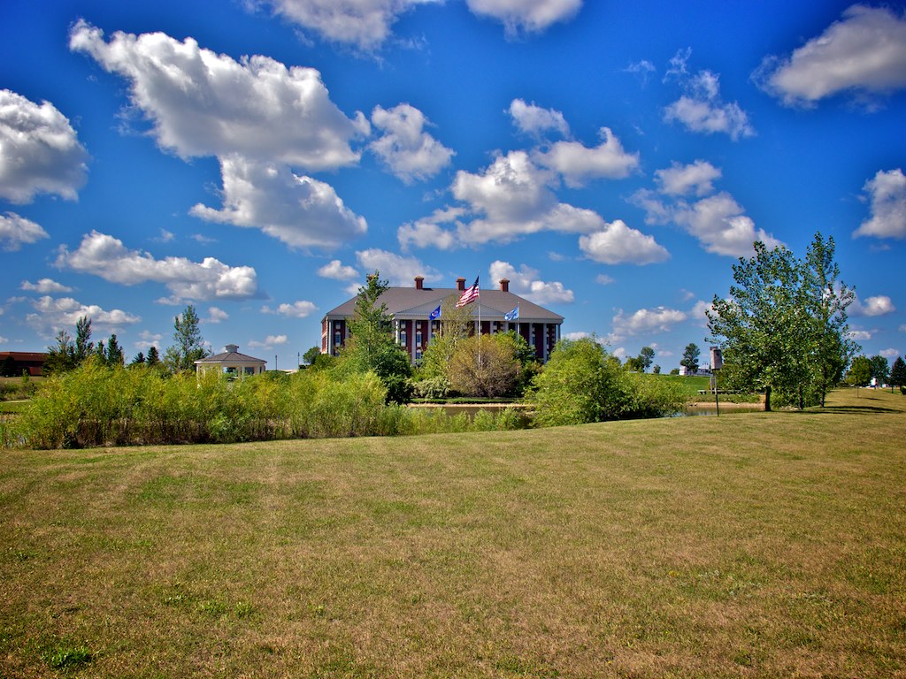
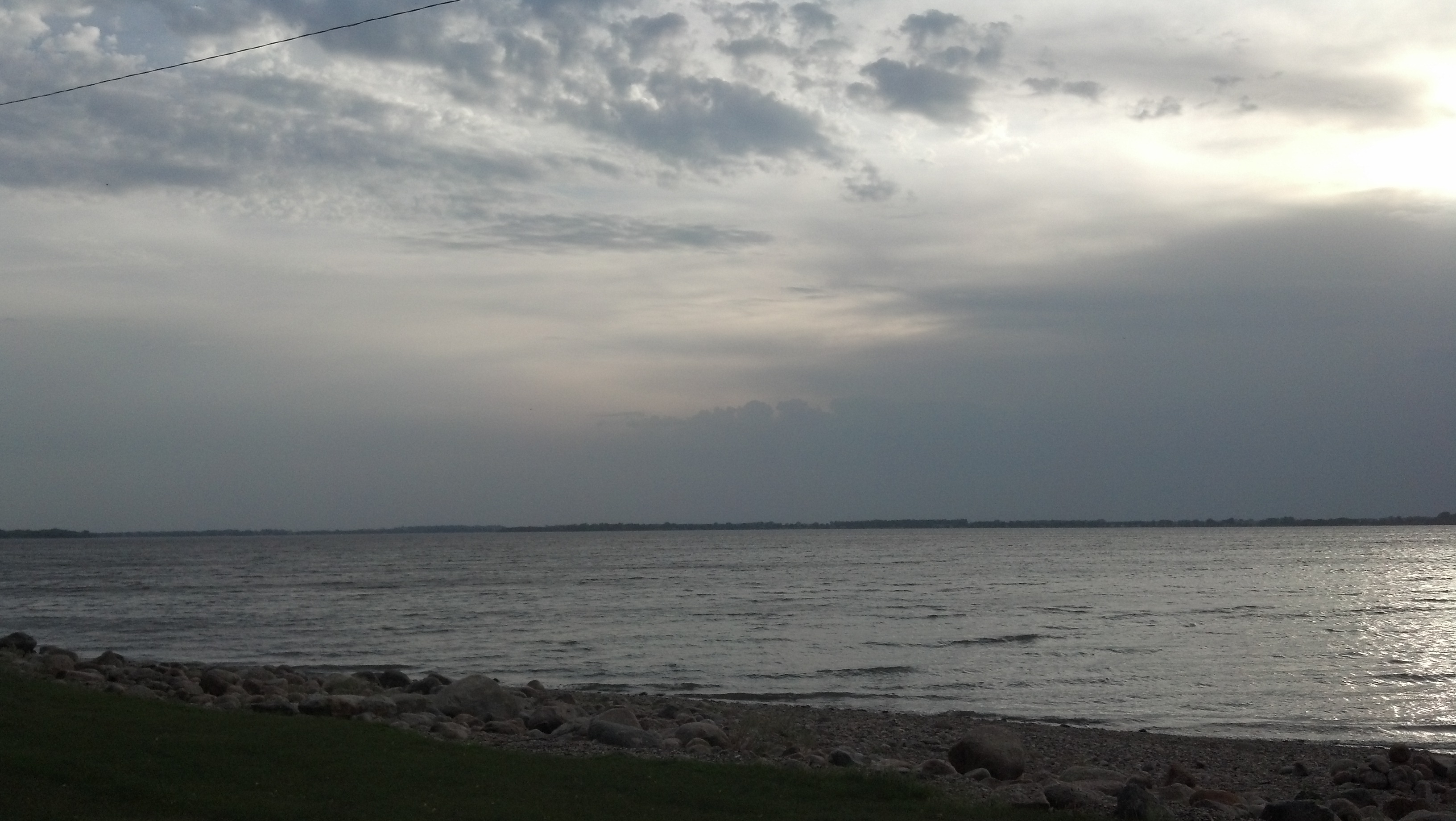
Lake Kampeska

Back by Lonesome Lake

Wheat (Harvest Festival Possibilities
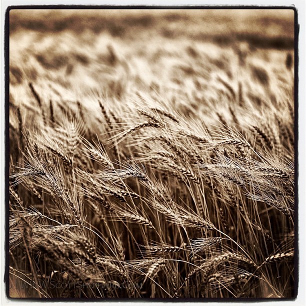
Last Wheat Pic
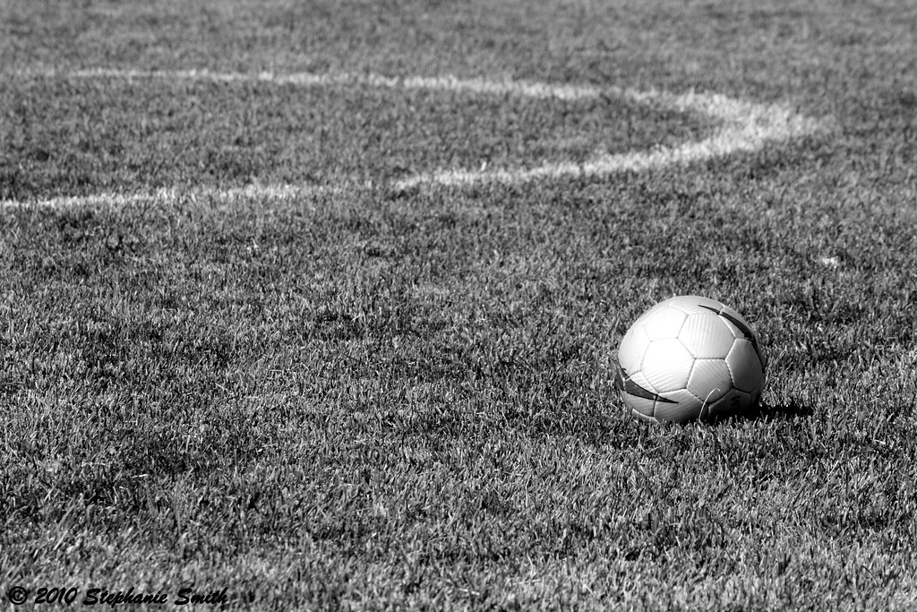
Soccer Ball

2012-05-21_21-20-41_274
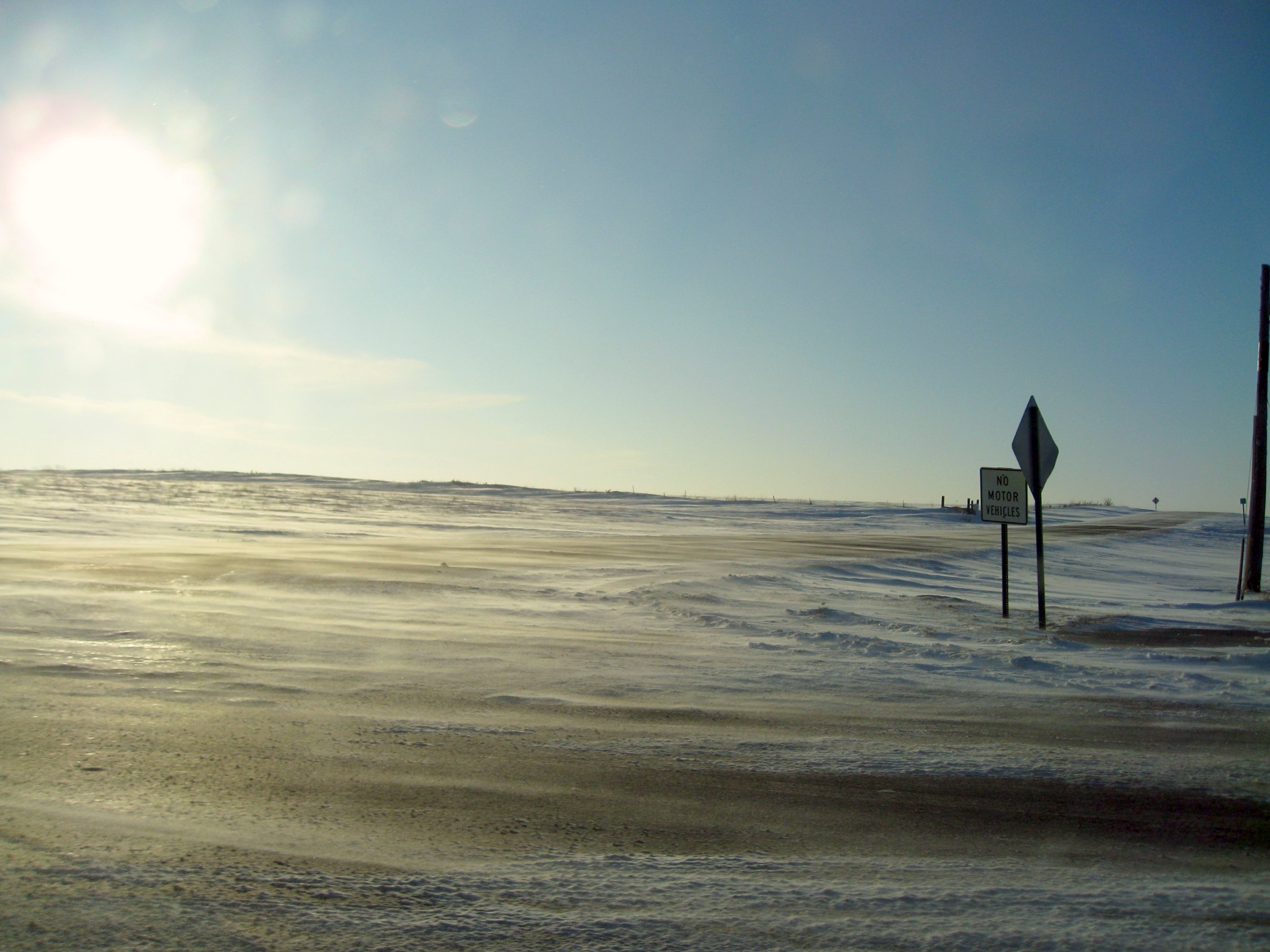
windswept roads
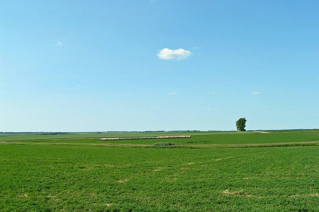
Miles and Miles
Watertown SD 6

2012-05-21_21-20-47_410
Lake Kampeska
Watertown SD 8
2012-05-22_19-39-51_808

South Dakota-12

Amber Waves

Golden Braids

My favorite cowboy

IMG_1919 POTD
Topographic Map of Palisades Ln, Watertown, SD, USA
Find elevation by address:

Places near Palisades Ln, Watertown, SD, USA:
114 18th St Ne
1933 Willow Creek Dr
2200 Willow Creek Dr
2500 Willow Creek Dr
2800 Willow Creek Dr
917 9th Ave Se
180 2nd St Ne
301 9th Ave Se
340 S Maple
Watertown
25 S Broadway, Watertown, SD, USA
111 7th Ave Se
1400 N Maple
707 1st St Sw
901 4th Ave Sw
1500 Sd-20
138 S Lake Dr
16649 451st Ave
Codington County
Recent Searches:
- Elevation of Corso Fratelli Cairoli, 35, Macerata MC, Italy
- Elevation of Tallevast Rd, Sarasota, FL, USA
- Elevation of 4th St E, Sonoma, CA, USA
- Elevation of Black Hollow Rd, Pennsdale, PA, USA
- Elevation of Oakland Ave, Williamsport, PA, USA
- Elevation of Pedrógão Grande, Portugal
- Elevation of Klee Dr, Martinsburg, WV, USA
- Elevation of Via Roma, Pieranica CR, Italy
- Elevation of Tavkvetili Mountain, Georgia
- Elevation of Hartfords Bluff Cir, Mt Pleasant, SC, USA