Elevation of Palakurthy, Telangana, India
Location: India > Telangana > Warangal >
Longitude: 79.4310836
Latitude: 17.6599086
Elevation: 291m / 955feet
Barometric Pressure: 98KPa
Elevation Map:
Satellite Map:
Related Photos:
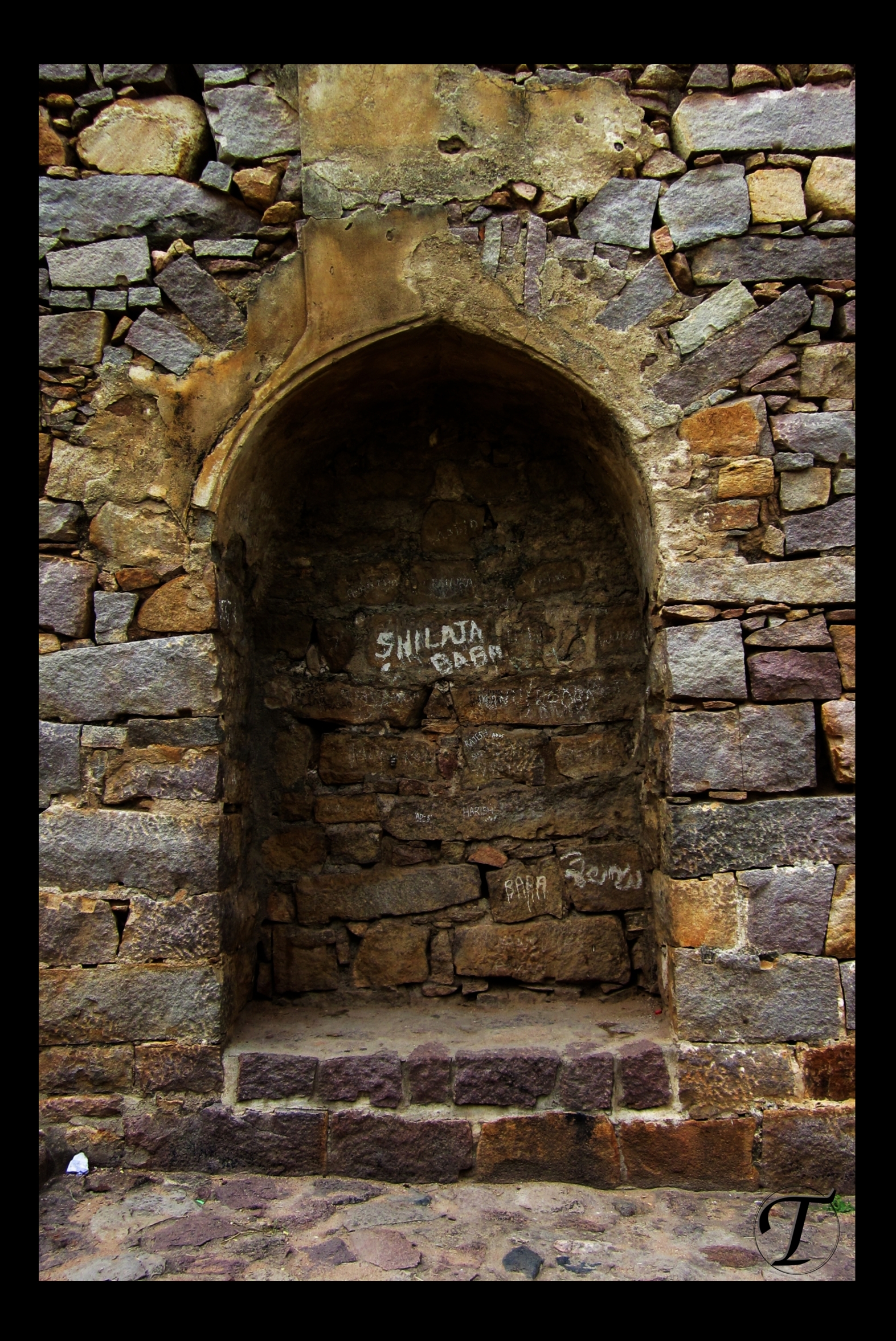
கோல்கொண்டா கோட்டைச் சுவரில் ஒரு காதல்...
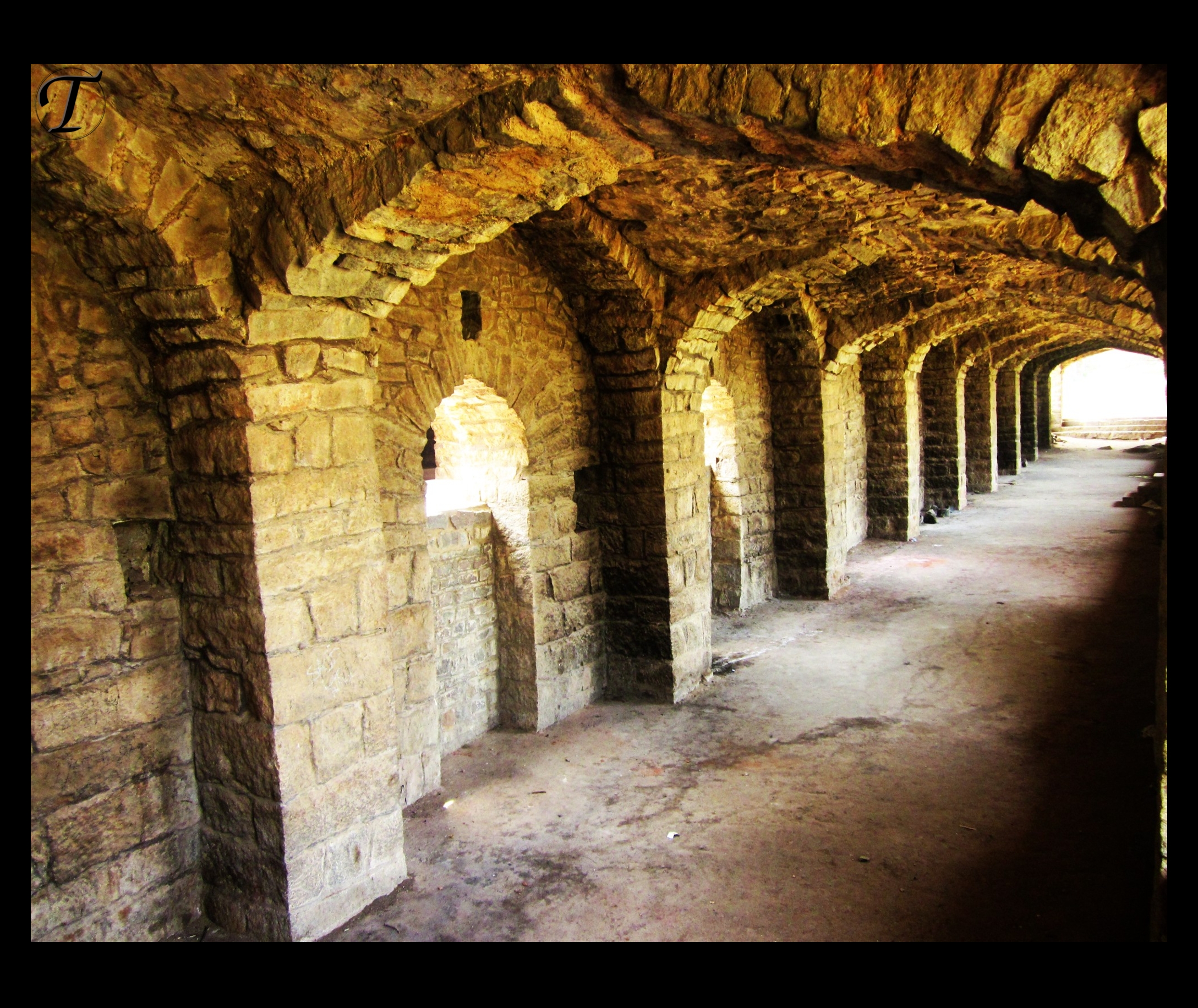
கோல்கொண்டா
Topographic Map of Palakurthy, Telangana, India
Find elevation by address:

Places near Palakurthy, Telangana, India:
Gundala
Palakurthi Someshwar Lakshmi Narasimha Temple
Tungaturthi
Dharmasagar
Dharmasagar Lake
Warangal
Narmetta
Ghanpur Station
Girmajipet
Aler
Nekkonda
Aler
Kesamudram
Maddur
Chennaraopet
Husnabad
Nalgonda
Cherial
Narsampet
Manasa Nagar
Recent Searches:
- Elevation of Corso Fratelli Cairoli, 35, Macerata MC, Italy
- Elevation of Tallevast Rd, Sarasota, FL, USA
- Elevation of 4th St E, Sonoma, CA, USA
- Elevation of Black Hollow Rd, Pennsdale, PA, USA
- Elevation of Oakland Ave, Williamsport, PA, USA
- Elevation of Pedrógão Grande, Portugal
- Elevation of Klee Dr, Martinsburg, WV, USA
- Elevation of Via Roma, Pieranica CR, Italy
- Elevation of Tavkvetili Mountain, Georgia
- Elevation of Hartfords Bluff Cir, Mt Pleasant, SC, USA