Elevation map of Palakkad, Kerala, India
Location: India > Kerala >
Longitude: 76.5488232
Latitude: 10.9512736
Elevation: 194m / 636feet
Barometric Pressure: 99KPa
Elevation Map:
Satellite Map:
Related Photos:
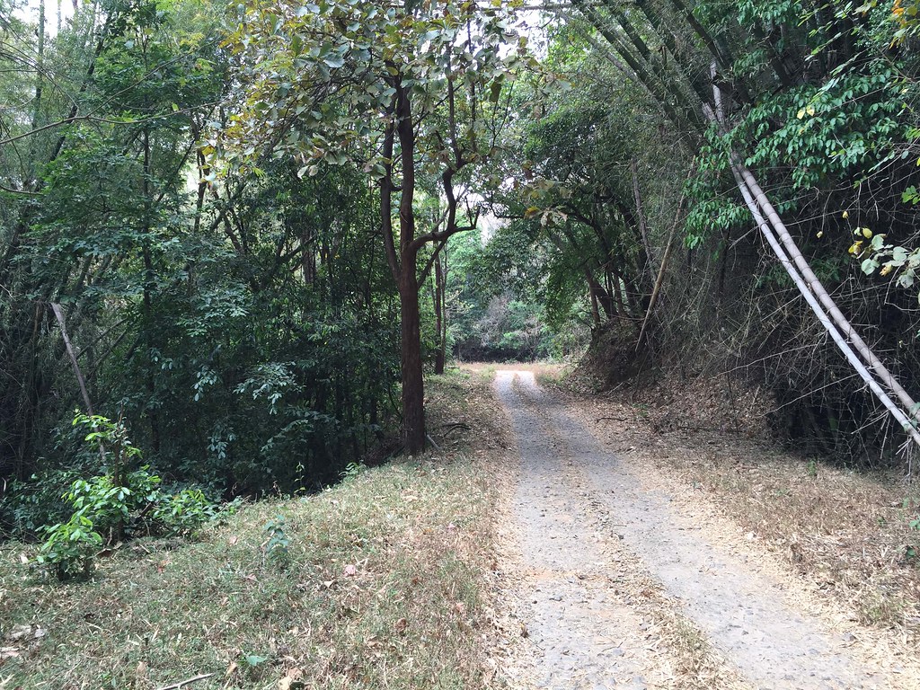
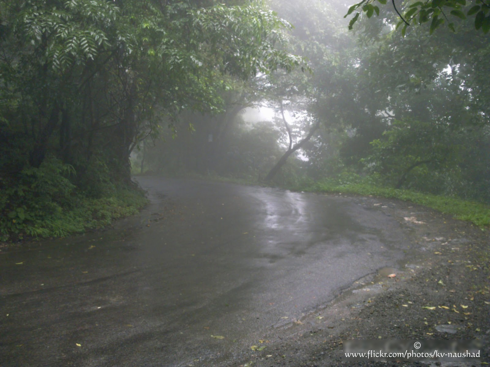
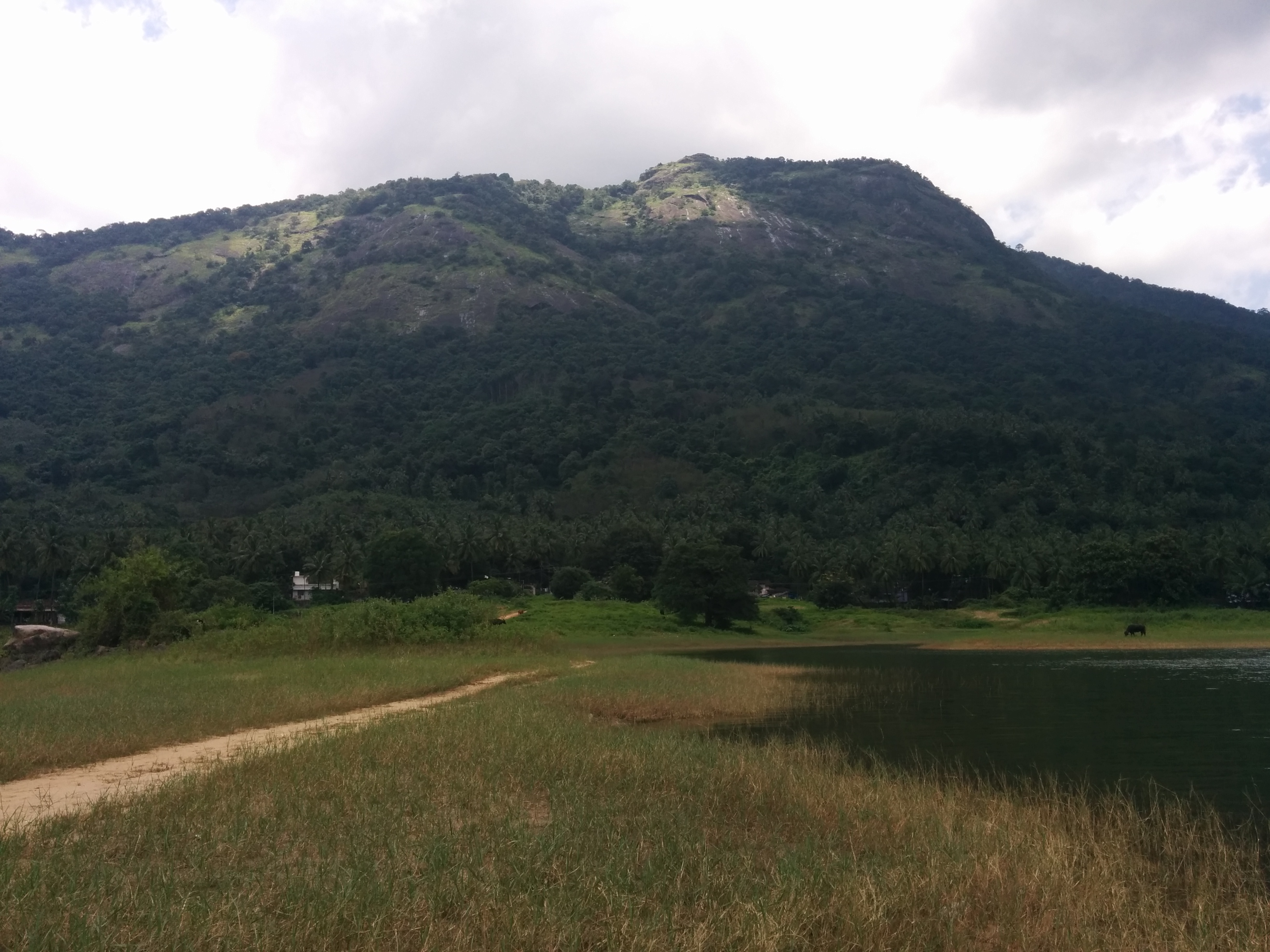
forest view, Silent Valley National Park, Kerala, India, 2015-02-26--101
views, Silent Valley National Park, Kerala, India, 2015-02-26--101
Meenvallam, Palakkad, Kerala
Kanjirapuzha, Mannarkkad

walk through rice paddies

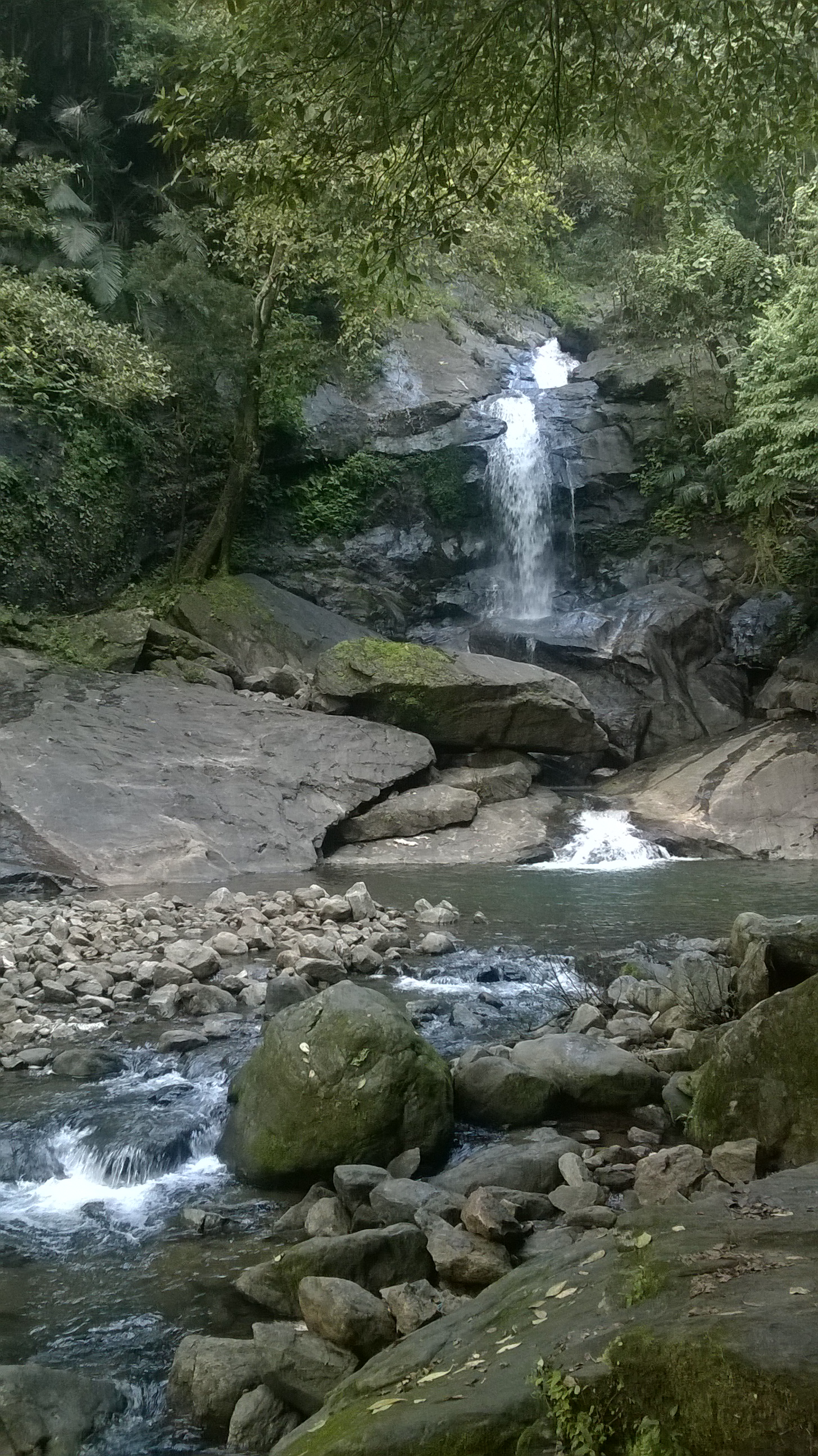
Atla Waterfalls

Kanjirapuzha, Mannarkkad
My snap196
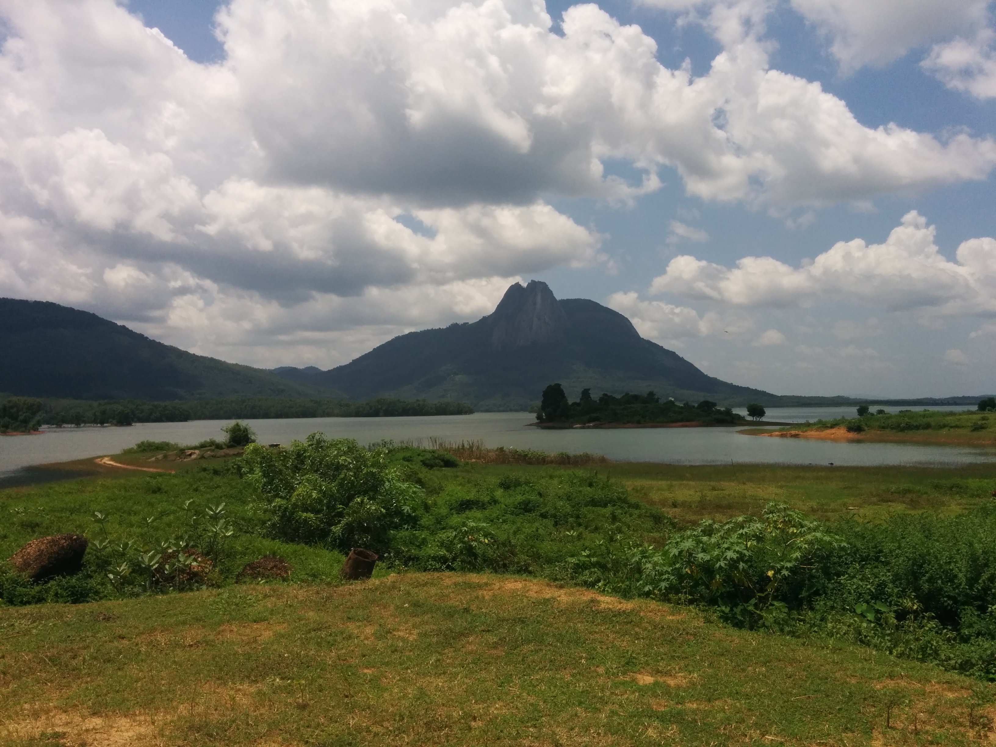
Kanhirapuzha Dam

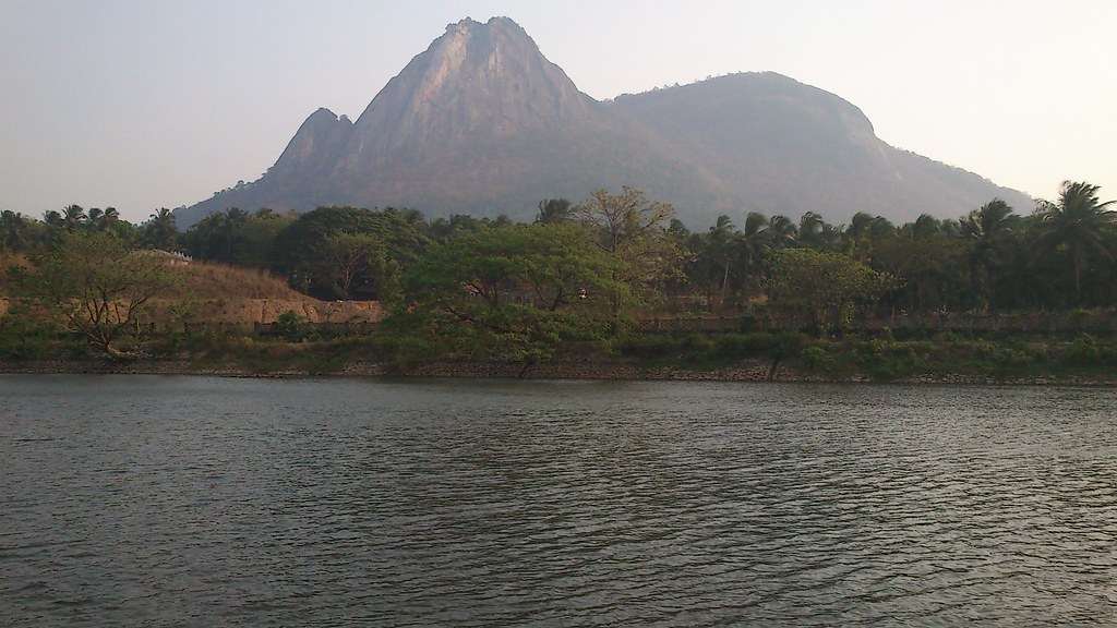
Velliangiri Mountains
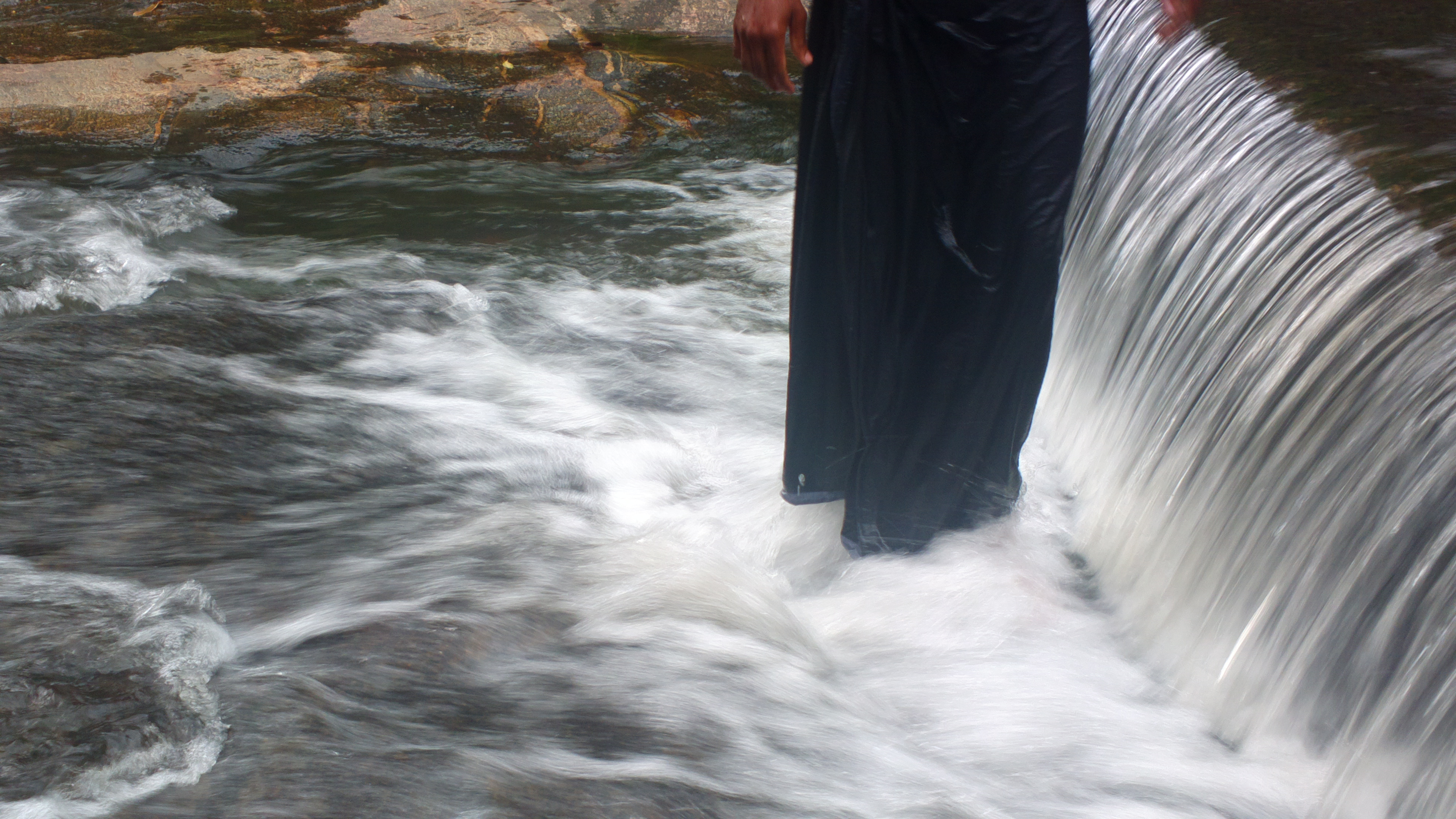
long exposure water flow
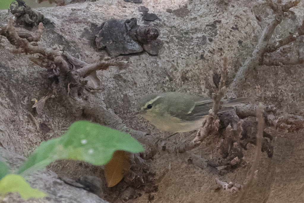
Greenish Warbler (Phylloscopus trochiloides), Silent Valley National Park, Kerala, India, 2015-02-26--104

Kanjirapuzha, Mannarkkad
Kanjirapuzha, Mannarkkad

Kanhirapuzha Dam
Topographic Map of Palakkad, Kerala, India
Find elevation by address:

Places in Palakkad, Kerala, India:
Alathur
Kinnakorai
Kollengode
Panamkutty
Nelliampathi
Padagiri
Kollengode South
Attappadi
Malampuzha-i
Palakkad
Pallikkunnu
Nooradi
Muthalamada South
Palakkad
Keralassery
Agali
Sholayur
Nenmara
Vandazhi-i
Kizhakkancherry
Ongallur
Vallapuzha
Marayamangalam
Karinkallathani
Kottoppadam
Padavayal
Places near Palakkad, Kerala, India:
Palakkad
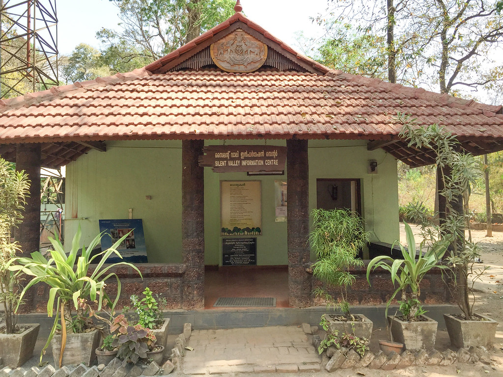
Silent Valley National Park
Attappadi
Pallikkunnu Post Office
Pallikkunnu
Keralassery
Keralassery High School
Velliangiri Sivan Temple
Velliangiri Hills
Velliangiri Andavar Temple Trail
Kottoppadam
Kallekkulangara
Akathethara
Palakkad Junction
Agali
Malampuzha Dam
Palakkad
Kalepully
Padavayal
Mukurthi National Park
Recent Searches:
- Elevation of Corso Fratelli Cairoli, 35, Macerata MC, Italy
- Elevation of Tallevast Rd, Sarasota, FL, USA
- Elevation of 4th St E, Sonoma, CA, USA
- Elevation of Black Hollow Rd, Pennsdale, PA, USA
- Elevation of Oakland Ave, Williamsport, PA, USA
- Elevation of Pedrógão Grande, Portugal
- Elevation of Klee Dr, Martinsburg, WV, USA
- Elevation of Via Roma, Pieranica CR, Italy
- Elevation of Tavkvetili Mountain, Georgia
- Elevation of Hartfords Bluff Cir, Mt Pleasant, SC, USA