Elevation of Palacios, TX, USA
Location: United States > Texas > Matagorda County >
Longitude: -96.217467
Latitude: 28.7080461
Elevation: 4m / 13feet
Barometric Pressure: 101KPa
Elevation Map:
Satellite Map:
Related Photos:
IMG_6833 (2)
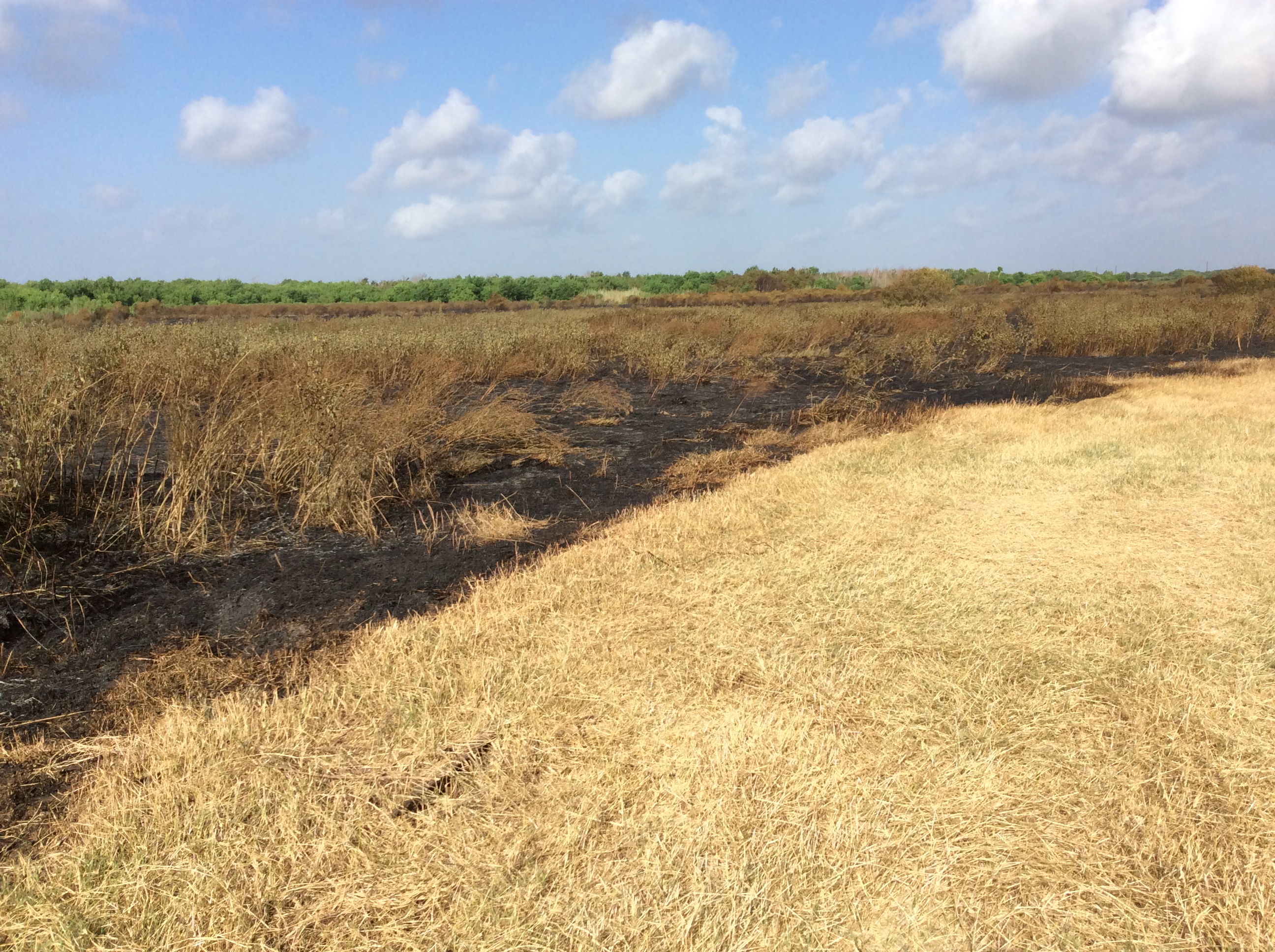
FDM20110624-4-4-Mad_Island_Marsh

Sunset Contemplation
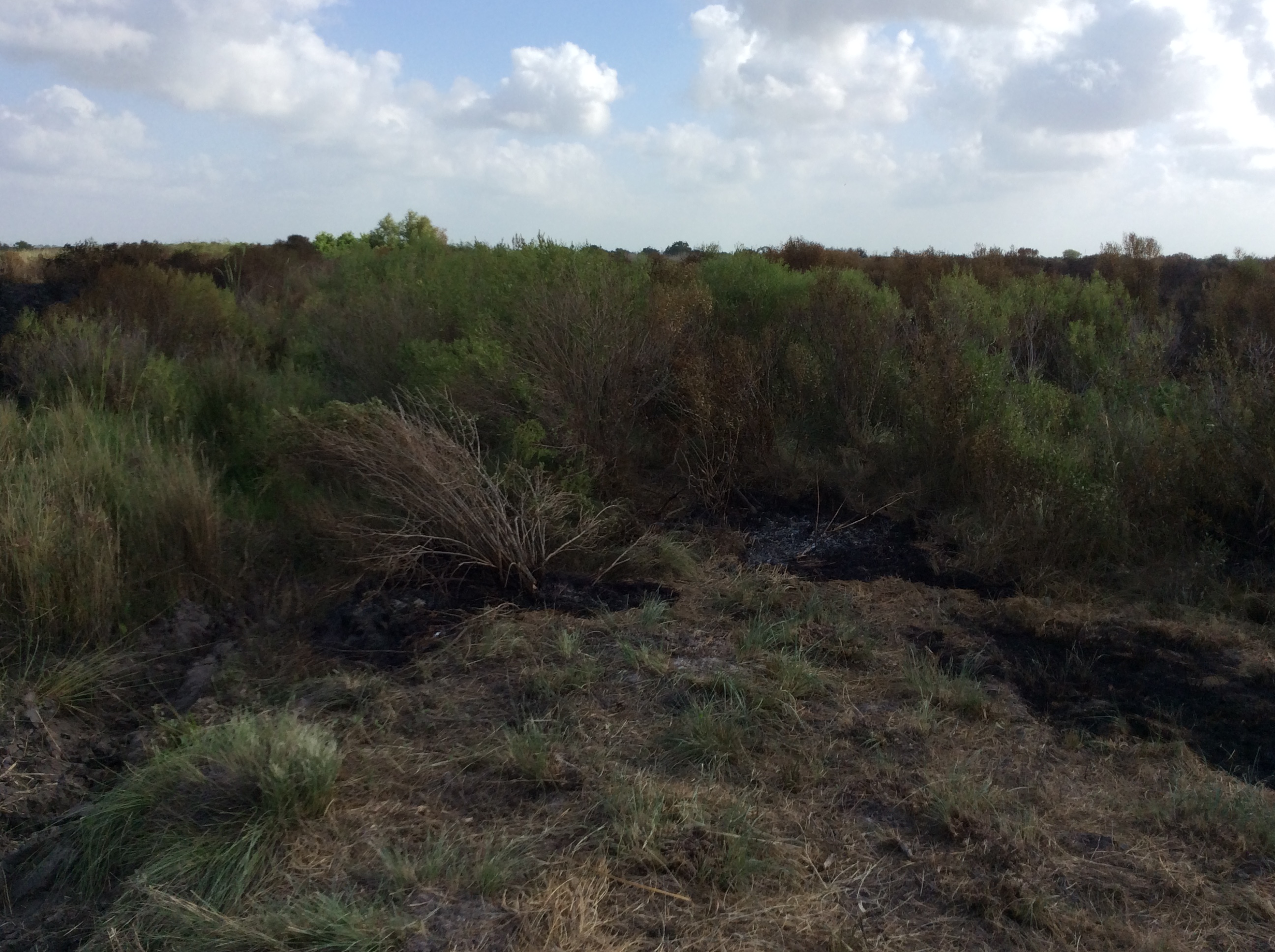
FDM20110624-2-1-Slough_Mad_Island
P25 DP6 Northwest

USA - Texas - Palacios
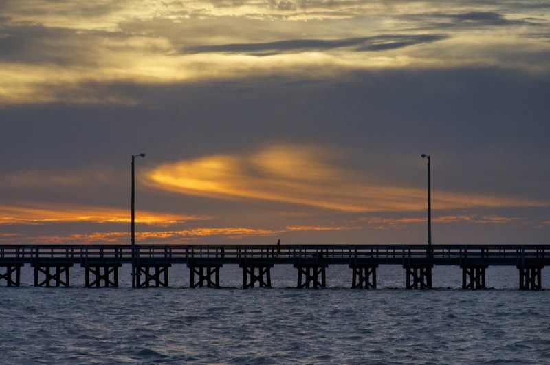
Sunset Pier

The Peaceful Pelican
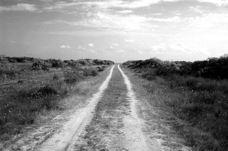
palacios, tx
P27 DP7 North
P10 DP10 East
P23 DP5 North
P20 DP3 North

P26 DP7 East
P25 DP6 Northwest
P19 DP3 East
P21 DP4 Northeast
P7 Bullbarn West
P18 DP2 South
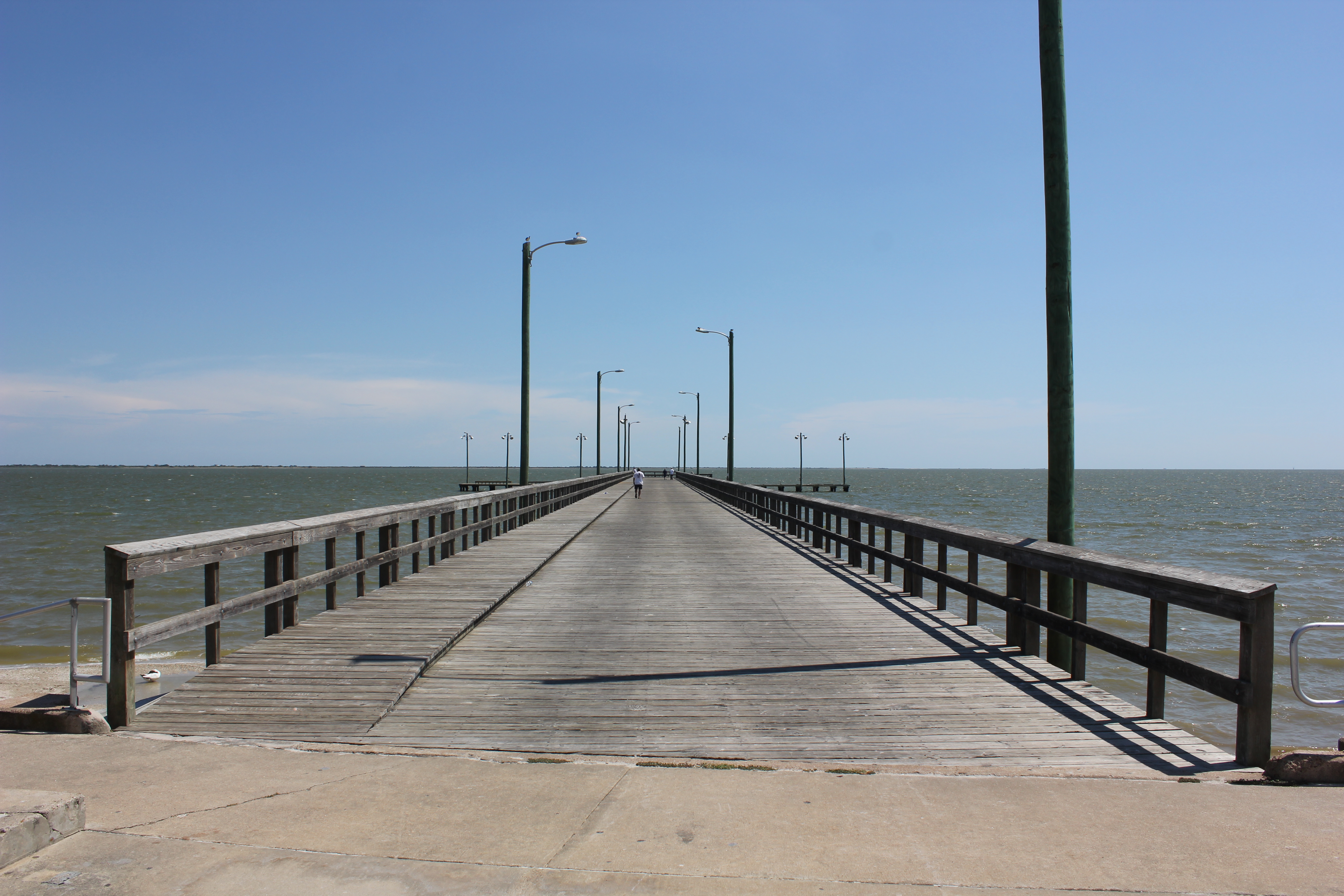
Palacios Fishing Pier
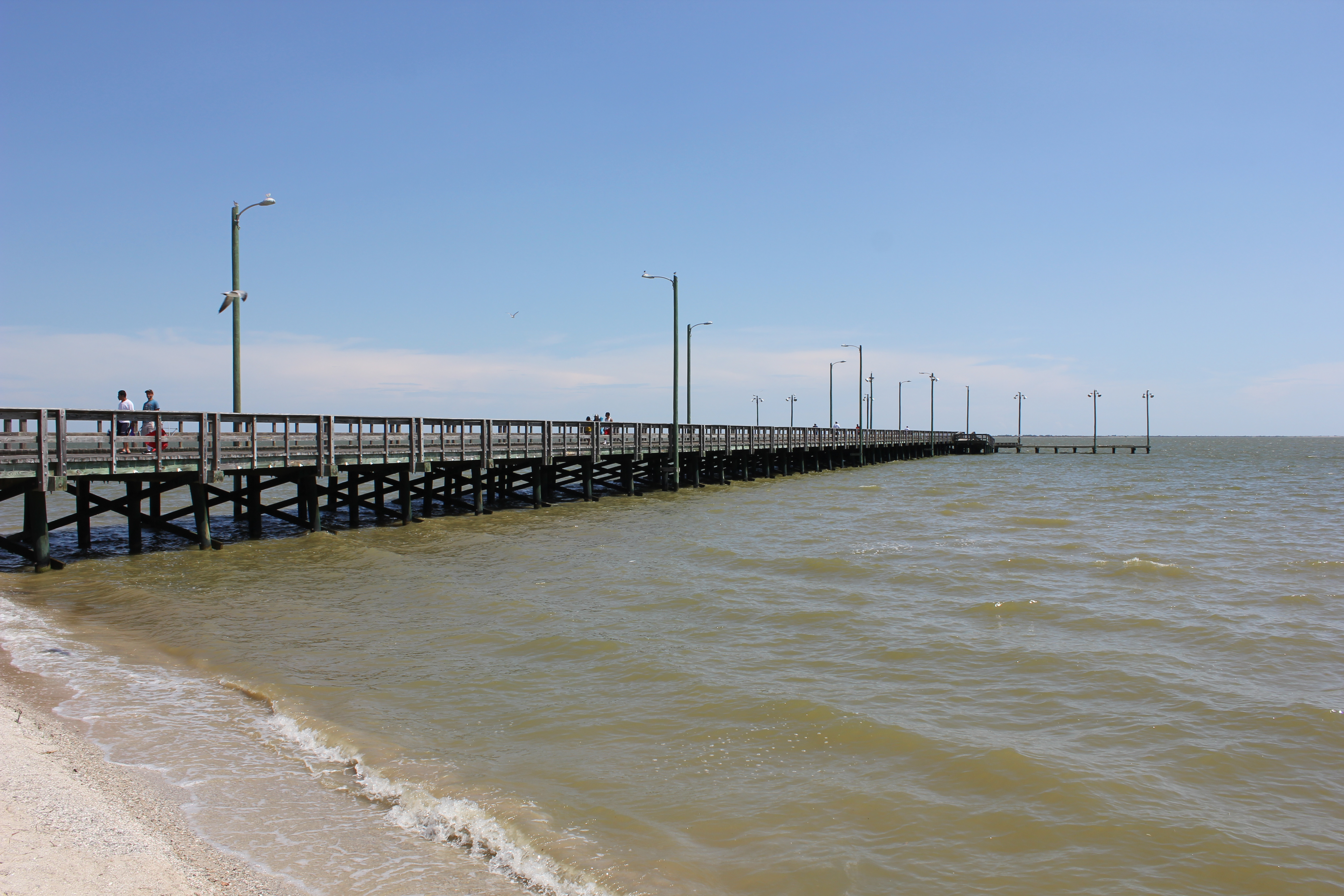
Palacios Fishing Pier
Topographic Map of Palacios, TX, USA
Find elevation by address:

Places in Palacios, TX, USA:
Ritchie Ave, Palacios, TX, USA
Farm To Market Road 1095
Catamaran Drive
Tomahawk Drive
County Road 322
Places near Palacios, TX, USA:
Ritchie Ave, Palacios, TX, USA
326 Main St
816 Commerce St
1508 Perryman Ave
1803 Gray St
1537 E Bayshore Dr
County Road 322
Collegeport
1855 Co Rd 476
1855 Co Rd 473
1855 Co Rd 473
1855 Co Rd 473
1855 Co Rd 473
1855 Co Rd 473
Farm To Market Road 1095
El Campo Beach Rd, Palacios, TX, USA
Schicke Rd Palacios, Port Lavaca, TX, USA
Catamaran Drive
Blessing
Hotel Blessing
Recent Searches:
- Elevation of Corso Fratelli Cairoli, 35, Macerata MC, Italy
- Elevation of Tallevast Rd, Sarasota, FL, USA
- Elevation of 4th St E, Sonoma, CA, USA
- Elevation of Black Hollow Rd, Pennsdale, PA, USA
- Elevation of Oakland Ave, Williamsport, PA, USA
- Elevation of Pedrógão Grande, Portugal
- Elevation of Klee Dr, Martinsburg, WV, USA
- Elevation of Via Roma, Pieranica CR, Italy
- Elevation of Tavkvetili Mountain, Georgia
- Elevation of Hartfords Bluff Cir, Mt Pleasant, SC, USA