Elevation map of Paintearth County No. 18, AB, Canada
Location: Canada > Alberta > Division No. 7 >
Longitude: -111.74451
Latitude: 52.1430561
Elevation: 833m / 2733feet
Barometric Pressure: 92KPa
Elevation Map:
Satellite Map:
Related Photos:

Huber Dam Lake

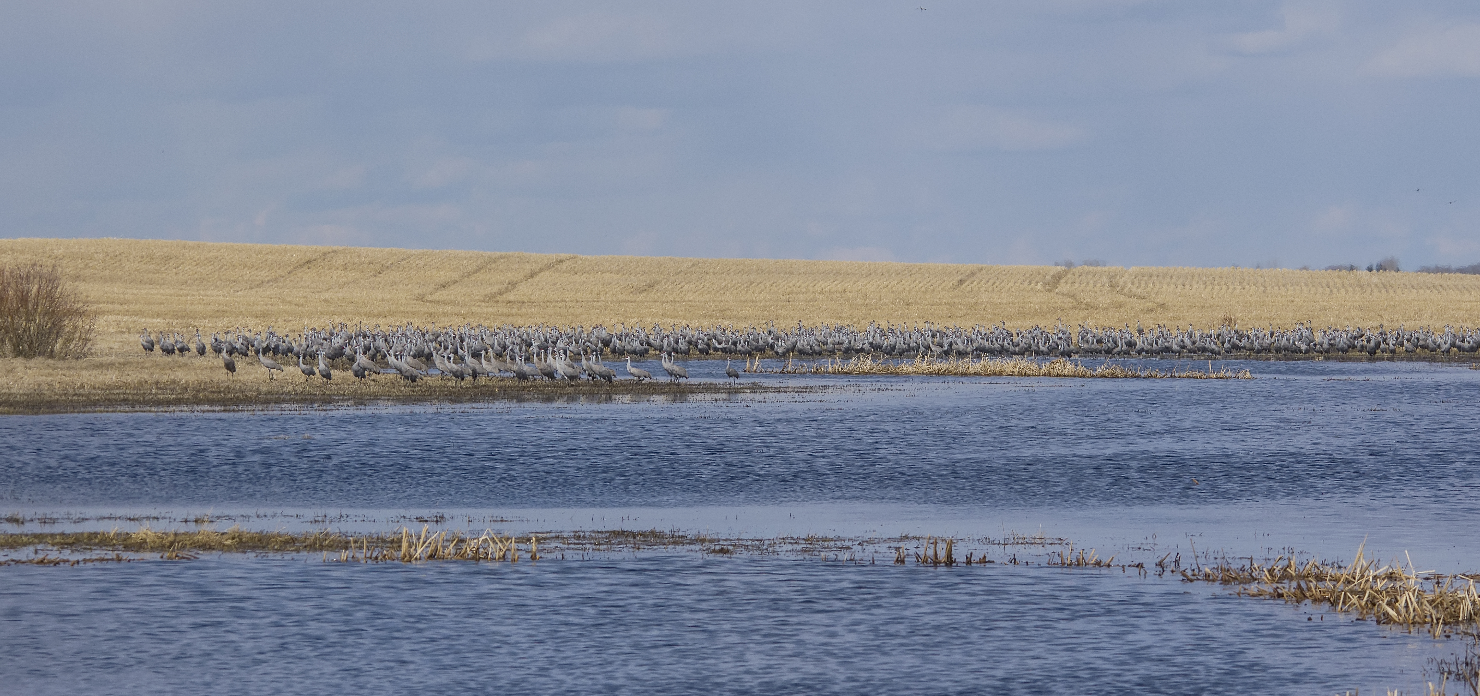
Sandhill Cranes

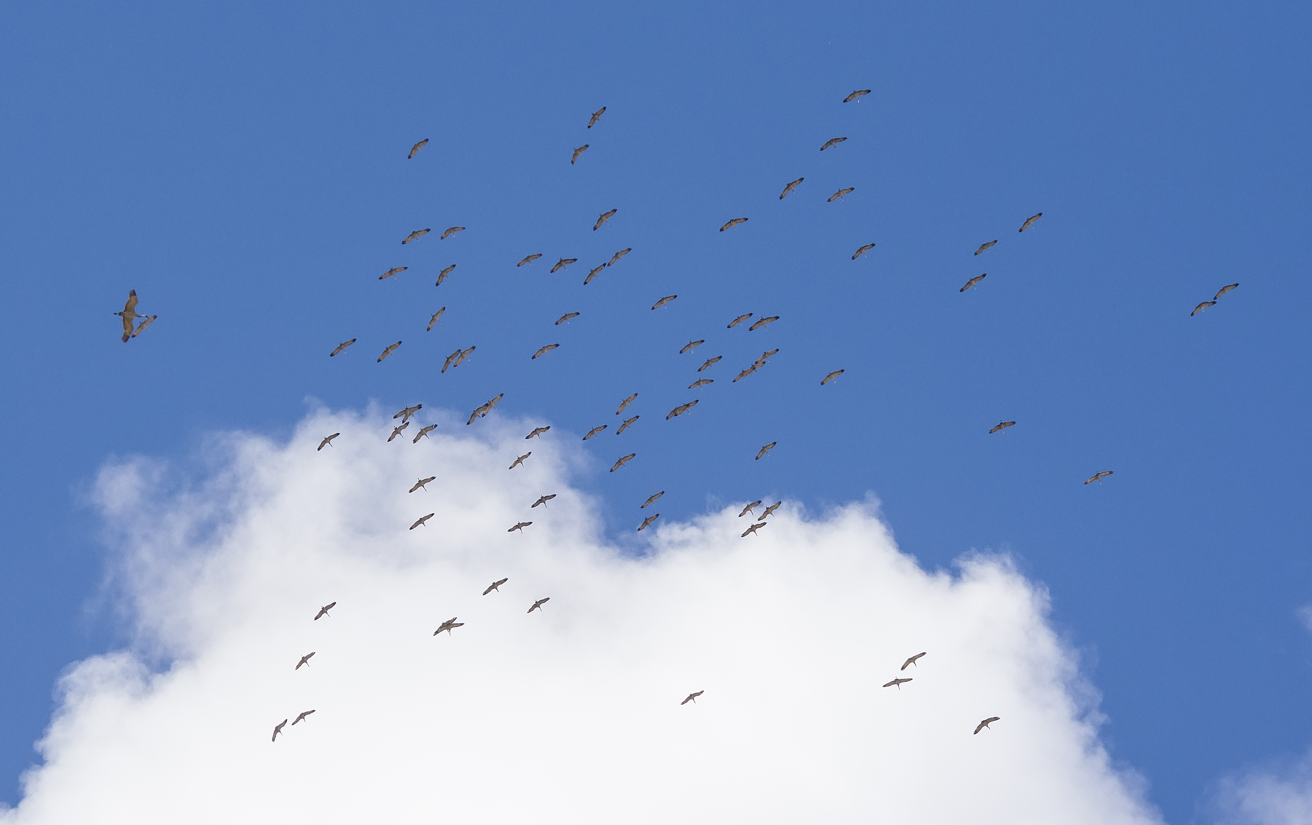
Sandhill Cranes

ATCO Electric 24.9kV & 4.8kV - Castor, AB

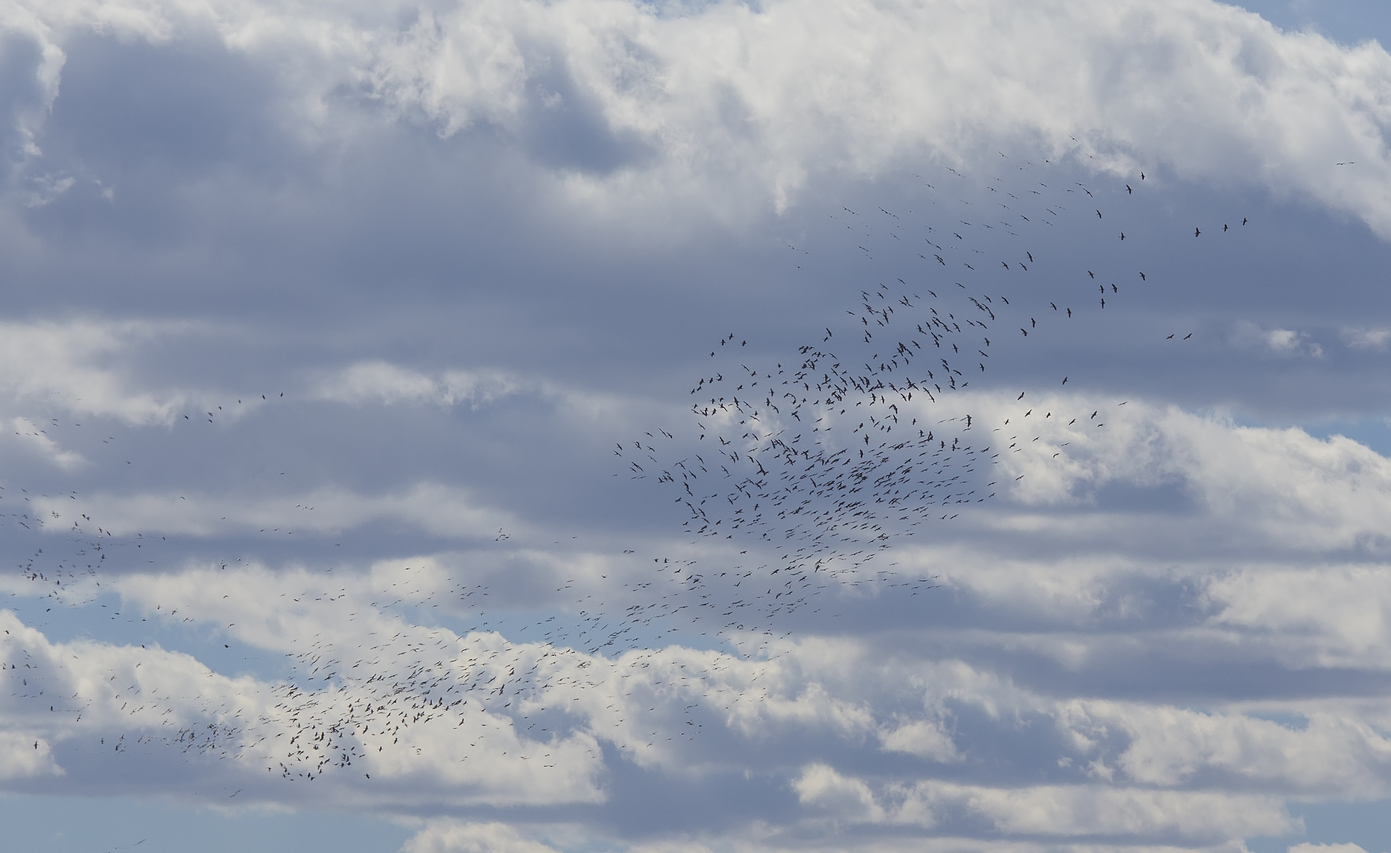
Sandhill Cranes

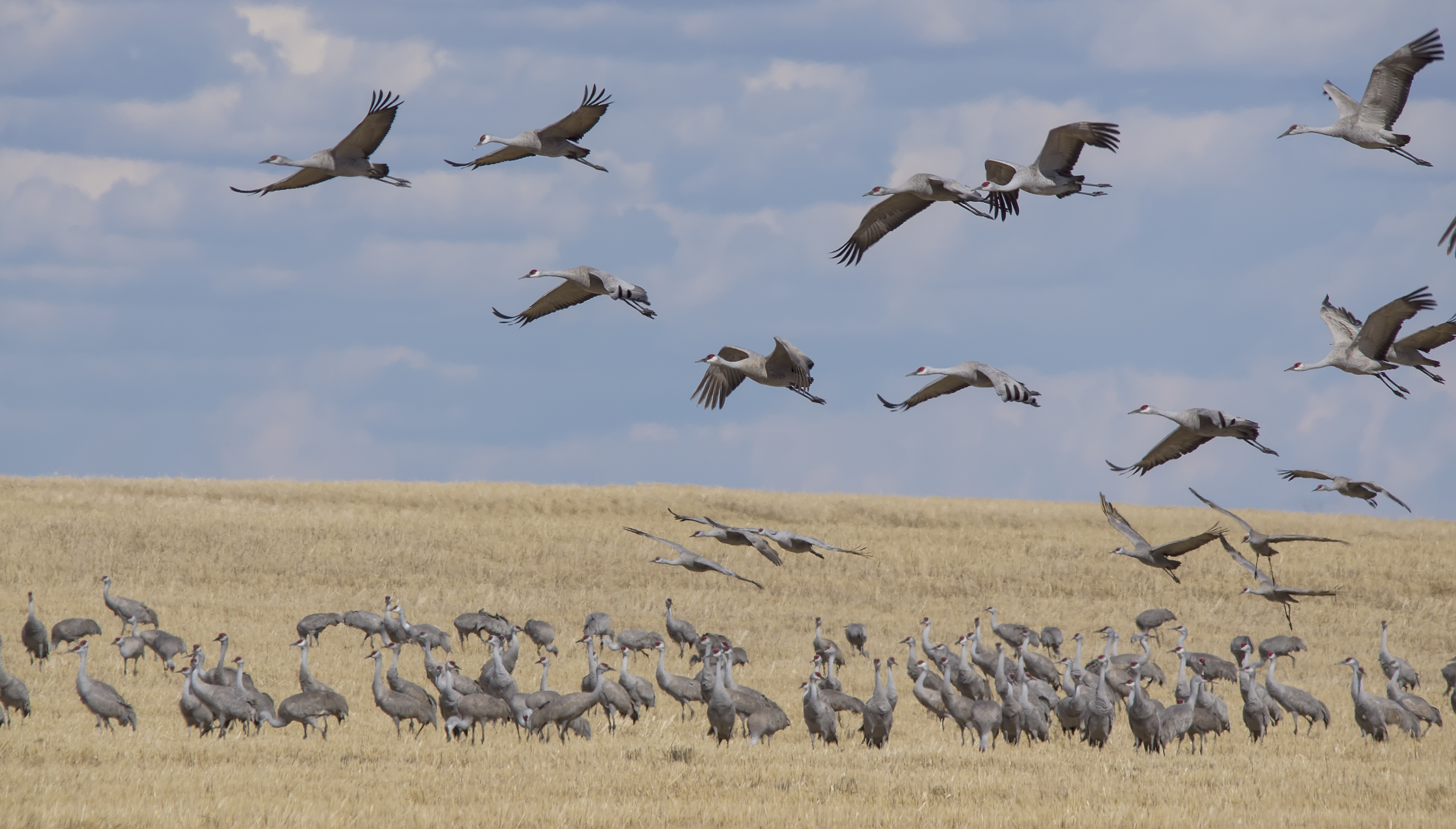
Northern Shrike
Sandhill Cranes

Sandhill Cranes

Sandhill Cranes

Sandhill Cranes

Sandhill Cranes
Sandhill Cranes

Sandhill Cranes
Sandhill Cranes

Sandhill Cranes

Sandhill Cranes

Sandhill Cranes
Sandhill Cranes
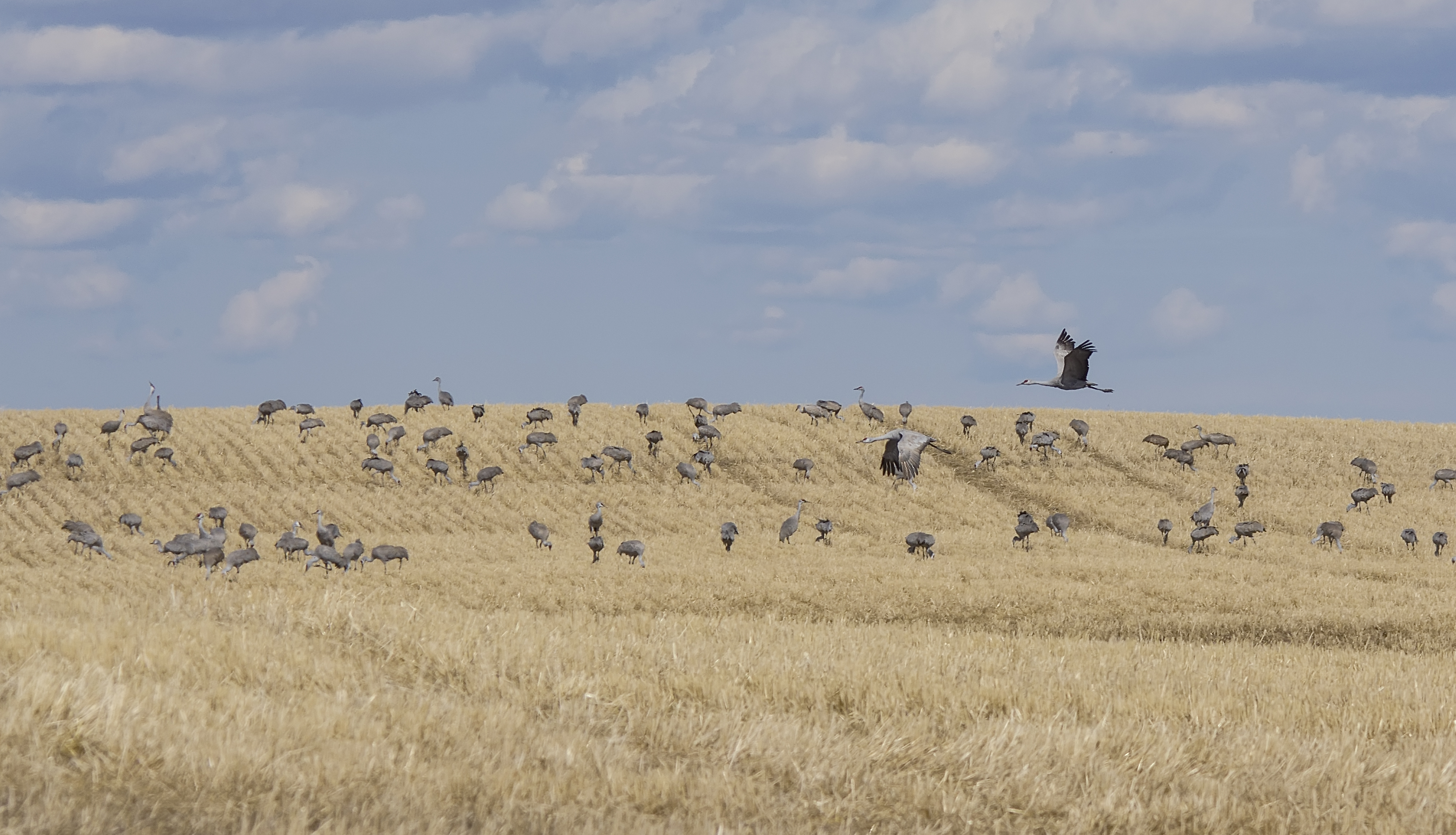
Sandhill Cranes

Sandhill Cranes

Sandhill Crane

Sandhill Crane
Topographic Map of Paintearth County No. 18, AB, Canada
Find elevation by address:

Places in Paintearth County No. 18, AB, Canada:
Places near Paintearth County No. 18, AB, Canada:
Castor
Coronation
Division No. 7
Veteran Hutterite Colony
Gadsby
2 St, Gadsby, AB T0C 1K0, Canada
Sedgewick
4902 53 St
Killam
53 St, Killam, AB T0B 2L0, Canada
Hardisty
Kinsella
Viking
Beaver County
Division No. 10
53 St, Innisfree, AB T0B 2G0, Canada
Minburn County No. 27
9 52 Ave, Ryley, AB T0B 4A0, Canada
Recent Searches:
- Elevation of Corso Fratelli Cairoli, 35, Macerata MC, Italy
- Elevation of Tallevast Rd, Sarasota, FL, USA
- Elevation of 4th St E, Sonoma, CA, USA
- Elevation of Black Hollow Rd, Pennsdale, PA, USA
- Elevation of Oakland Ave, Williamsport, PA, USA
- Elevation of Pedrógão Grande, Portugal
- Elevation of Klee Dr, Martinsburg, WV, USA
- Elevation of Via Roma, Pieranica CR, Italy
- Elevation of Tavkvetili Mountain, Georgia
- Elevation of Hartfords Bluff Cir, Mt Pleasant, SC, USA