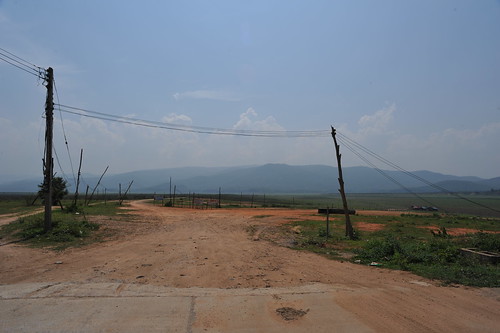
Elevation of Pai, Chiang Mai, Thailand
Location: Thailand > Chiang Mai > Hot District > Na Kho Ruea >
Longitude: 98.5909277
Latitude: 17.9918034
Elevation: -10000m / -32808feet
Barometric Pressure: 295KPa
Related Photos:
Topographic Map of Pai, Chiang Mai, Thailand
Find elevation by address:

Places near Pai, Chiang Mai, Thailand:
Na Kho Ruea
Hot District
Thoen Buri
Thoen District
Lampang Meteorological Station
Si Satchanalai District
Sop Pat
Chiang Ngoen
Muang Tak Municipal Taksin Sport Stadium
Tak
Mueang Tak District
Muang Tak District Office
Si Satchanalai
Si Satchanalai Historical Park
Ramkhamhaeng National Park
Na Choeng Khiri
Thani
Sukhothai
Recent Searches:
- Elevation of Corso Fratelli Cairoli, 35, Macerata MC, Italy
- Elevation of Tallevast Rd, Sarasota, FL, USA
- Elevation of 4th St E, Sonoma, CA, USA
- Elevation of Black Hollow Rd, Pennsdale, PA, USA
- Elevation of Oakland Ave, Williamsport, PA, USA
- Elevation of Pedrógão Grande, Portugal
- Elevation of Klee Dr, Martinsburg, WV, USA
- Elevation of Via Roma, Pieranica CR, Italy
- Elevation of Tavkvetili Mountain, Georgia
- Elevation of Hartfords Bluff Cir, Mt Pleasant, SC, USA


