Elevation of PA-, Canton, PA, USA
Location: United States > Pennsylvania > Bradford County > Leroy Township >
Longitude: -76.741716
Latitude: 41.6641931
Elevation: 319m / 1047feet
Barometric Pressure: 98KPa
Elevation Map:
Satellite Map:
Related Photos:
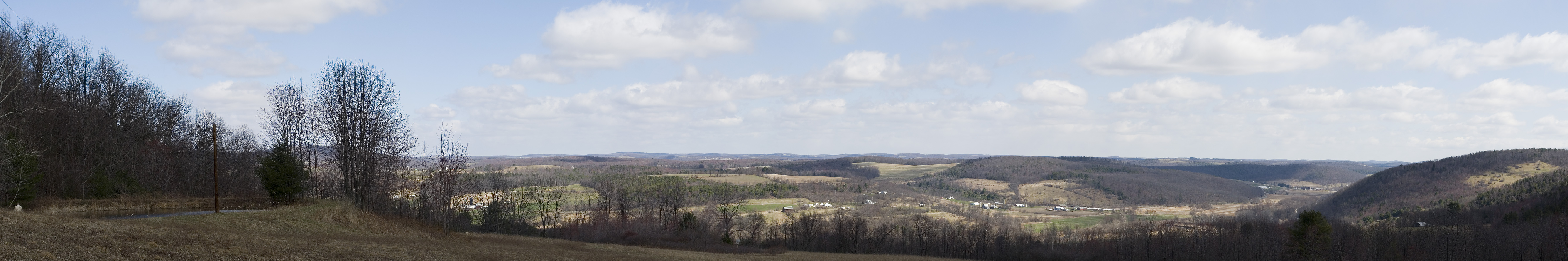
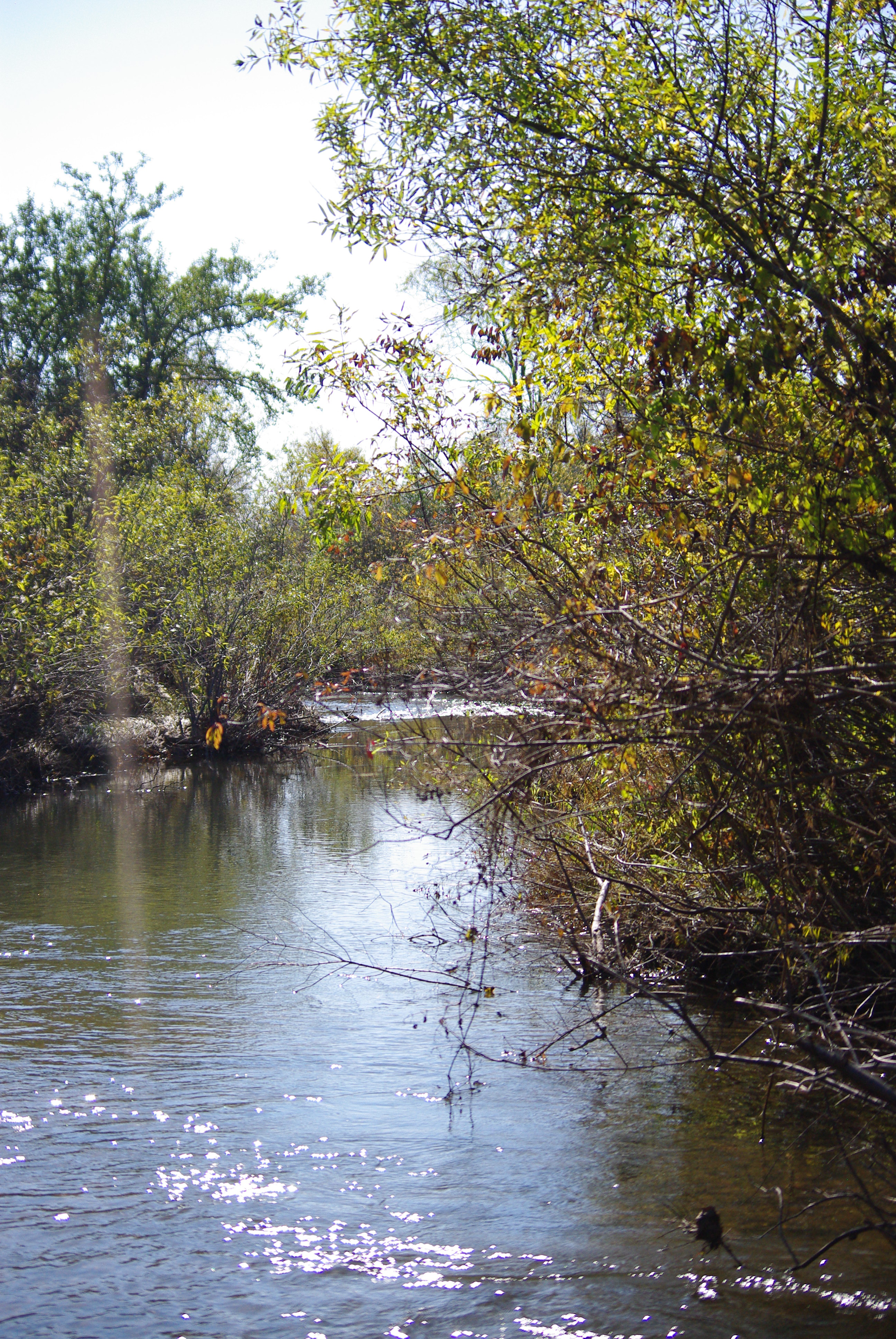
Cabin Pano
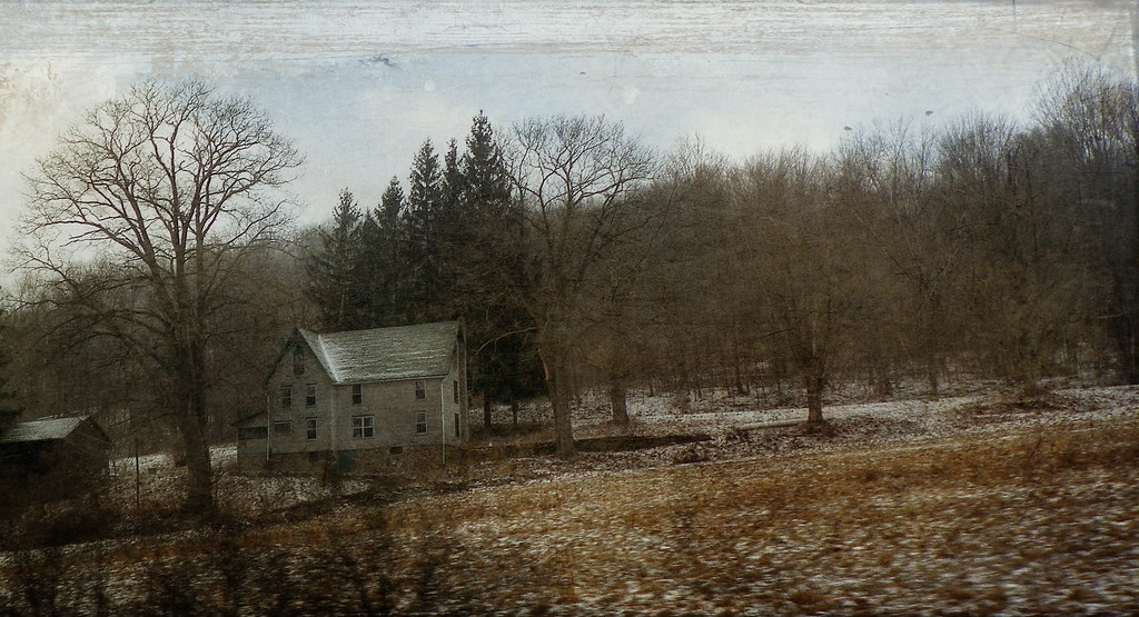
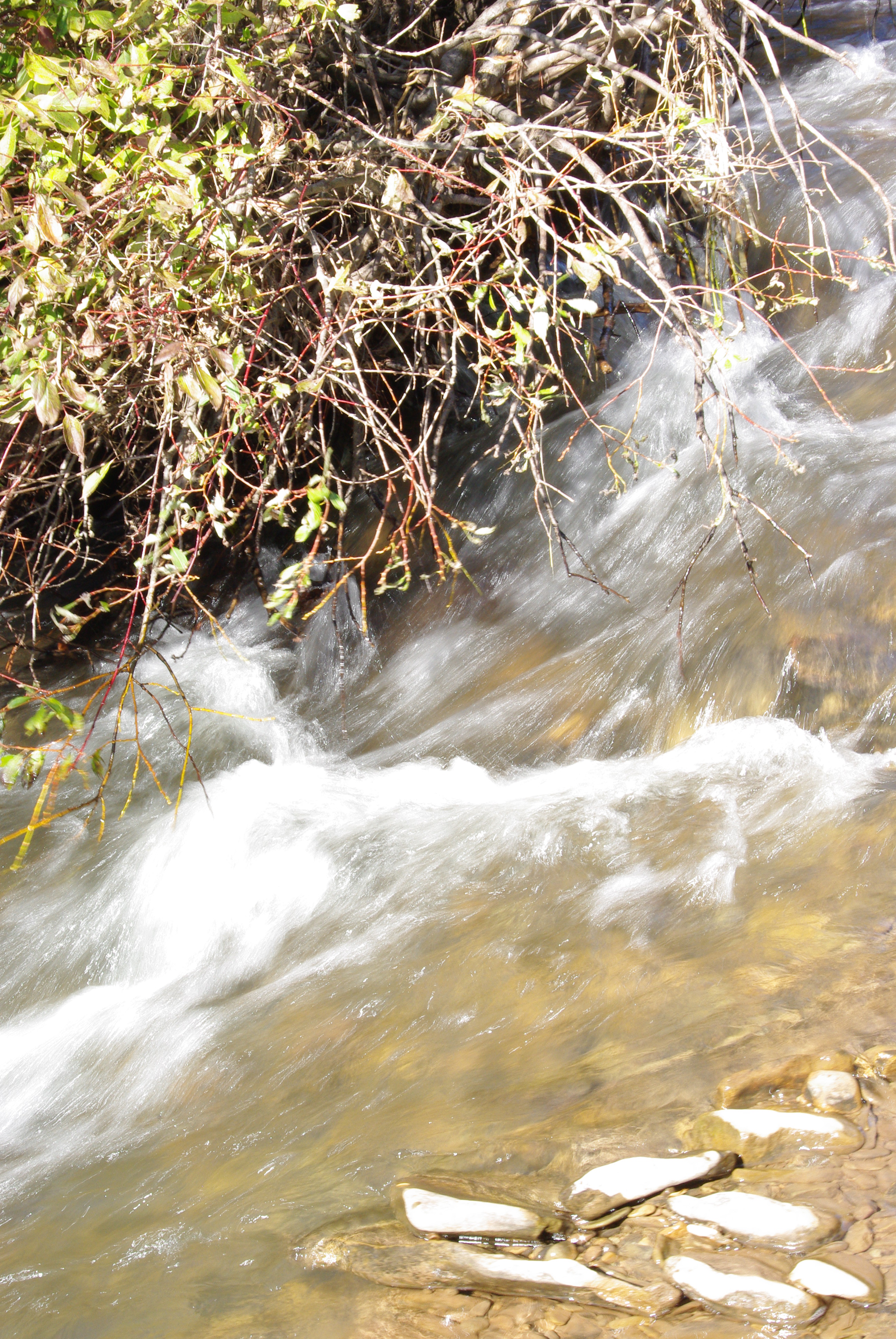
The Passage of Time
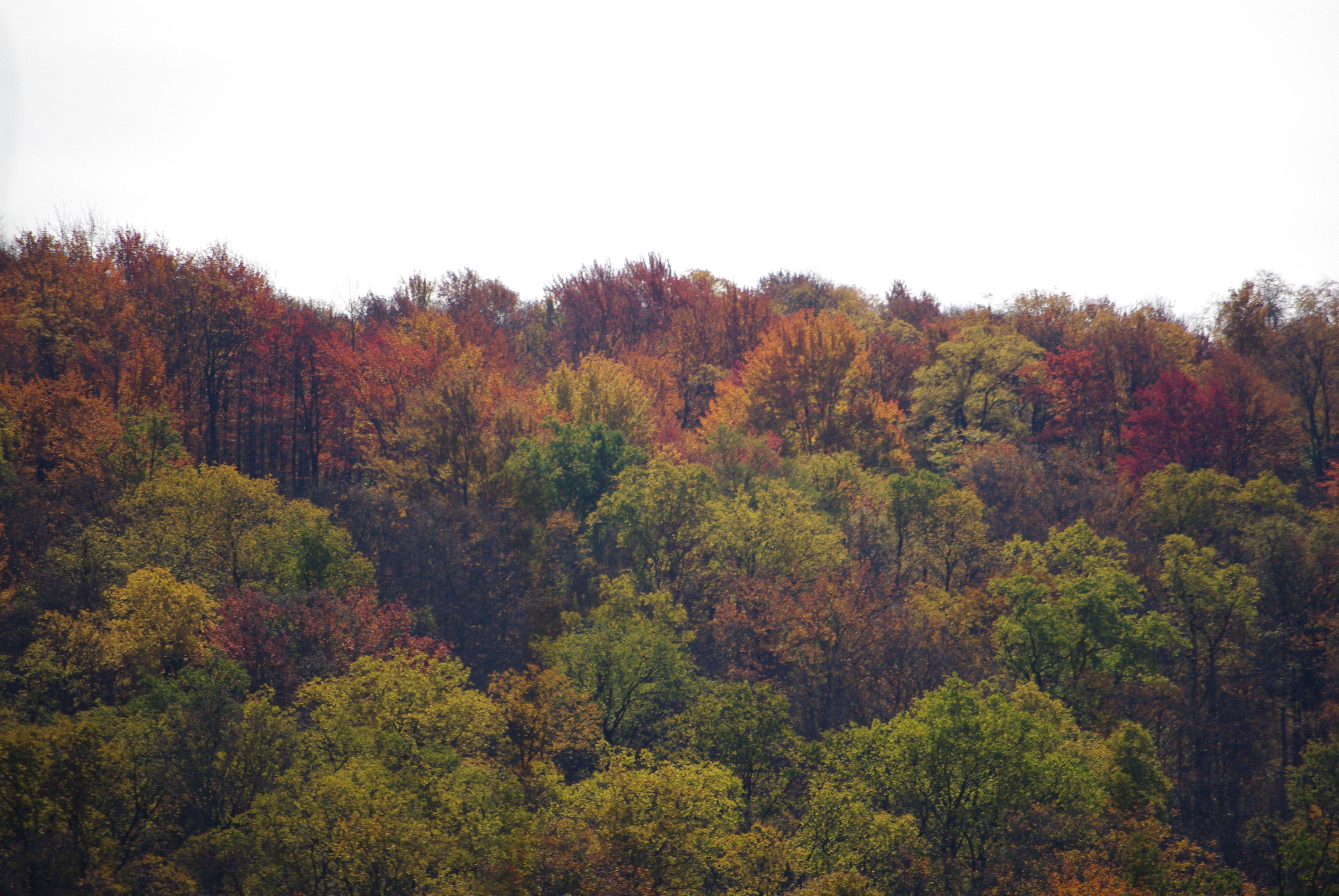
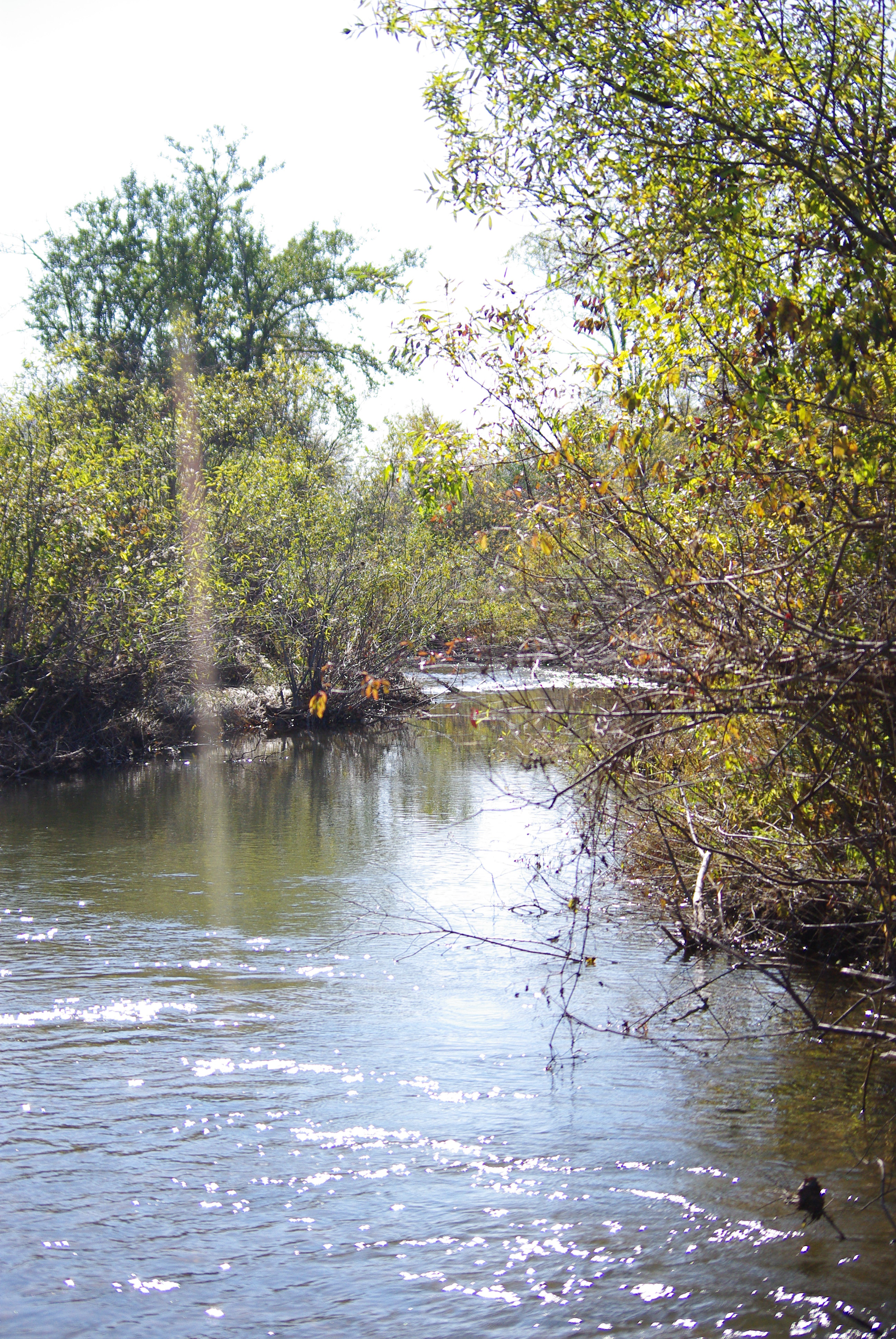
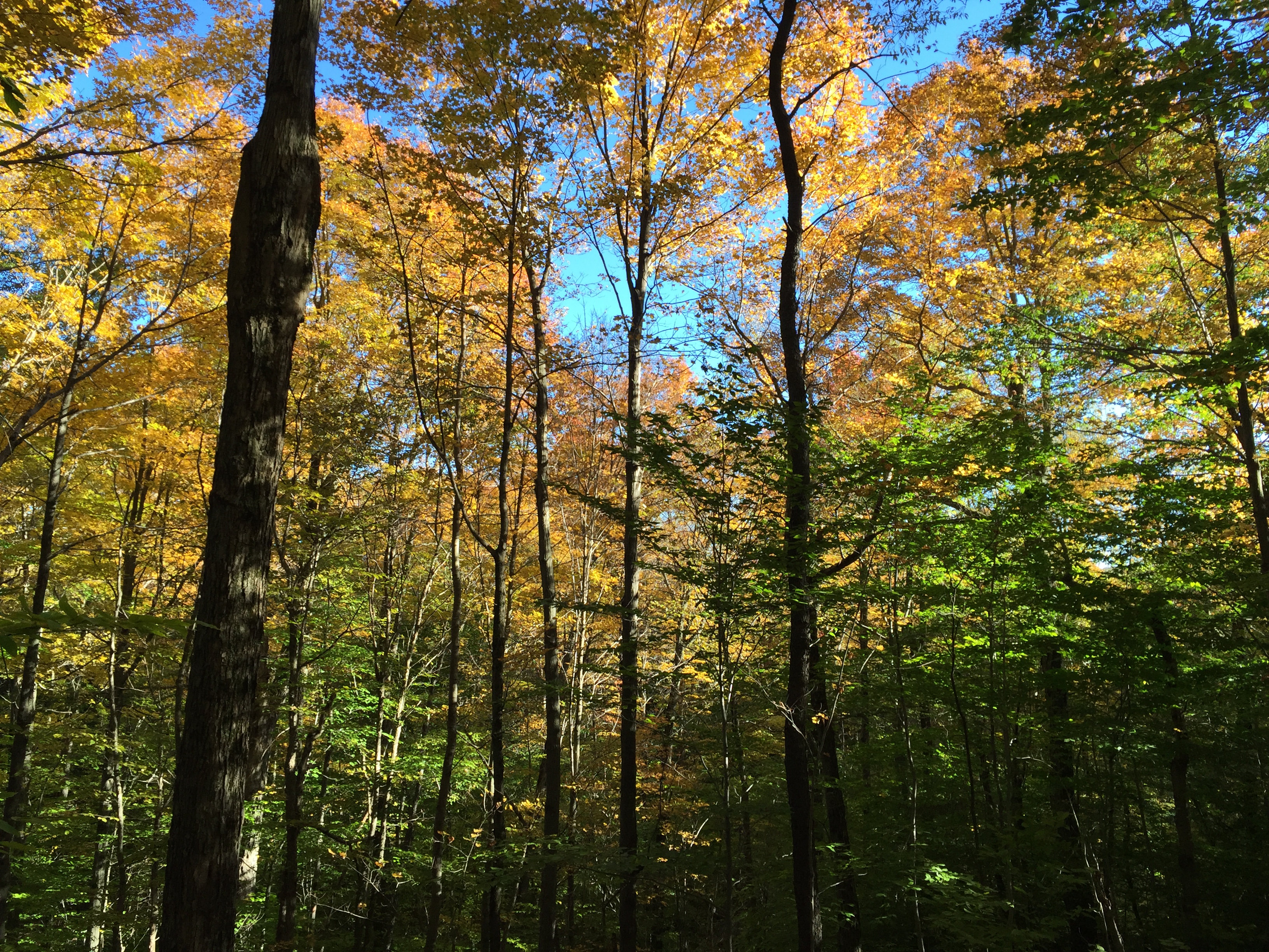
Tioga County October 2011 106
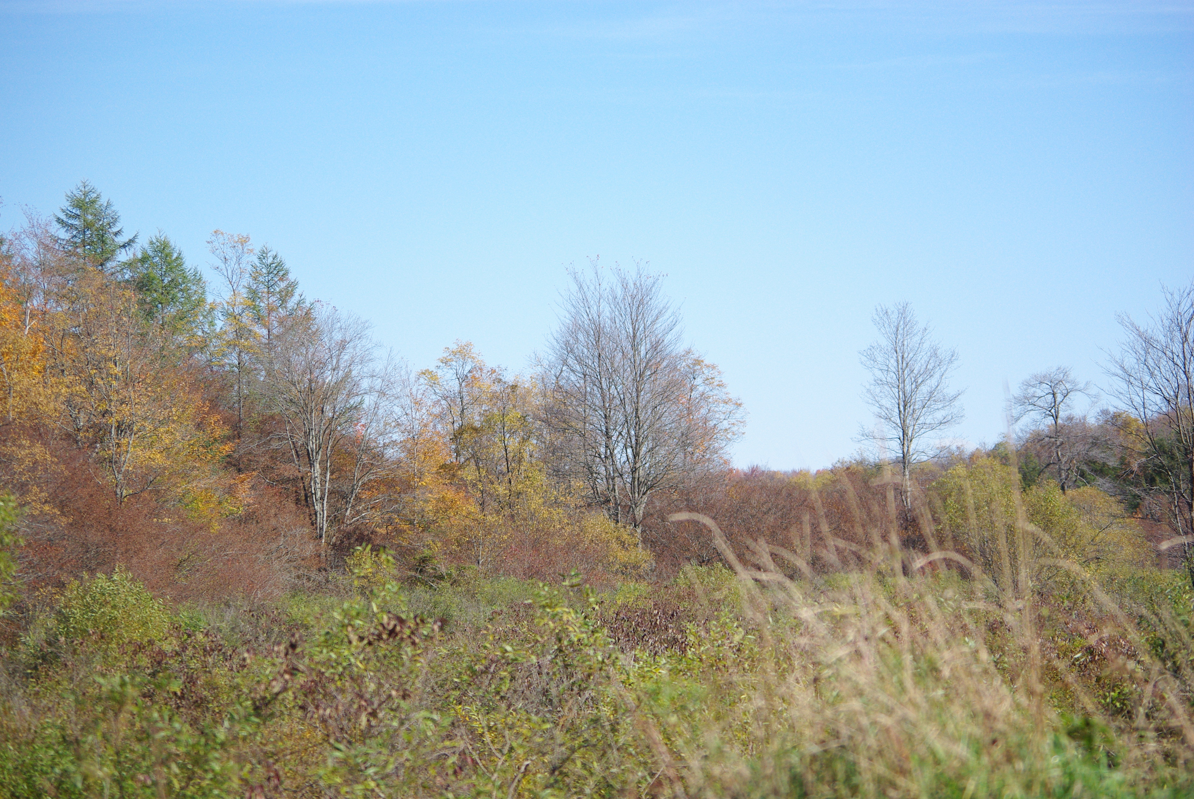
Tioga County October 2011 159
Tioga County October 2011 125
Tioga County October 2011 202
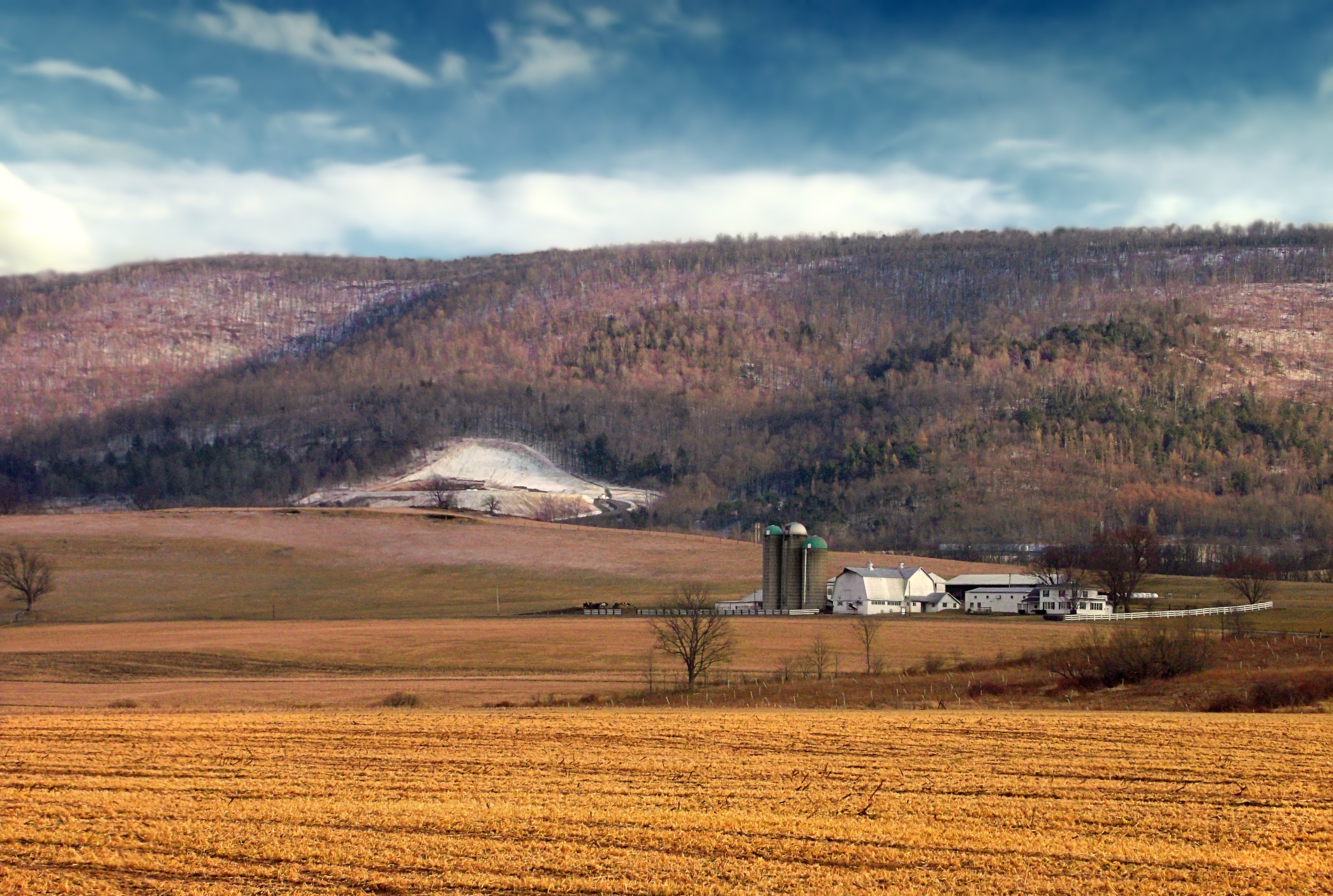
Farming Valley (1)
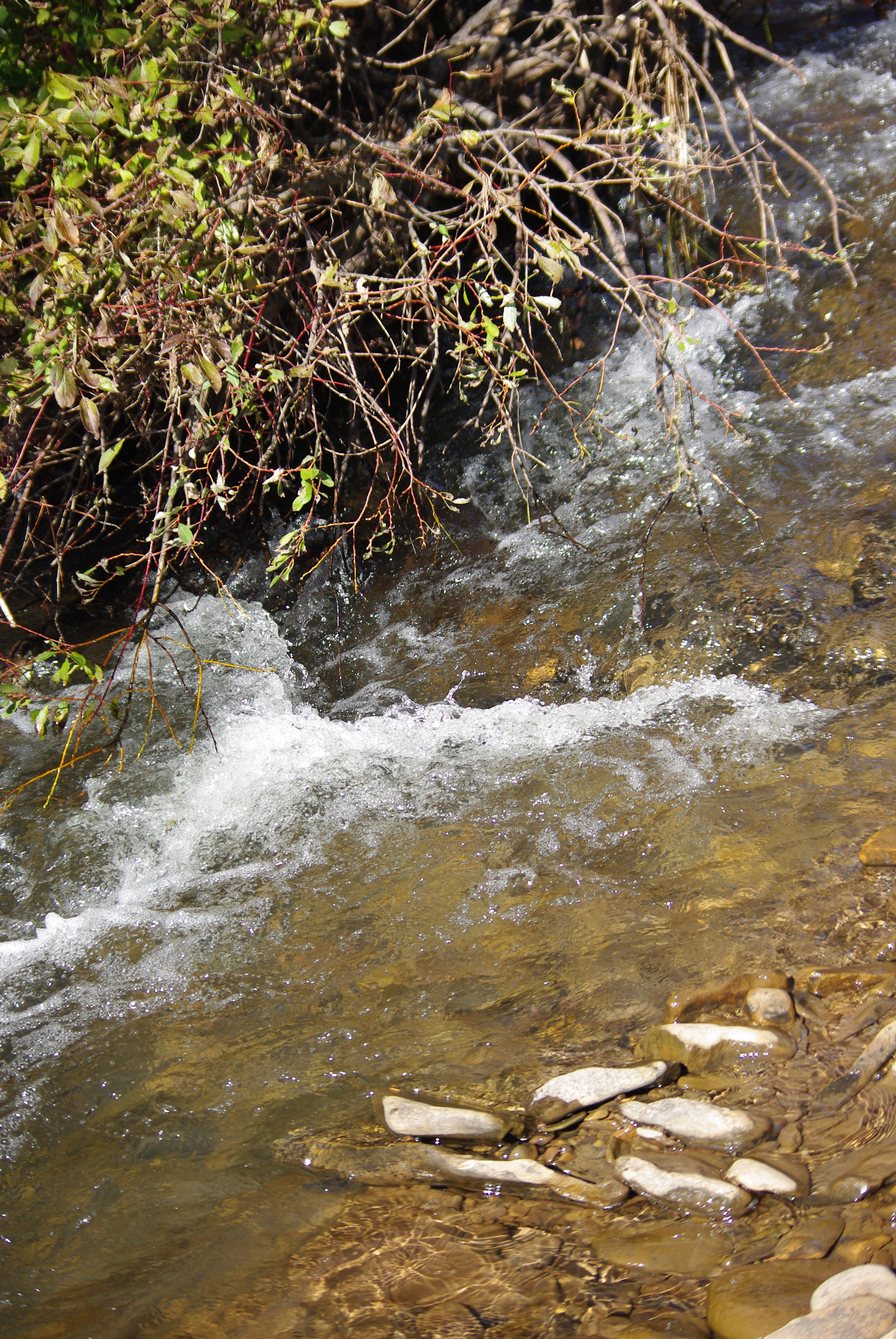
Tioga County October 2011 123

Farming Valley (2)
Tioga County October 2011 130
Tioga County October 2011 127
Tioga County October 2011 129
Tioga County October 2011 191
Tioga County October 2011 124
A Farm in Winter

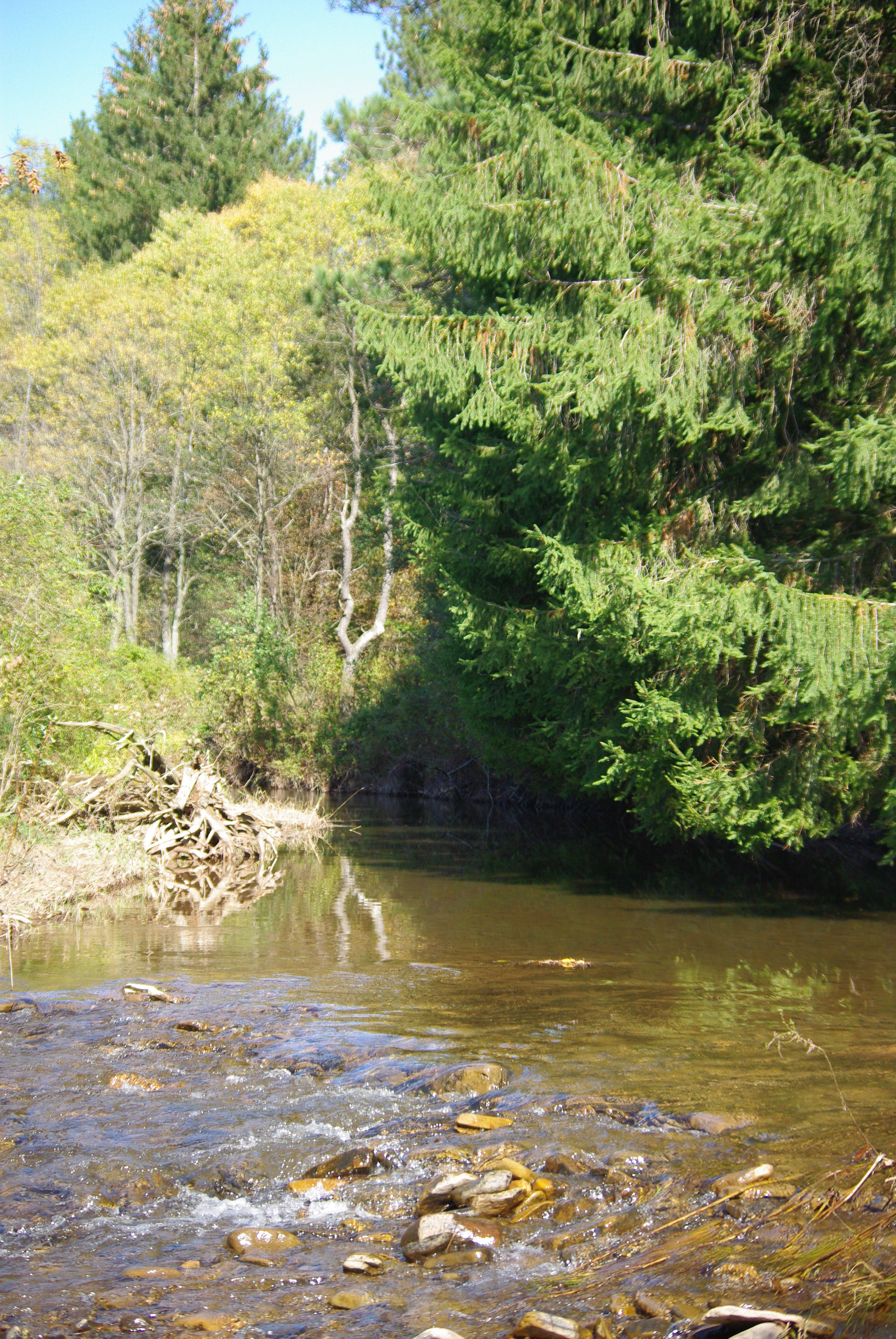
Tioga County October 2011 054
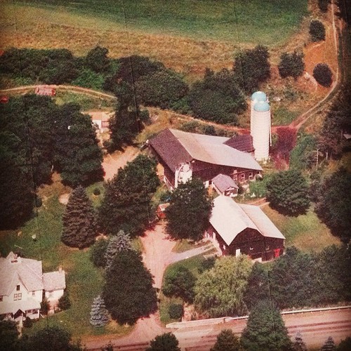
Sensinger Bra 1H with runoff and hay bales in the foreground
A Remembrance of Back Then
Canton 2015-80
My Childhood Home
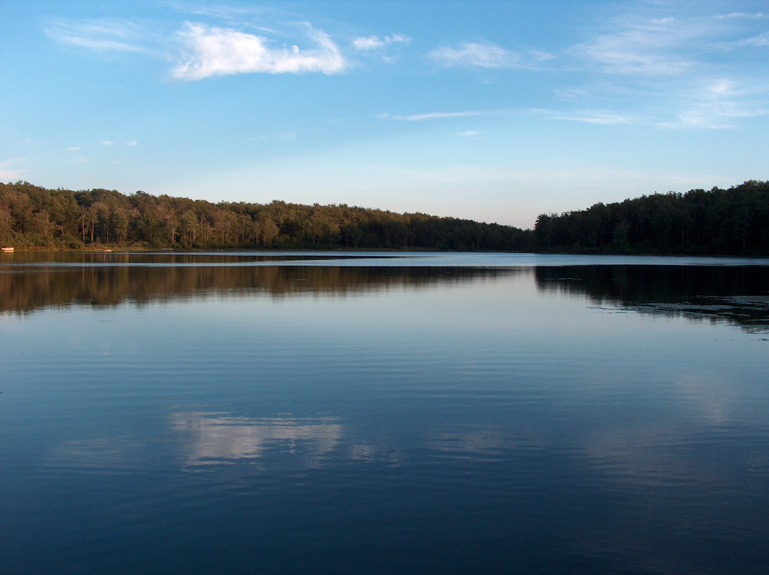
Sunfish Pond06 - The Lake
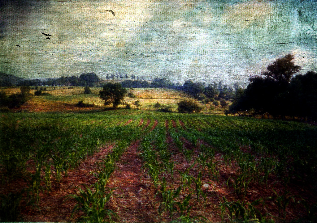
All My Memories, Neat Little Rows
Topographic Map of PA-, Canton, PA, USA
Find elevation by address:

Places near PA-, Canton, PA, USA:
Mill St, Canton, PA, USA
Leroy Township
2534 Bunyan Hill Rd
Granville Township
Windfall Rd, Granville Summit, PA, USA
Canton, PA, USA
Granville Summit
370 S Bolt Rd
3002 Pa-154
PA-, Shunk, PA, USA
Ams - Primary Care Troy
Sr, Shunk, PA, USA
85 N Minnequa Ave
First Citizens Community Bank
Troy St, Canton, PA, USA
Canton
Canton Township
Fairview Rd, Troy, PA, USA
Shunk
PA-, Granville Summit, PA, USA
Recent Searches:
- Elevation of Corso Fratelli Cairoli, 35, Macerata MC, Italy
- Elevation of Tallevast Rd, Sarasota, FL, USA
- Elevation of 4th St E, Sonoma, CA, USA
- Elevation of Black Hollow Rd, Pennsdale, PA, USA
- Elevation of Oakland Ave, Williamsport, PA, USA
- Elevation of Pedrógão Grande, Portugal
- Elevation of Klee Dr, Martinsburg, WV, USA
- Elevation of Via Roma, Pieranica CR, Italy
- Elevation of Tavkvetili Mountain, Georgia
- Elevation of Hartfords Bluff Cir, Mt Pleasant, SC, USA