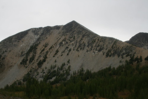
Elevation of Oval Peak, Washington, USA
Location: United States > Washington > Twisp >
Longitude: -120.42453
Latitude: 48.2870858
Elevation: 2640m / 8661feet
Barometric Pressure: 73KPa
Related Photos:
Topographic Map of Oval Peak, Washington, USA
Find elevation by address:

Places near Oval Peak, Washington, USA:
Buttermilk Ridge
Scaffold Ridge
Courtney Peak
Star Peak
Gray Peak
Spirit Mountain
Baldy Mountain
Battle Mountain
Finney Peak
Hoodoo Peak
Raven Ridge
Skookum Puss Mountain
Old Maid Mountain
Splawn Mountain
Midnight Mountain
Moore Mountain
Vie Mountain
Ferry Peak
Uno Peak
Boulder Butte
Recent Searches:
- Elevation of Corso Fratelli Cairoli, 35, Macerata MC, Italy
- Elevation of Tallevast Rd, Sarasota, FL, USA
- Elevation of 4th St E, Sonoma, CA, USA
- Elevation of Black Hollow Rd, Pennsdale, PA, USA
- Elevation of Oakland Ave, Williamsport, PA, USA
- Elevation of Pedrógão Grande, Portugal
- Elevation of Klee Dr, Martinsburg, WV, USA
- Elevation of Via Roma, Pieranica CR, Italy
- Elevation of Tavkvetili Mountain, Georgia
- Elevation of Hartfords Bluff Cir, Mt Pleasant, SC, USA
