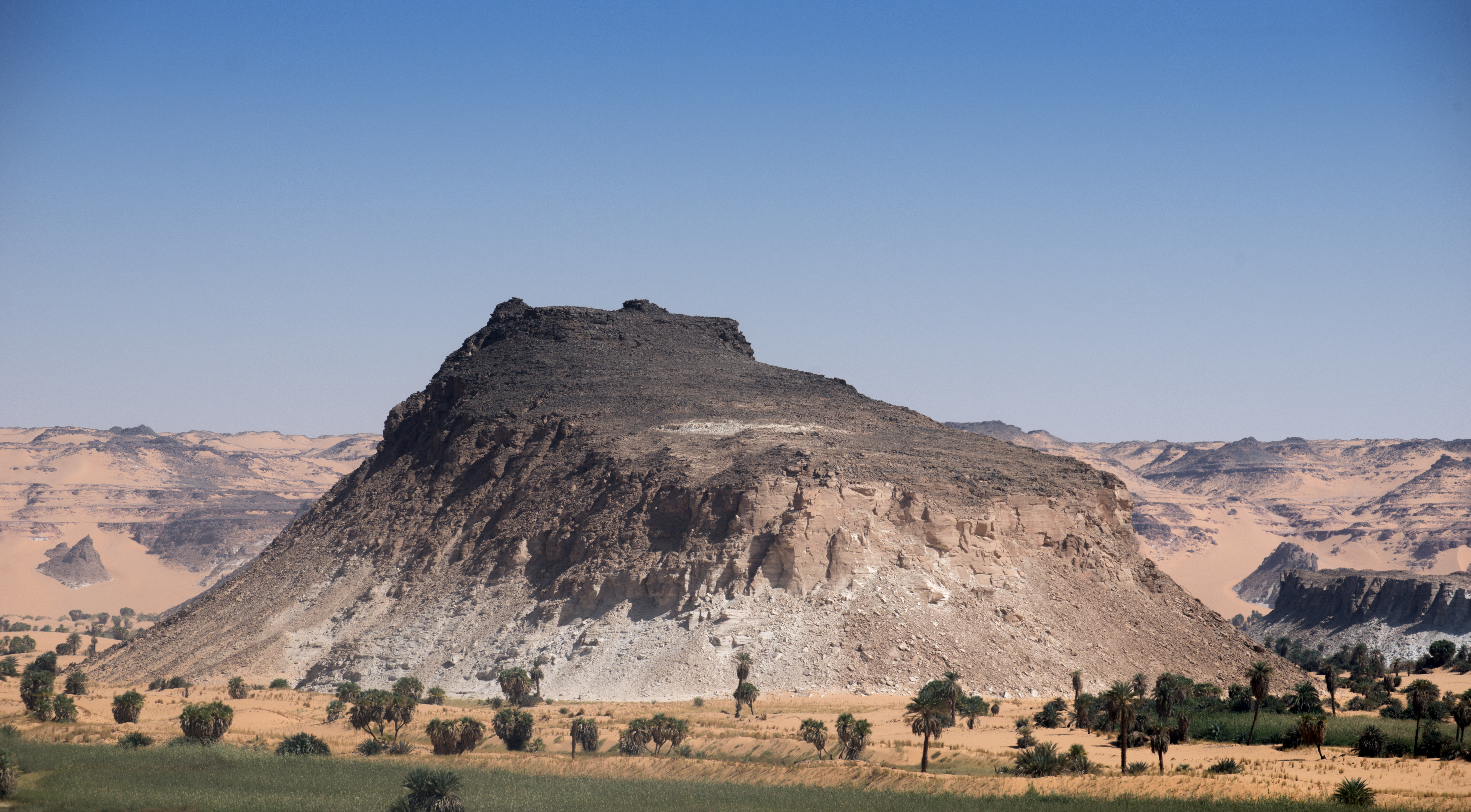
Elevation of Ounianga Kebir, Chad
Location: Chad > Borkou >
Longitude: 20.4932417
Latitude: 19.0598961
Elevation: 399m / 1309feet
Barometric Pressure: 97KPa
Elevation Map:
Satellite Map:
Related Photos:

Oasis - Ounianga Serir

Lake marl rock formation - Ennedi
Landscape at Ounianga Serir

Lake Ounianga Serir

Lake Ounianga Serir

The desert lake - Ouinanga Kebir

Lake Ounianga Serir

The desert lake - Ouinanga Kebir

Ounianga Kebir. Lago Yoa

Lake Ouinanga Kebir - a World Heritage site

Ounianga Kebir. Lago Yoa

Sandstone rocks - Ennedi region

Chad 2016 - The Desert -109FL.jpg

Sandstone rocks - Ennedi region

Driving in the Ennedi Region

Lake marl rock formation - Ennedi

Ounianga Kebir. Lago Yoa

Ounianga Kebir. El lago Yoa y la barrera de arena

Ounianga Kebir. El fuarte, al borde del acantilado sobre el lago Yoa

Ounianga Kebir. El fuarte, al borde del acantilado sobre el lago Yoa

The desert Lake Ouinanga Kebir
Topographic Map of Ounianga Kebir, Chad
Find elevation by address:

Recent Searches:
- Elevation of Corso Fratelli Cairoli, 35, Macerata MC, Italy
- Elevation of Tallevast Rd, Sarasota, FL, USA
- Elevation of 4th St E, Sonoma, CA, USA
- Elevation of Black Hollow Rd, Pennsdale, PA, USA
- Elevation of Oakland Ave, Williamsport, PA, USA
- Elevation of Pedrógão Grande, Portugal
- Elevation of Klee Dr, Martinsburg, WV, USA
- Elevation of Via Roma, Pieranica CR, Italy
- Elevation of Tavkvetili Mountain, Georgia
- Elevation of Hartfords Bluff Cir, Mt Pleasant, SC, USA