Elevation of Oughtibridge, Sheffield, UK
Location: United Kingdom > England > South Yorkshire >
Longitude: -1.538494
Latitude: 53.434881
Elevation: 98m / 322feet
Barometric Pressure: 100KPa
Elevation Map:
Satellite Map:
Related Photos:
Cranberry clough.

Autumn Millstones

Upper Derwent Moors

View from Higger Tor

Crook Hill Panorama
Stanage Edge
After the Rain

Back Tor....

Surprise View

A turd behind every tree

Edale Panorama
View from Stanage

A room with a view

A touch of fence

Bamford Edge

August on the Moors

Rain over Gleadless

Peak view

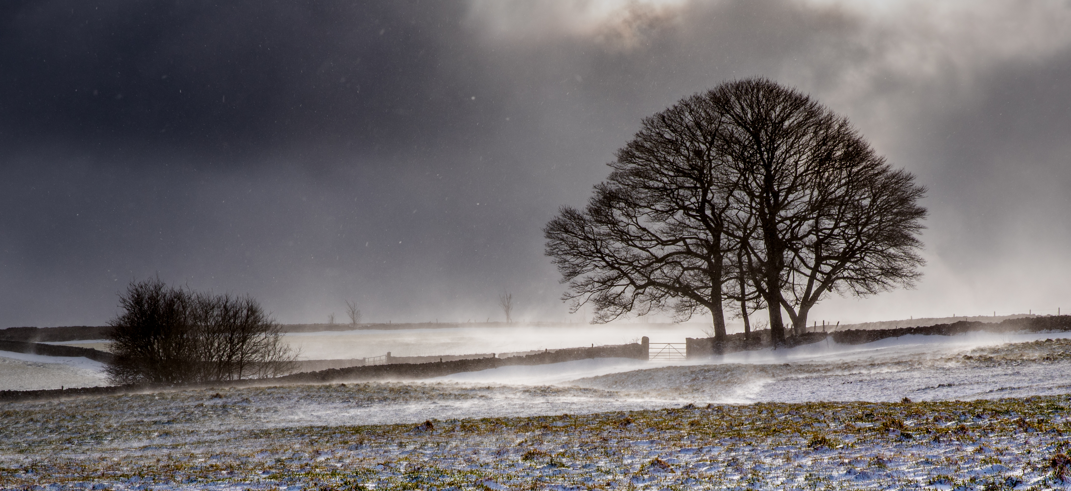
Ice and Fire

Padley Gorge

Edale Panorama

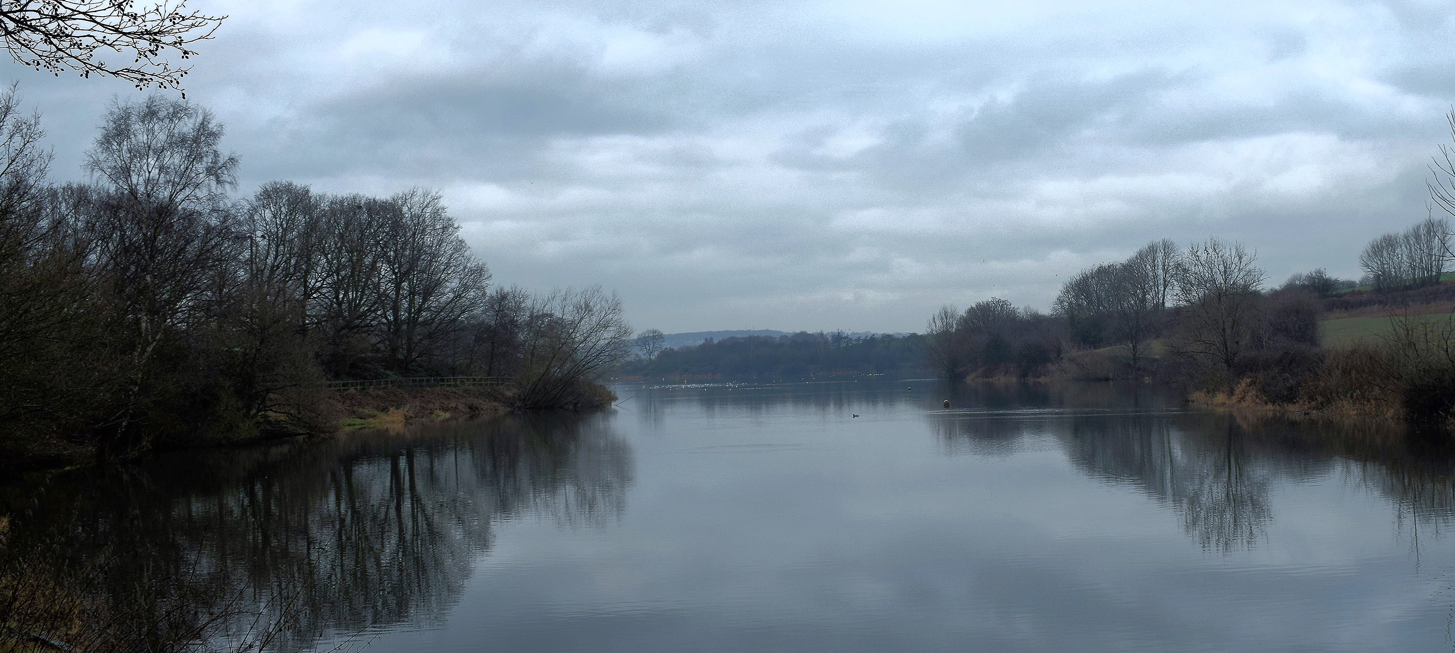
The River Don.

Margery stones.

100 Peak tops...No 22...Whinstone lee tor.
Ulley country park.

Don't look down...
Sunshine and Spindrift

Above Hathersage

View from Higger Tor

River Derwent

The End of Autumn

Ladybower Reflections

Kestrel over the moors

Over Owler Tor

100 Peak tops..No 5...Stanage edge.

Four Seasons

Late Light
Topographic Map of Oughtibridge, Sheffield, UK
Find elevation by address:

Places near Oughtibridge, Sheffield, UK:
Loxley
S6 1fe
Sheffield District
Stannington
Stannington Rd, Sheffield S6 6AF, UK
3 Dykes Ln
232-236
S6 6da
Linnet Way
Bole Hill Road
Salisbury Court
River Rivelin
S10 5nr
14 Burnt Stones Dr
S10 1sr
Crookes
S10 5sj
469 Springvale Rd
S10 1lq
Sandygate Road
Recent Searches:
- Elevation of Corso Fratelli Cairoli, 35, Macerata MC, Italy
- Elevation of Tallevast Rd, Sarasota, FL, USA
- Elevation of 4th St E, Sonoma, CA, USA
- Elevation of Black Hollow Rd, Pennsdale, PA, USA
- Elevation of Oakland Ave, Williamsport, PA, USA
- Elevation of Pedrógão Grande, Portugal
- Elevation of Klee Dr, Martinsburg, WV, USA
- Elevation of Via Roma, Pieranica CR, Italy
- Elevation of Tavkvetili Mountain, Georgia
- Elevation of Hartfords Bluff Cir, Mt Pleasant, SC, USA