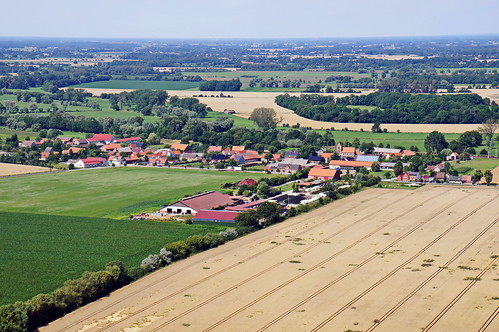
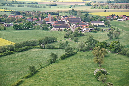
Elevation of Osterburg (Altmark), Germany
Location: Germany > Saxony-anhalt >
Longitude: 11.7223312
Latitude: 52.7890715
Elevation: 23m / 75feet
Barometric Pressure: 101KPa
Related Photos:
Topographic Map of Osterburg (Altmark), Germany
Find elevation by address:

Places in Osterburg (Altmark), Germany:
Places near Osterburg (Altmark), Germany:
Zedau
Hauptstraße 31, Osterburg (Altmark), Germany
Berken 2, Osterburg (Altmark), Germany
Grävenitz
Rochau
Meseberg
Schartau
Dorfstraße 29, Rochau, Germany
Dorfstraße 14, Schorstedt, Germany
Hansestadt Seehausen (altmark)
Schorstedt
Klosterschulpl. 4, Hansestadt Seehausen (Altmark), Germany
Dorfstraße 16, Grassau, Germany
Grassau
Altmärkische Höhe
Dobberkau
Unterstraße 8, Dobberkau, Germany
Späningen
Dorfstraße 44, Altmärkische Höhe, Germany
10b
Recent Searches:
- Elevation of Corso Fratelli Cairoli, 35, Macerata MC, Italy
- Elevation of Tallevast Rd, Sarasota, FL, USA
- Elevation of 4th St E, Sonoma, CA, USA
- Elevation of Black Hollow Rd, Pennsdale, PA, USA
- Elevation of Oakland Ave, Williamsport, PA, USA
- Elevation of Pedrógão Grande, Portugal
- Elevation of Klee Dr, Martinsburg, WV, USA
- Elevation of Via Roma, Pieranica CR, Italy
- Elevation of Tavkvetili Mountain, Georgia
- Elevation of Hartfords Bluff Cir, Mt Pleasant, SC, USA
