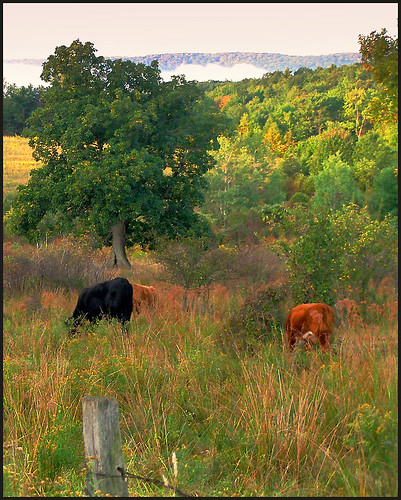
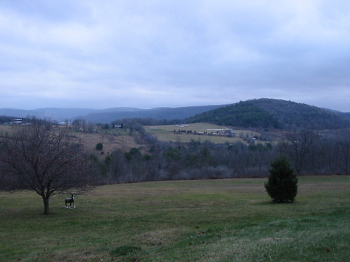
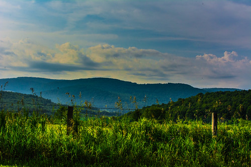
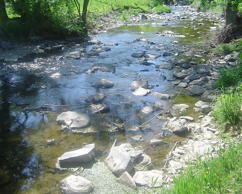
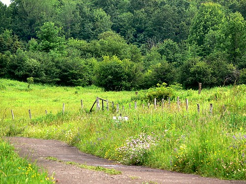
Elevation of Osmanli Dergah, Wheat Hill Rd, Sidney Center, NY, USA
Location: United States > New York > Delaware County > Sidney > Sidney Center >
Longitude: -75.236888
Latitude: 42.3188354
Elevation: 487m / 1598feet
Barometric Pressure: 96KPa
Related Photos:
Topographic Map of Osmanli Dergah, Wheat Hill Rd, Sidney Center, NY, USA
Find elevation by address:

Places near Osmanli Dergah, Wheat Hill Rd, Sidney Center, NY, USA:
Woodland Road
69 Jay St
Sidney Center
25 Vandervort Hill Rd
Sidney
4615 Masonville-sidney Center Rd
New York 7 & Butternut Road
Unadilla
29 Watson St
Unadilla Diner
Main Street
Rd 13, Unadilla, NY, USA
14235 Co Rd 23
Co Rd 27, Sidney Center, NY, USA
Unadilla
1004 Ny-7
1660 Pine Swamp Rd
Ingalls Road
Co Rd 23, Unadilla, NY, USA
2-16 Cuyle Rd
Recent Searches:
- Elevation of Corso Fratelli Cairoli, 35, Macerata MC, Italy
- Elevation of Tallevast Rd, Sarasota, FL, USA
- Elevation of 4th St E, Sonoma, CA, USA
- Elevation of Black Hollow Rd, Pennsdale, PA, USA
- Elevation of Oakland Ave, Williamsport, PA, USA
- Elevation of Pedrógão Grande, Portugal
- Elevation of Klee Dr, Martinsburg, WV, USA
- Elevation of Via Roma, Pieranica CR, Italy
- Elevation of Tavkvetili Mountain, Georgia
- Elevation of Hartfords Bluff Cir, Mt Pleasant, SC, USA


