Elevation of Osborne Rd, Lockeport, NS B0T 1L0, Canada
Location: Canada > Nova Scotia > Shelburne County > Shelburne >
Longitude: -65.109546
Latitude: 43.719784
Elevation: 20m / 66feet
Barometric Pressure: 101KPa
Elevation Map:
Satellite Map:
Related Photos:
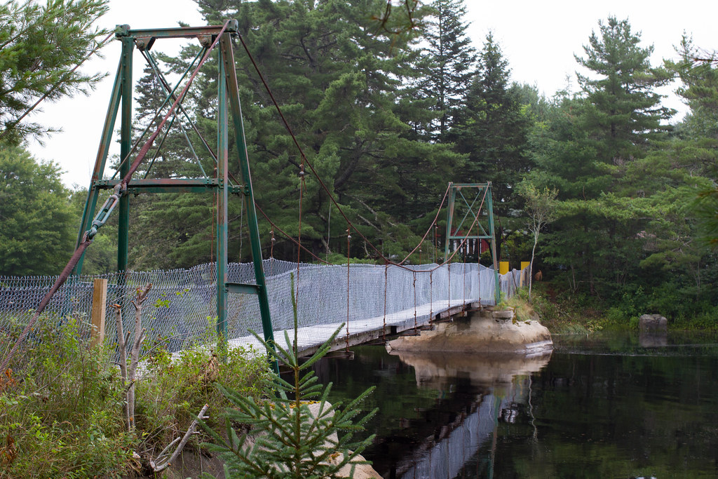
Full View Of Swinging Bridge
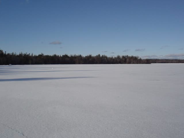
Lake George Property

FullSizeRender 45
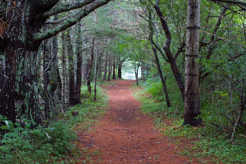
Peaceful Trail heading Back To Car

Rockin Robin - Lockeport, Nova Scotia
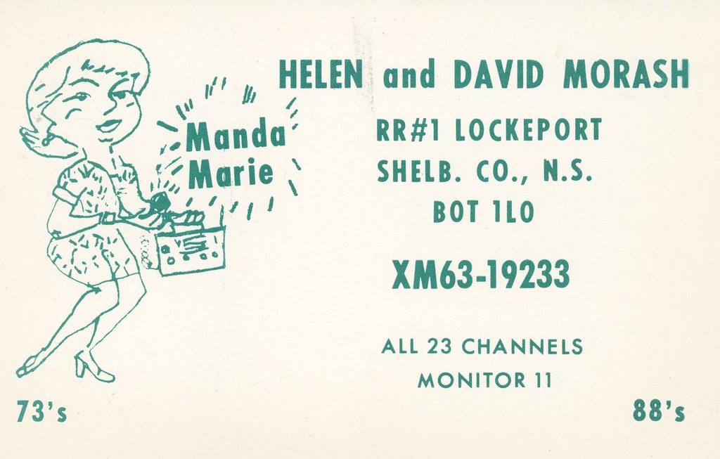
Manda Marie - Lockeport, Nova Scotia

_3010065-Edit

_3010068-Edit
Topographic Map of Osborne Rd, Lockeport, NS B0T 1L0, Canada
Find elevation by address:

Places near Osborne Rd, Lockeport, NS B0T 1L0, Canada:
Lockeport
189 Brighton Rd
177 Brighton Rd
West Head Road
West Head Road
139 Hammond Rd
Jordan Bay
Lower Jordan Bay
Sandy Point Rd, Shelburne, NS B0T 1W0, Canada
2384 Sandy Point Rd
Sandy Point Road
133 Elliot St
42 Thomas St
1231 Sandy Point Rd
Sandy Point Recreation Centre
Shelburne
15 Fire Hall Rd, Shelburne, NS B0T 1W0, Canada
61 Roseway Ln, Shelburne, NS B0T 1W0, Canada
Shore Rd, Shelburne, NS B0T 1W0, Canada
Recent Searches:
- Elevation of Corso Fratelli Cairoli, 35, Macerata MC, Italy
- Elevation of Tallevast Rd, Sarasota, FL, USA
- Elevation of 4th St E, Sonoma, CA, USA
- Elevation of Black Hollow Rd, Pennsdale, PA, USA
- Elevation of Oakland Ave, Williamsport, PA, USA
- Elevation of Pedrógão Grande, Portugal
- Elevation of Klee Dr, Martinsburg, WV, USA
- Elevation of Via Roma, Pieranica CR, Italy
- Elevation of Tavkvetili Mountain, Georgia
- Elevation of Hartfords Bluff Cir, Mt Pleasant, SC, USA