Elevation of Orford, NH, USA
Location: United States > New Hampshire > Grafton County >
Longitude: -72.141721
Latitude: 43.9014167
Elevation: 126m / 413feet
Barometric Pressure: 100KPa
Elevation Map:
Satellite Map:
Related Photos:
Views From the Green
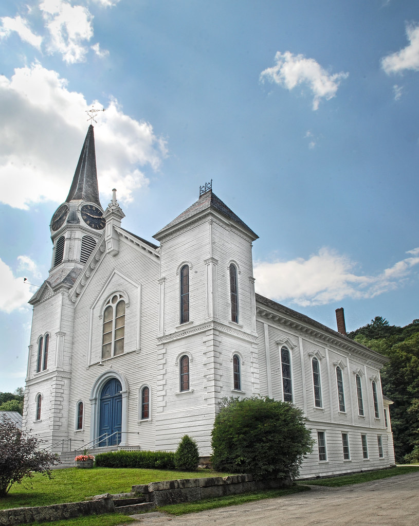
Congregational Church of Bradford, Vermont

Views From the Green, 3/9/15

Views From the Green

Rough-legged Hawk --- record shot

Thetford Center Bird's Eye View

North Thetford - Flood of 1936

Goddard Hall

North Thetford Bridge from Lyme

Bird's Eye View from Lyme

North Thetford, Looking Southeast

Great Crested Flycatcher digiscoped

Peabody Library and Lake Street

CCC Camp

Thetford Center Covered Bridge and Mill Buildings

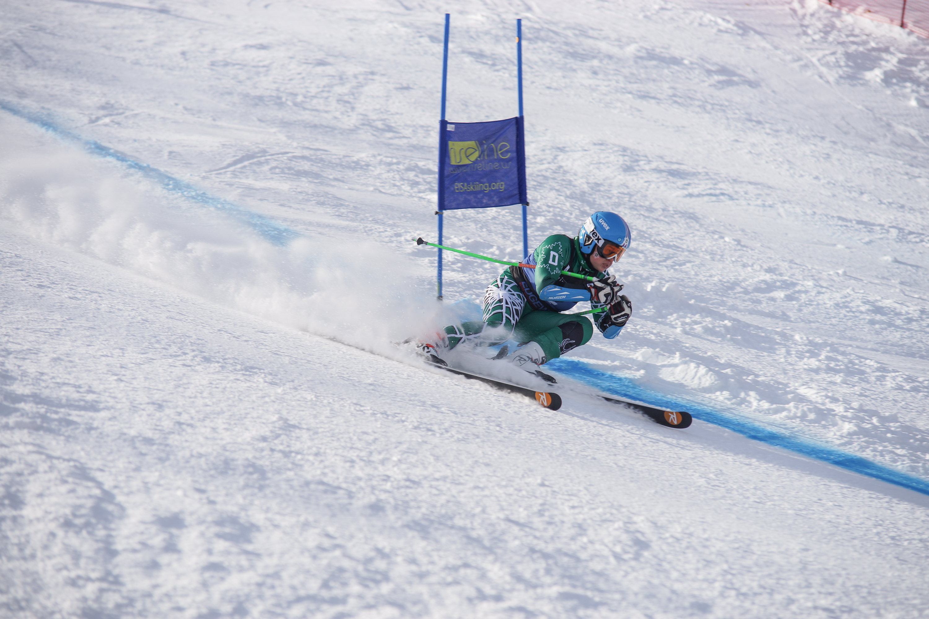
View of Dartmouth Skiway
North Thetford School House (District 2)

Great Crested Flycatcher digiscoped

91NB-Exit16-17

Lyme-Dorcheter Rd to New Hampshire 25A

Pancakes and a view.

Downstream from Glen Falls, VT 2

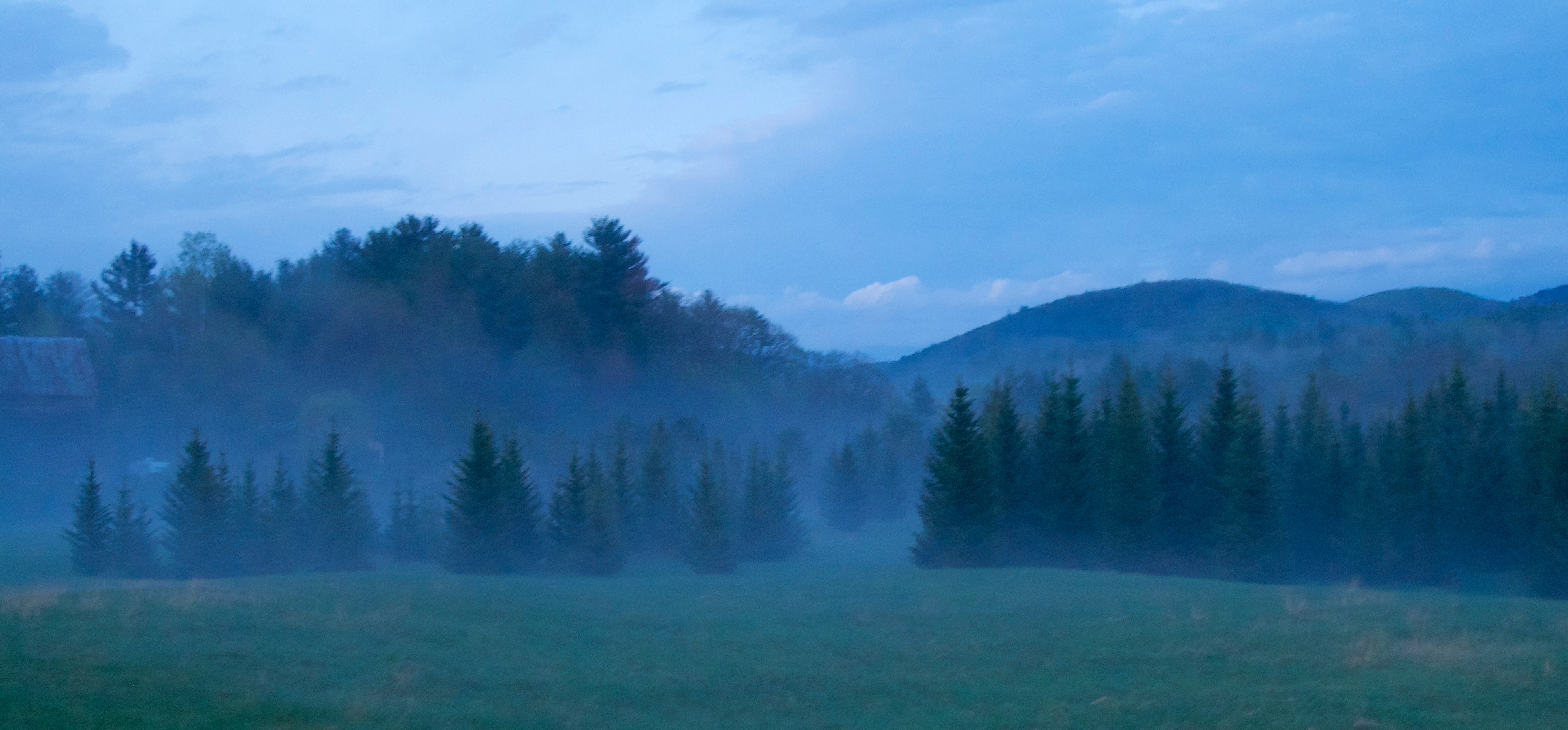
Spring or Autumn?
Orford, NH

Orford, NH

New England 2010 125

Winter Sunset

Good 'Moo'rning

Cold starry night.

Sayers Bridge in Thetford, Vermont

Glen Falls, Fairlee, VT

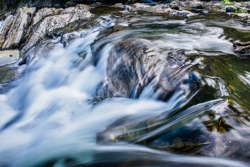
Roaring Waters

Glen Falls (VT)
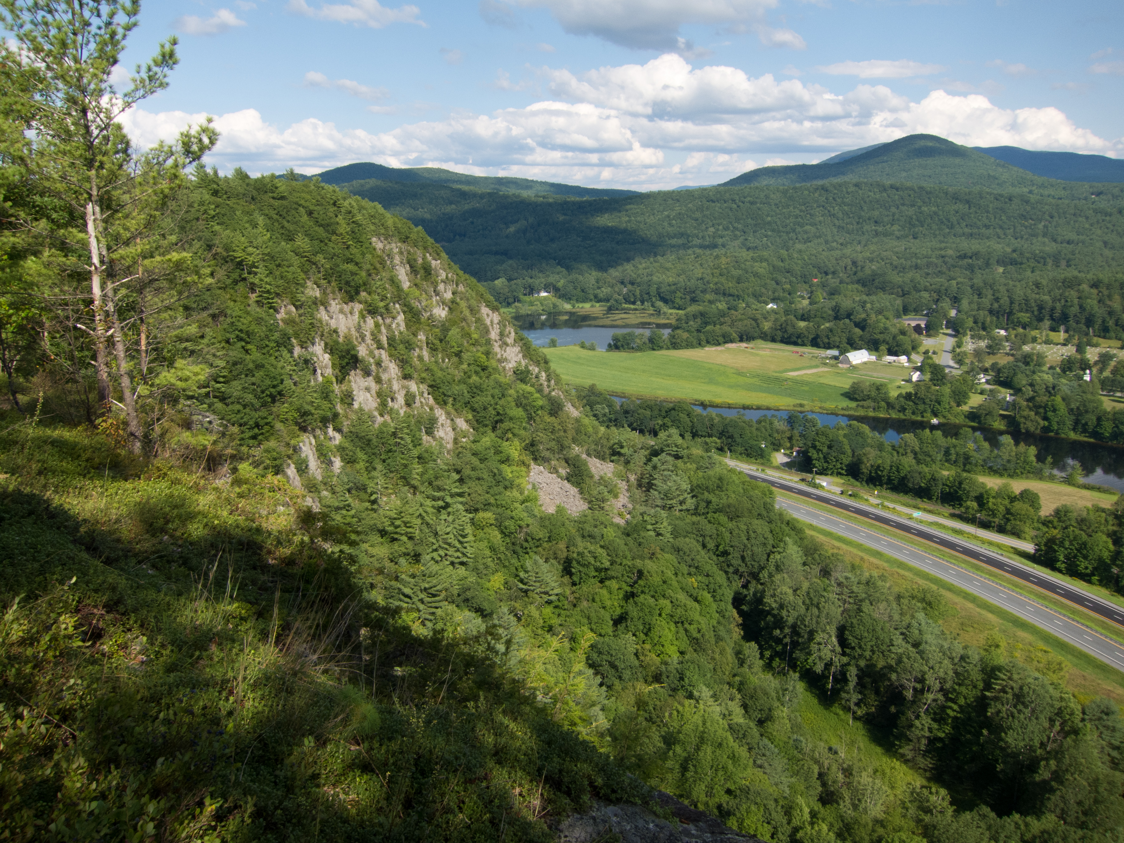
Fairlee Palisades

Winter Carnival 2015: "A Clash of Carnivals: Superheroes vs. Villains"

Downstream from Glen Falls, VT 1
The Falls at Sayers Covered Bridge in Thetford, Vermont
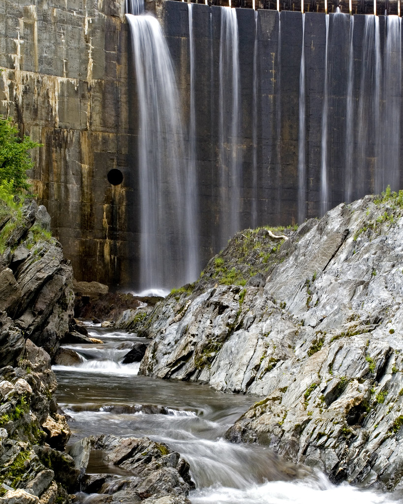
Bradford Dam

Reflections on the Connecticut River
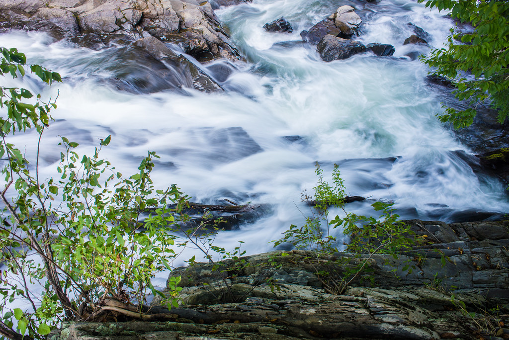
The Falls at Sayers Bridge in Thetford, Vermont

next to the cemetery

The Falls at Sayers Bridge in Thetford, Vermont
Topographic Map of Orford, NH, USA
Find elevation by address:

Places near Orford, NH, USA:
353 Fairview St
157 Blackberry Hill Rd
157 Blackberry Hill Rd
Bald Top
23 Storrs Hill Ln
35 Pinnacle Rd
522 River Rd
67 Highbridge Rd
Lake Fairlee
Lyme
104 Robinson Hill Rd
206 W Fairlee Rd
Lyme Center
92 Washburn Hill Rd
1348 5 Corners Rd
171 Hangar Bay Ln
895 5 Corners Rd
4648 Vt-113
Post Mills
304 Academy Rd
Recent Searches:
- Elevation of Corso Fratelli Cairoli, 35, Macerata MC, Italy
- Elevation of Tallevast Rd, Sarasota, FL, USA
- Elevation of 4th St E, Sonoma, CA, USA
- Elevation of Black Hollow Rd, Pennsdale, PA, USA
- Elevation of Oakland Ave, Williamsport, PA, USA
- Elevation of Pedrógão Grande, Portugal
- Elevation of Klee Dr, Martinsburg, WV, USA
- Elevation of Via Roma, Pieranica CR, Italy
- Elevation of Tavkvetili Mountain, Georgia
- Elevation of Hartfords Bluff Cir, Mt Pleasant, SC, USA