Elevation of Ordie, Aboyne AB34, UK
Location: United Kingdom > Scotland > Aberdeenshire >
Longitude: -2.90296
Latitude: 57.103114
Elevation: 170m / 558feet
Barometric Pressure: 99KPa
Elevation Map:
Satellite Map:
Related Photos:

Crò Mhàrr, The Sheepfold of Mar.

Queens View 26 May 2009 (3).jpg
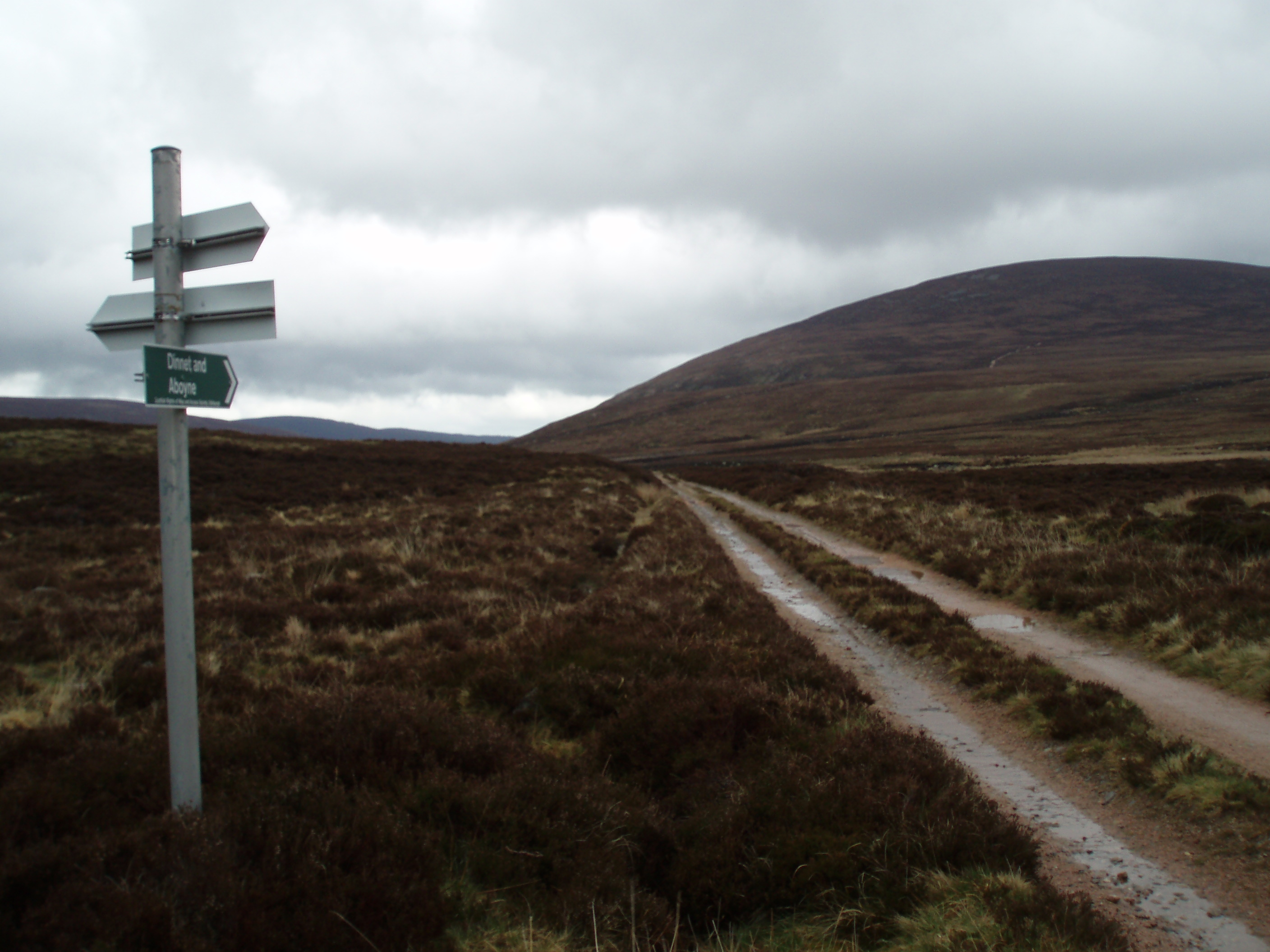
View from the Old Military Road - A939
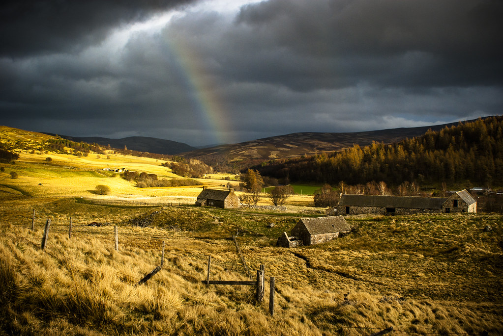
Aberdeenshire farm and rainbow - re-post for reasons given below - not quite sure of the mapping
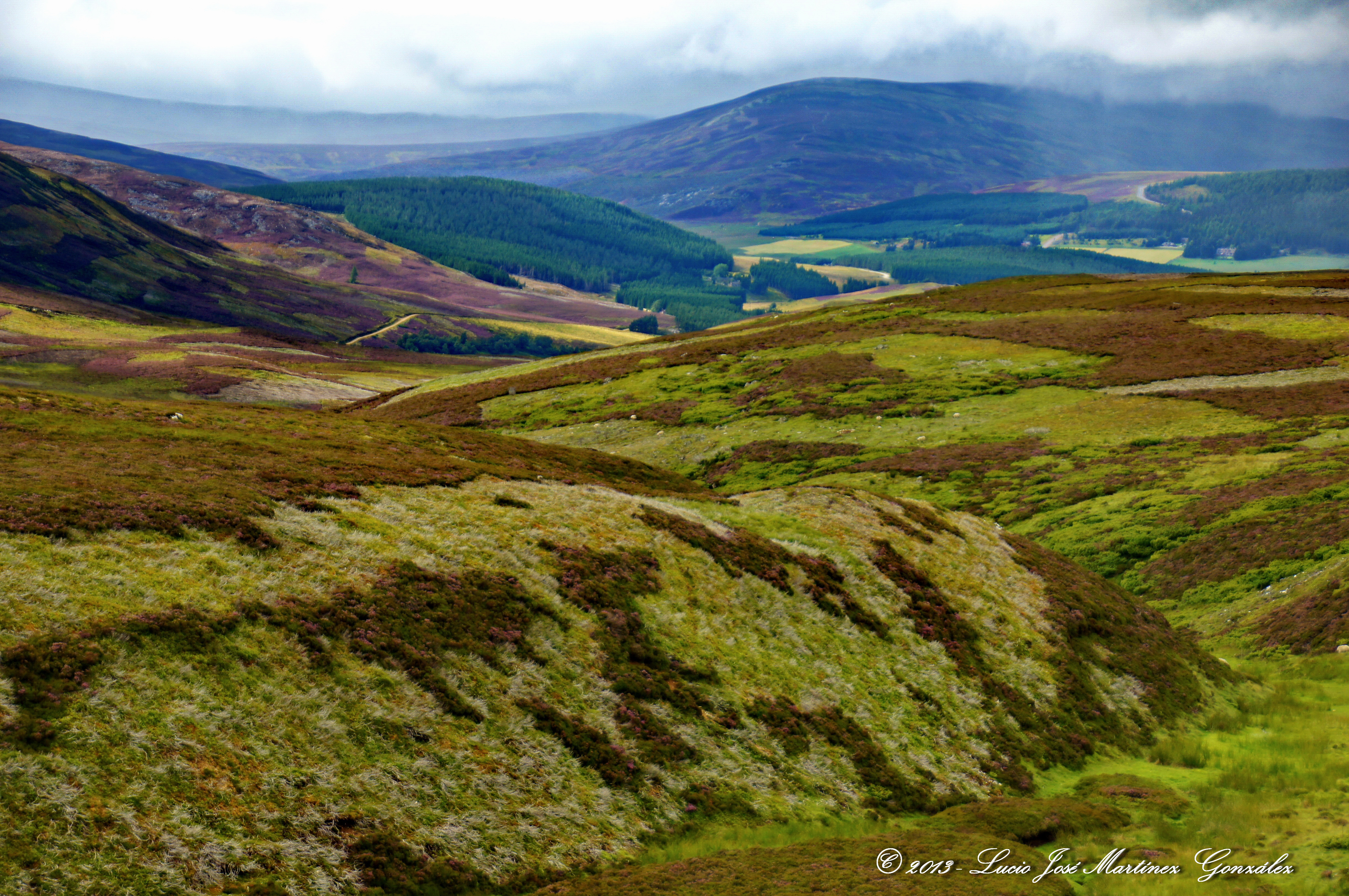
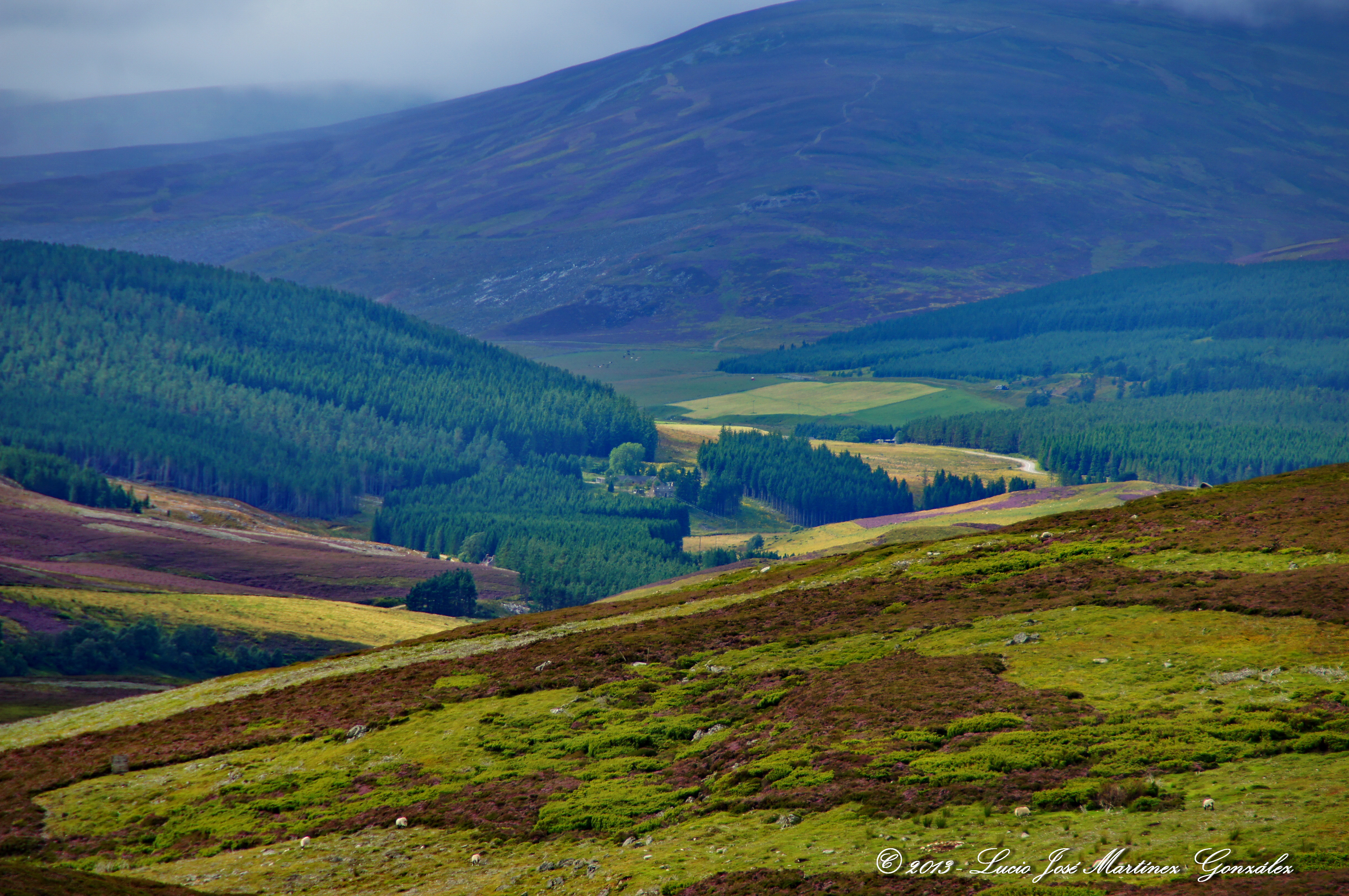
View from the Old Military Road - A939
View from the Old Military Road - A939
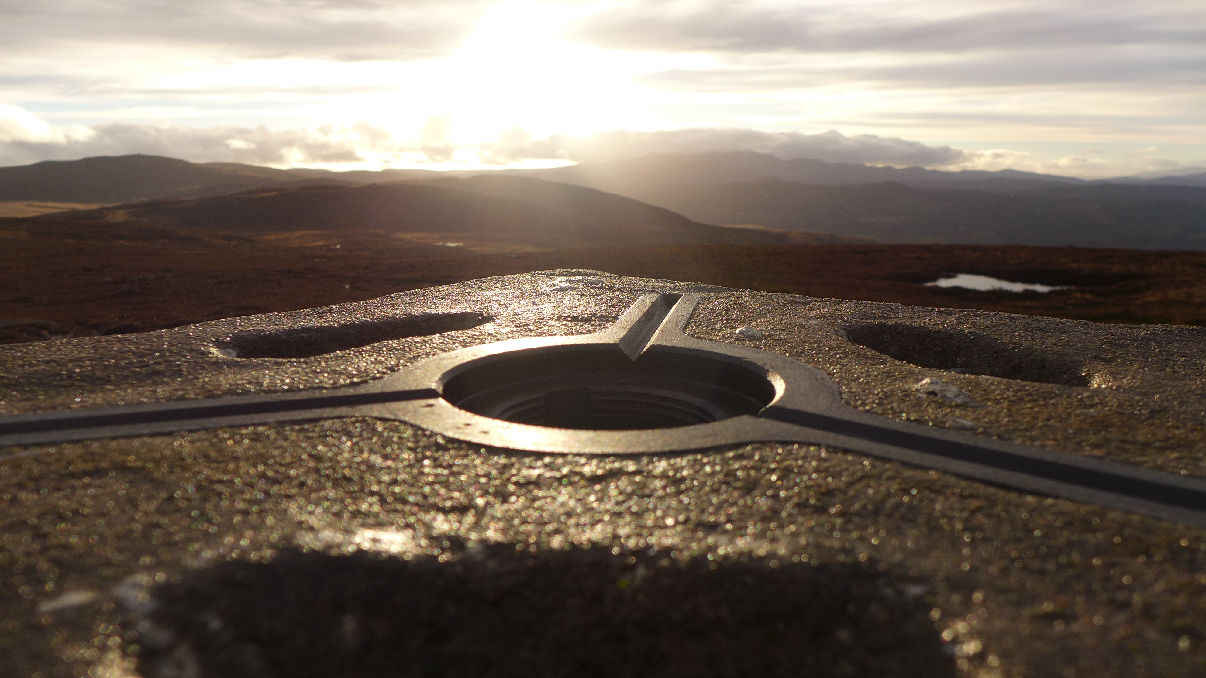
Trigpoint's view to Lochnagar
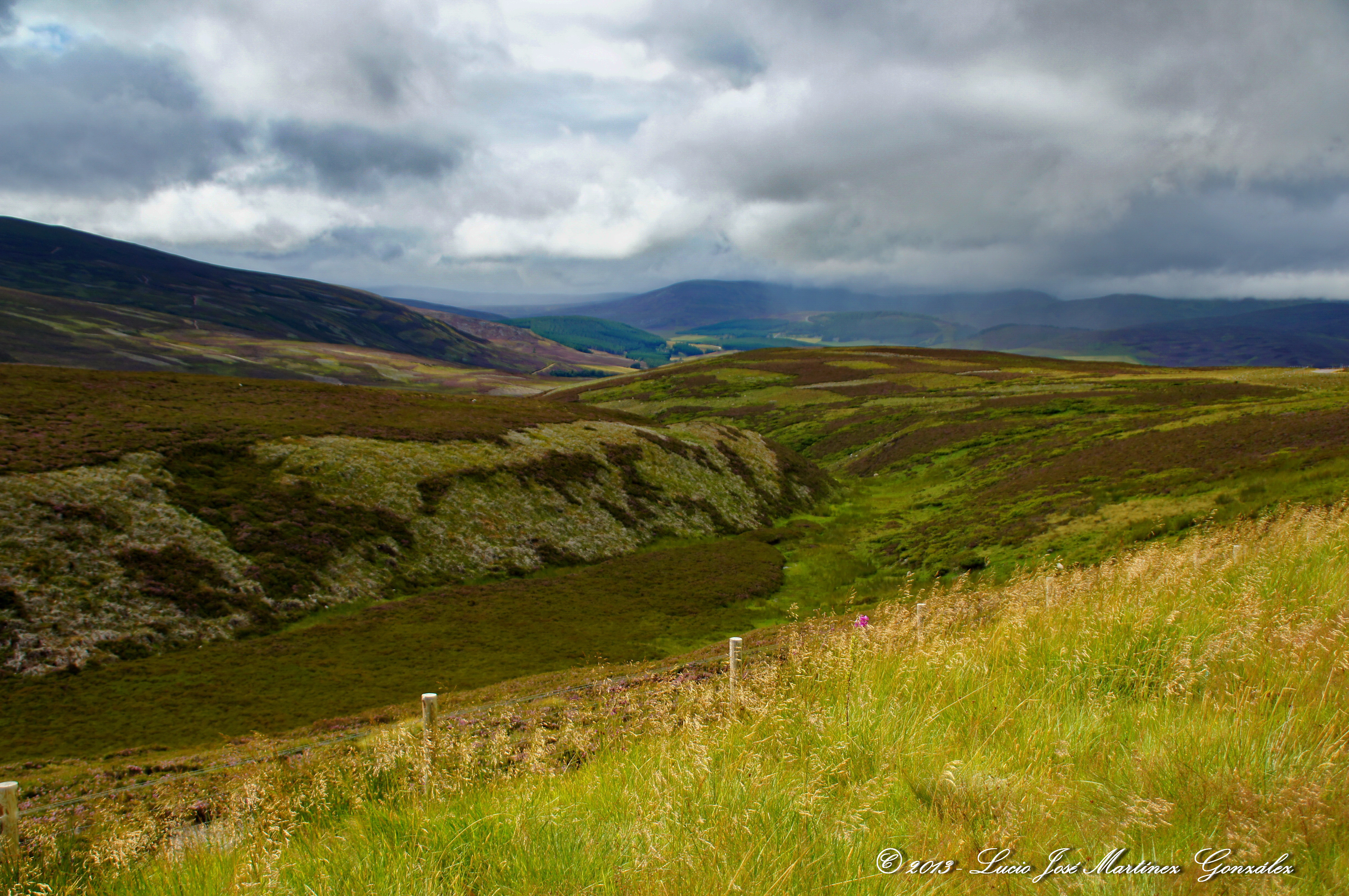
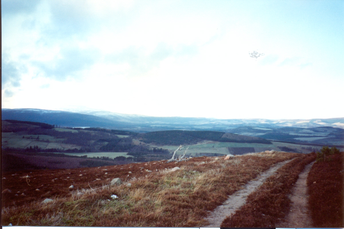
View from the Old Military Road - A939

View from the Old Military Road - A939
View from the Old Military Road - A939

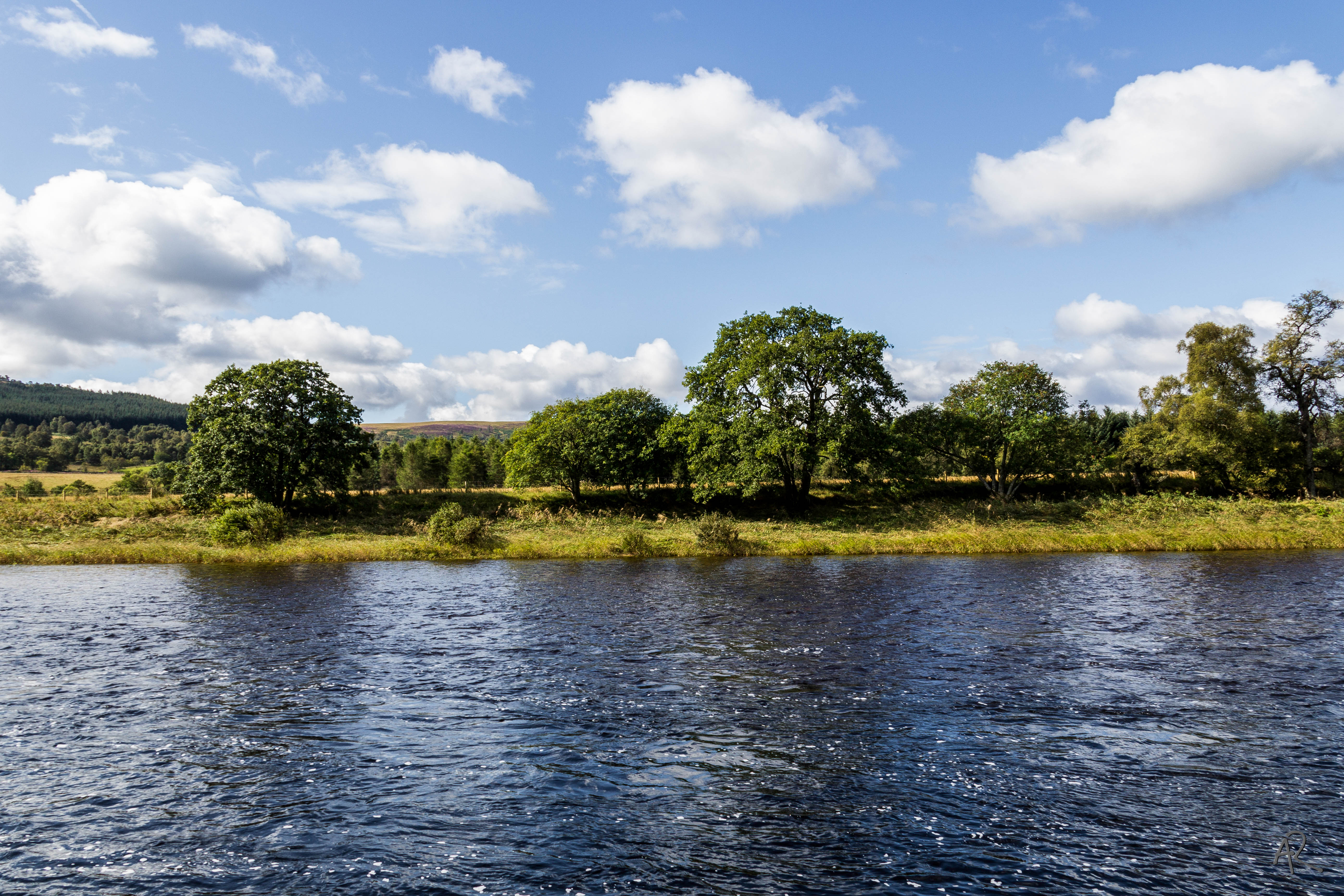
Potarch Bridge
Sit Back and Enjoy The Ride

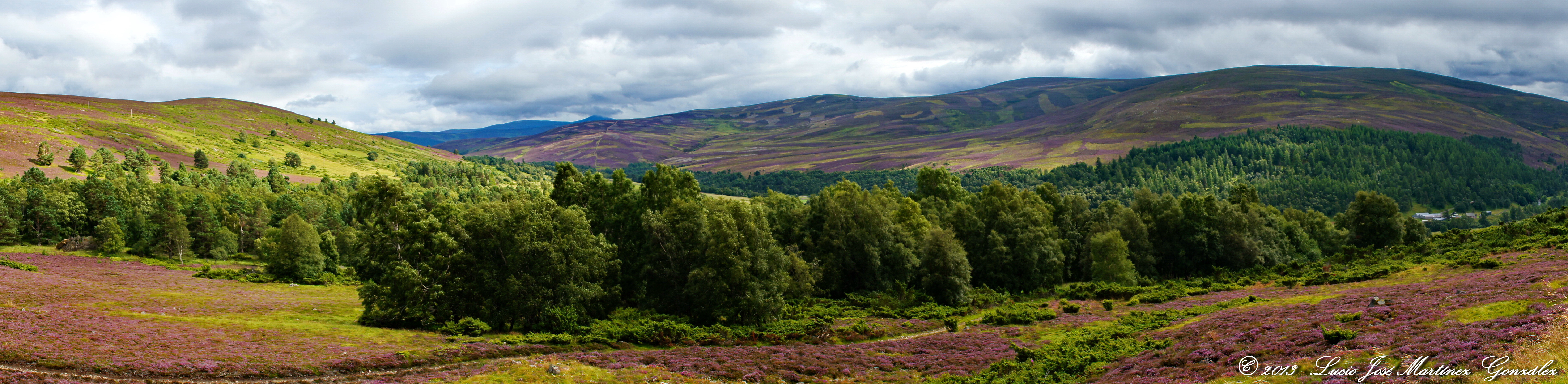
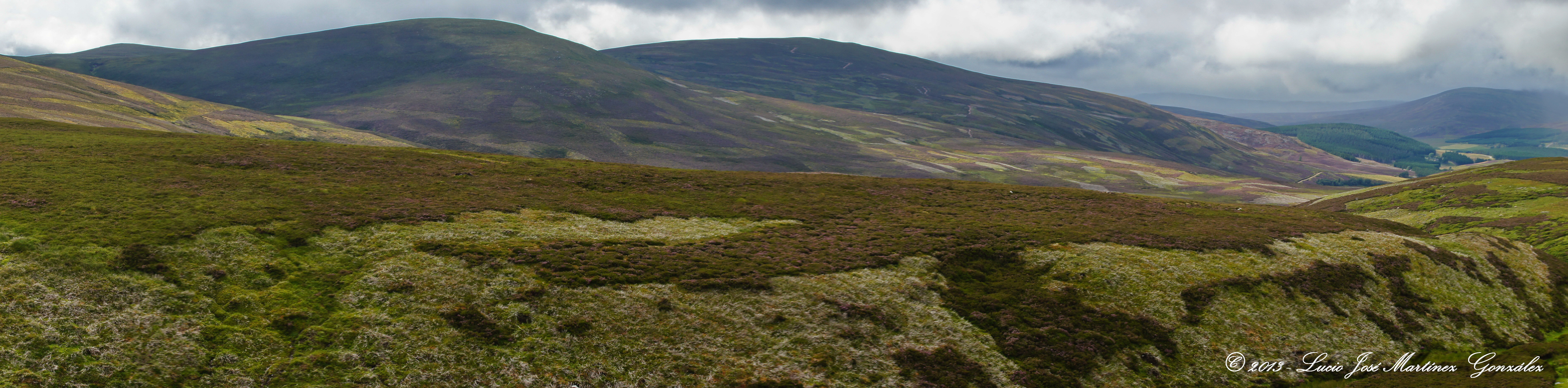
View across Howe of Cromar from Craiglich

Golden-ringed dragonfly (detail)
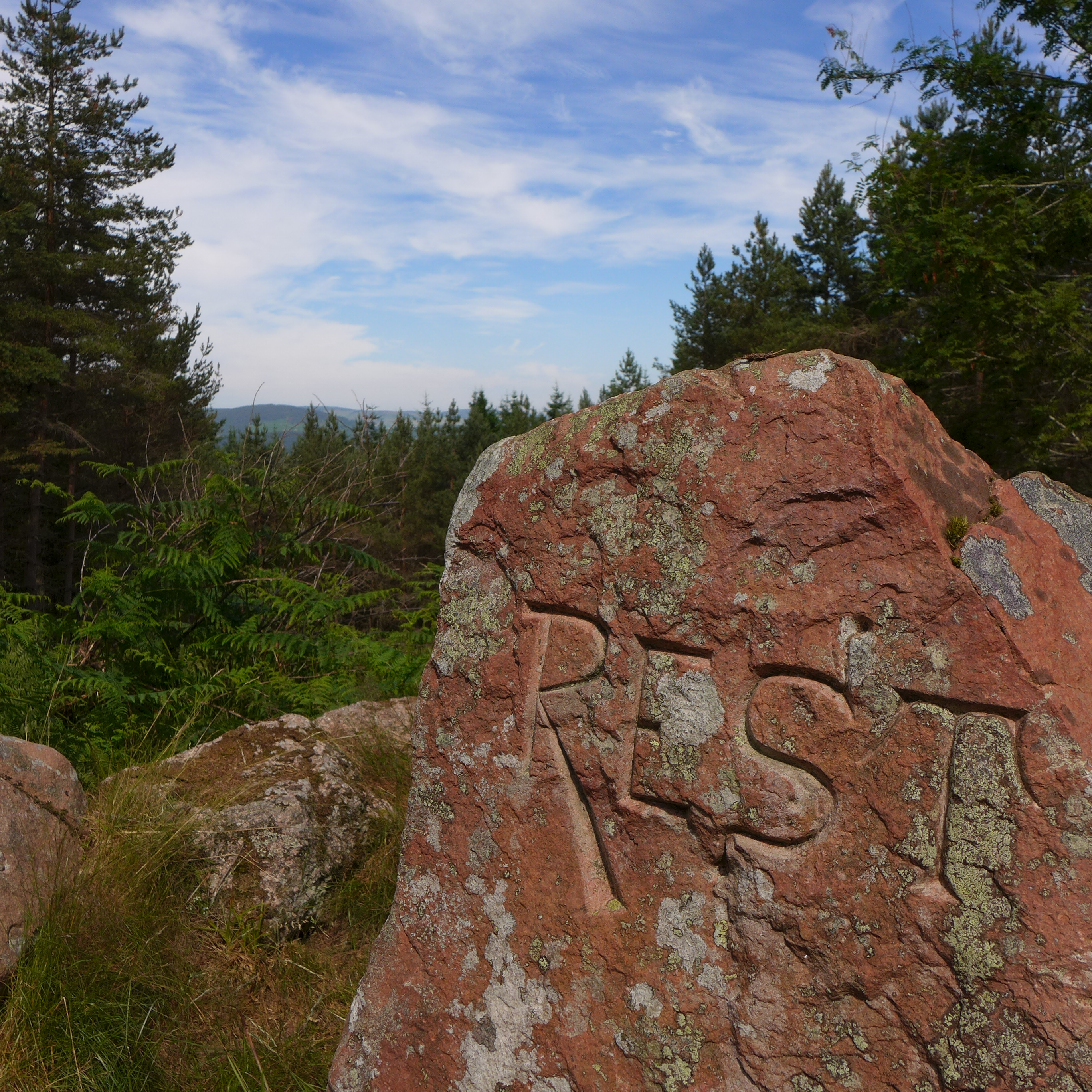
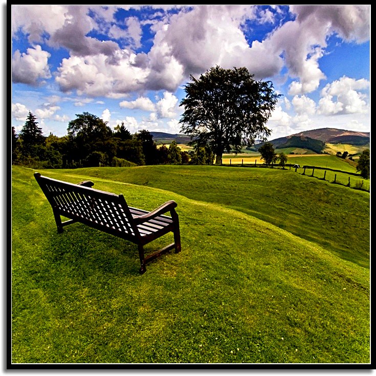
Day 202//365 Well earned rest
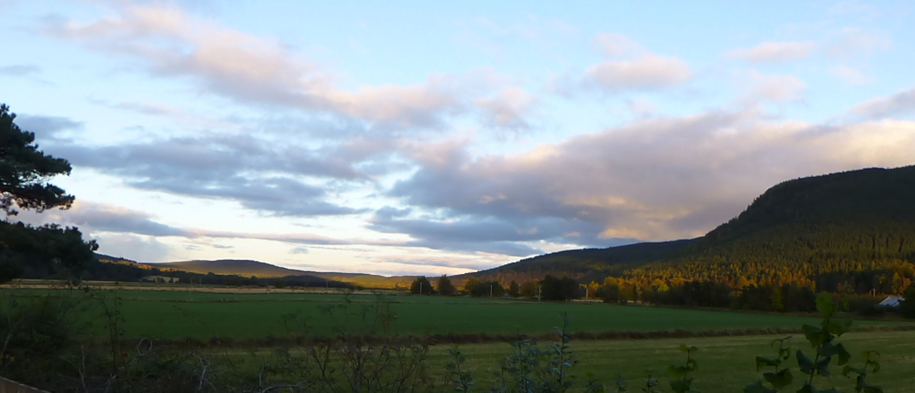
Early Autumn Evening, Ballater, Royal Deeside, Cairngorms National Park, Aberdeenshire, Scotland, UK.
P36 View E down Glen Tanar
1985 View towards Aboyne from Rest & Be Thankful on Fungle
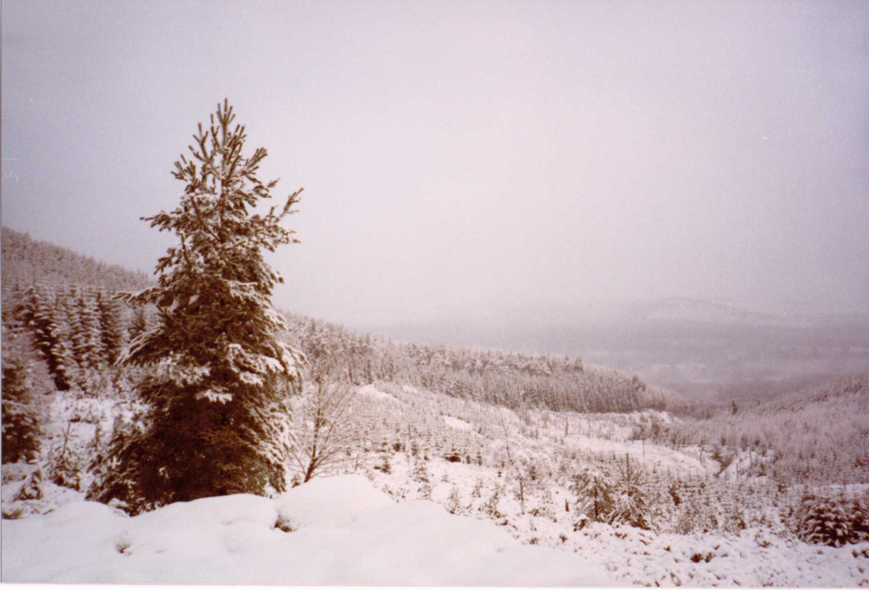
18/02/1990 Deeside from Firmounth

1985 View south from Fungle at top of climb out of Aboyne
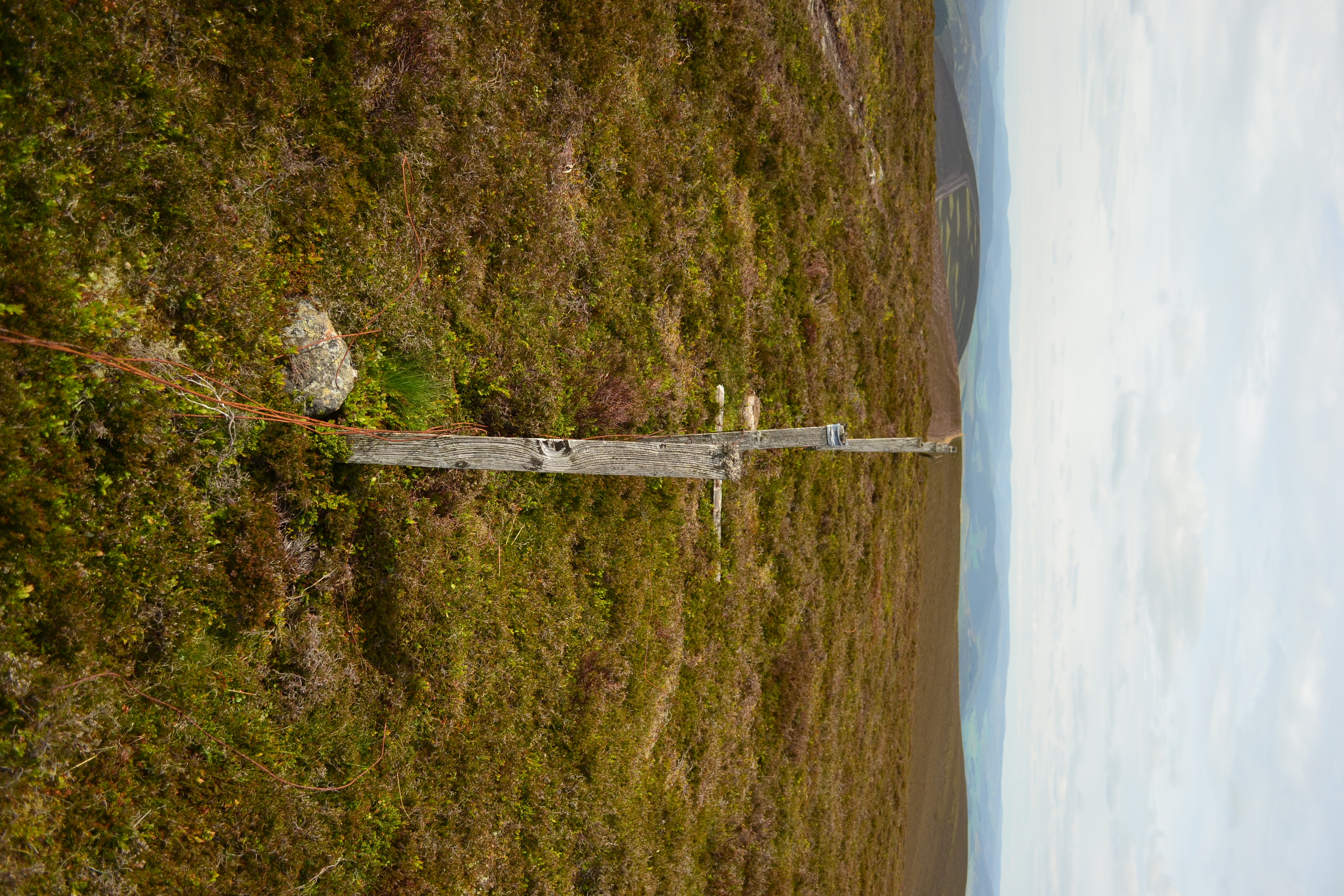
Heather tops

...upon us all a little rain must fall.

Cambus O'May 03 November 2006

Cambus O'May 03 November 2006-2.jpg

Everything's just beachy ;)
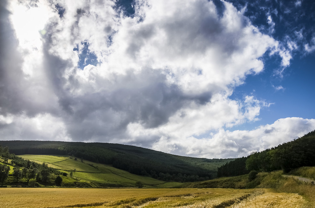
Fields of Glenbuchat

Potarch Bridge (P6196062)
Burn O'Vat infrared (M2220557raw big 0Ph1-0-2-HDR)
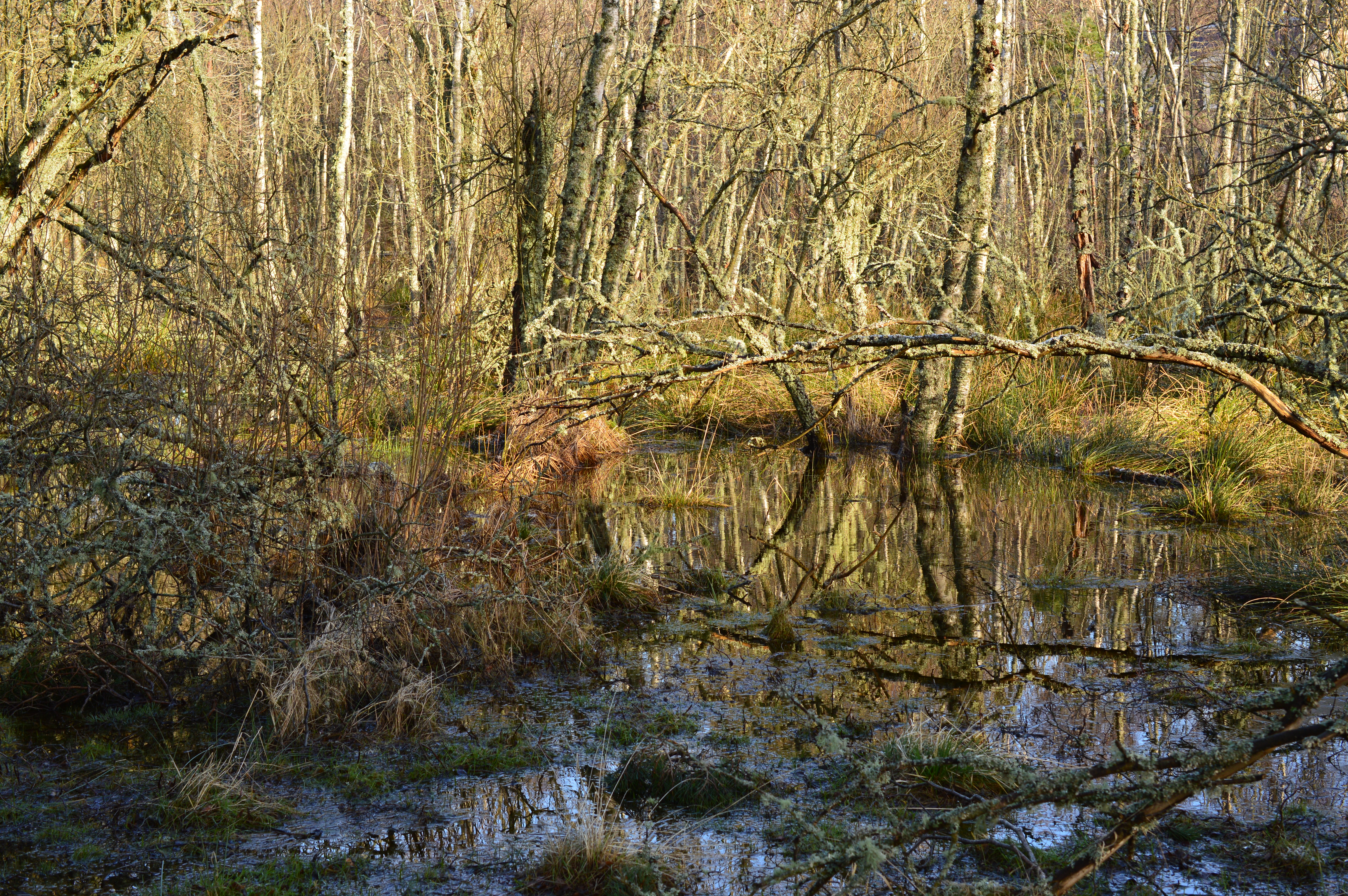
Swamp Kinnord
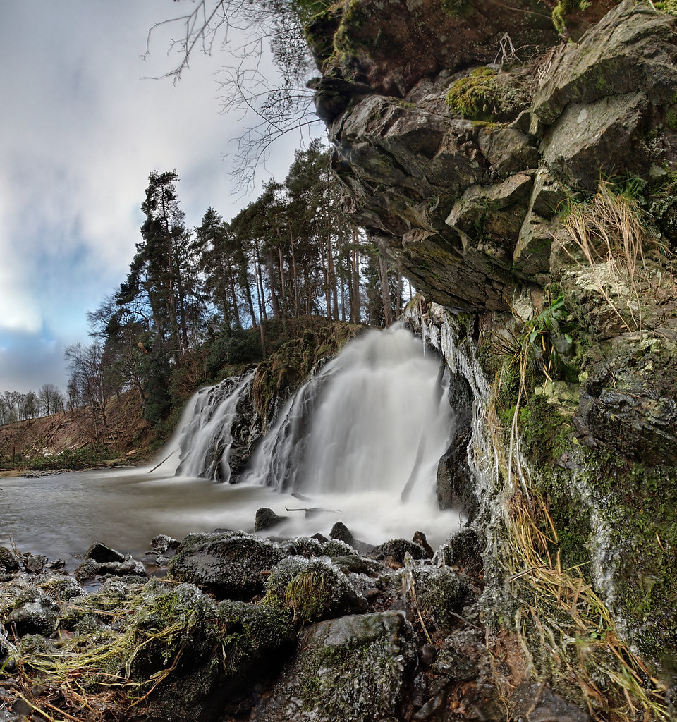
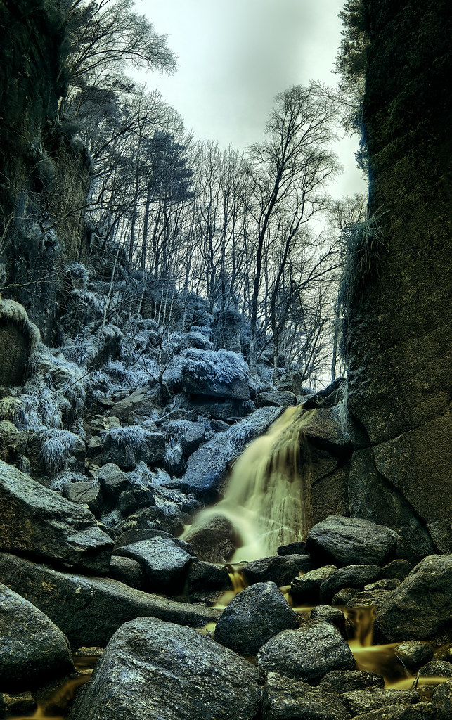
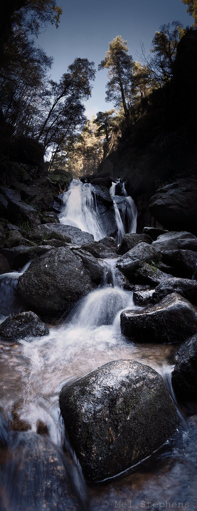
Waterfall (P1300356)
Burn O'Vat (M1111845-batch 1x7 0v5-0 bw_average E-M1 12mm iso200 f8 0.4s)
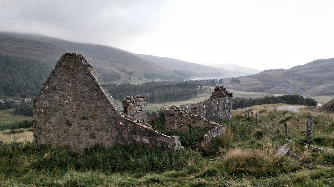
highland ruin
1297 _ Blue-Green-Blue.

Steinerne Brücke - Stone Bridge
Topographic Map of Ordie, Aboyne AB34, UK
Find elevation by address:

Places in Ordie, Aboyne AB34, UK:
Places near Ordie, Aboyne AB34, UK:
Rose Cottage
Tarland
Roaring Stag Coffee Roasters
Ballater
Birkhall
Rhynie
Cabrach House
Cabrach
Loch Muick
Crathie
Balmoral Castle
Corgarff Castle
Dd8
Lochnagar
A96
Angus
Dufftown
6b
Ab55 4bu
Keith
Recent Searches:
- Elevation of Corso Fratelli Cairoli, 35, Macerata MC, Italy
- Elevation of Tallevast Rd, Sarasota, FL, USA
- Elevation of 4th St E, Sonoma, CA, USA
- Elevation of Black Hollow Rd, Pennsdale, PA, USA
- Elevation of Oakland Ave, Williamsport, PA, USA
- Elevation of Pedrógão Grande, Portugal
- Elevation of Klee Dr, Martinsburg, WV, USA
- Elevation of Via Roma, Pieranica CR, Italy
- Elevation of Tavkvetili Mountain, Georgia
- Elevation of Hartfords Bluff Cir, Mt Pleasant, SC, USA