Elevation map of Orange Walk District, Belize
Location: Belize >
Longitude: -88.864698
Latitude: 17.760353
Elevation: 9m / 30feet
Barometric Pressure: 101KPa
Elevation Map:
Satellite Map:
Related Photos:

La union

Sugar Cane Field
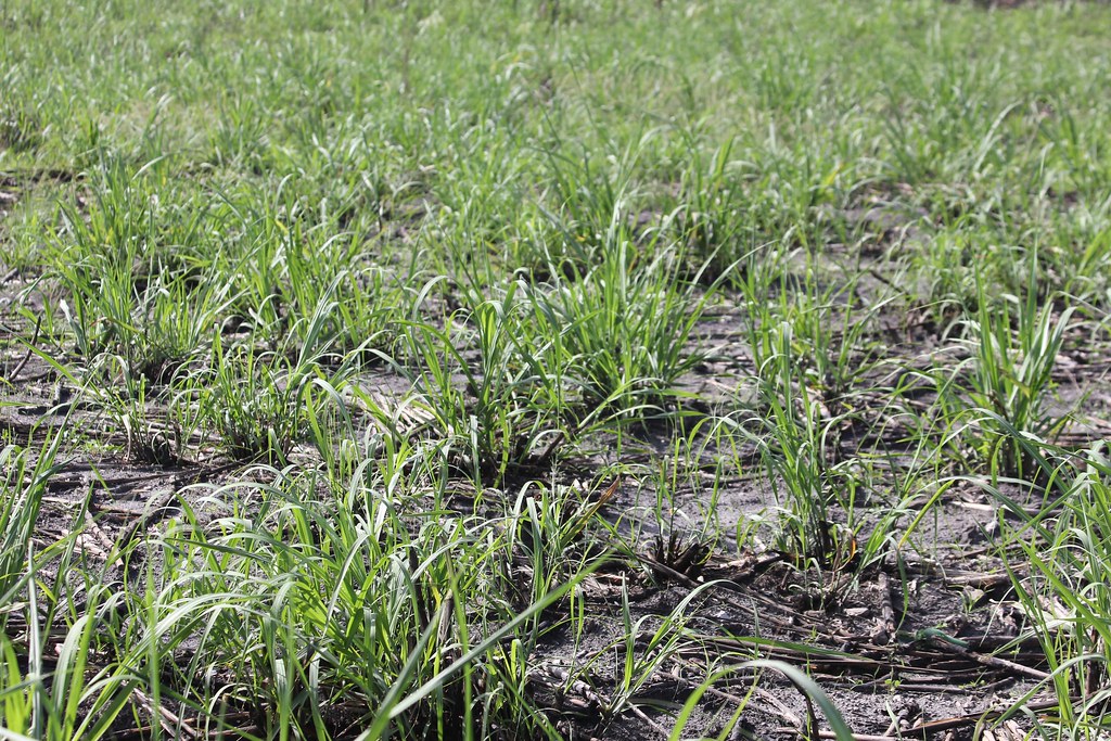
Sugar Cane Field
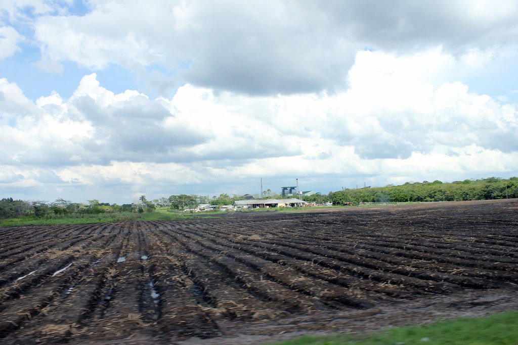
Sugar Cane Field

Sugar Cane Field

Sugar Cane Field

Sugar Cane Field

Sugar Cane Field

Sugar Cane Field

Sugar Cane Field

Sugar Cane Field

Sugar Cane Field

Sugar Cane Field
Topographic Map of Orange Walk District, Belize
Find elevation by address:

Places near Orange Walk District, Belize:
Ucum - Unión, Quintana Roo, Mexico
Lamanai Archaeological Reserve
Chan Chich Lodge
Belmopan
Mount Hope
Ian Anderson's Caves Branch Jungle Lodge
Duplooy's
San Ignacio
Maya Vista Drive
Cayo District
Go-maya Belize Adventures
San Antonio
Gaia River Lodge
Tikal
Flores
Recent Searches:
- Elevation of Corso Fratelli Cairoli, 35, Macerata MC, Italy
- Elevation of Tallevast Rd, Sarasota, FL, USA
- Elevation of 4th St E, Sonoma, CA, USA
- Elevation of Black Hollow Rd, Pennsdale, PA, USA
- Elevation of Oakland Ave, Williamsport, PA, USA
- Elevation of Pedrógão Grande, Portugal
- Elevation of Klee Dr, Martinsburg, WV, USA
- Elevation of Via Roma, Pieranica CR, Italy
- Elevation of Tavkvetili Mountain, Georgia
- Elevation of Hartfords Bluff Cir, Mt Pleasant, SC, USA