Elevation of OR-18, Grand Ronde, OR, USA
Location: United States > Oregon > Polk County > Grand Ronde >
Longitude: -123.61858
Latitude: 45.0582992
Elevation: 110m / 361feet
Barometric Pressure: 100KPa
Elevation Map:
Satellite Map:
Related Photos:

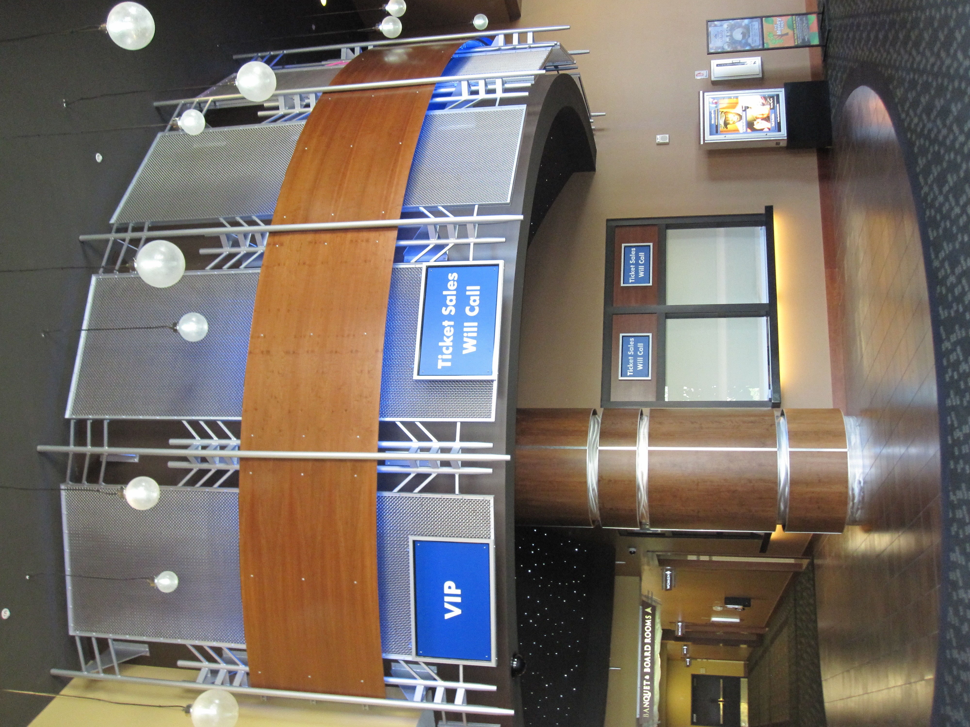
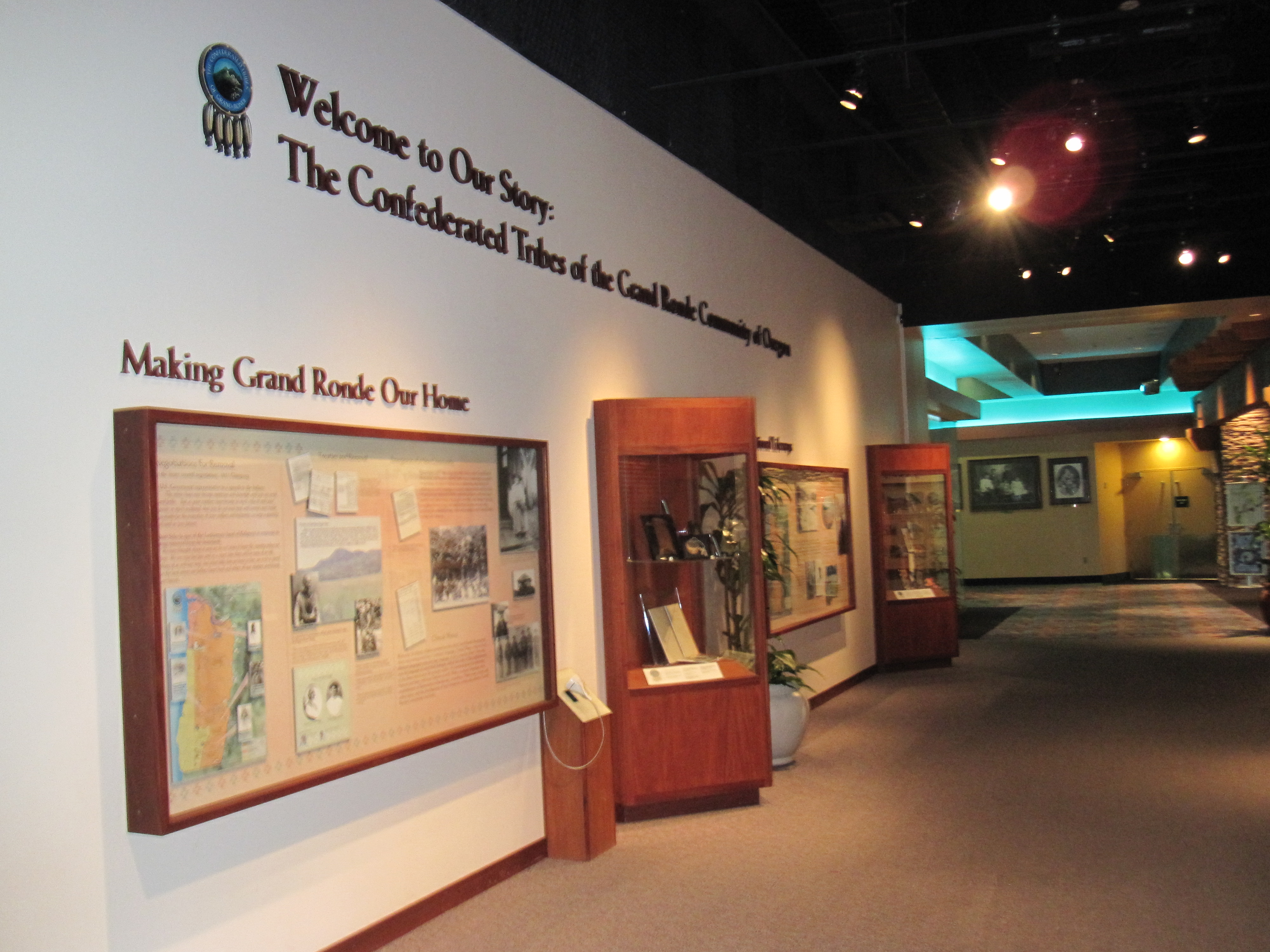
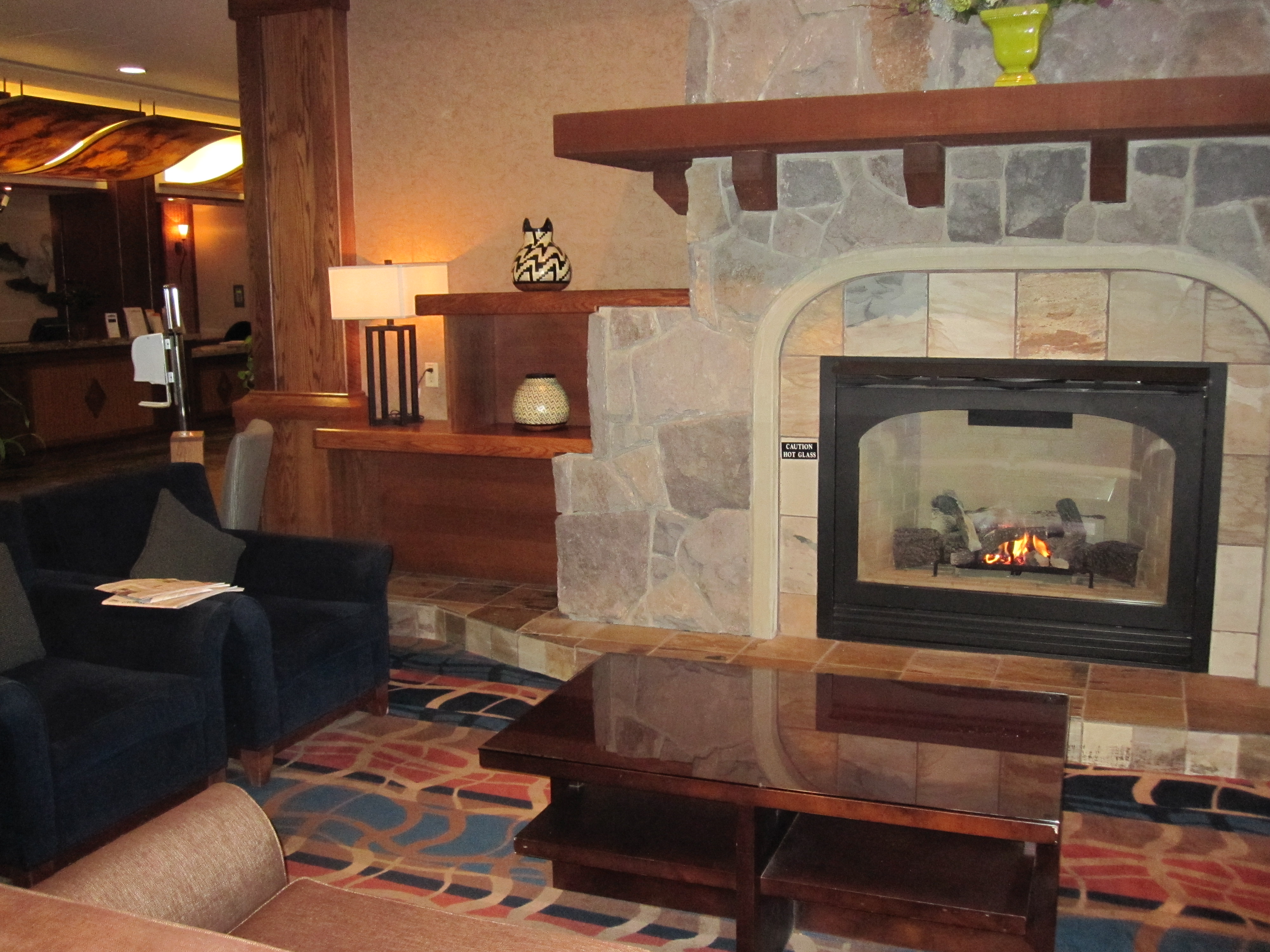
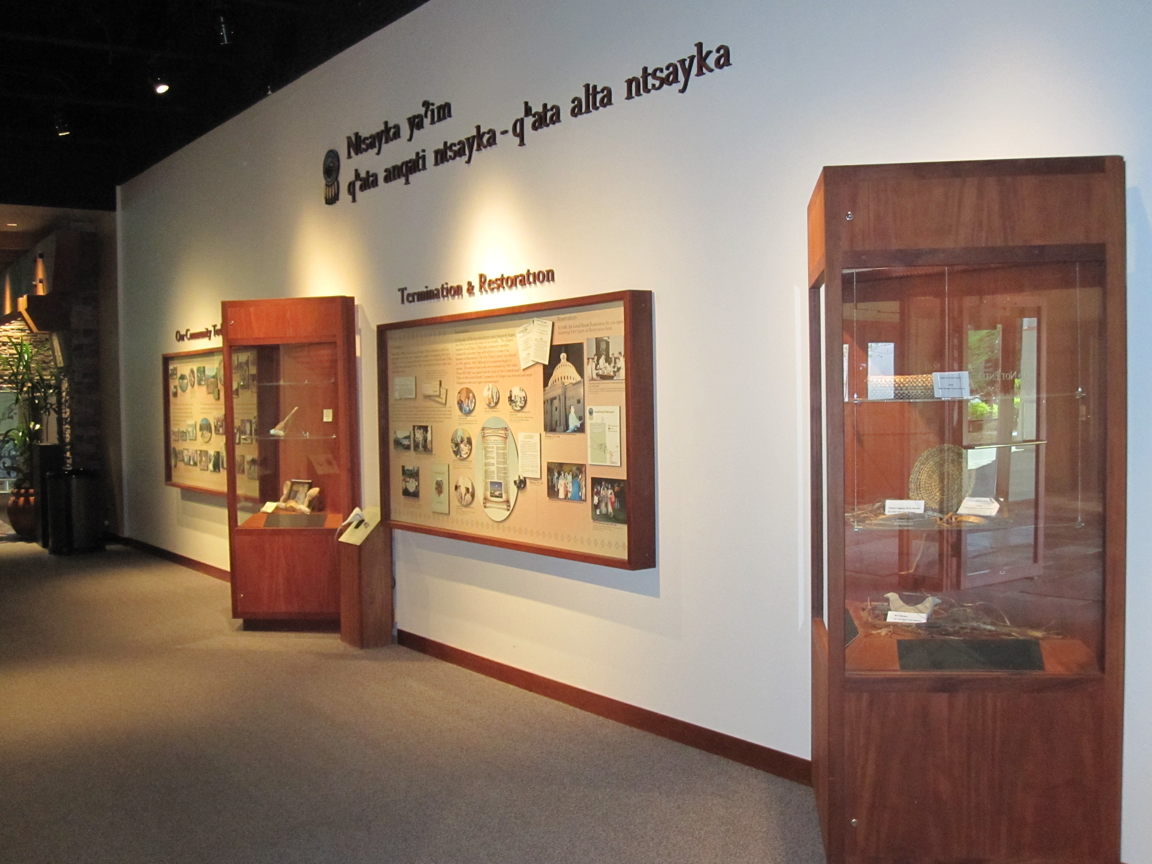
Spirit Mountain Casino

Spirit Mountain Casino
Spirit Mountain Casino
Spirit Mountain Casino

Spirit Mountain Casino

Spirit Mountain Casino

Spirit Mountain Casino
Spirit Mountain Casino

Spirit Mountain Casino

Spirit Mountain Casino
Spirit Mountain Casino

At a complete stop

Zwilling top 20110429
View from Fort Yamhill
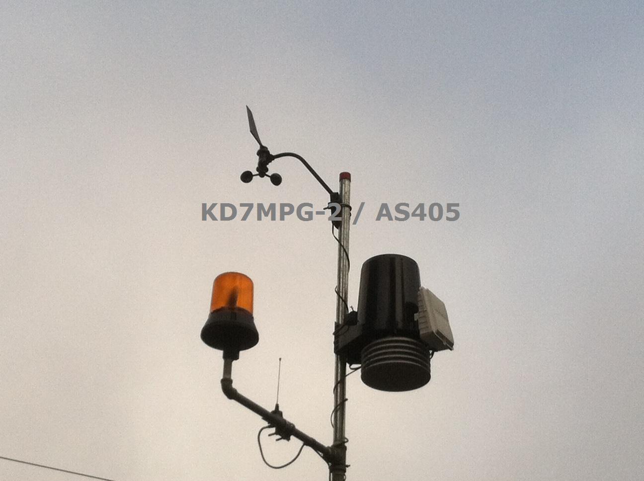
Another view of the Davis Vantage Pro2 ISS.
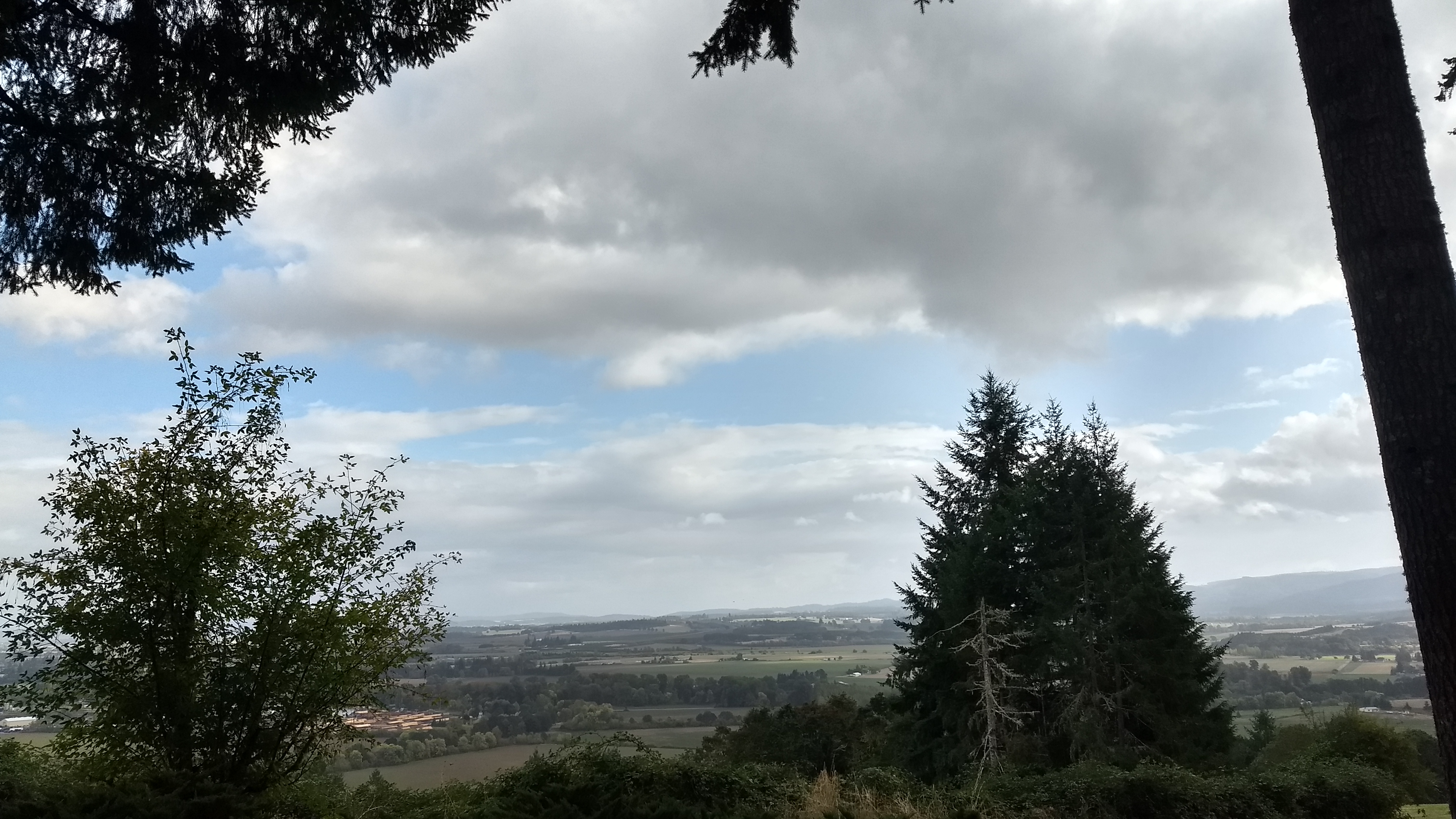
View of the Yamhill Valley from the Delphian School
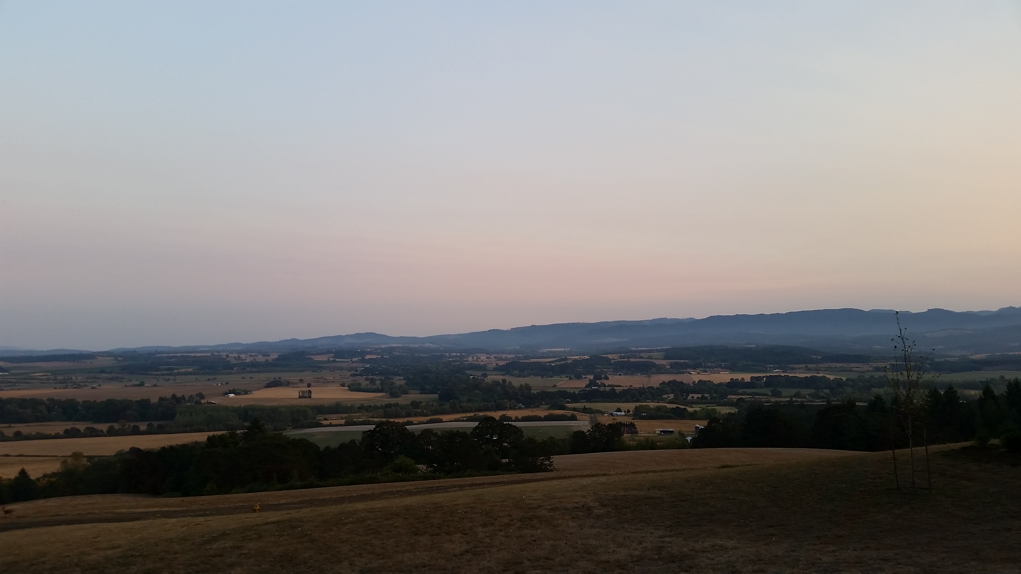
The Timeless View from the Delphian Hill

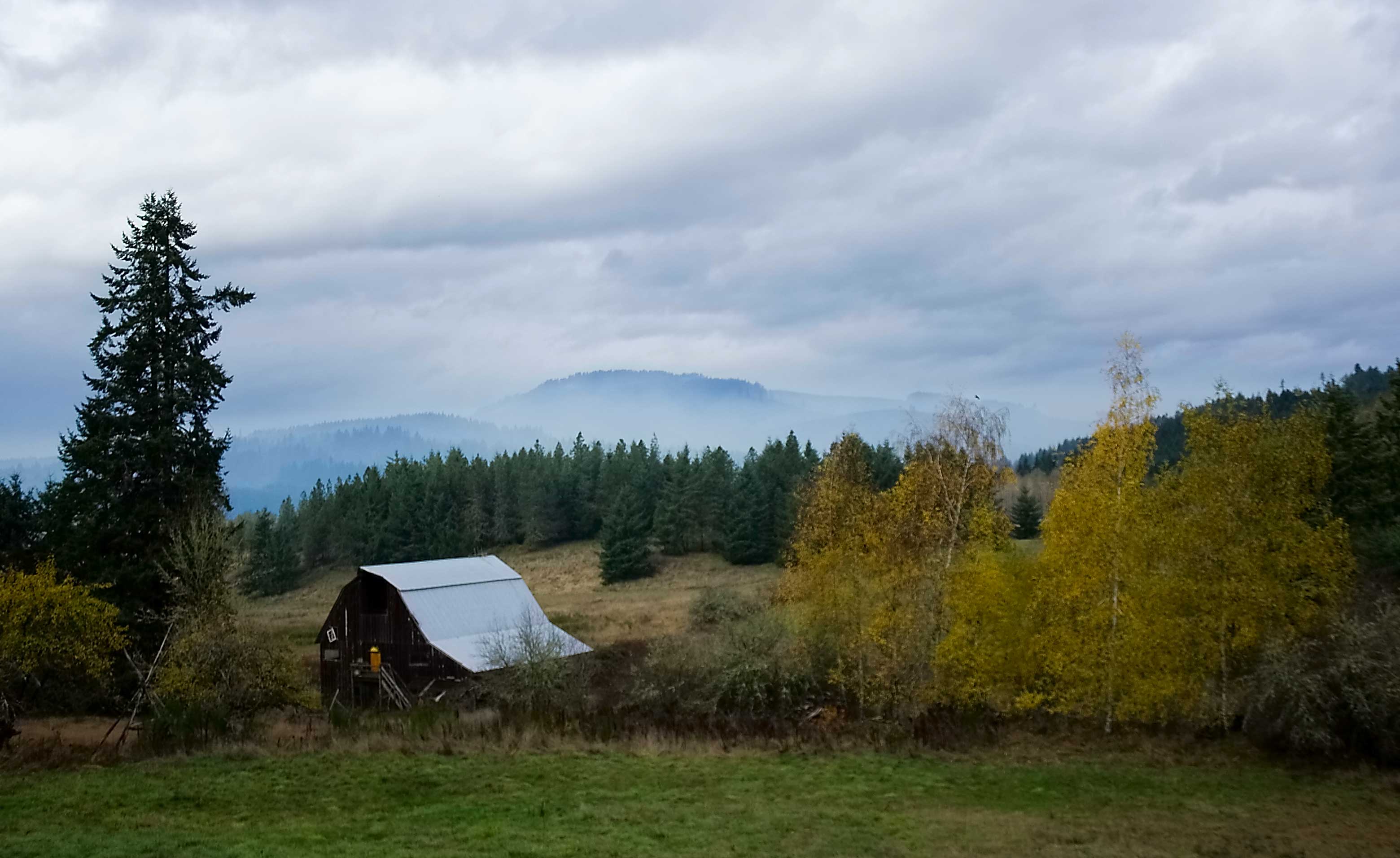
Late afternoon sunlight

Gold Creek Road

Cool #skies today! #halo #nofilter #cloudy

P1020535.JPG
April 20 09 Random 033

P1020583.JPG
IMG_2343-HDR

Landscape 2

CapeKiwanda-3
Oregon Creek Old Scenic
Sheridan, OR from The Delphian School
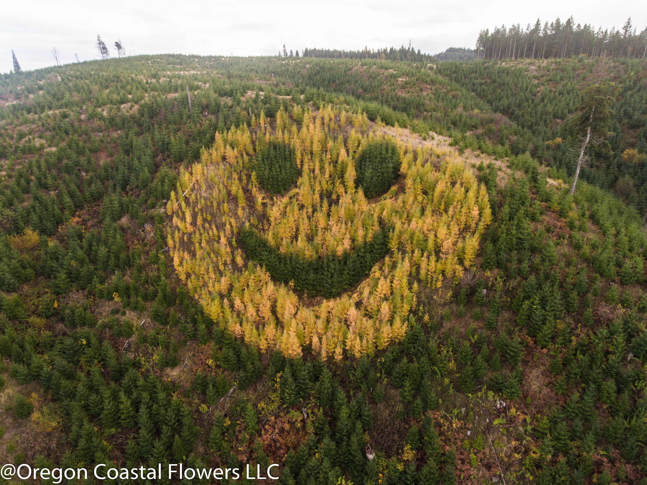
Smiley Face in Forest
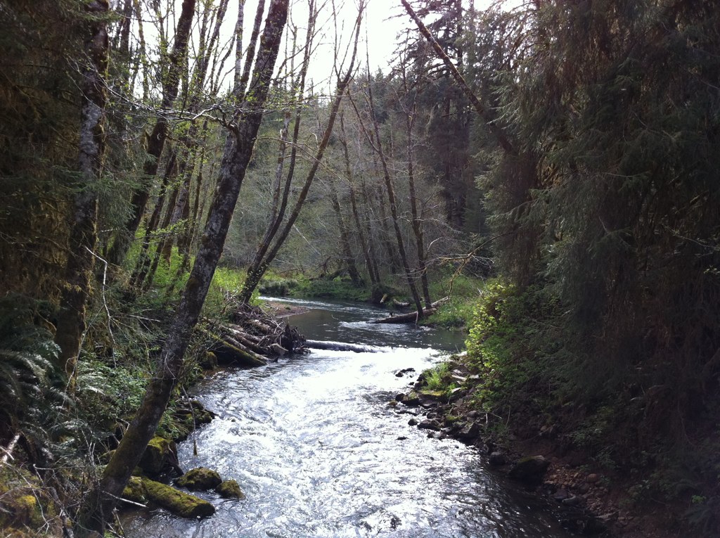
Natural Creek

P1020551.JPG
Van Duzer Forest (05)
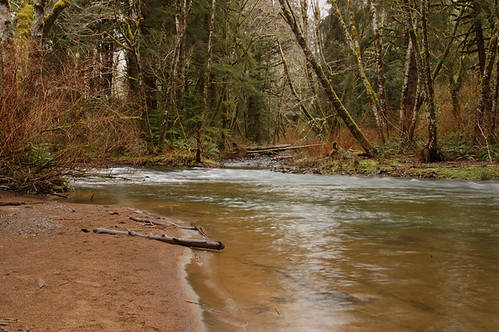
River One
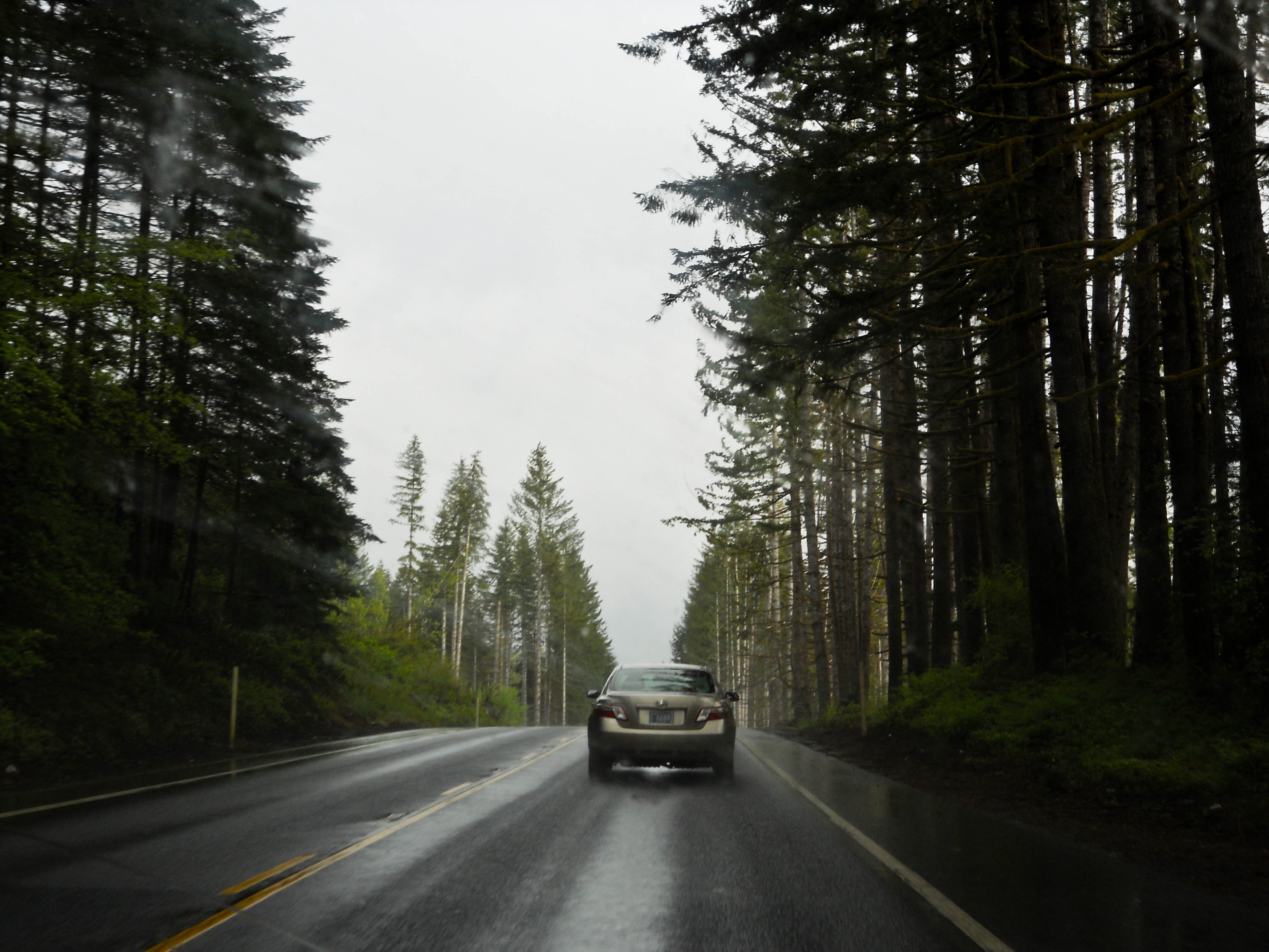
Road-tripping
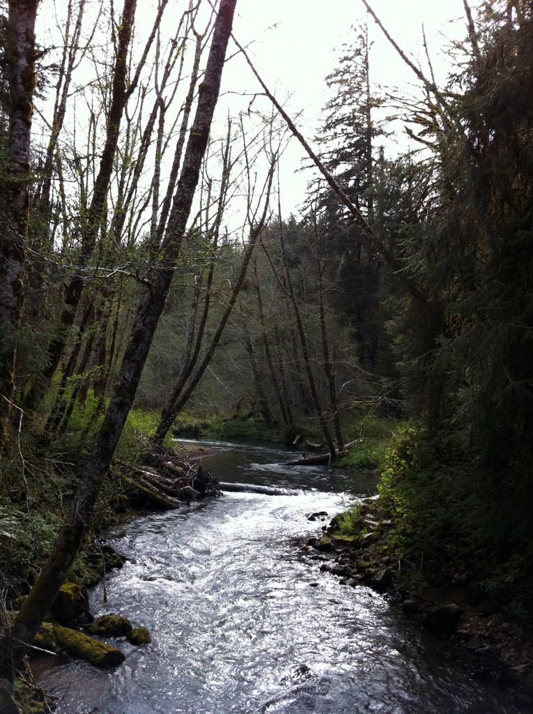
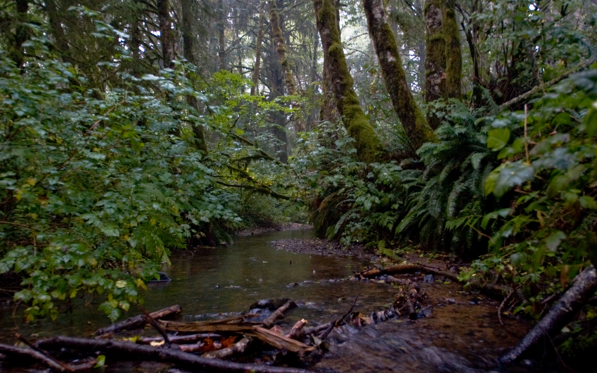
Untouched Creek
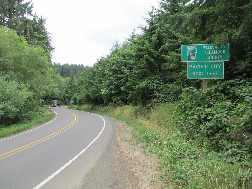
Entering Tillamook County (Tillamook County, Oregon)

Testing out pictures with the new phone.

willamina cemetery - willamina, or
Topographic Map of OR-18, Grand Ronde, OR, USA
Find elevation by address:

Places near OR-18, Grand Ronde, OR, USA:
Grand Ronde
9509 Raven Loop
6950 Alvord Alley
23505 Gooseneck Creek Rd
840 Nw 6th St
840 Nw 6th St
555 Sw Hill Dr
Sawtell Road
Willamina
22315 Finn Rd
540 Ne E St
41040 Sw Pumpkinseed Rd
Willamina, OR, USA
Route 18
1226 W Main St
Frank Road
350 N Bridge St
Sheridan
6640 Frank Rd
Thomson Mill Road
Recent Searches:
- Elevation of Corso Fratelli Cairoli, 35, Macerata MC, Italy
- Elevation of Tallevast Rd, Sarasota, FL, USA
- Elevation of 4th St E, Sonoma, CA, USA
- Elevation of Black Hollow Rd, Pennsdale, PA, USA
- Elevation of Oakland Ave, Williamsport, PA, USA
- Elevation of Pedrógão Grande, Portugal
- Elevation of Klee Dr, Martinsburg, WV, USA
- Elevation of Via Roma, Pieranica CR, Italy
- Elevation of Tavkvetili Mountain, Georgia
- Elevation of Hartfords Bluff Cir, Mt Pleasant, SC, USA