Elevation of Općina Lekenik, Croatia
Location: Croatia >
Longitude: 16.1719761
Latitude: 45.5341673
Elevation: 142m / 466feet
Barometric Pressure: 100KPa
Elevation Map:
Satellite Map:
Related Photos:
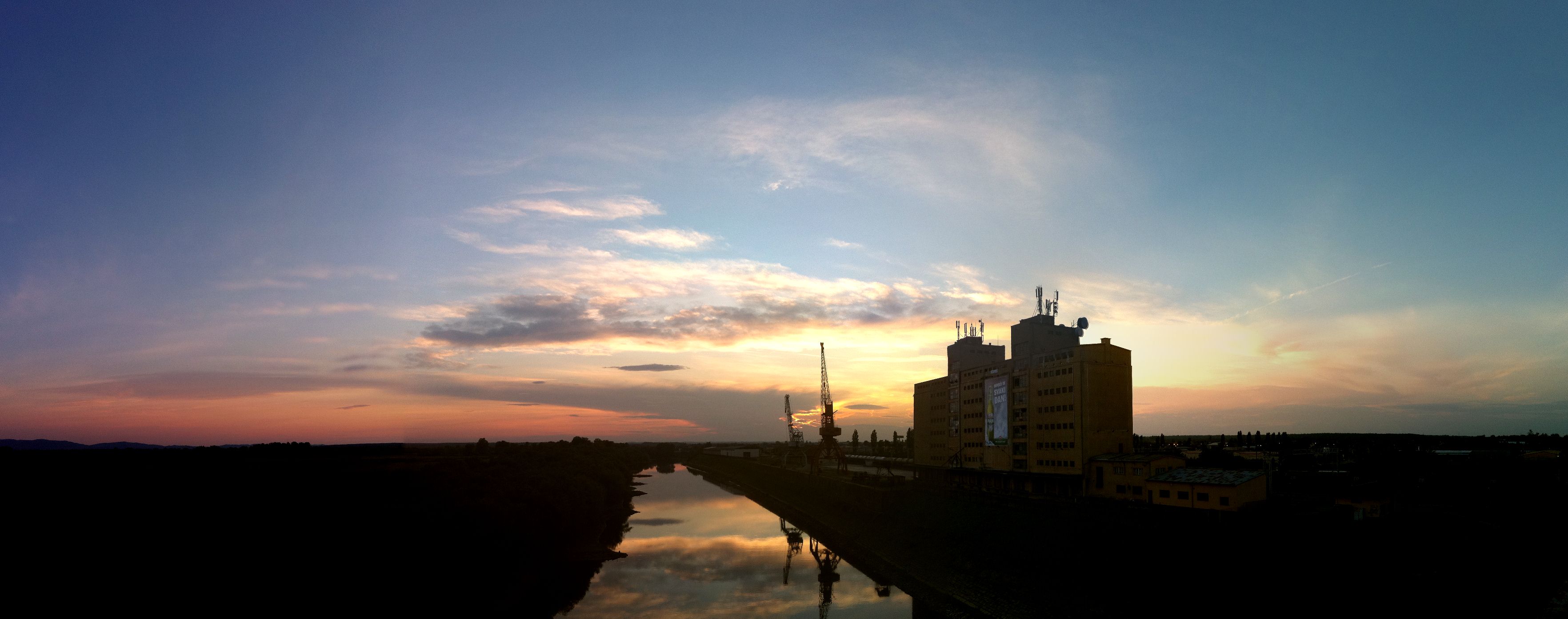
A View from the Bridge

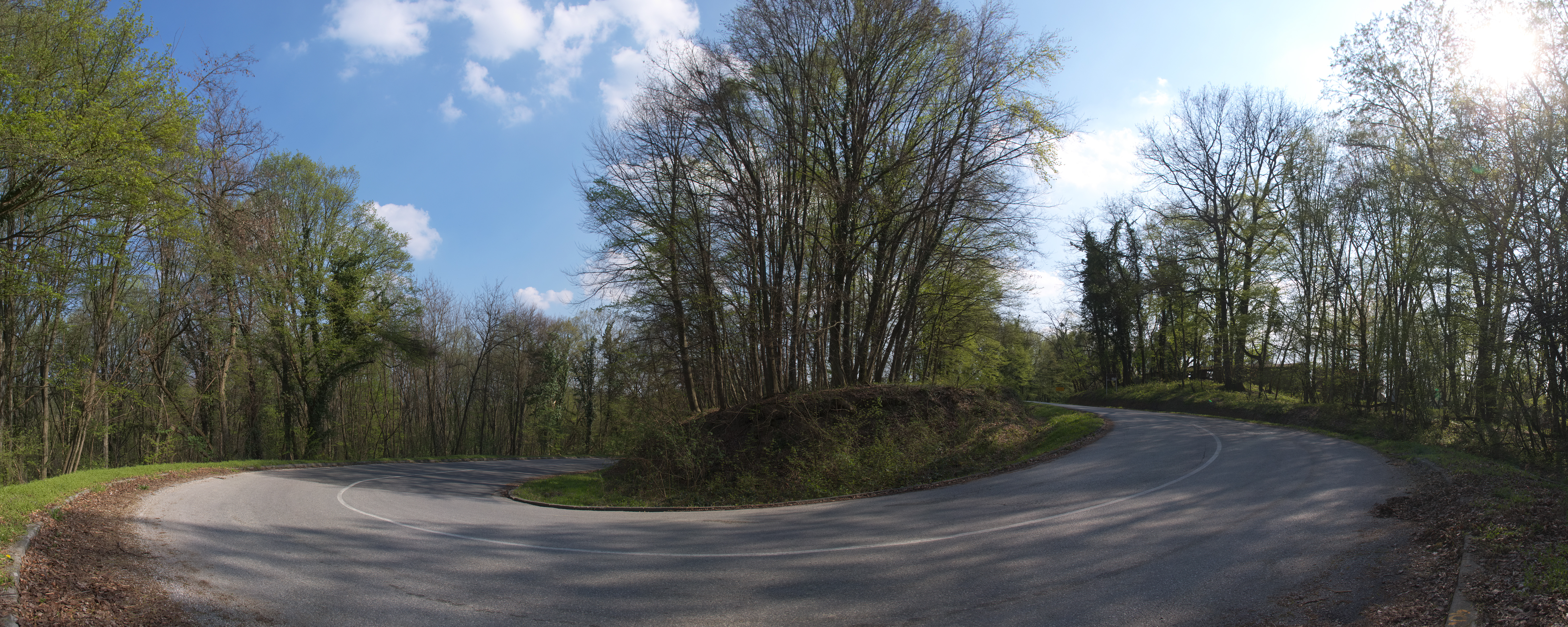
Bicycle diaries 15-007
Bicycle diaries

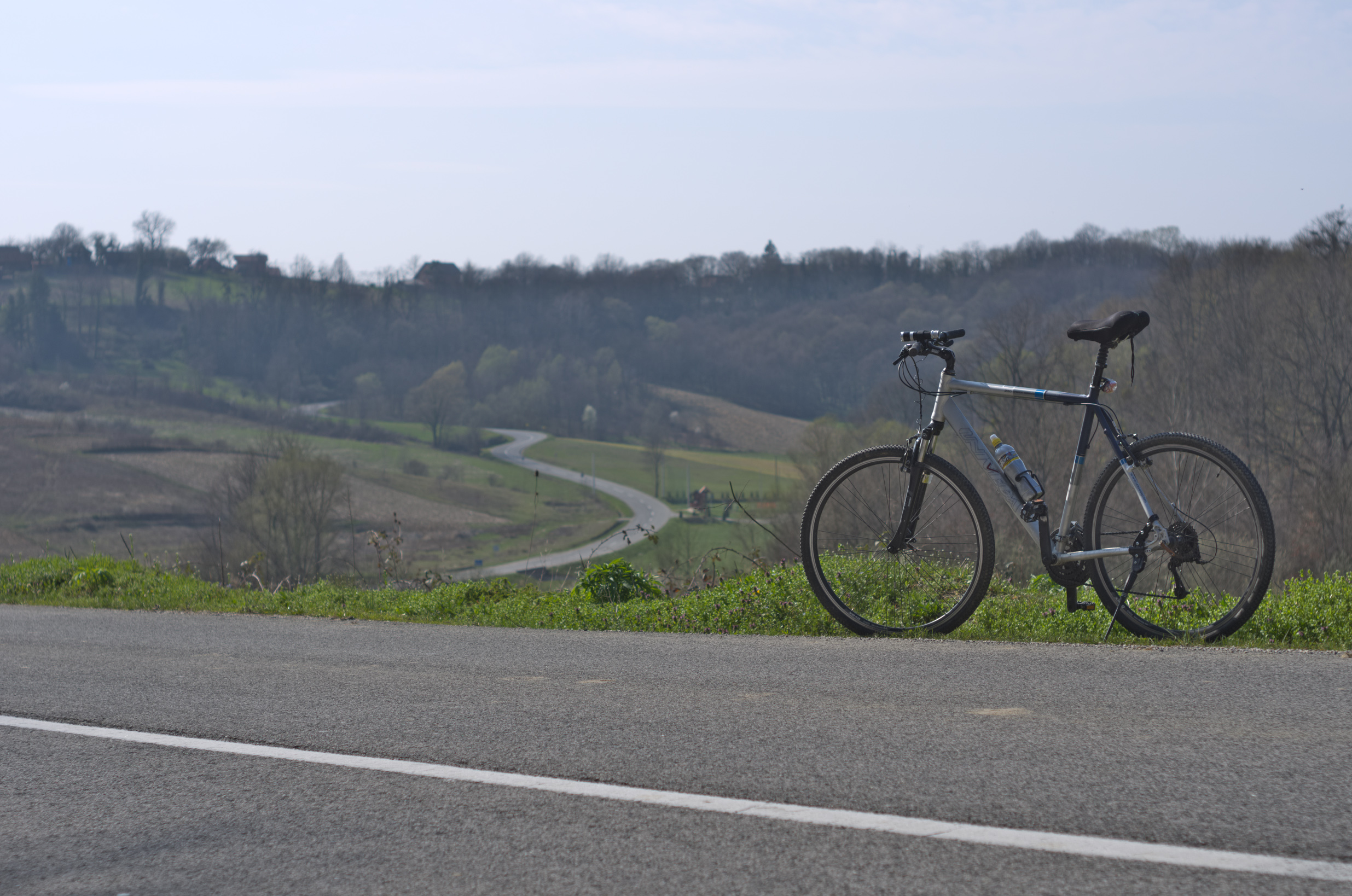
Bicycle diaries 4
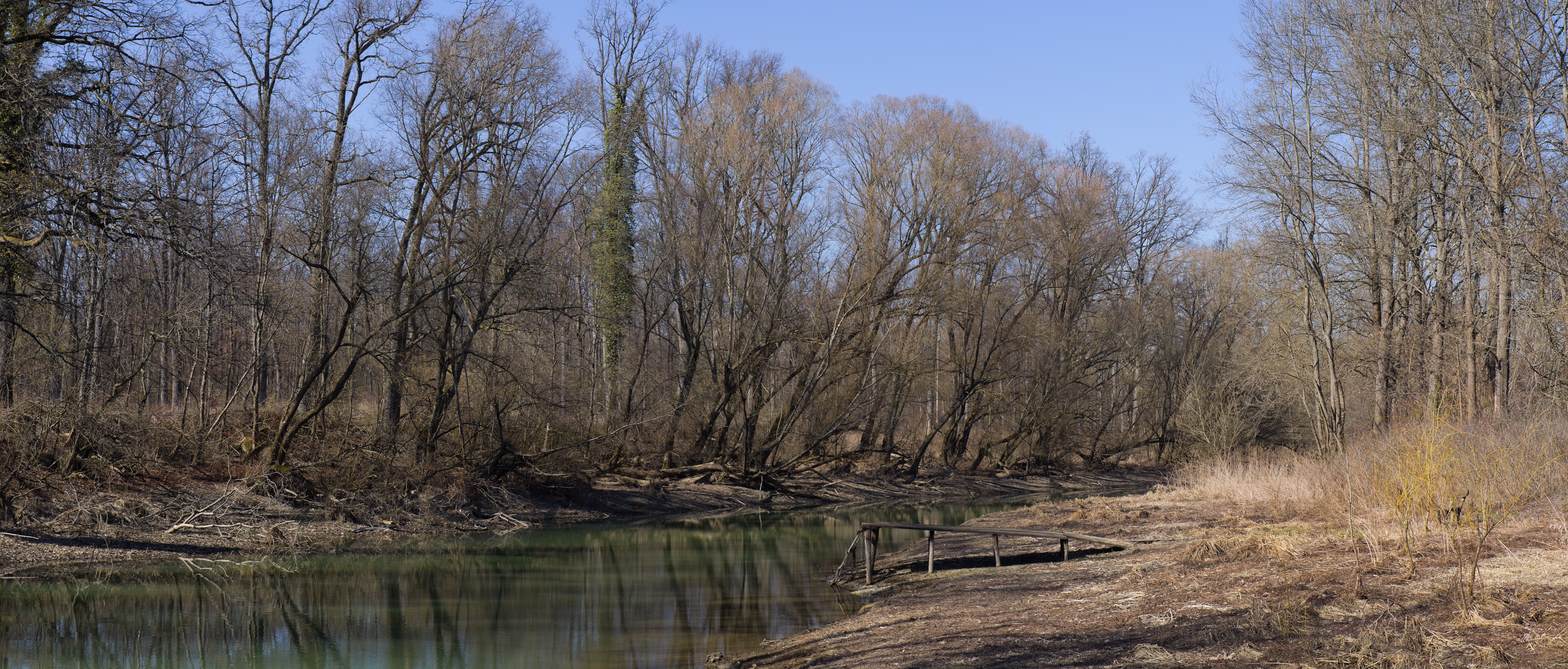
Panorama near Odra river
Bicycle diaries

Petrova gora

111.&112.

May weather, vol 1

March weather vol 1

183.
Topographic Map of Općina Lekenik, Croatia
Find elevation by address:

Places in Općina Lekenik, Croatia:
Places near Općina Lekenik, Croatia:
D36 7, Stari Farkašić, Croatia
Općina Orle
Gladovec Pokupski, Gladovec Pokupski, Croatia
Žitkovčica 45, Žitkovčica, Croatia
Općina Pokupsko
Gladovec Pokupski
Ul. Ivana Šabana 4, Šiljakovina, Croatia
Bukevje, Orle
D31 4, Donje Taborište, Croatia
16f
Sisak
Lukinić Brdo 91, Lukinić Brdo, Croatia
Trpučanska ul. 8, Donji Trpuci, Croatia
Donji Trpuci
Obreška ul., Odranski Obrež, Croatia
Odranski Obrež
Pilates Studio Grain
Sisačka Cesta 17
Ul. Josipa Kozarca 5
Maksimirska Cesta
Recent Searches:
- Elevation of Corso Fratelli Cairoli, 35, Macerata MC, Italy
- Elevation of Tallevast Rd, Sarasota, FL, USA
- Elevation of 4th St E, Sonoma, CA, USA
- Elevation of Black Hollow Rd, Pennsdale, PA, USA
- Elevation of Oakland Ave, Williamsport, PA, USA
- Elevation of Pedrógão Grande, Portugal
- Elevation of Klee Dr, Martinsburg, WV, USA
- Elevation of Via Roma, Pieranica CR, Italy
- Elevation of Tavkvetili Mountain, Georgia
- Elevation of Hartfords Bluff Cir, Mt Pleasant, SC, USA