Elevation of Općina Hrvace, Croatia
Location: Croatia > Split-dalmatia County >
Longitude: 16.6024039
Latitude: 43.8177298
Elevation: 468m / 1535feet
Barometric Pressure: 96KPa
Elevation Map:
Satellite Map:
Related Photos:
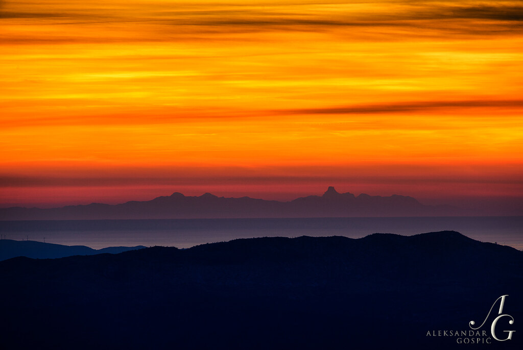
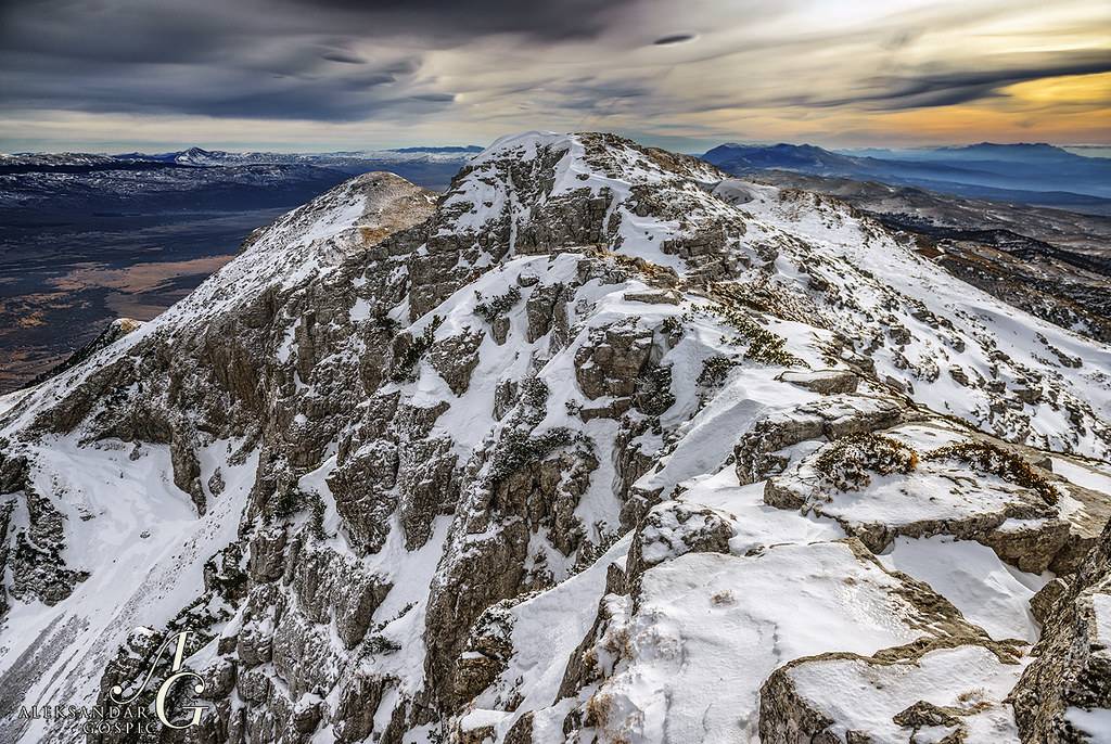
Extending Horizons to the Limit
05-DSC07550
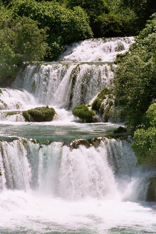
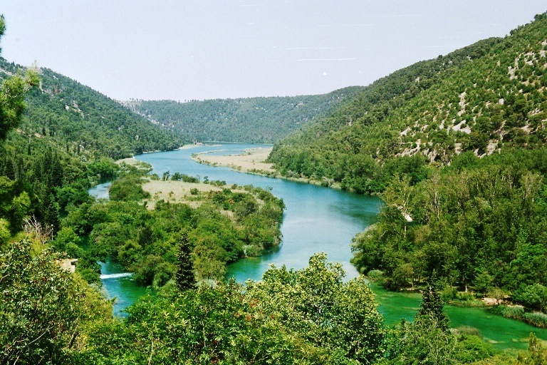
Croatian Waterfall
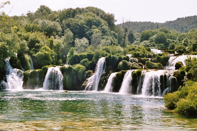
Waterfall in national park Croatia
Aufnahmen-153
Croatian National Park

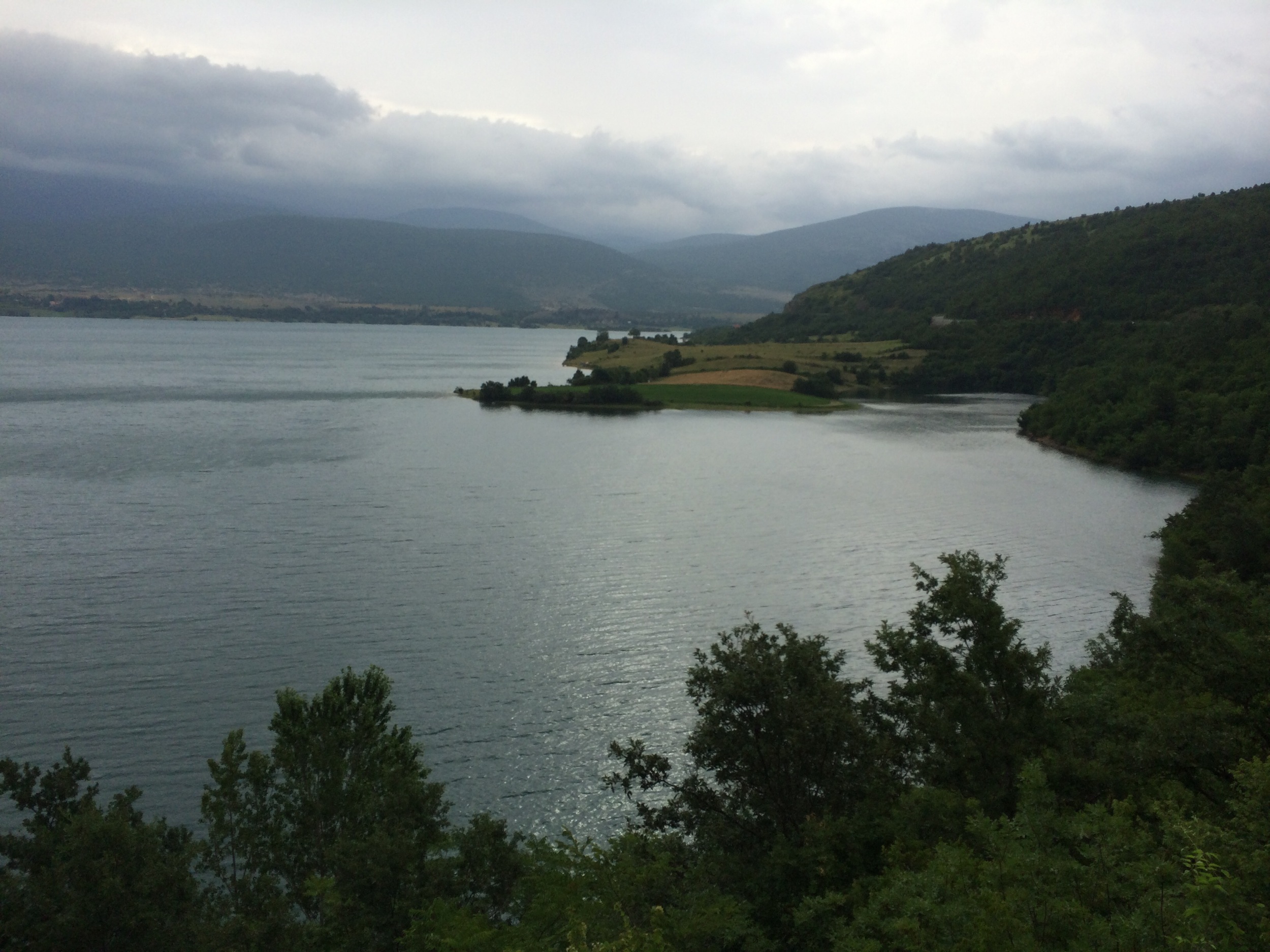
Karakašica, Croatia
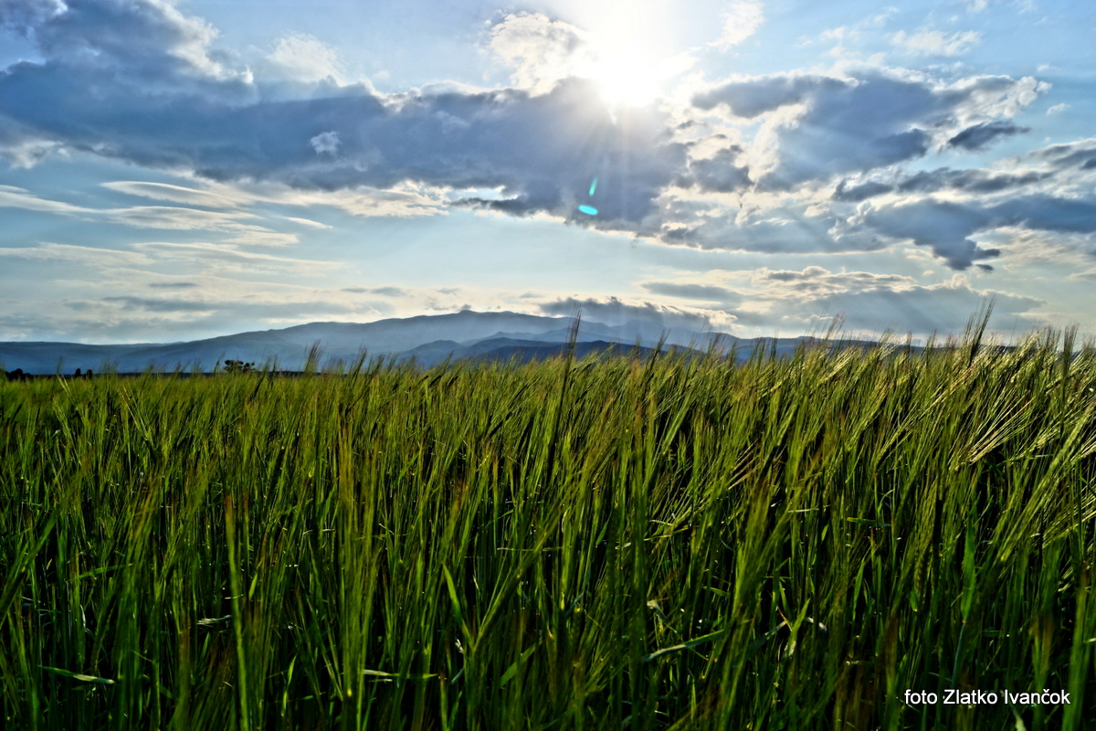
Balkanrunde: Livno - Senj
Worsening Made it Better
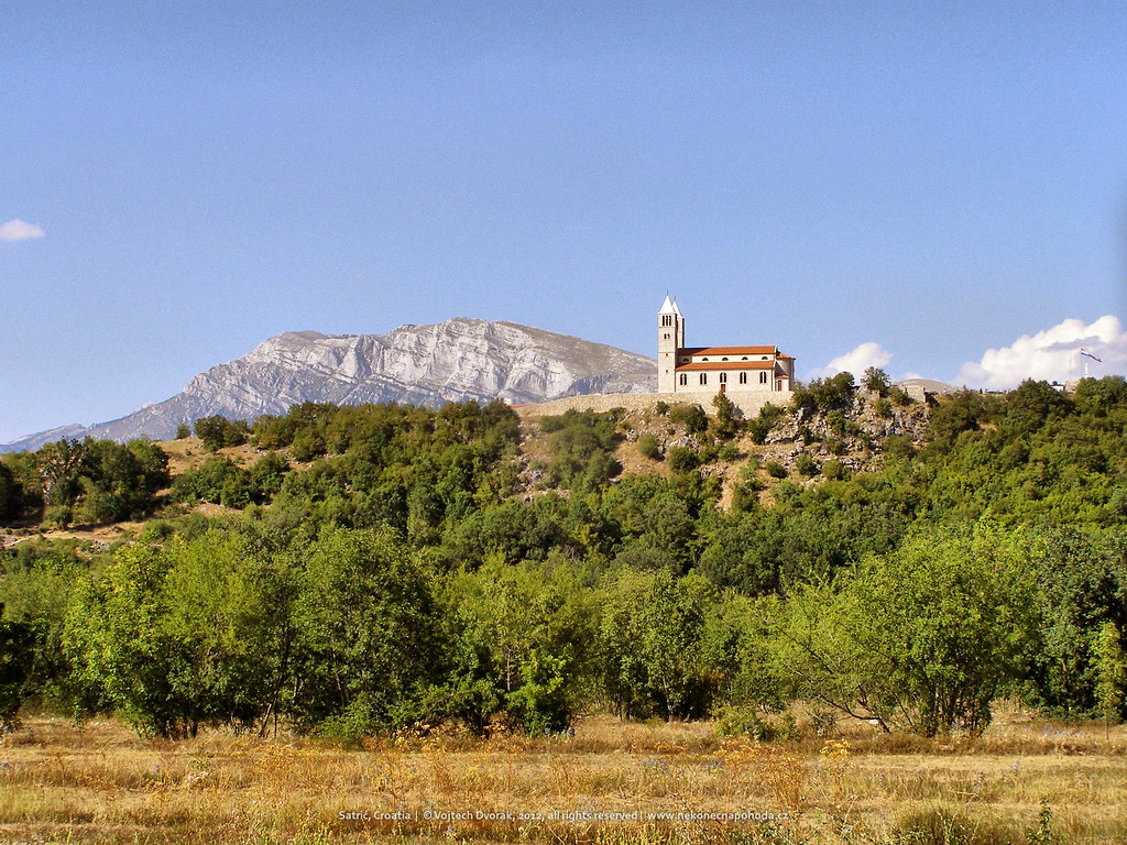
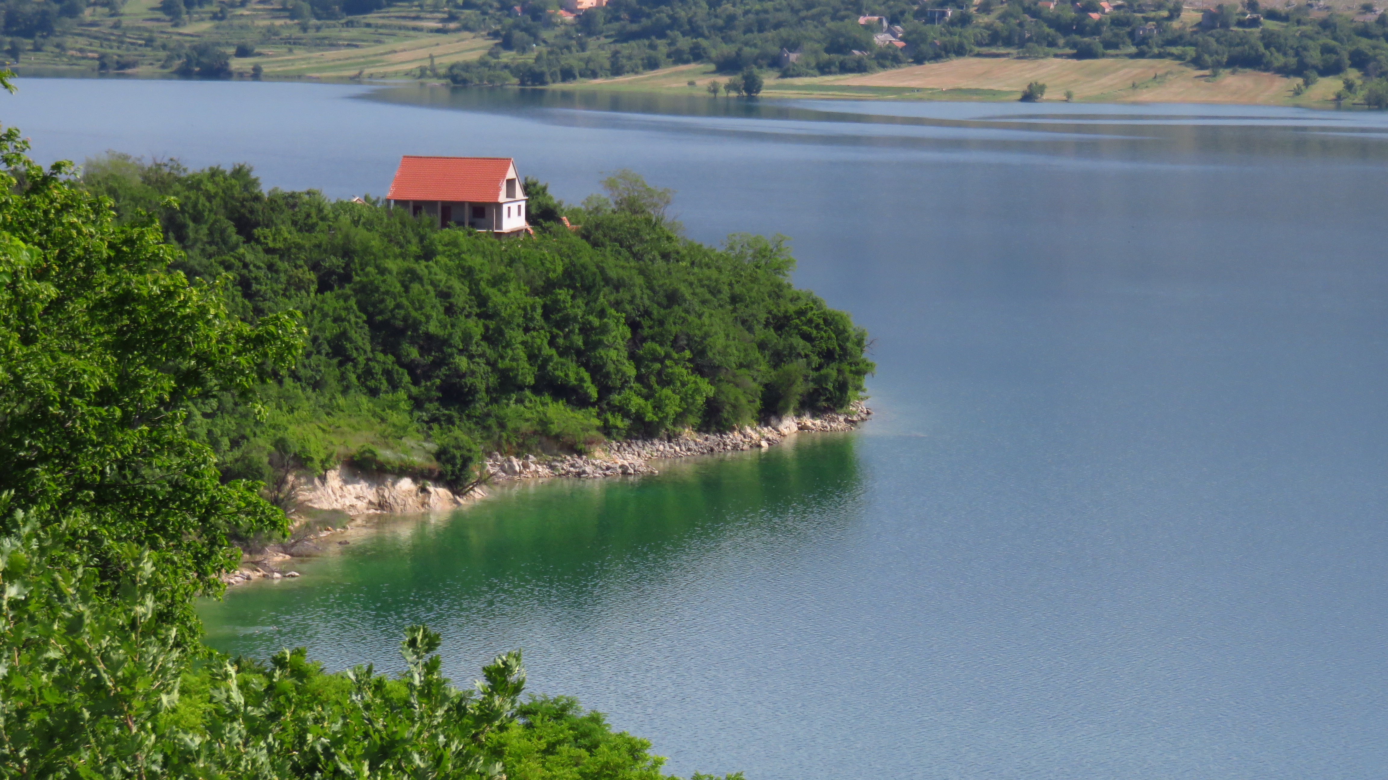
Satrić, Croatia

Sinj City
Topographic Map of Općina Hrvace, Croatia
Find elevation by address:

Places in Općina Hrvace, Croatia:
Places near Općina Hrvace, Croatia:
Potravlje
Svilaja
Dinara
Knin
Šibenik-knin County
Drvar
Krka National Park
Sonković
Bosanski Petrovac
Sanica Gornja
Kljevci
Una-sana Canton
Brestovac, Bosanski Petrovac
Sanski Most
Zadar County
Lake Vrana (dalmatia)
Sveti Rok Tunnel
Općina Lovinac
Općina Pakoštane
Lake Vrana
Recent Searches:
- Elevation of Corso Fratelli Cairoli, 35, Macerata MC, Italy
- Elevation of Tallevast Rd, Sarasota, FL, USA
- Elevation of 4th St E, Sonoma, CA, USA
- Elevation of Black Hollow Rd, Pennsdale, PA, USA
- Elevation of Oakland Ave, Williamsport, PA, USA
- Elevation of Pedrógão Grande, Portugal
- Elevation of Klee Dr, Martinsburg, WV, USA
- Elevation of Via Roma, Pieranica CR, Italy
- Elevation of Tavkvetili Mountain, Georgia
- Elevation of Hartfords Bluff Cir, Mt Pleasant, SC, USA