Elevation of Ontario, ON-, Ontario, Canada
Location: Canada > Ontario > Nipissing District > West Nipissing >
Longitude: -80.206567
Latitude: 46.5522119
Elevation: 258m / 846feet
Barometric Pressure: 98KPa
Elevation Map:
Satellite Map:
Related Photos:
Age
IMG_20180721_221251_551
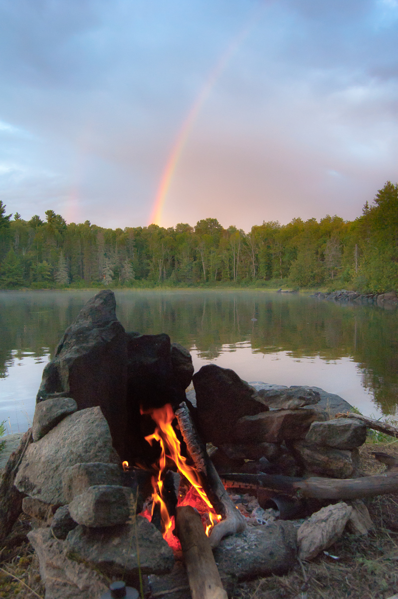
Fire and Rainbows
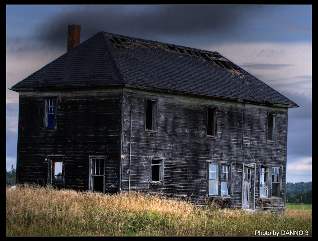
CENTURY OLD-Abandoned farm house
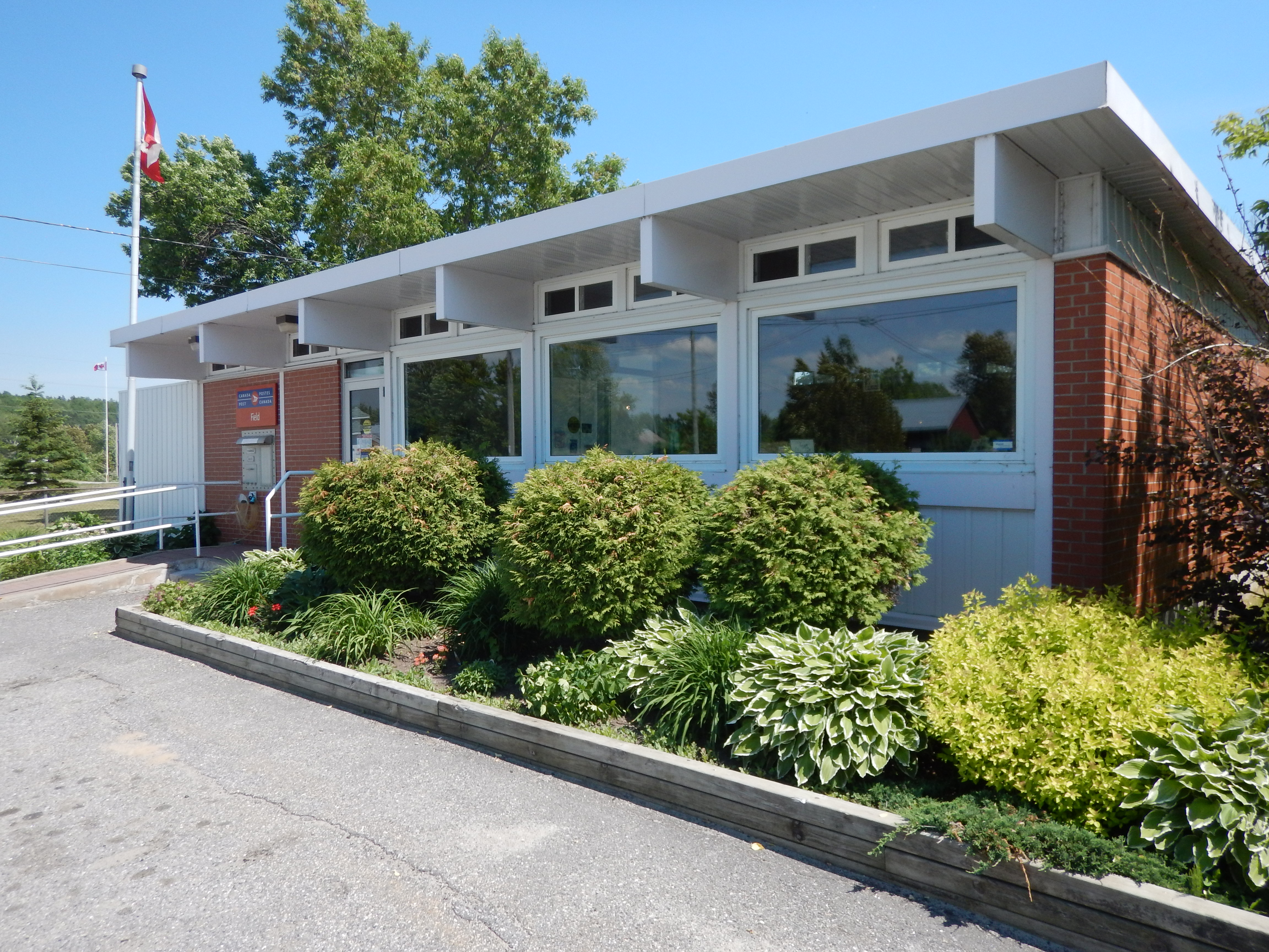
Field, ON
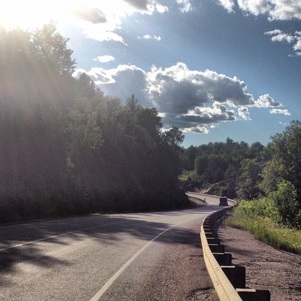
Highway 64, a great find @ridethenorth
Topographic Map of Ontario, ON-, Ontario, Canada
Find elevation by address:

Places near Ontario, ON-, Ontario, Canada:
Norland Rd, Verner, ON P0H 2M0, Canada
822 On-539
19 College St
428 Lacoste Rd
P0m 1x0
Ratter Lake Campground
Markstay-warren
P0m 2g0
737 Maclean Rd
7 Park Dr
Trans-Canada Hwy, Wahnapitae, ON P0M 3C0, Canada
Corner Mill Rd, Chelmsford, ON P0M 1L0, Canada
948 On-537
Wahnapitae
Greater Sudbury Airport
Finni Road
Falconbridge
5 Parkinson St, Falconbridge, ON P0M 1S0, Canada
Coniston
Garson
Recent Searches:
- Elevation of Corso Fratelli Cairoli, 35, Macerata MC, Italy
- Elevation of Tallevast Rd, Sarasota, FL, USA
- Elevation of 4th St E, Sonoma, CA, USA
- Elevation of Black Hollow Rd, Pennsdale, PA, USA
- Elevation of Oakland Ave, Williamsport, PA, USA
- Elevation of Pedrógão Grande, Portugal
- Elevation of Klee Dr, Martinsburg, WV, USA
- Elevation of Via Roma, Pieranica CR, Italy
- Elevation of Tavkvetili Mountain, Georgia
- Elevation of Hartfords Bluff Cir, Mt Pleasant, SC, USA