Elevation of Oneida County, ID, USA
Location: United States > Idaho >
Longitude: -112.52450
Latitude: 42.2059769
Elevation: 1723m / 5653feet
Barometric Pressure: 82KPa
Elevation Map:
Satellite Map:
Related Photos:

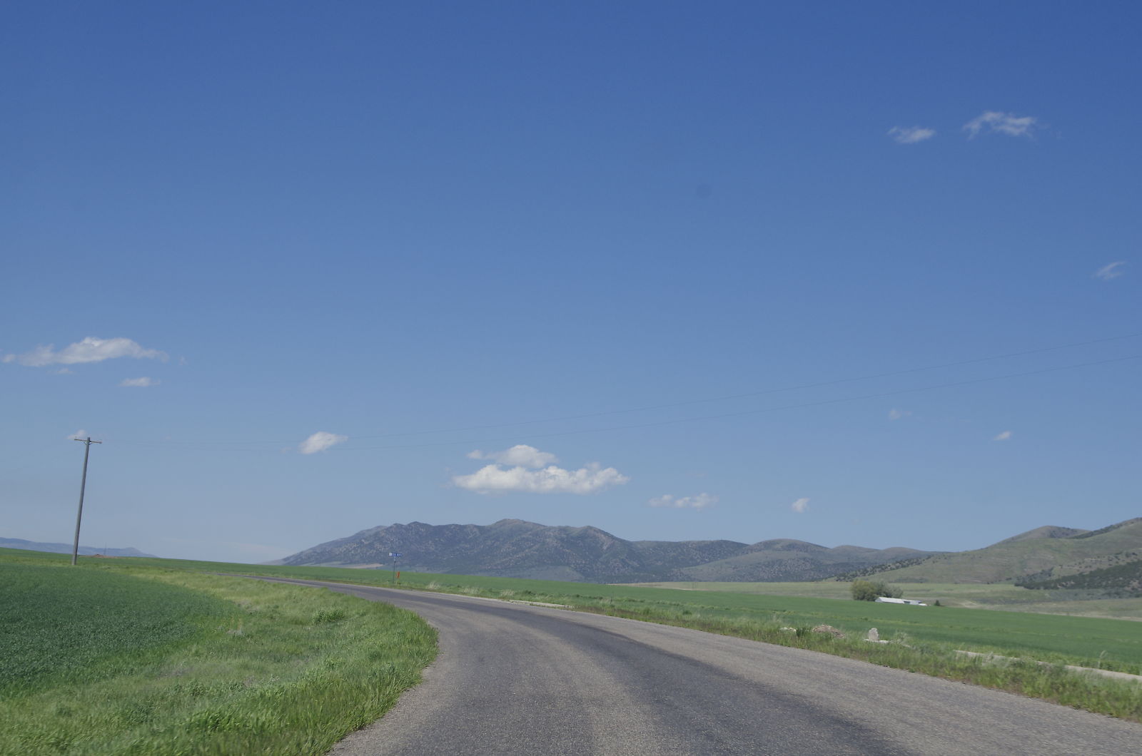
_K5P7145.JPG

USA 2011.

USA 2011.
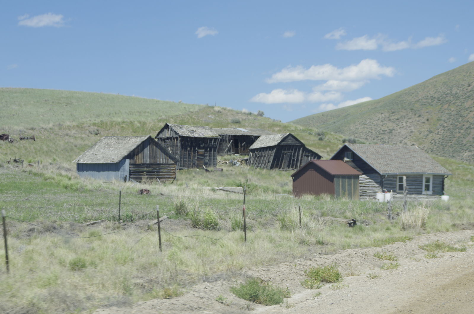
_K5P7146.JPG
_K5P7144.JPG

Daily 2013: 5/4/2013
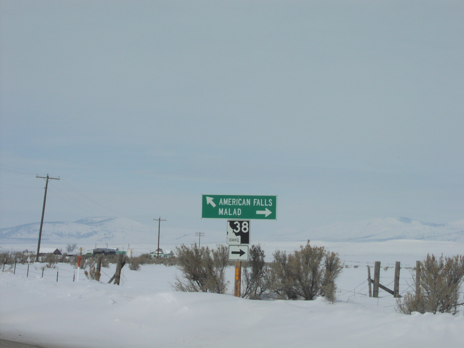
Begin ID-38 in Holbrook
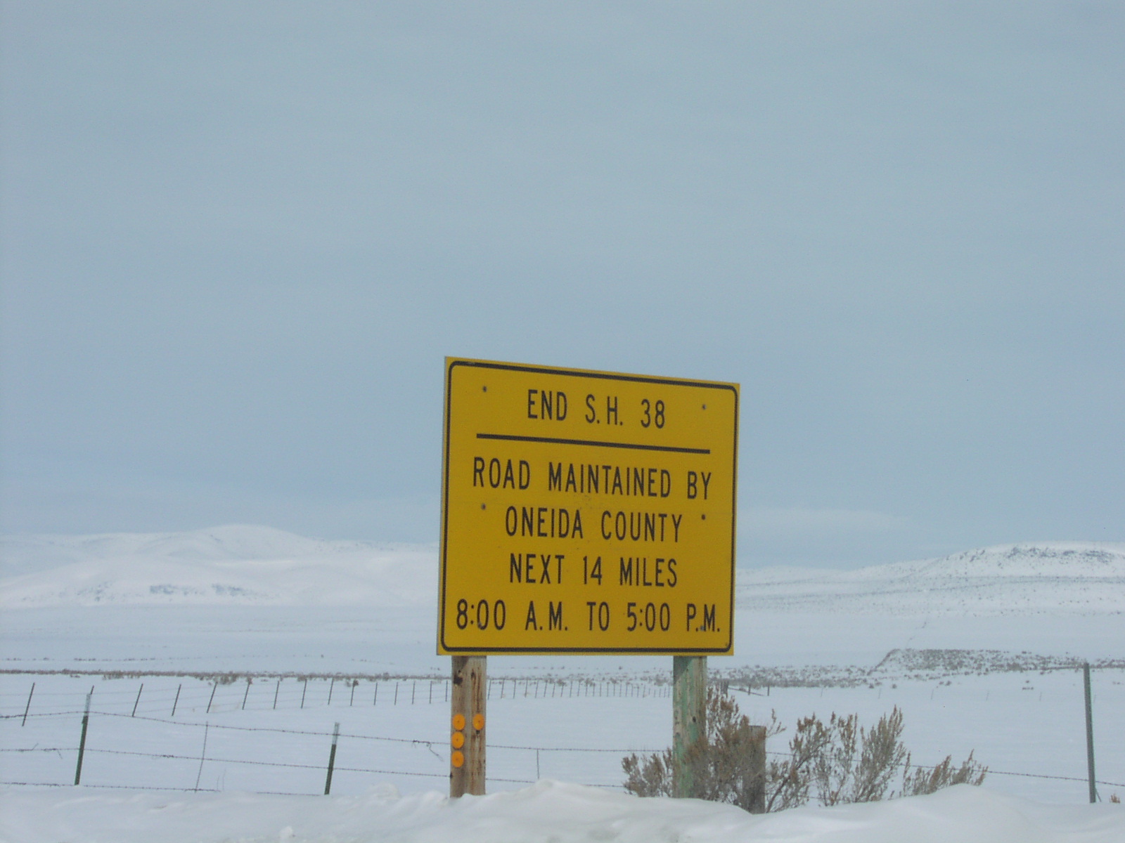
End ID-38 in Holbrook
Topographic Map of Oneida County, ID, USA
Find elevation by address:

Places near Oneida County, ID, USA:
S Main St, Rockland, ID, USA
Rockland
Power County
Sublett
Heglar Canyon Rd, Idaho, USA
South 2450 East
Aberdeen
S E Rd, Malta, ID, USA
S W, Aberdeen, ID, USA
1380 S 2300 E
Malta
Sterling
W S, Sterling, ID, USA
W S, Springfield, ID, USA
Springfield
Pingree
S W, Pingree, ID, USA
W S, Blackfoot, ID, USA
ID-77, Malta, ID, USA
ID-39, Blackfoot, ID, USA
Recent Searches:
- Elevation of Corso Fratelli Cairoli, 35, Macerata MC, Italy
- Elevation of Tallevast Rd, Sarasota, FL, USA
- Elevation of 4th St E, Sonoma, CA, USA
- Elevation of Black Hollow Rd, Pennsdale, PA, USA
- Elevation of Oakland Ave, Williamsport, PA, USA
- Elevation of Pedrógão Grande, Portugal
- Elevation of Klee Dr, Martinsburg, WV, USA
- Elevation of Via Roma, Pieranica CR, Italy
- Elevation of Tavkvetili Mountain, Georgia
- Elevation of Hartfords Bluff Cir, Mt Pleasant, SC, USA