Elevation of Oltepesi, Kenya
Location: Kenya > Kajiado County >
Longitude: 36.4310251
Latitude: -1.5644065
Elevation: 1013m / 3323feet
Barometric Pressure: 90KPa
Elevation Map:
Satellite Map:
Related Photos:
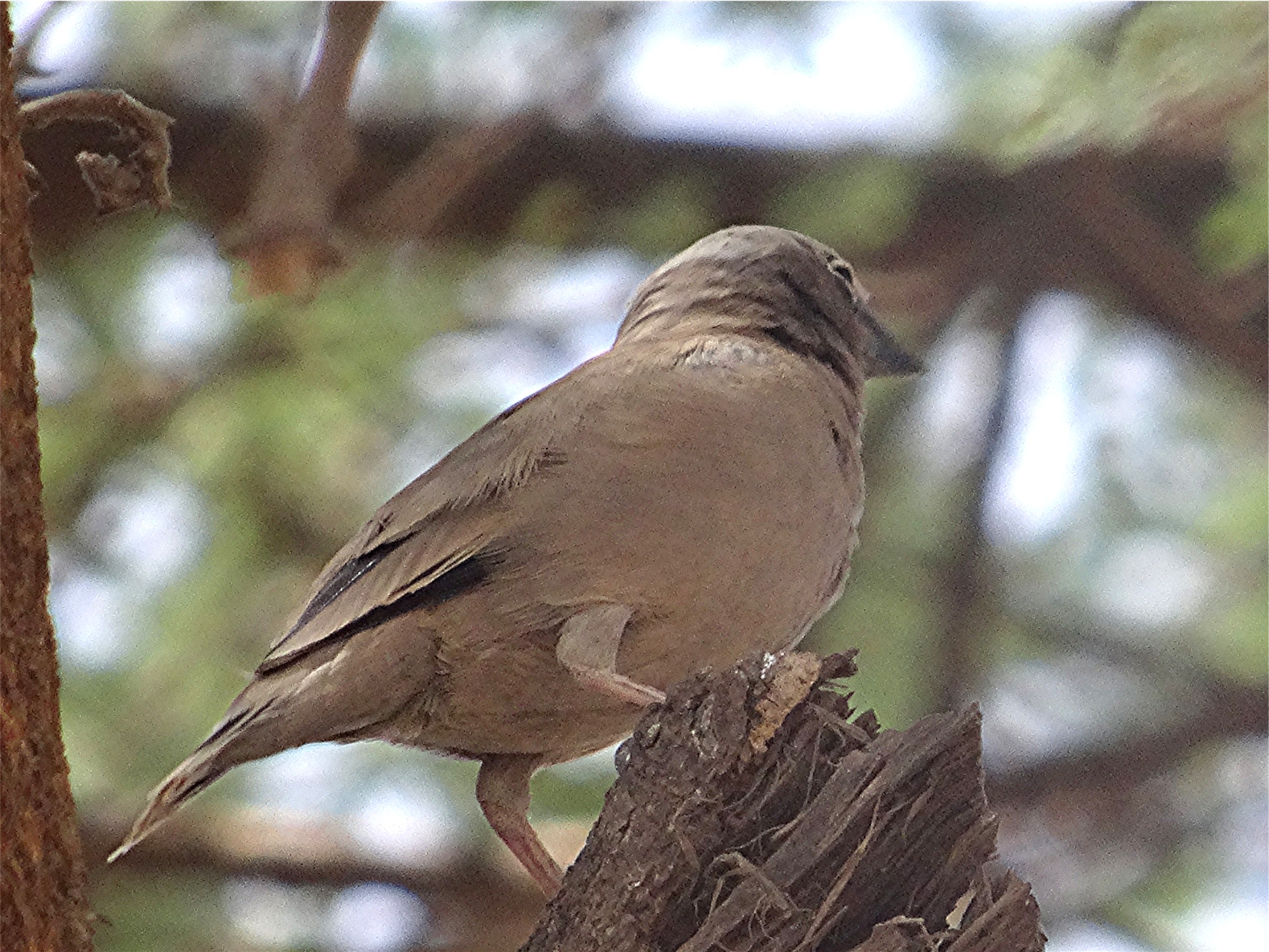
Marmor-Spätzling - Pseudonigrita arnaudi, NGIDn1869430965
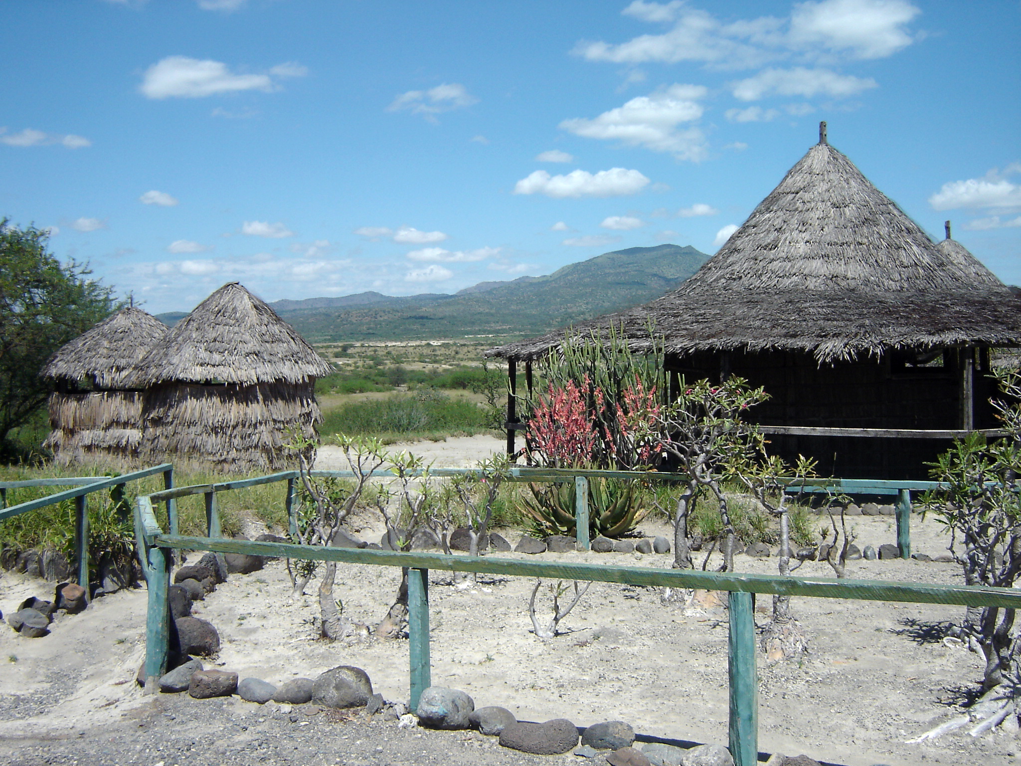
Huts at Olorgesailie
Topographic Map of Oltepesi, Kenya
Find elevation by address:

Places near Oltepesi, Kenya:
Magadi
Koora
Ole Seni
Oldonyo Sambu
Olarro
Lake Natron
Porini Mara Camp
Longido
Nkoilale
Masai Mara National Reserve
Sarova Mara Game Camp - Masai Mara
Arusha
Basecamp Masai Mara
Sekenani
Ol Doinyo Lengai
Lobo Wildlife Lodge
Lobo Airstrip
Recent Searches:
- Elevation of Corso Fratelli Cairoli, 35, Macerata MC, Italy
- Elevation of Tallevast Rd, Sarasota, FL, USA
- Elevation of 4th St E, Sonoma, CA, USA
- Elevation of Black Hollow Rd, Pennsdale, PA, USA
- Elevation of Oakland Ave, Williamsport, PA, USA
- Elevation of Pedrógão Grande, Portugal
- Elevation of Klee Dr, Martinsburg, WV, USA
- Elevation of Via Roma, Pieranica CR, Italy
- Elevation of Tavkvetili Mountain, Georgia
- Elevation of Hartfords Bluff Cir, Mt Pleasant, SC, USA