Elevation of Oloitokitok, Kenya
Location: Kenya > Kajiado County >
Longitude: 37.508143
Latitude: -2.924797
Elevation: -10000m / -32808feet
Barometric Pressure: 295KPa
Elevation Map:
Satellite Map:
Related Photos:
Mawenzi, view from Kikelelwa camp, Kilimanjaro NP, Tanzania

Kibo view , Highest point of Kilimanjaro NP from Kikelelwa camp, Tanzania

Kibo view, Highest point of Kilimanjaro NP, Tanzania

Views ofthe North side of Mt. Kilimanjaro from the air. We were up to 12000 feet altitude of a 19000 foot mountain
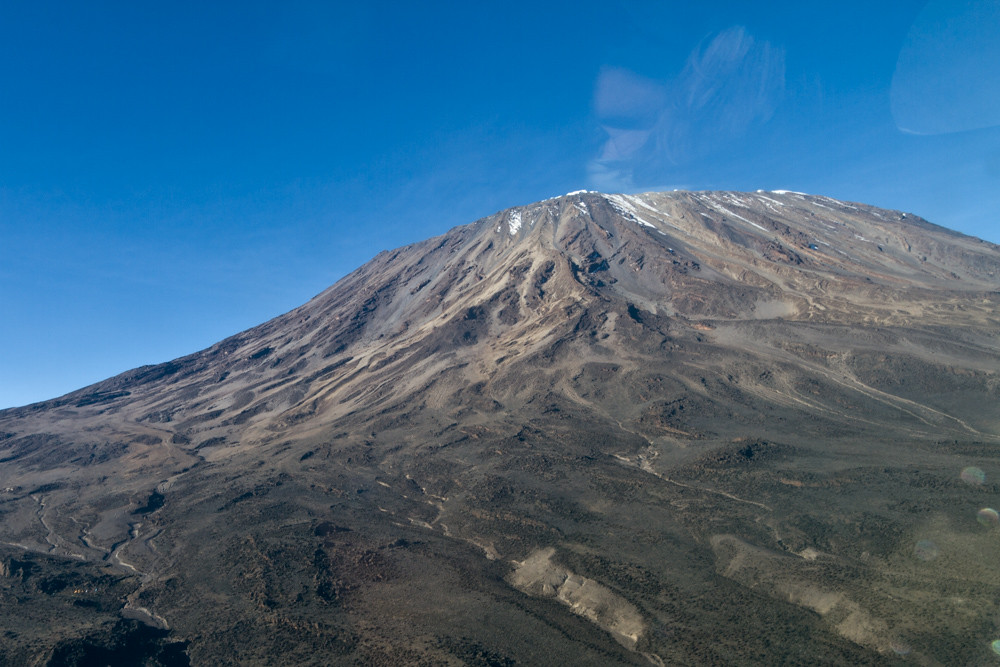
Views ofthe North side of Mt. Kilimanjaro from the air. We were up to 12000 feet altitude of a 19000 foot mountain

Kibo view, Highest point of Kilimanjaro NP at sunrise, Tanzania

Mount Kilimanjaro View from the Sarova Lodge
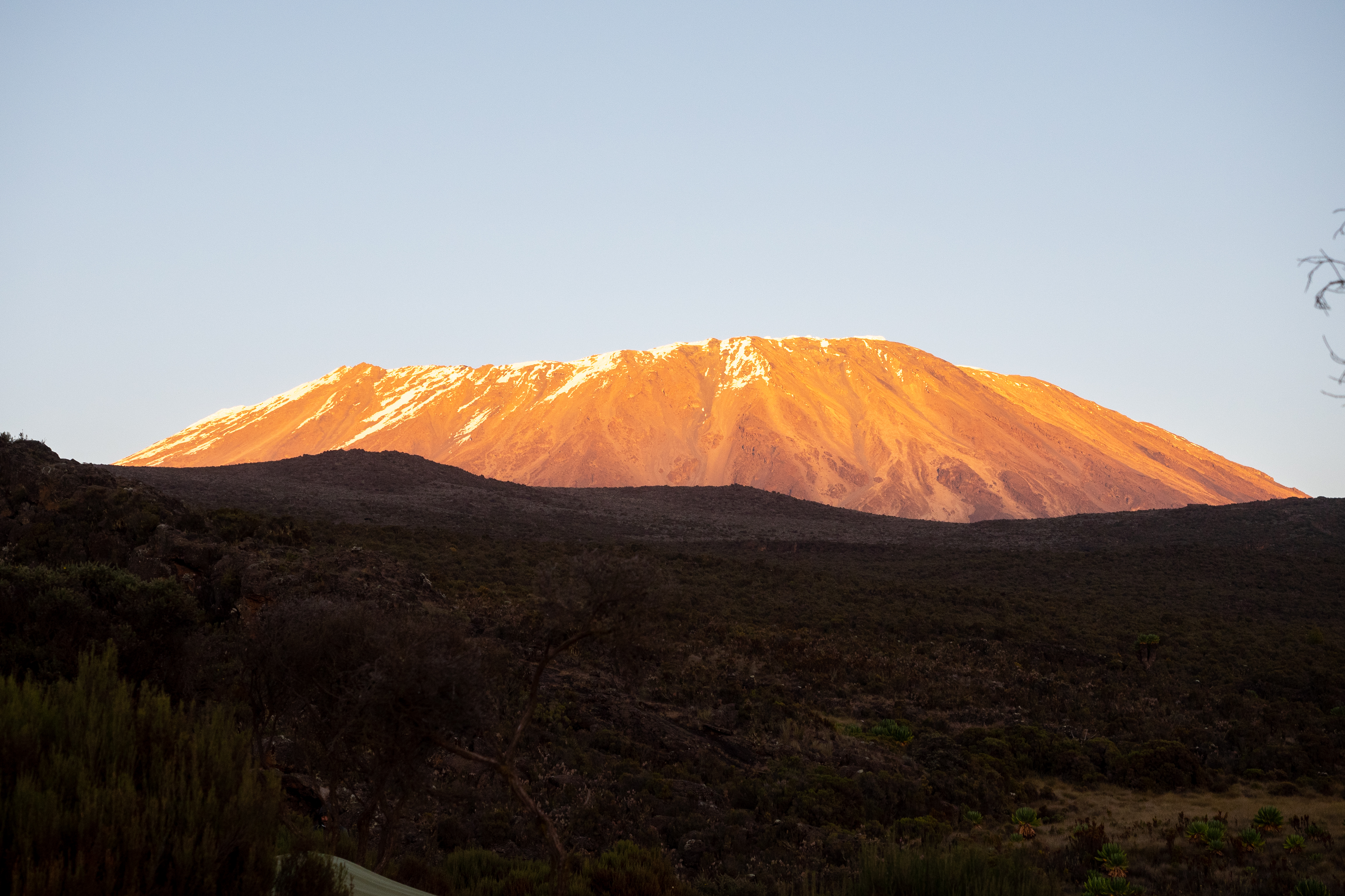
Kibo view, Highest point of Kilimanjaro NP at sunset, Tanzania

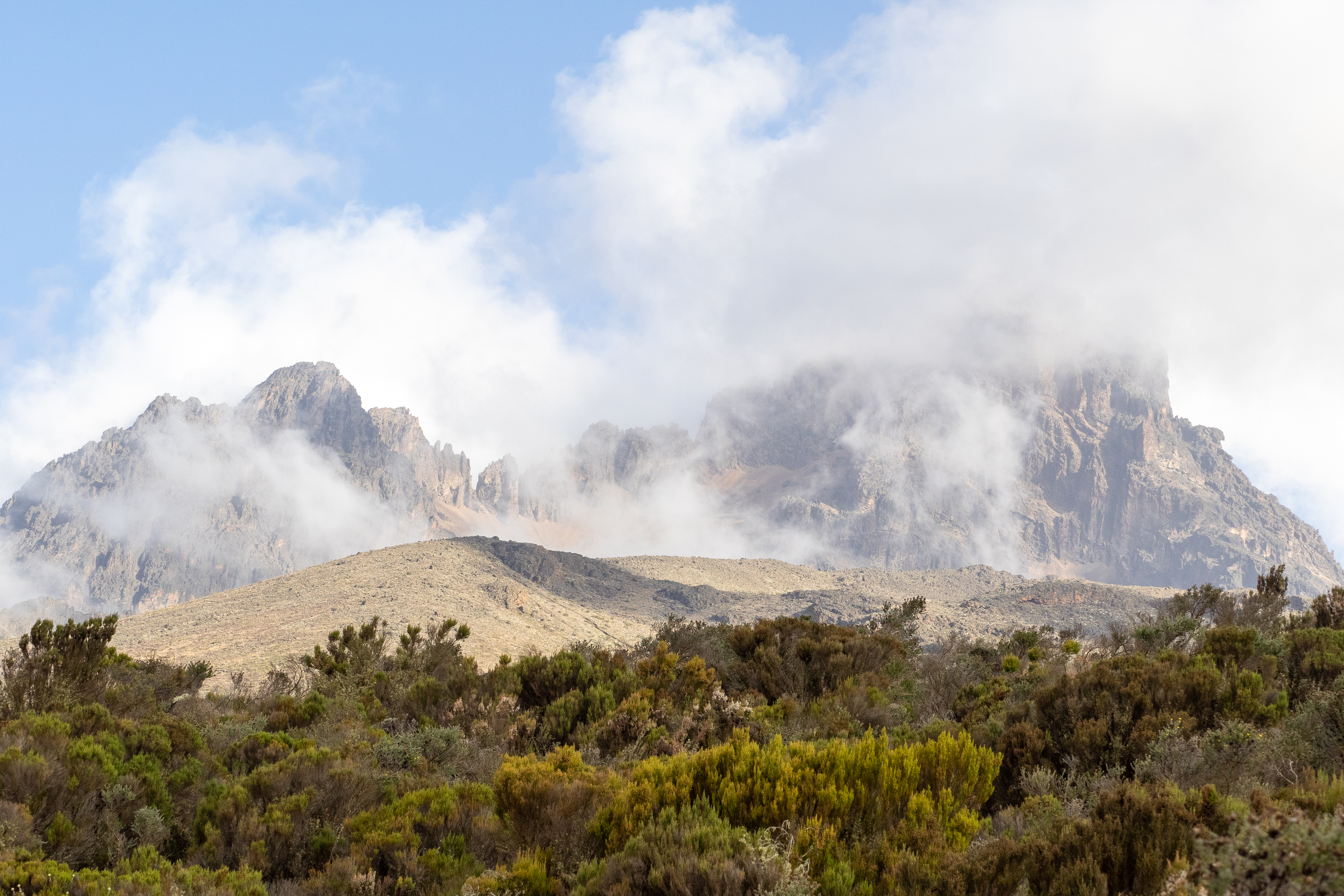
View of Mawenzi, Kilimanjaro NP, Tanzania

Views ofthe North side of Mt. Kilimanjaro from the air. We were up to 12000 feet altitude of a 19000 foot mountain

Views ofthe North side of Mt. Kilimanjaro from the air. We were up to 12000 feet altitude of a 19000 foot mountain

Views ofthe North side of Mt. Kilimanjaro from the air. We were up to 12000 feet altitude of a 19000 foot mountain

Views ofthe North side of Mt. Kilimanjaro from the air. We were up to 12000 feet altitude of a 19000 foot mountain

Views ofthe North side of Mt. Kilimanjaro from the air. We were up to 12000 feet altitude of a 19000 foot mountain
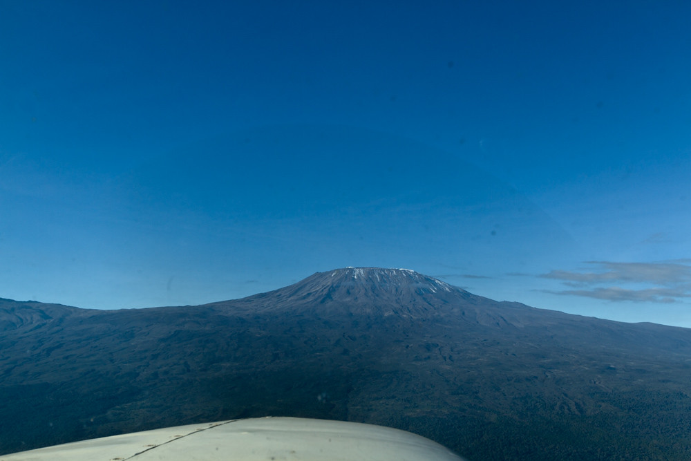
Views ofthe North side of Mt. Kilimanjaro from the air. We were up to 12000 feet altitude of a 19000 foot mountain

Views ofthe North side of Mt. Kilimanjaro from the air. We were up to 12000 feet altitude of a 19000 foot mountain

Views ofthe North side of Mt. Kilimanjaro from the air. We were up to 12000 feet altitude of a 19000 foot mountain

Kibo seen from Simba Camp

Views ofthe North side of Mt. Kilimanjaro from the air. We were up to 12000 feet altitude of a 19000 foot mountain

First view of Kibo
a postcard from Amboseli

Amboseli-Elephants_IGP1782

Mount Kilimanjaro (Morning Light)

Kilimanjaro - and some clouds...

At sun rise - very cold - day 4

DSC04943.JPG

Mount Kilimanjaro

093-IMG_7028

How far can Mawenzi be! - Day 3

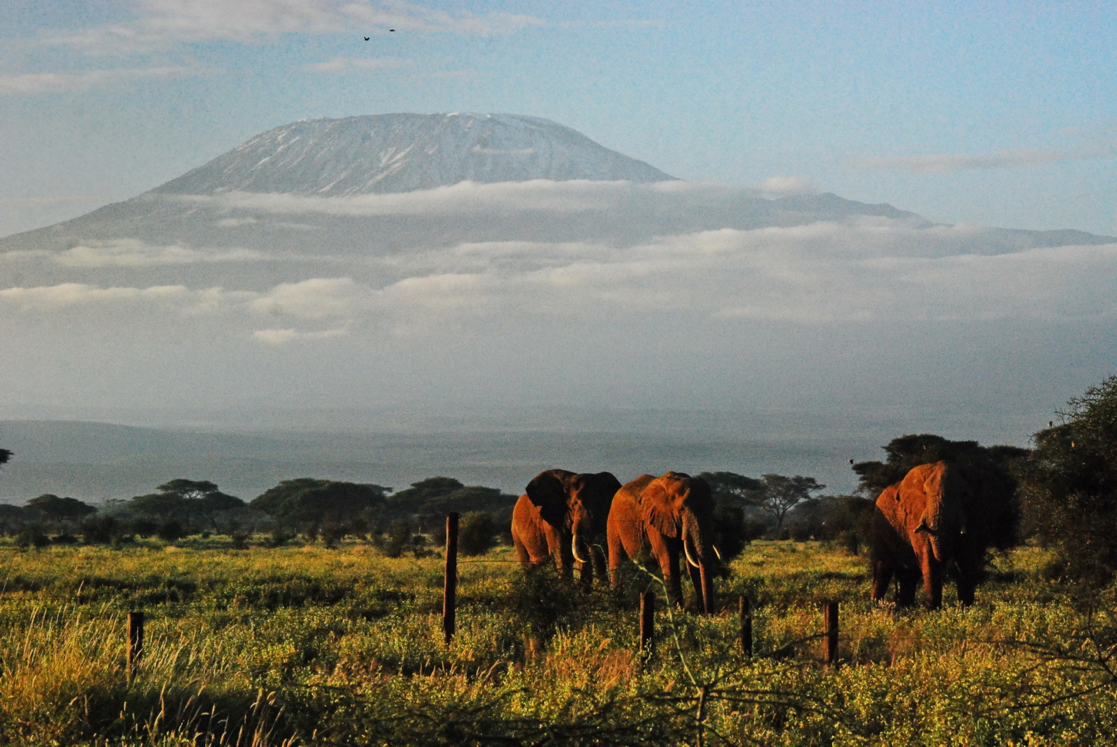
Parque #Amboseli #Kenia junto a la frontera de #Tanzania. Manada de #Elefantes con el #Kilimanjaro al fondo #Viajes
Topographic Map of Oloitokitok, Kenya
Find elevation by address:

Places near Oloitokitok, Kenya:
Loitokitok Post Office
Motamburu Kitendeni
Kibo Hut - School Hut Trail
Mount Kilimanjaro
Barafu Camp
Horombo Huts
Katangara Mrere
Karanga Camp
Rombo
Barranco Camp
Mandara Huts
Shira Camp
Machame Camp
Shira
Ol Molog
Mamba Kaskazini
Kibosho Mashariki
Marangu
Marangu Gate
Okaoni Secondary School
Recent Searches:
- Elevation of Corso Fratelli Cairoli, 35, Macerata MC, Italy
- Elevation of Tallevast Rd, Sarasota, FL, USA
- Elevation of 4th St E, Sonoma, CA, USA
- Elevation of Black Hollow Rd, Pennsdale, PA, USA
- Elevation of Oakland Ave, Williamsport, PA, USA
- Elevation of Pedrógão Grande, Portugal
- Elevation of Klee Dr, Martinsburg, WV, USA
- Elevation of Via Roma, Pieranica CR, Italy
- Elevation of Tavkvetili Mountain, Georgia
- Elevation of Hartfords Bluff Cir, Mt Pleasant, SC, USA