Elevation of Olivehill, TN, USA
Location: United States > Tennessee > Hardin County >
Longitude: -88.032251
Latitude: 35.2739673
Elevation: 168m / 551feet
Barometric Pressure: 99KPa
Elevation Map:
Satellite Map:
Related Photos:

Grandpa Teddy
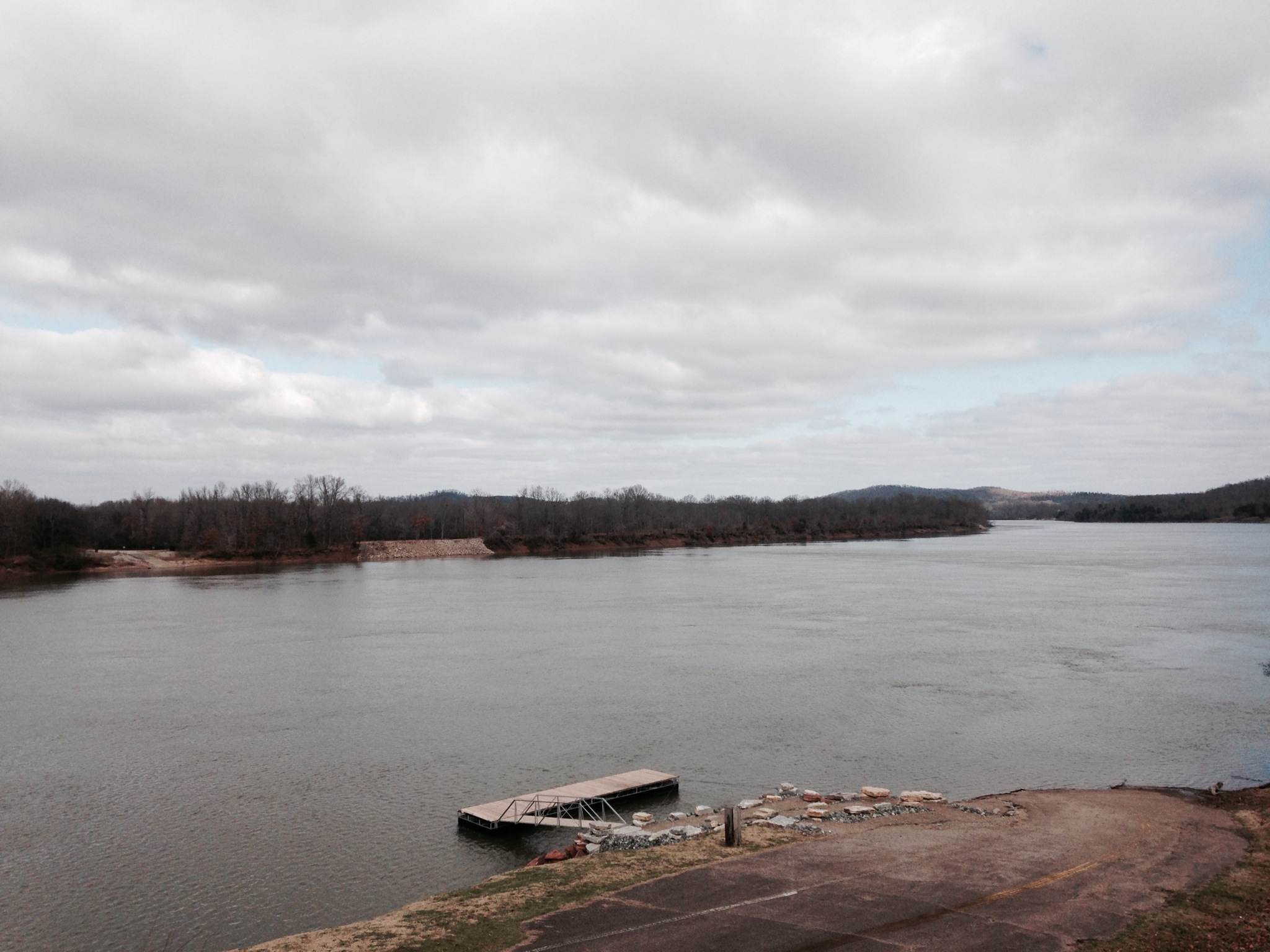
Old docks from the Clifton Ferry

Before the rain came

Old Bridge near Adamsville, TN

Rich's Roadside Market

Old store bldg

Tennessee Barn

にゃーん

榴蓮

USPS - Clifton, TN

Tennessee River
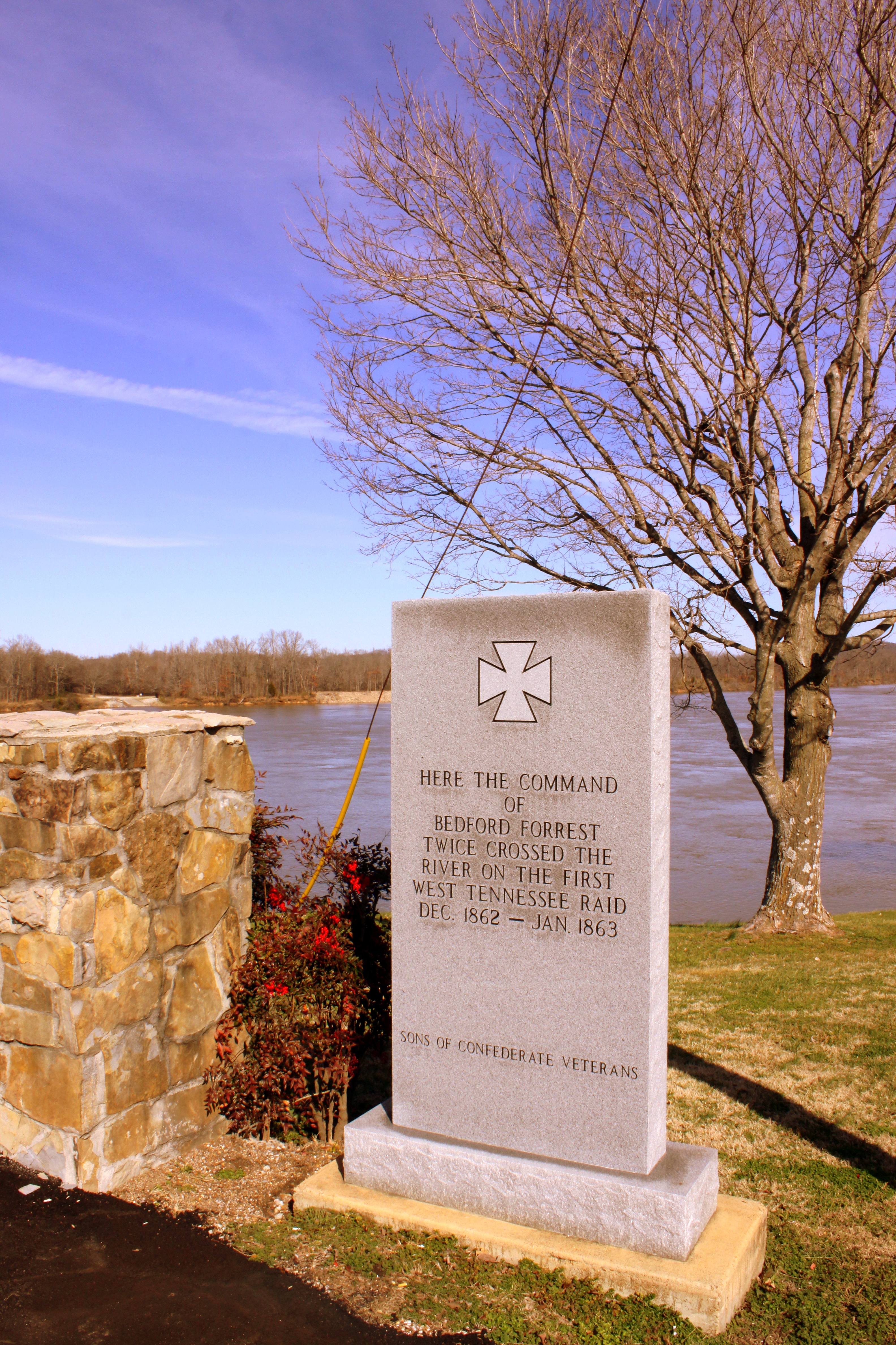
Where Forrest Crossed the Tennessee River

Neat house - Clifton, TN
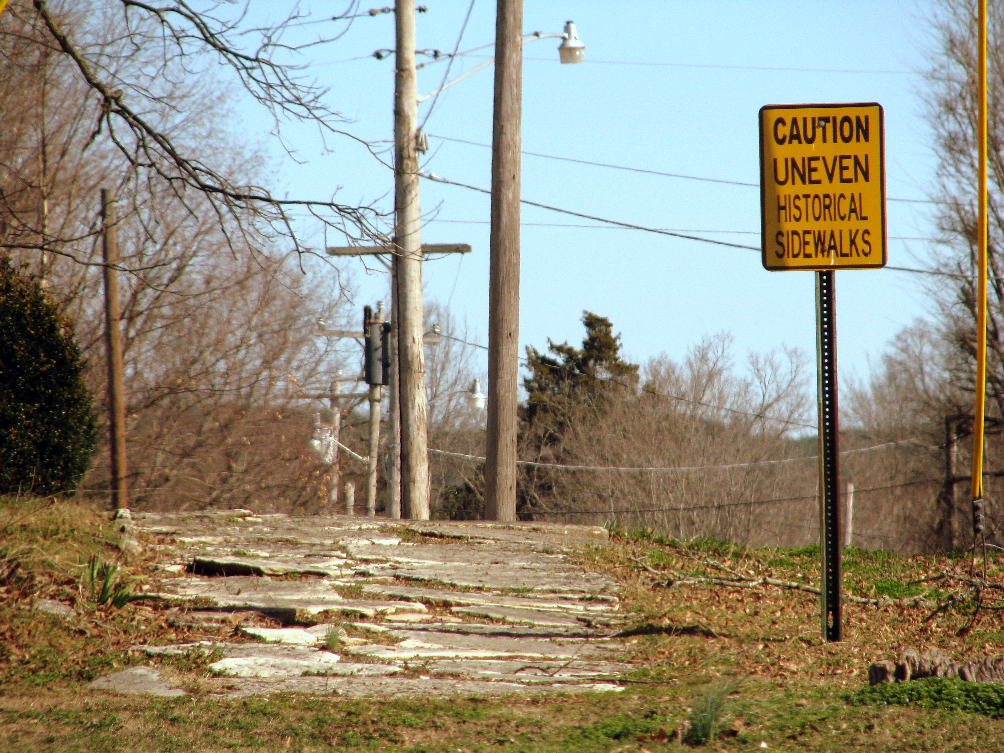
Caution Uneven Historical Sidewalks

Clifton First Presbyterian Church

Cumberland University 2008 Golf TEAM

GUY 1
Topographic Map of Olivehill, TN, USA
Find elevation by address:

Places in Olivehill, TN, USA:
Places near Olivehill, TN, USA:
Coy Hill Country Store
5675 Creek Ridge Rd
5370 Creek Ridge Rd
5000 Creek Ridge Rd
4870 Creek Ridge Rd
4870 Creek Ridge Rd
733 Reed Ln
Piney Grove Loop, Olivehill, TN, USA
Wise Way, Olivehill, TN, USA
TN-, Savannah, TN, USA
425 Abrams Rd
Middle Bridge Rd, Savannah, TN, USA
330 Arrowhead Way
Savannah, TN, USA
Connie Beth Lane
Clay Loop, Savannah, TN, USA
845 Burks Rd
6095 Tn-226
355 Central Ave
245 Eagle Dr
Recent Searches:
- Elevation of Corso Fratelli Cairoli, 35, Macerata MC, Italy
- Elevation of Tallevast Rd, Sarasota, FL, USA
- Elevation of 4th St E, Sonoma, CA, USA
- Elevation of Black Hollow Rd, Pennsdale, PA, USA
- Elevation of Oakland Ave, Williamsport, PA, USA
- Elevation of Pedrógão Grande, Portugal
- Elevation of Klee Dr, Martinsburg, WV, USA
- Elevation of Via Roma, Pieranica CR, Italy
- Elevation of Tavkvetili Mountain, Georgia
- Elevation of Hartfords Bluff Cir, Mt Pleasant, SC, USA