Elevation of Oldmeldrum, Inverurie AB51, UK
Location: United Kingdom > Scotland > Aberdeenshire >
Longitude: -2.321806
Latitude: 57.335138
Elevation: 110m / 361feet
Barometric Pressure: 100KPa
Elevation Map:
Satellite Map:
Related Photos:

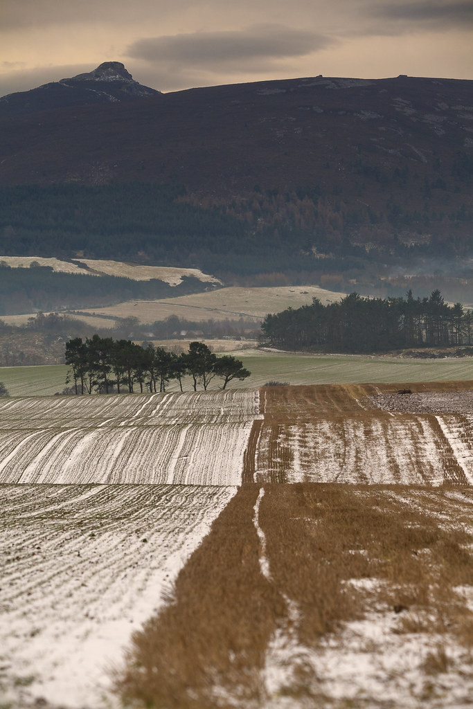
Fields of Gold
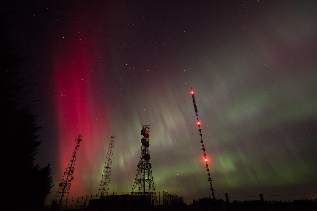
Electromagnetic Frontier
View north from Tyrebagger Hill

Autumn Fashion

A View
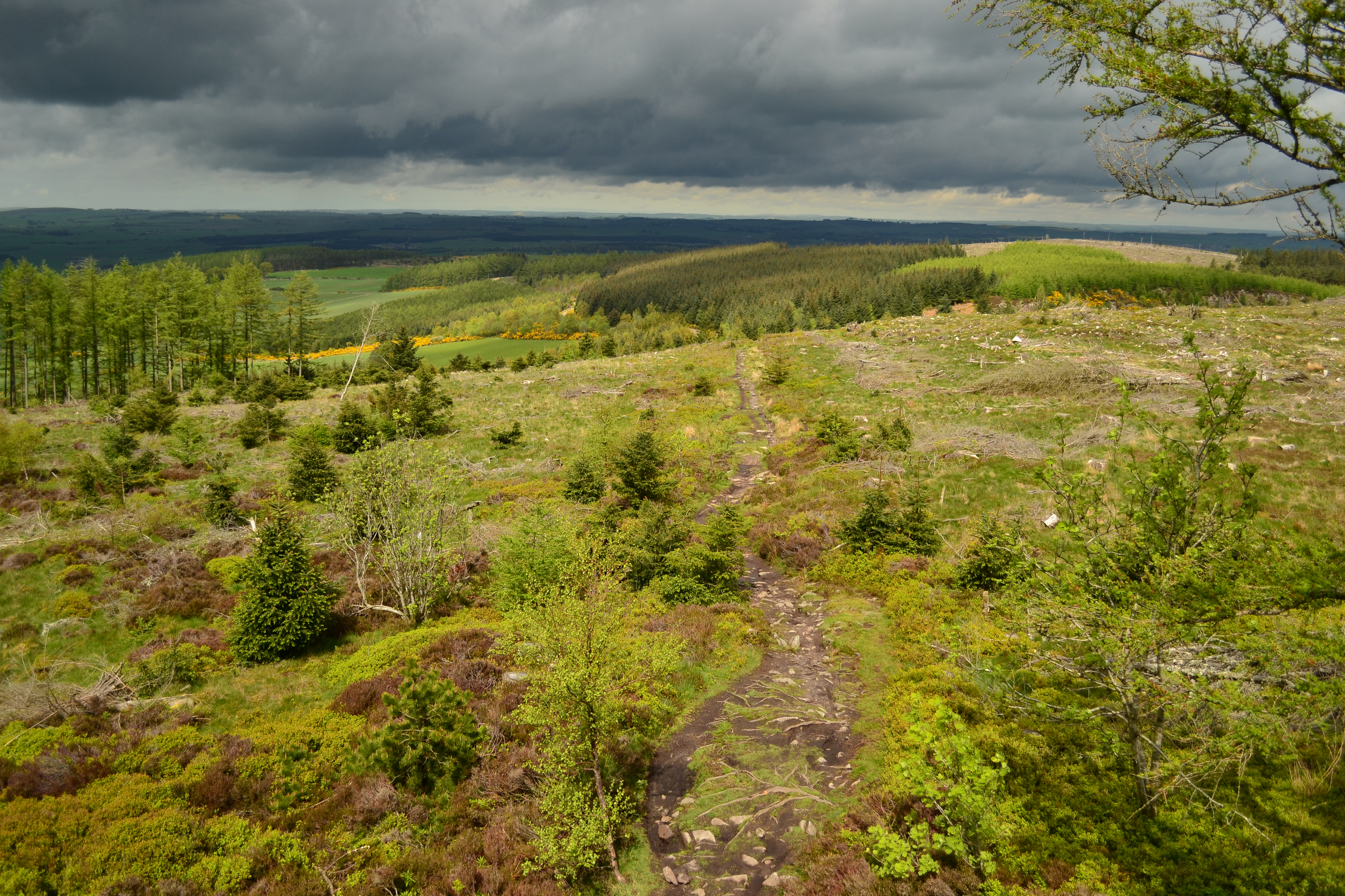
View back down the Gordon Way
Wider view

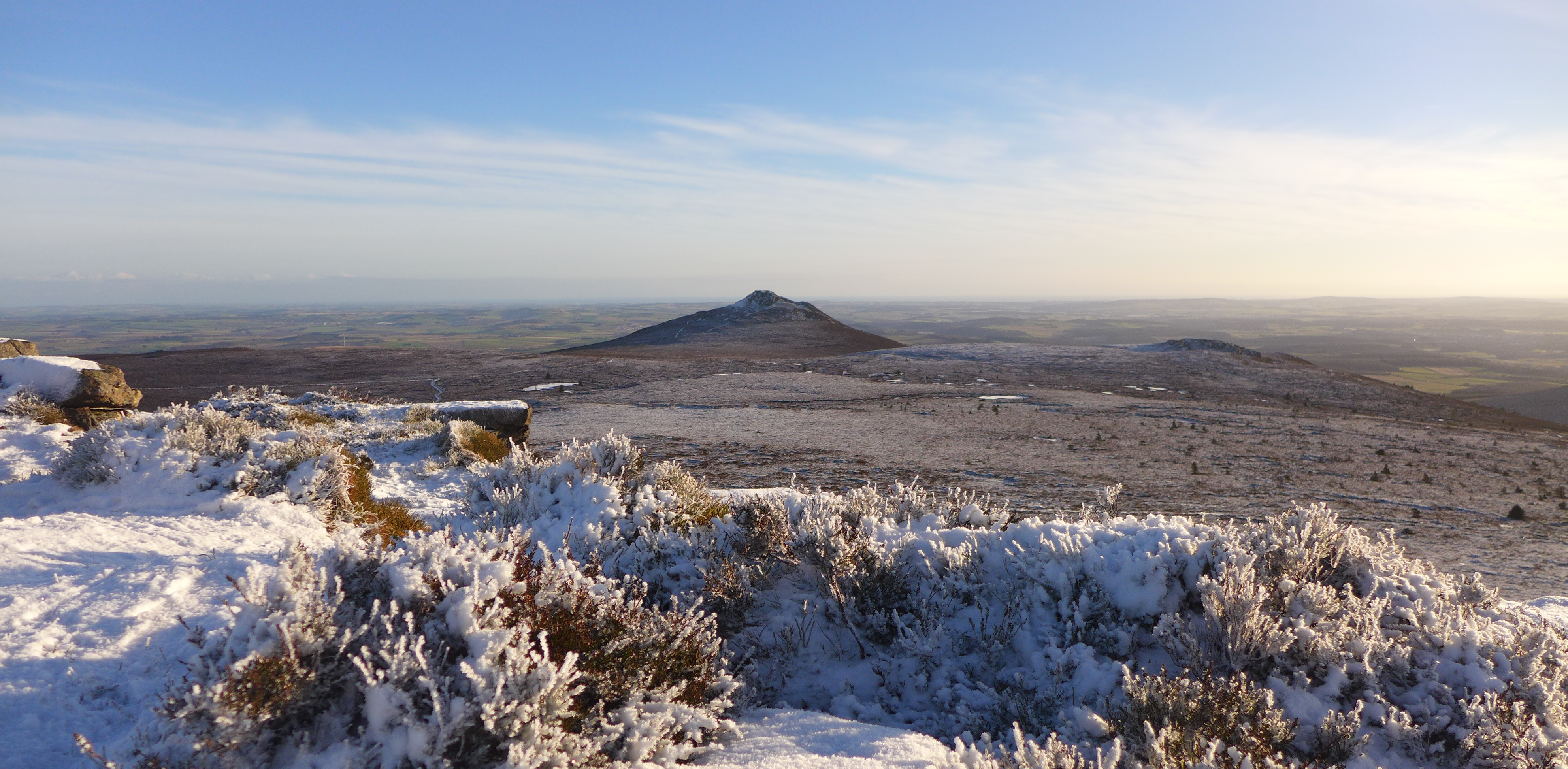
Bennachie, Scotland

In Her Mind I'm Proud to Roam
pan 1 new red

View from Ploughman's Hall

Bennachie 2 : December 2012
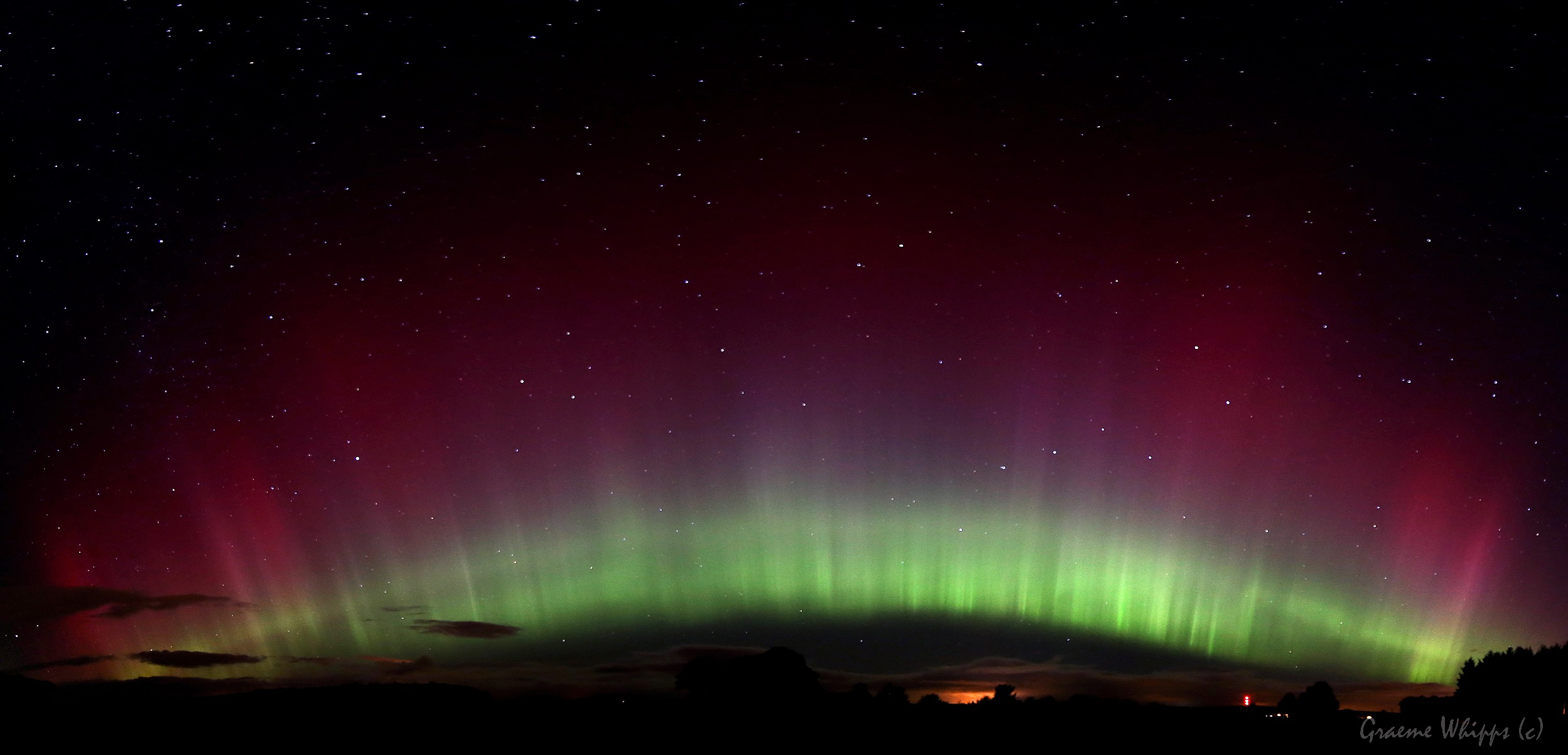
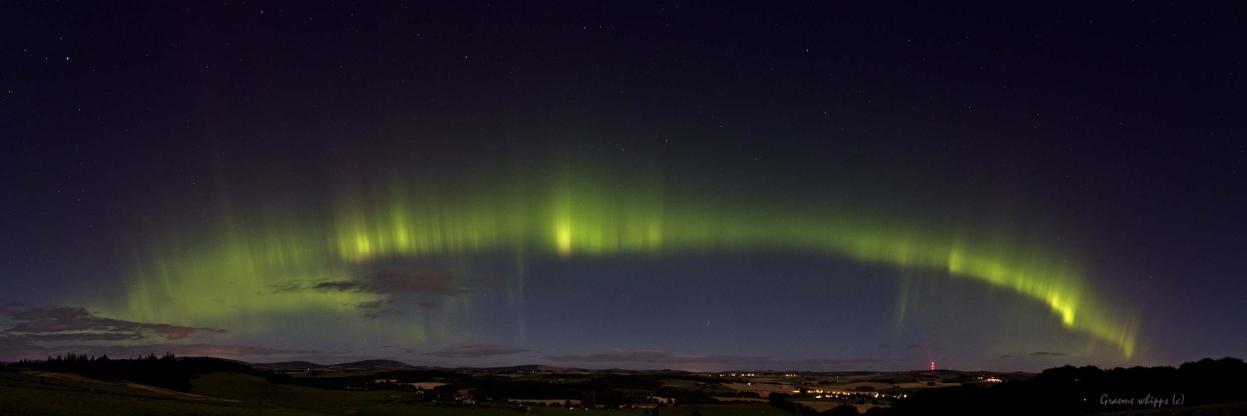
Midnight NLC

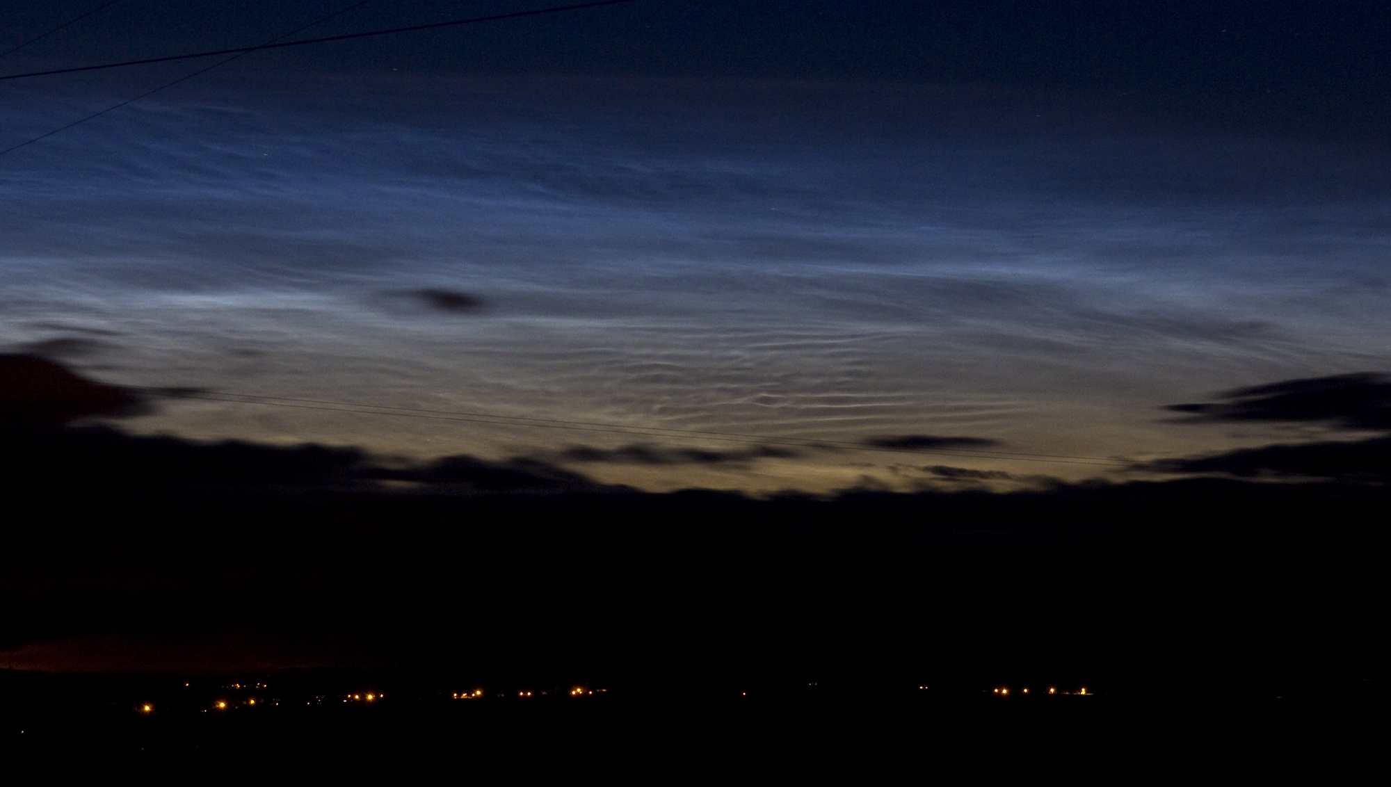
Misty rays

Bennachie 3 : December 2012
Garden view

Ythan view from Gight
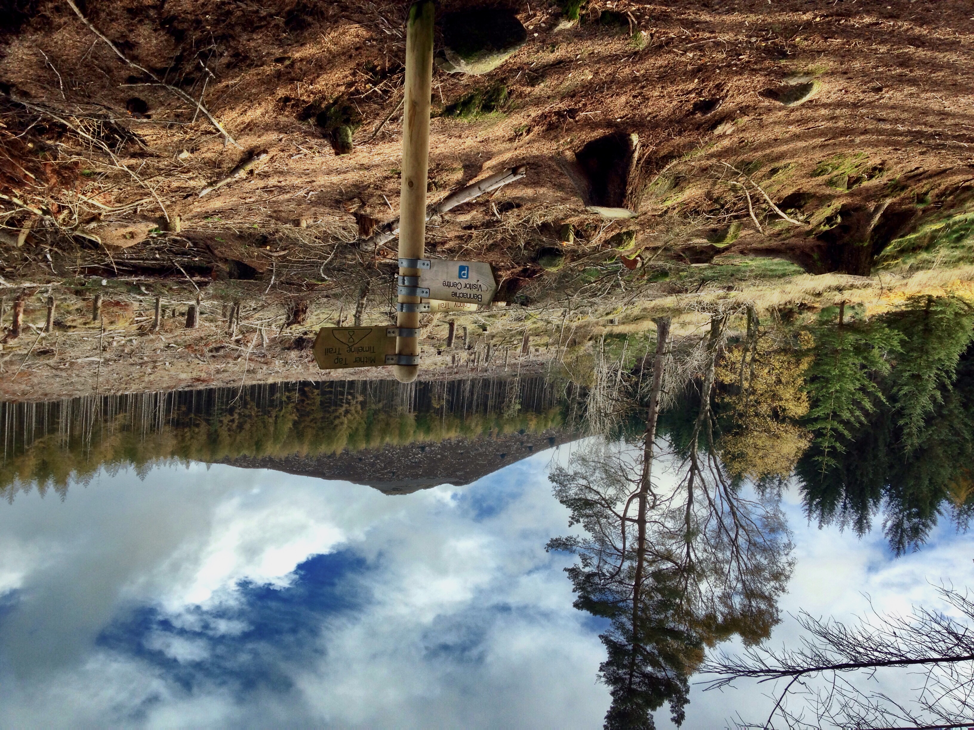
View of Mither Tap, Scotland.
Room with a view
Durno 25/06/2011
Bruntwood Tap
The way to Scare Hill

Down to Fetternear stables.

Cloud tops and tree tops. [In Explore]

Old Rayne Stone Circle
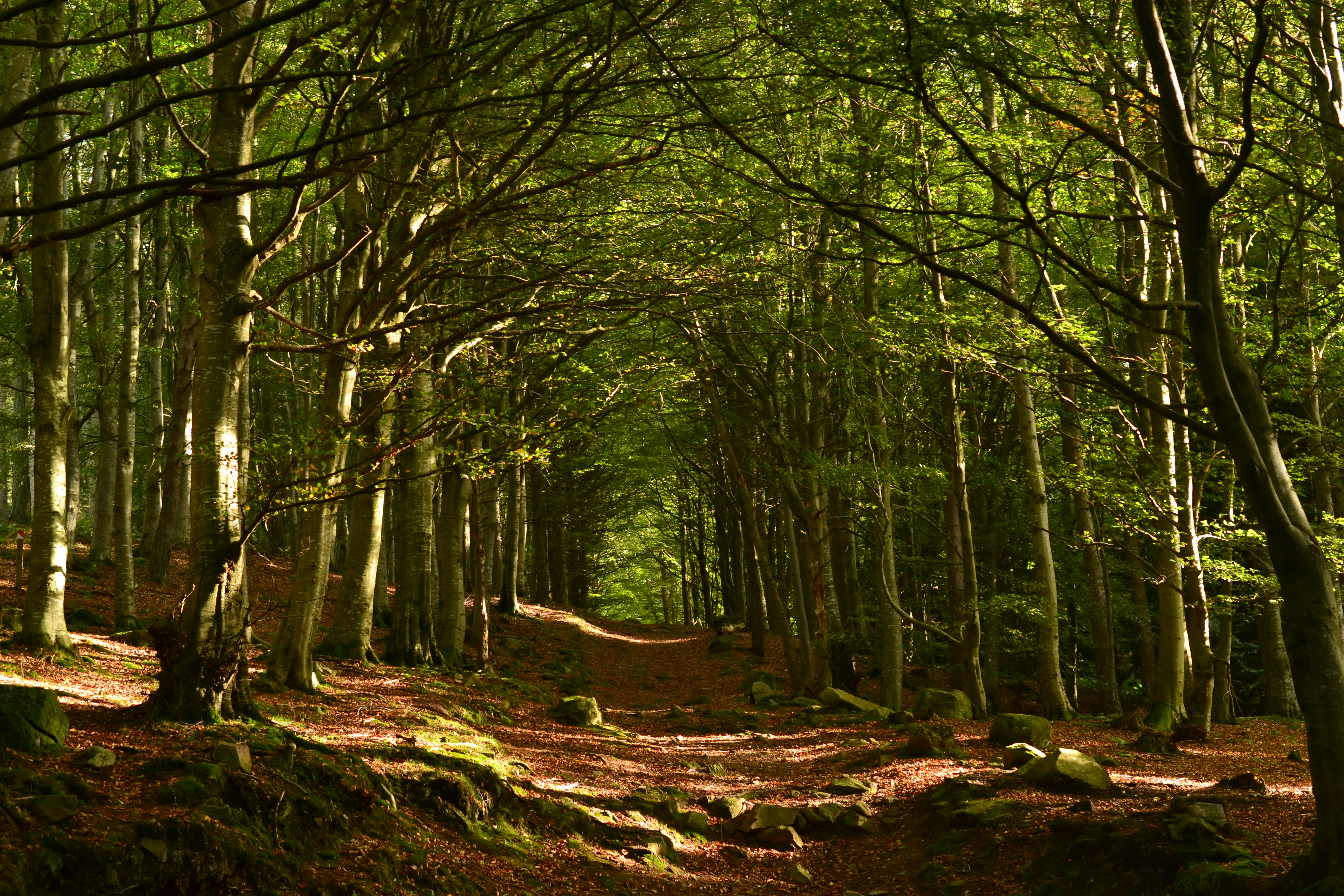
Tyrebagger woods
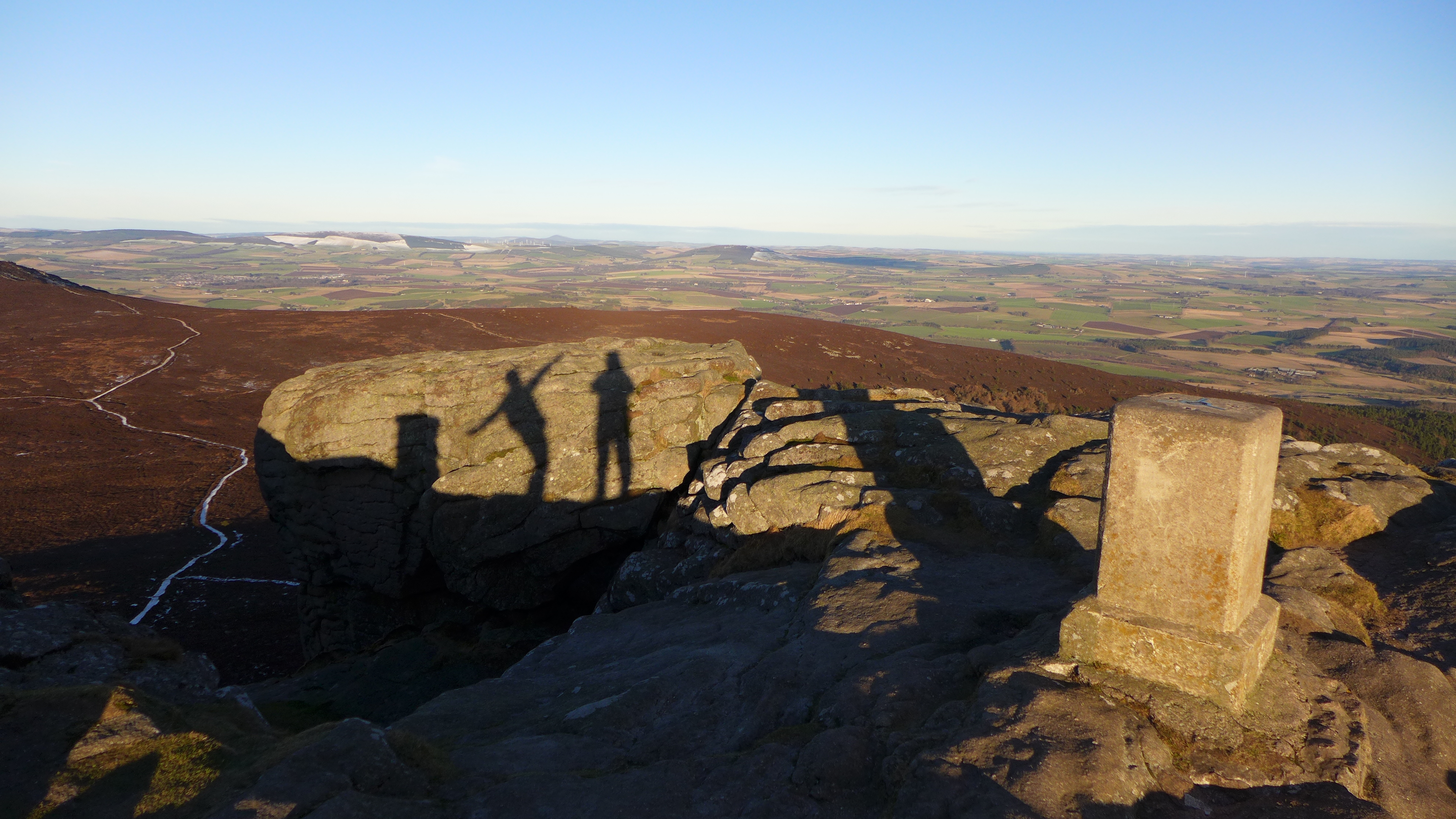
Bennachie trigpoint
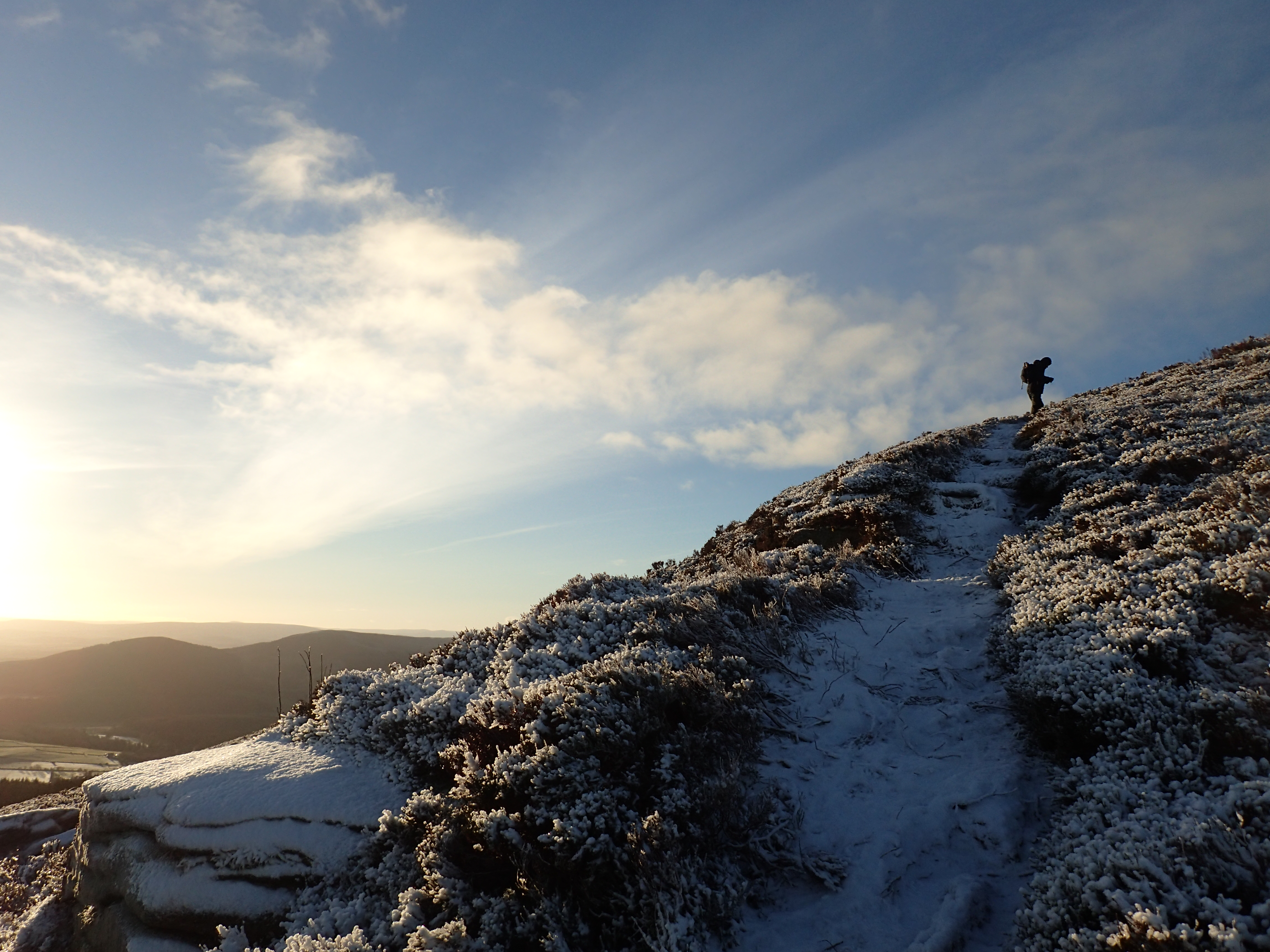
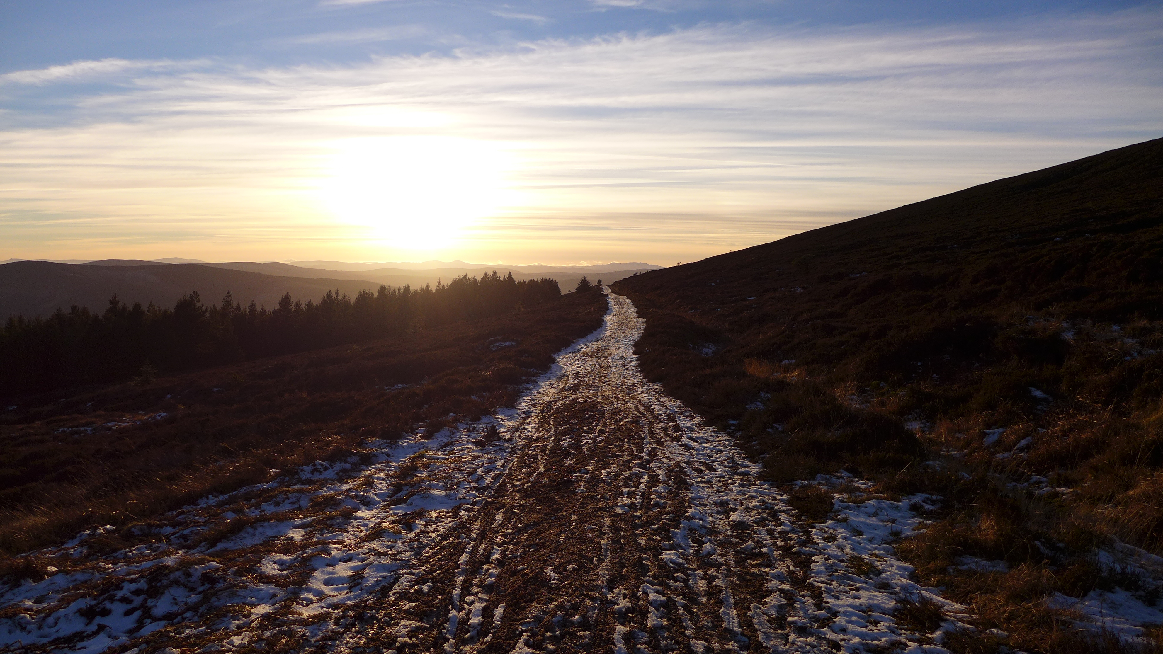
A frosty climb up Watch Craig
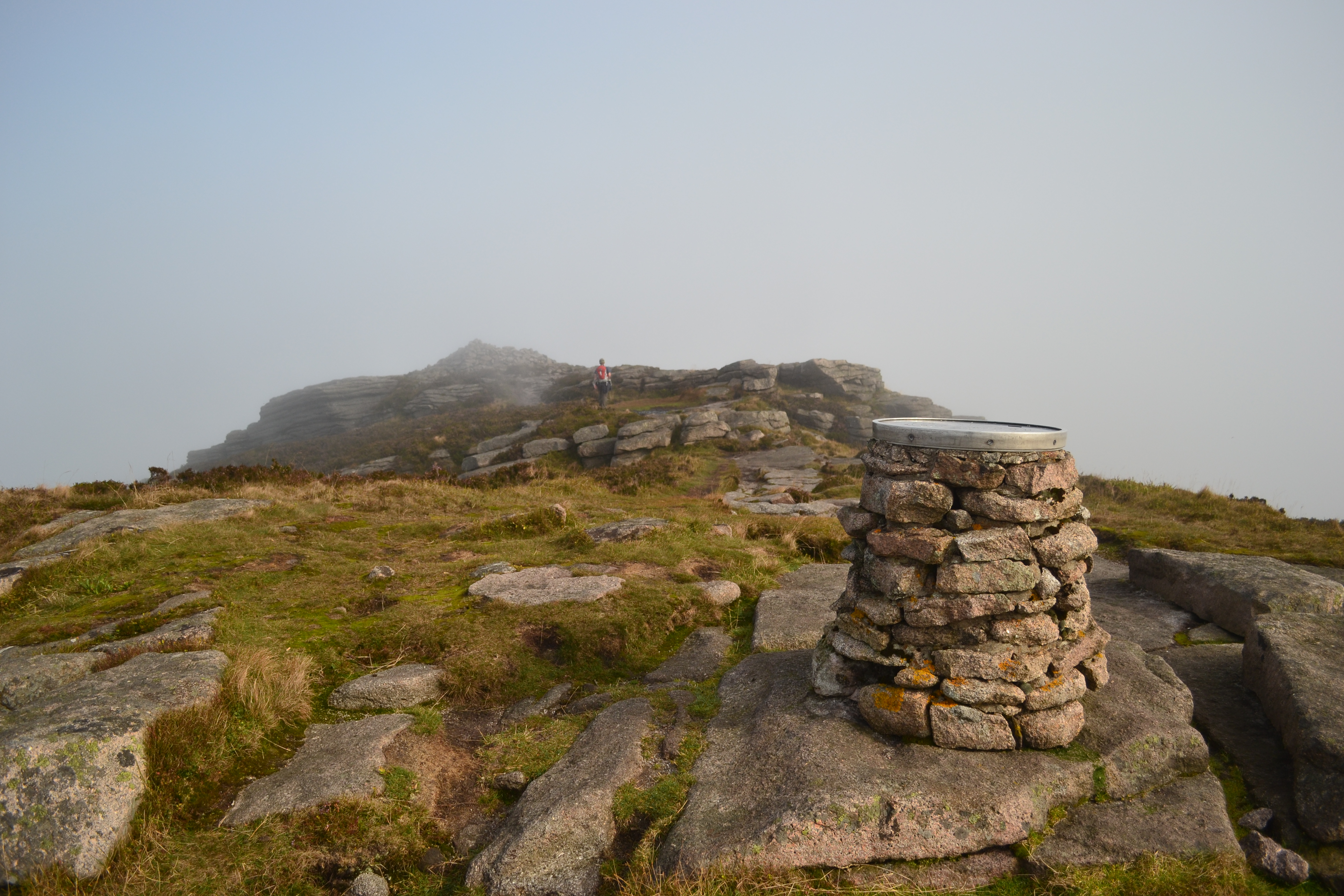
Oxen Craig - summit of Bennachie
Looking east to Mither Tap

Starry Eyed
Won't see this for a while..
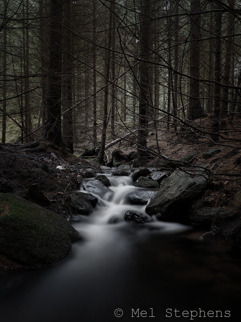
Dark wood (DC311119 9.0mm iso200 f8.0 25S)

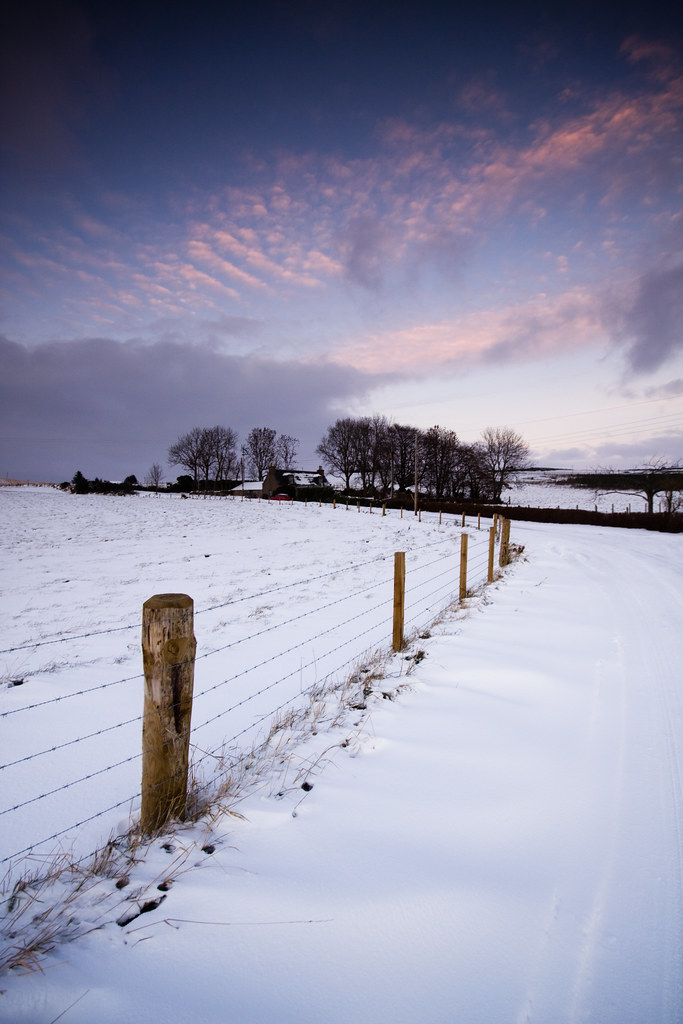
Big Sky

Kirkhill Forest

Foggy day on Mither Tap

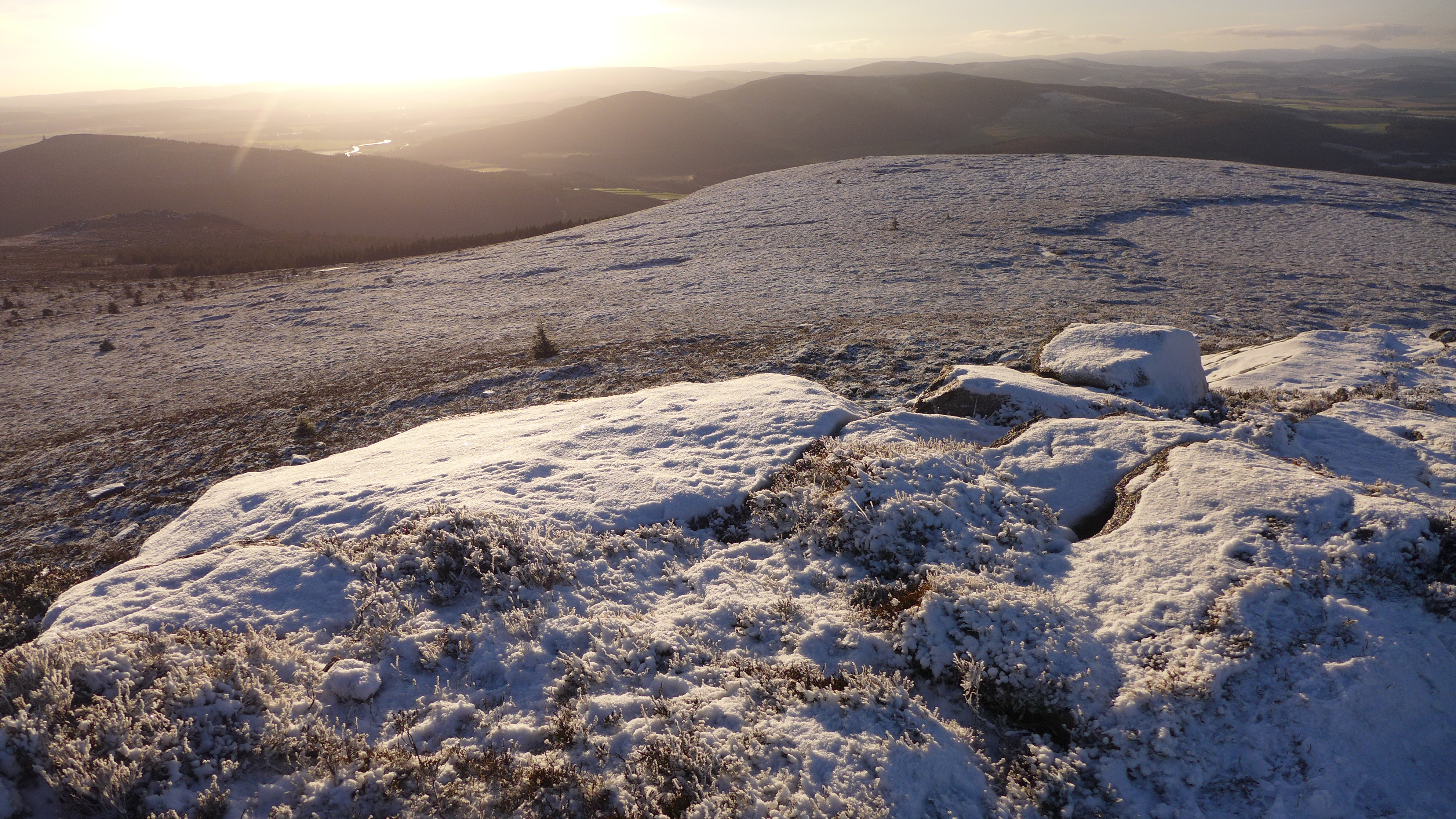
Oxen Craig

Field of Dreams
Back to the bin

Still standing...still...
Mither Tap Vertical 190mm_6844
Topographic Map of Oldmeldrum, Inverurie AB51, UK
Find elevation by address:

Places in Oldmeldrum, Inverurie AB51, UK:
Places near Oldmeldrum, Inverurie AB51, UK:
The Square
33 Rosebank
Cromlet Place
Unnamed Road
Carpenters Cottage
Inverurie
Ab51 0hb
Keithhall Road
Aberdeenshire
Ab21 0yd
Brae Crescent
Kinellar
Marcus Drive
Burnend Of Gight
Leylodge
Pitmedden
Tyrebagger Hill
Paradise Road
Rothienorman
Ab41 6rg
Recent Searches:
- Elevation of Corso Fratelli Cairoli, 35, Macerata MC, Italy
- Elevation of Tallevast Rd, Sarasota, FL, USA
- Elevation of 4th St E, Sonoma, CA, USA
- Elevation of Black Hollow Rd, Pennsdale, PA, USA
- Elevation of Oakland Ave, Williamsport, PA, USA
- Elevation of Pedrógão Grande, Portugal
- Elevation of Klee Dr, Martinsburg, WV, USA
- Elevation of Via Roma, Pieranica CR, Italy
- Elevation of Tavkvetili Mountain, Georgia
- Elevation of Hartfords Bluff Cir, Mt Pleasant, SC, USA