Elevation of Old Watkins Rd, Oxford, NC, USA
Location: United States > North Carolina > Granville County > Fishing Creek > Oxford >
Longitude: -78.504882
Latitude: 36.2449789
Elevation: 104m / 341feet
Barometric Pressure: 100KPa
Elevation Map:
Satellite Map:
Related Photos:

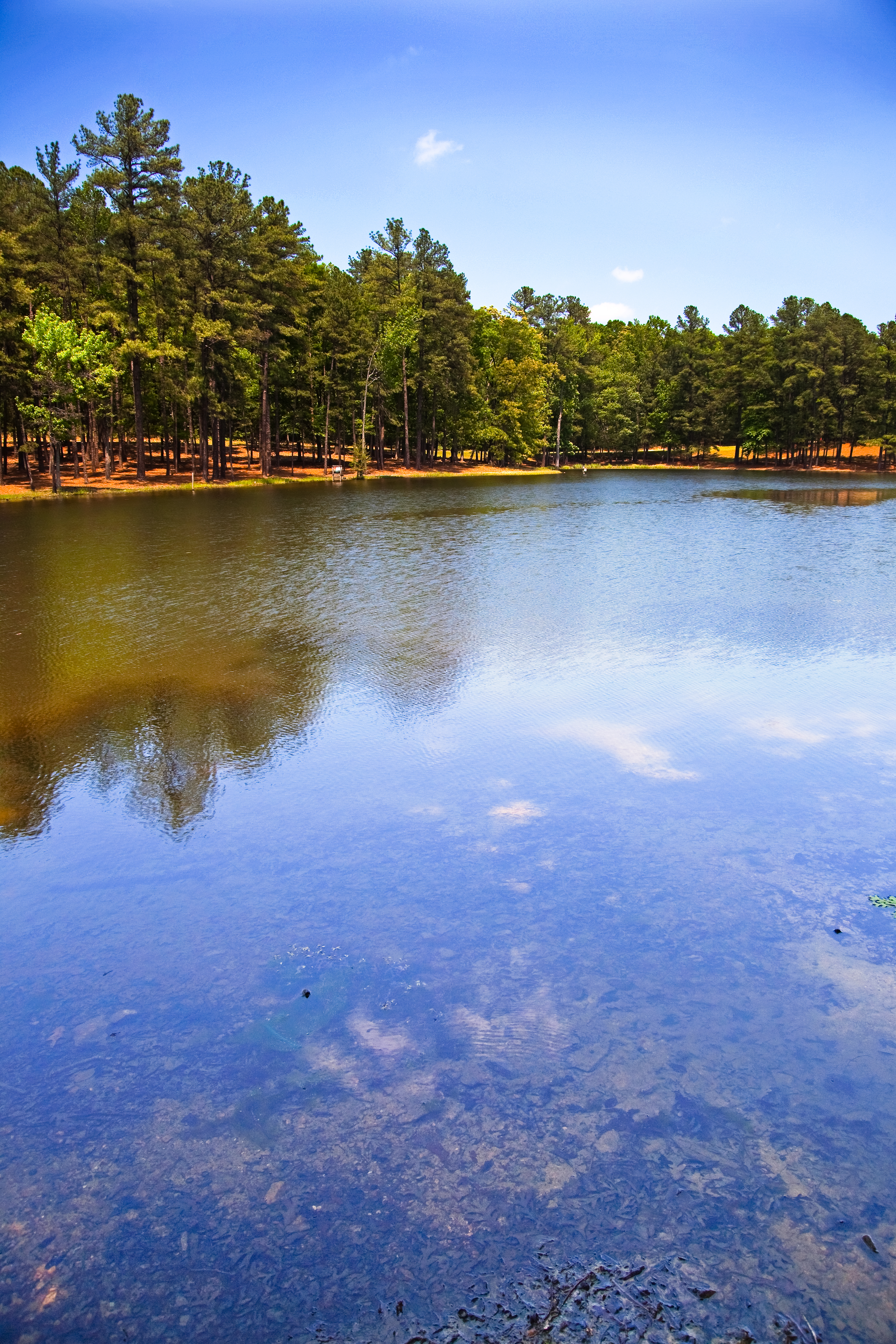
Webb-Adams House 1
5/09/09
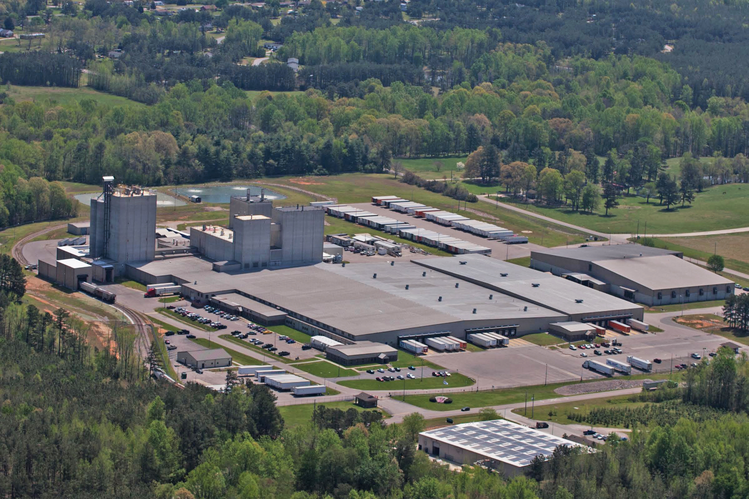
Iams Plant in Henderson, North Carolina

Oxford, NC - Corn field!
20180413_133445_30_rdl-Edit

Oxford, NC - Corny.
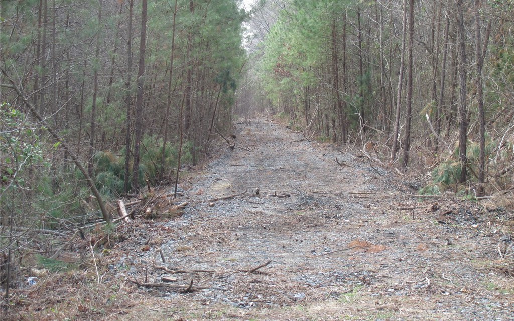
Abandoned Southern
St. Stephens Episcopal Church 6

SONG SPARROW

Thad Stem, Jr.
Topographic Map of Old Watkins Rd, Oxford, NC, USA
Find elevation by address:

Places near Old Watkins Rd, Oxford, NC, USA:
4841 Old Watkins Rd
160 Wrenn Rd
Fairport Rd, Kittrell, NC, USA
Old Watkins Road
Watkins
State Rd, Oxford, NC, USA
Kittrell
Kittrell
Kittrell
Kittrell
Kittrell
Kittrell
220 Old Watkins Rd
156 Old Watkins Rd
Kittrell
96 Hwy, Oxford, NC, USA
Fishing Creek
Leak Avenue
321 Forest Rd
109 Franklin St
Recent Searches:
- Elevation of Corso Fratelli Cairoli, 35, Macerata MC, Italy
- Elevation of Tallevast Rd, Sarasota, FL, USA
- Elevation of 4th St E, Sonoma, CA, USA
- Elevation of Black Hollow Rd, Pennsdale, PA, USA
- Elevation of Oakland Ave, Williamsport, PA, USA
- Elevation of Pedrógão Grande, Portugal
- Elevation of Klee Dr, Martinsburg, WV, USA
- Elevation of Via Roma, Pieranica CR, Italy
- Elevation of Tavkvetili Mountain, Georgia
- Elevation of Hartfords Bluff Cir, Mt Pleasant, SC, USA