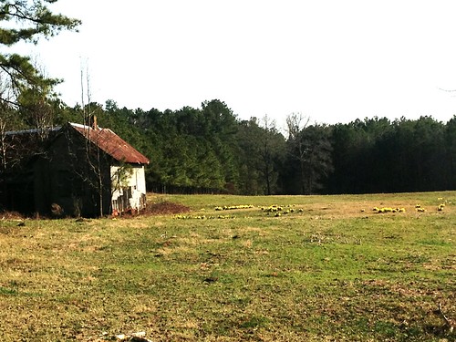
Elevation of Old U.S., Woodland, AL, USA
Location: United States > Alabama > Randolph County > Woodland >
Longitude: -85.489791
Latitude: 33.4216446
Elevation: 324m / 1063feet
Barometric Pressure: 97KPa
Related Photos:
Topographic Map of Old U.S., Woodland, AL, USA
Find elevation by address:

Places near Old U.S., Woodland, AL, USA:
41 Co Rd 406
1429 Co Rd 80
Co Rd 95, Wedowee, AL, USA
Woodland
2388 Co Rd 129
2388 Co Rd 129
Wedowee
Co Rd 92, Graham, AL, USA
Co Rd, Graham, AL, USA
Randolph County
Co Rd 59, Roanoke, AL, USA
1043 Shiloh Church Road
Graham
Main St, Ranburne, AL, USA
Ranburne
Co Rd 71, Heflin, AL, USA
383 Shiloh Church Road
383 Shiloh Church Road
177 Stateline Rd
Delta
Recent Searches:
- Elevation of Corso Fratelli Cairoli, 35, Macerata MC, Italy
- Elevation of Tallevast Rd, Sarasota, FL, USA
- Elevation of 4th St E, Sonoma, CA, USA
- Elevation of Black Hollow Rd, Pennsdale, PA, USA
- Elevation of Oakland Ave, Williamsport, PA, USA
- Elevation of Pedrógão Grande, Portugal
- Elevation of Klee Dr, Martinsburg, WV, USA
- Elevation of Via Roma, Pieranica CR, Italy
- Elevation of Tavkvetili Mountain, Georgia
- Elevation of Hartfords Bluff Cir, Mt Pleasant, SC, USA


