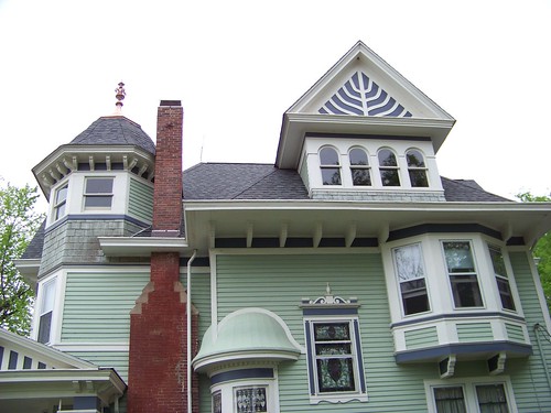
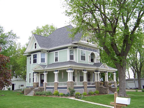
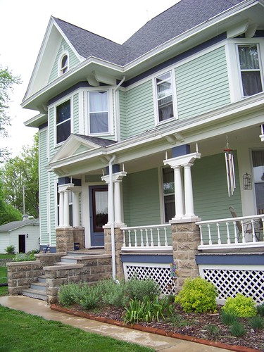
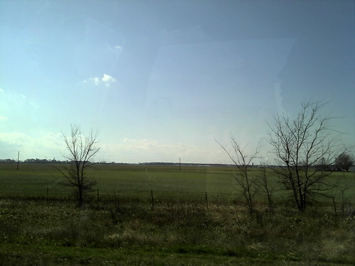
Elevation of Old U.S. Hwy 50, Breese, IL, USA
Location: United States > Illinois > Clinton County > Breese Township > Breese >
Longitude: -89.560843
Latitude: 38.6098241
Elevation: -10000m / -32808feet
Barometric Pressure: 295KPa
Related Photos:
Topographic Map of Old U.S. Hwy 50, Breese, IL, USA
Find elevation by address:

Places near Old U.S. Hwy 50, Breese, IL, USA:
10 N 11th St
Breese
Breese Township
9602 Woodcrest Pl
11784 Bernadine St
Clinton County
Albers
IL-, Albers, IL, USA
Sugar Creek Township
Iberg Rd, Highland, IL, USA
601 North St
Damiansville
Plum St, Damiansville, IL, USA
Bartelso
1 E Broadway, Trenton, IL, USA
Trenton
116 W Indiana St
Looking Glass Township
Helvetia Township
180 Il-160
Recent Searches:
- Elevation of Corso Fratelli Cairoli, 35, Macerata MC, Italy
- Elevation of Tallevast Rd, Sarasota, FL, USA
- Elevation of 4th St E, Sonoma, CA, USA
- Elevation of Black Hollow Rd, Pennsdale, PA, USA
- Elevation of Oakland Ave, Williamsport, PA, USA
- Elevation of Pedrógão Grande, Portugal
- Elevation of Klee Dr, Martinsburg, WV, USA
- Elevation of Via Roma, Pieranica CR, Italy
- Elevation of Tavkvetili Mountain, Georgia
- Elevation of Hartfords Bluff Cir, Mt Pleasant, SC, USA


