Elevation of Old Salt Works Rd, Chatham, MA, USA
Location: United States > Massachusetts > Barnstable County > Chatham > Chatham >
Longitude: -69.96624
Latitude: 41.714916
Elevation: -1m / -3feet
Barometric Pressure: 101KPa
Elevation Map:
Satellite Map:
Related Photos:
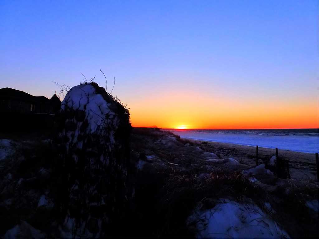
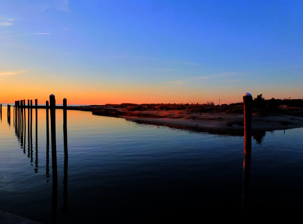
Linger By The Beach - Explored 3/6/13

Sunset View from the Chairs II
Linger View

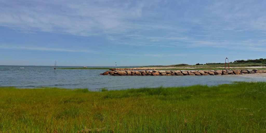
Beach View

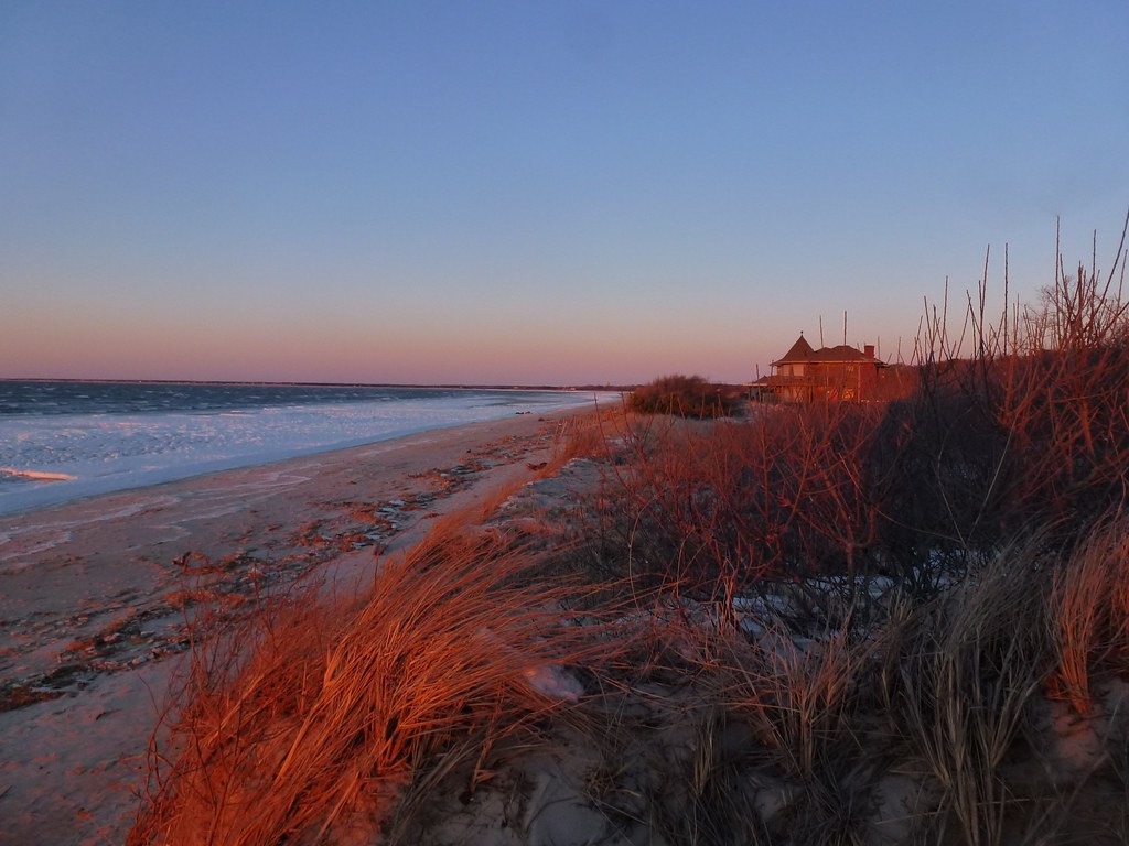
Sunset By The Dunes
Linger By The Shore
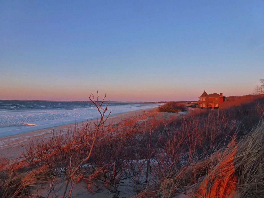
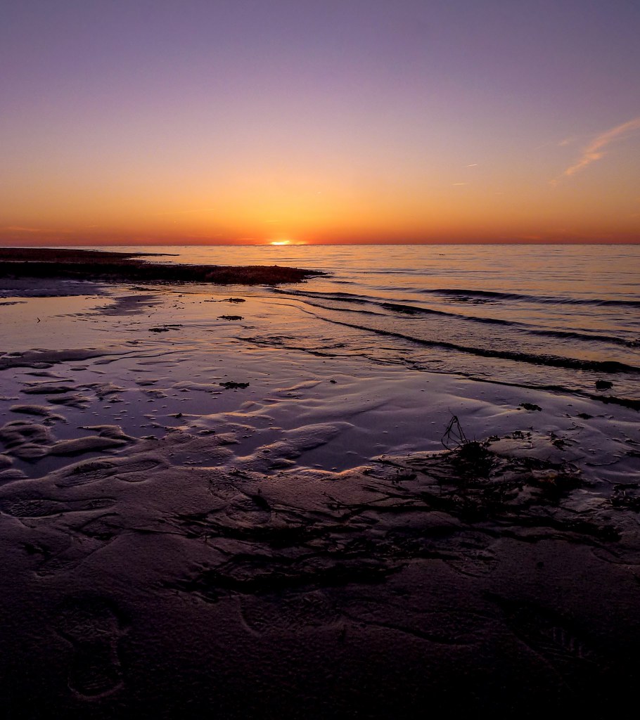
Sunrise Cape Cod - Massachusetts

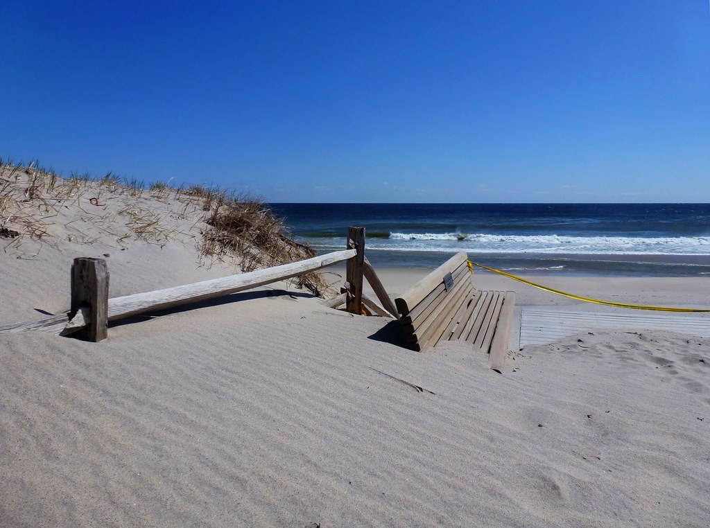
Storm Damage

Fog With A Bit Of Color

Rainbow at Sunset [Explored 7/29/12]
Rock Harbor
Linger Longer I

The view

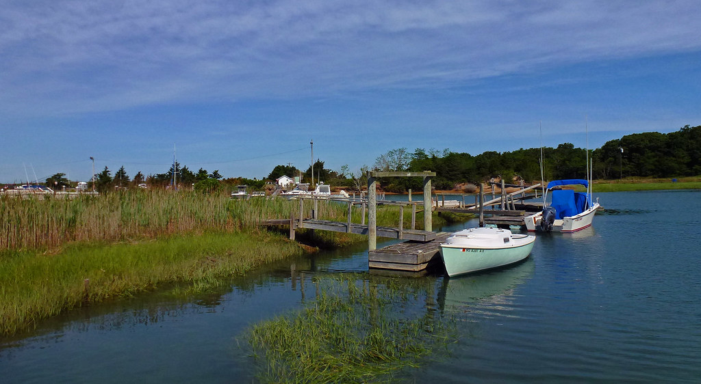
Mill Pond
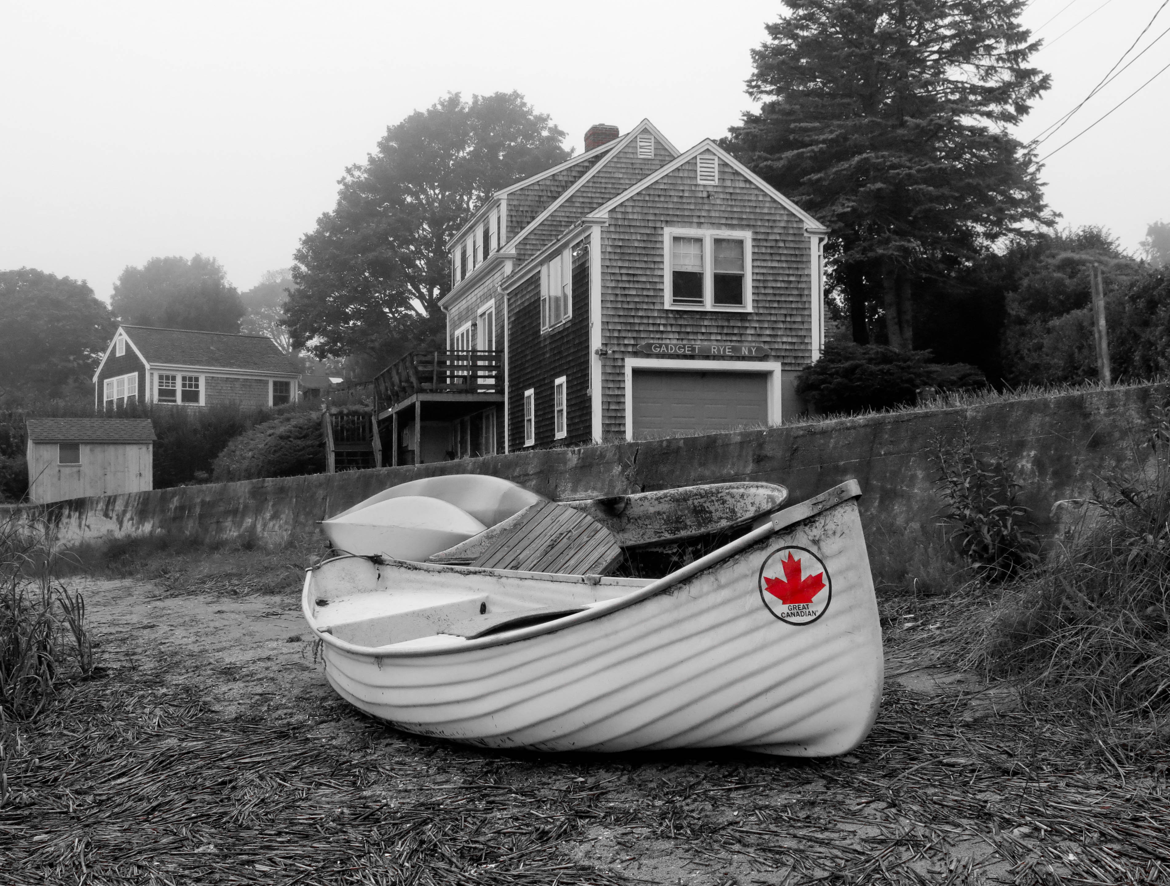
Beached Great Canadian
Beach Parking

Marsh View at Sunset
Sand Covered

View from the backyard

Sunset Beach View
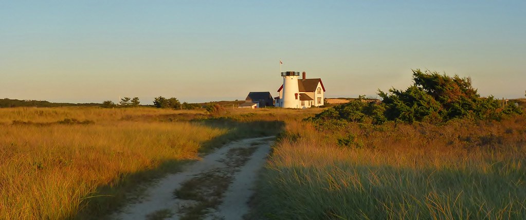
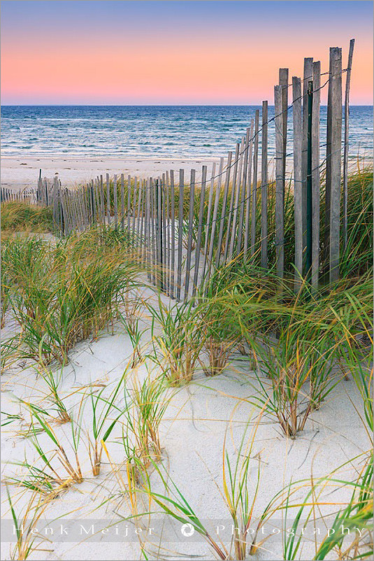
The Path to Stage Harbor Lighthouse

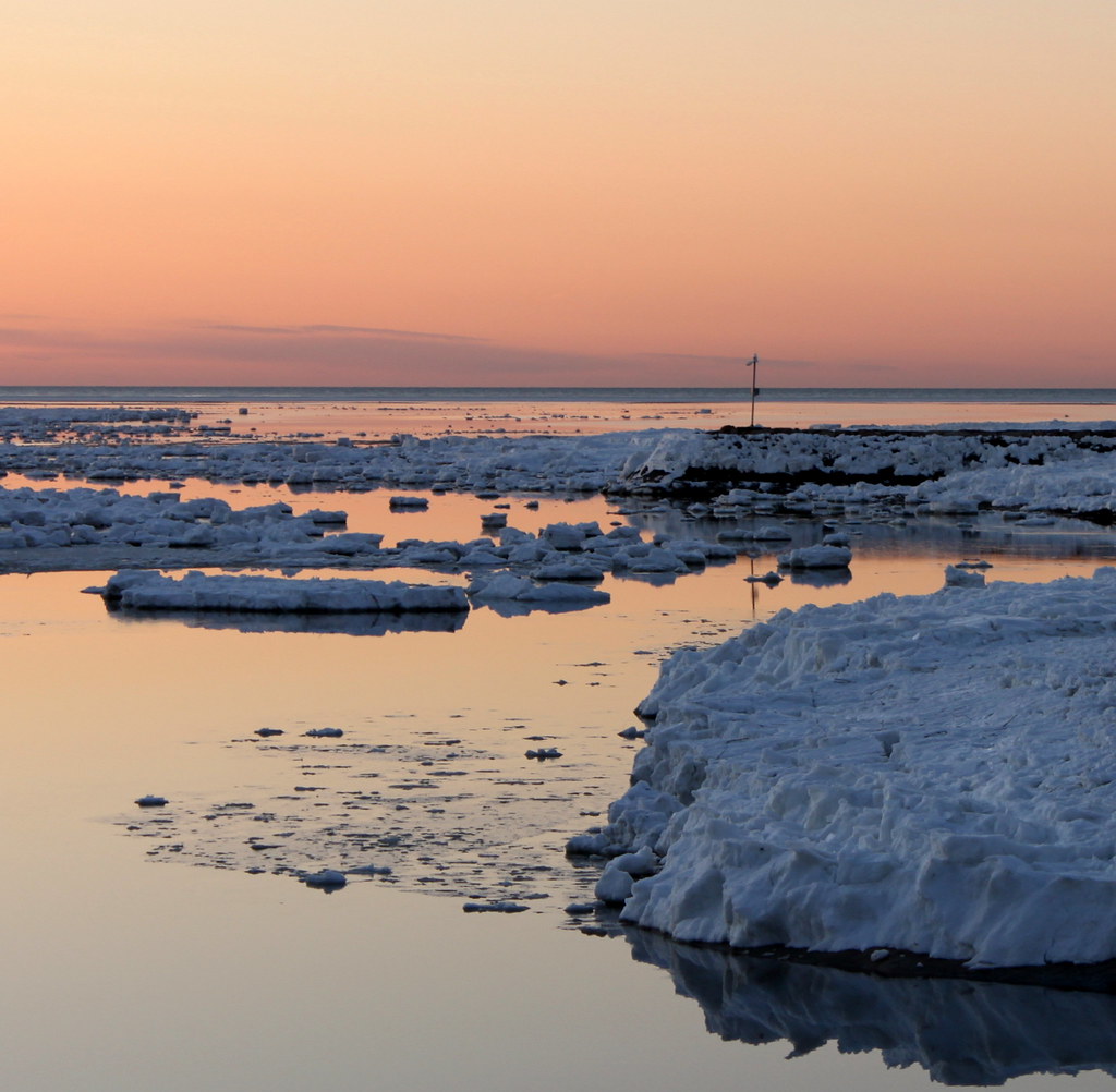
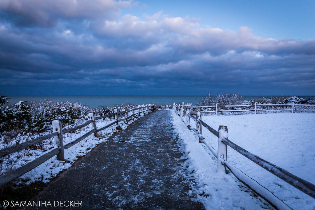
Winter Shoreline - Explored 3-5-13

Brewster Flats On A Sunny Day

Cape Cod
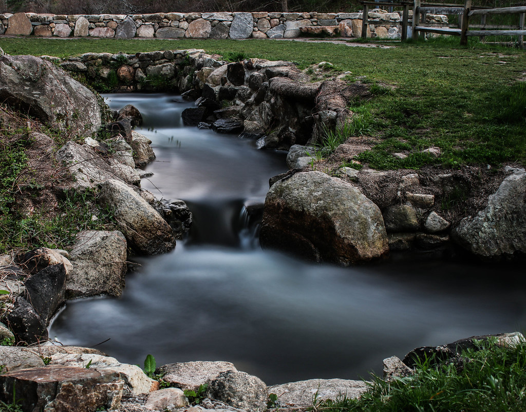
Herring Run - Brewster
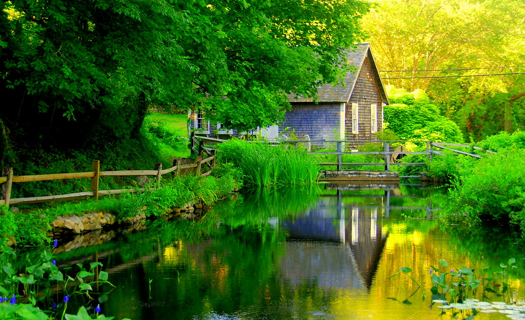
Brewster Grist Mill Cape Cod

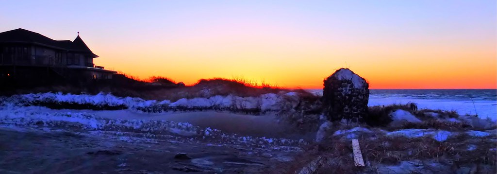
Sunset by The Rocks - Explored 3 - 2- 2013
The Fishing Pier

Beauty and Erosion - Explored Feburary 27, 2013

Windstorm Shadows

Gone Part I

Paines Creek
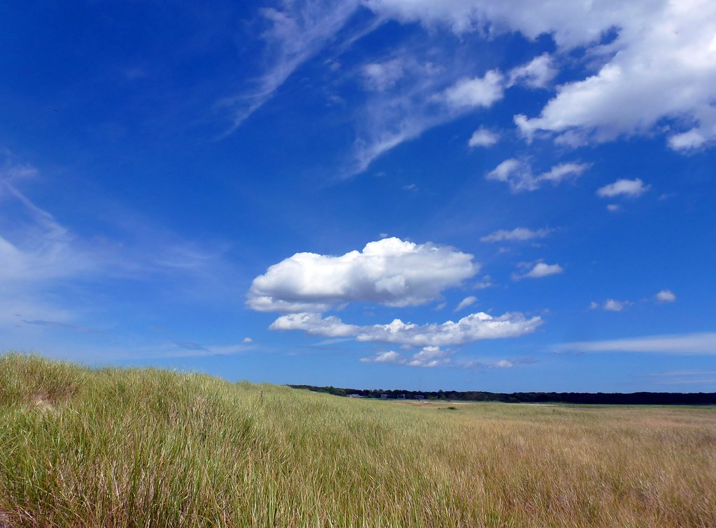
Green Grass Blue Sky

A Ray of Light
Rock Harbor - Orleans
Rock Harbor View
The Desolate Path to the Ocean
Sunset Glow
Topographic Map of Old Salt Works Rd, Chatham, MA, USA
Find elevation by address:

Places near Old Salt Works Rd, Chatham, MA, USA:
202 Eastward Rd
7 Easy St
44 Woodland Way
44 Woodland Way
121 Middle Rd
55 Bellamy Ln
188 Woodland Way
218 Woodland Way
36 Sea Cove Rd
210 Crows Pond Rd
156 Crows Pond Rd
70 Fox Hill Rd
85 A Leonard Way
90 Oval Rd
Wequassett Resort And Golf Club
9 Aunt Abigails Way
16 Grannys Ln
16 Uncle Israel's Rd
16 Uncle Israel's Rd
23 Timberlane Dr
Recent Searches:
- Elevation of Corso Fratelli Cairoli, 35, Macerata MC, Italy
- Elevation of Tallevast Rd, Sarasota, FL, USA
- Elevation of 4th St E, Sonoma, CA, USA
- Elevation of Black Hollow Rd, Pennsdale, PA, USA
- Elevation of Oakland Ave, Williamsport, PA, USA
- Elevation of Pedrógão Grande, Portugal
- Elevation of Klee Dr, Martinsburg, WV, USA
- Elevation of Via Roma, Pieranica CR, Italy
- Elevation of Tavkvetili Mountain, Georgia
- Elevation of Hartfords Bluff Cir, Mt Pleasant, SC, USA