Elevation of Old Ruckerville Rd, Winchester, KY, USA
Location: United States > Kentucky > Clark County > Winchester >
Longitude: -84.097465
Latitude: 37.9387586
Elevation: 295m / 968feet
Barometric Pressure: 98KPa
Elevation Map:
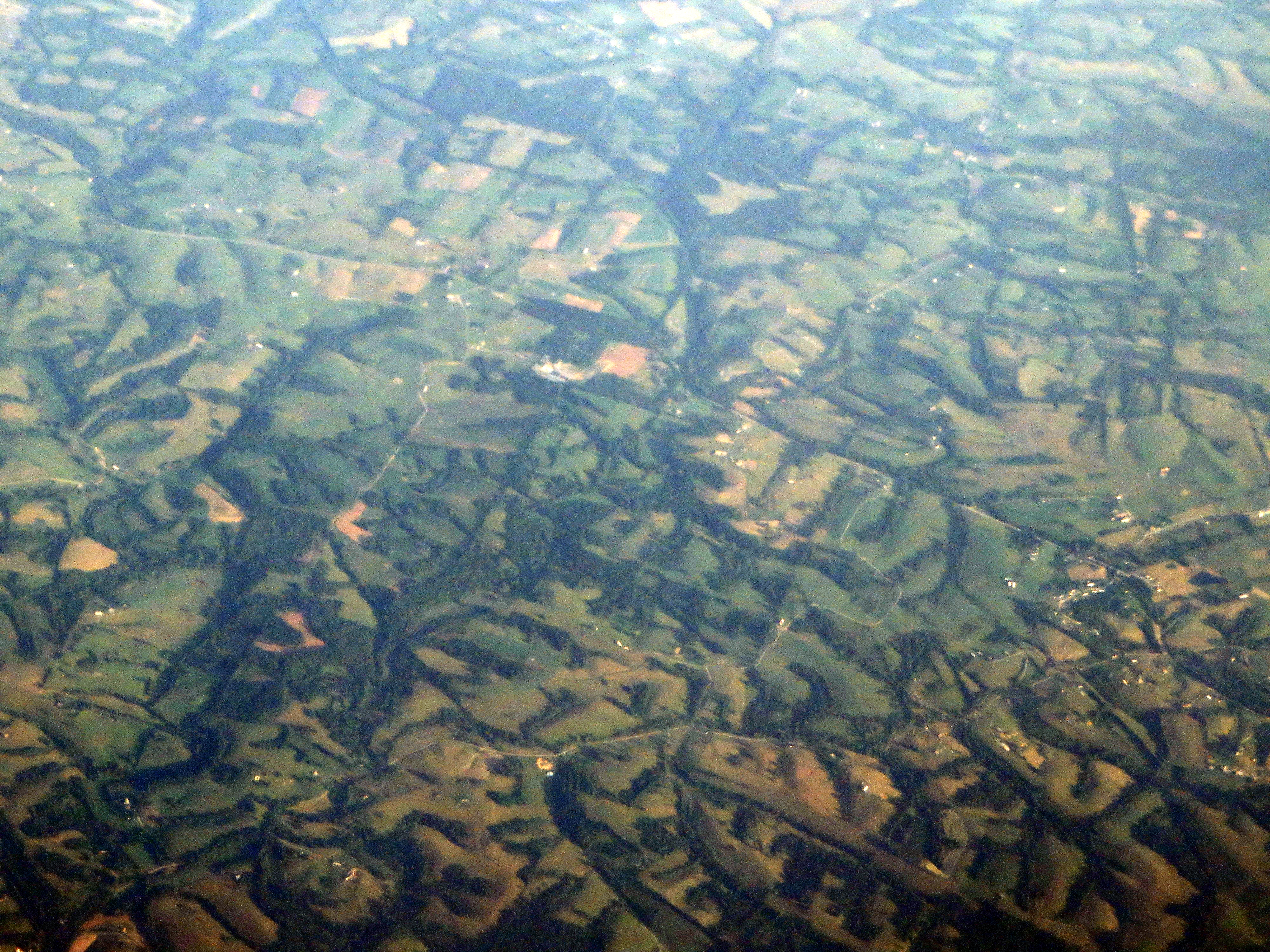
Satellite Map:
Related Photos:

A Foggy Boonesborough Morning

Kentucky River Blast 2014

Kentucky River Blast 2014

Kentucky River Blast 2014

Kentucky River Blast 2014
Pilot View, Clark Co., KY
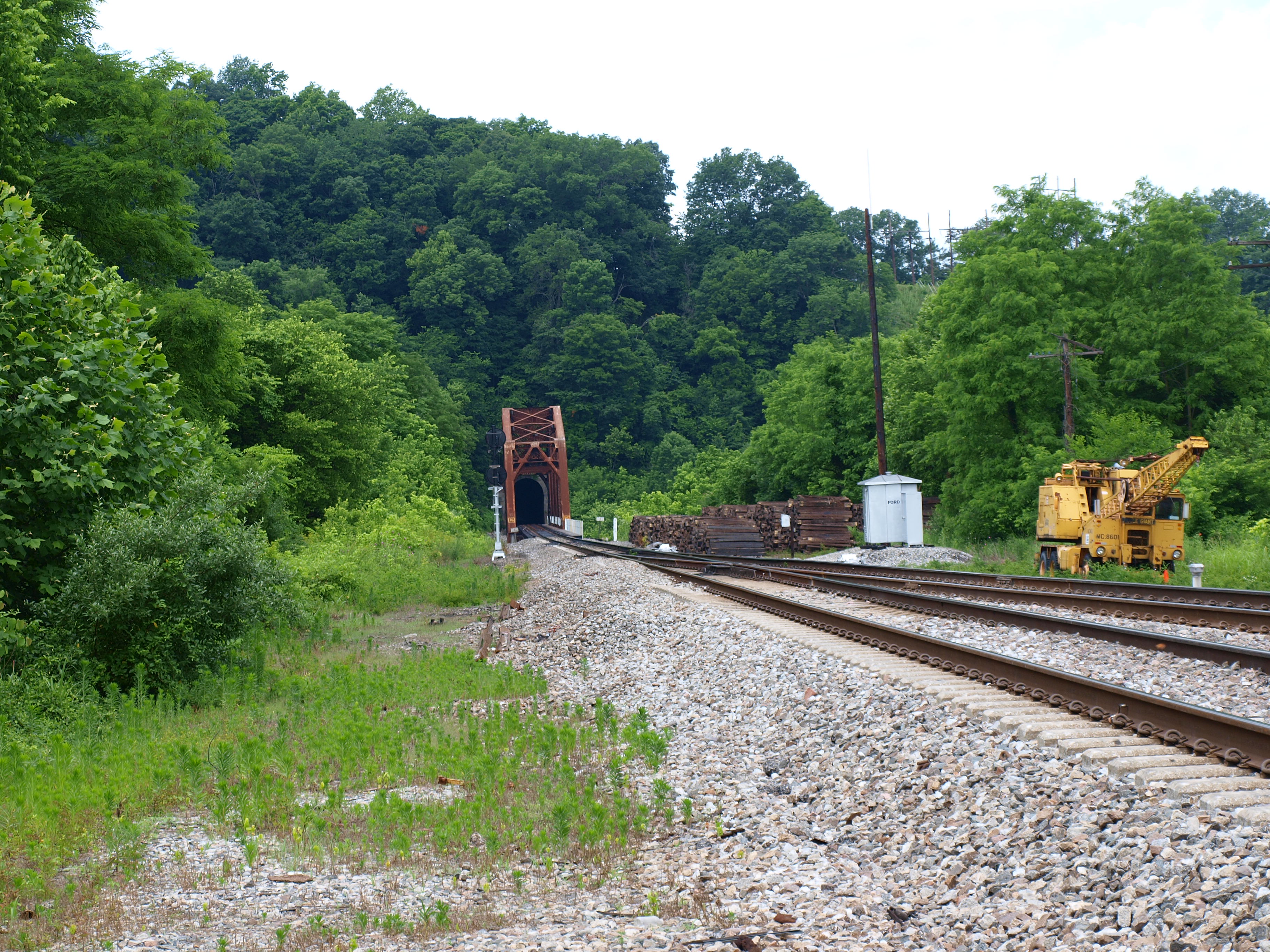
Unknown railroad truss bridge, Clark County, KY

Pioneer Forage Trail-9137

Cloudy Sunrise, Clark County, KY
Passing Landscape near Morehead

Small cascading creek running into the Kentucky River near Boonesboro, KY
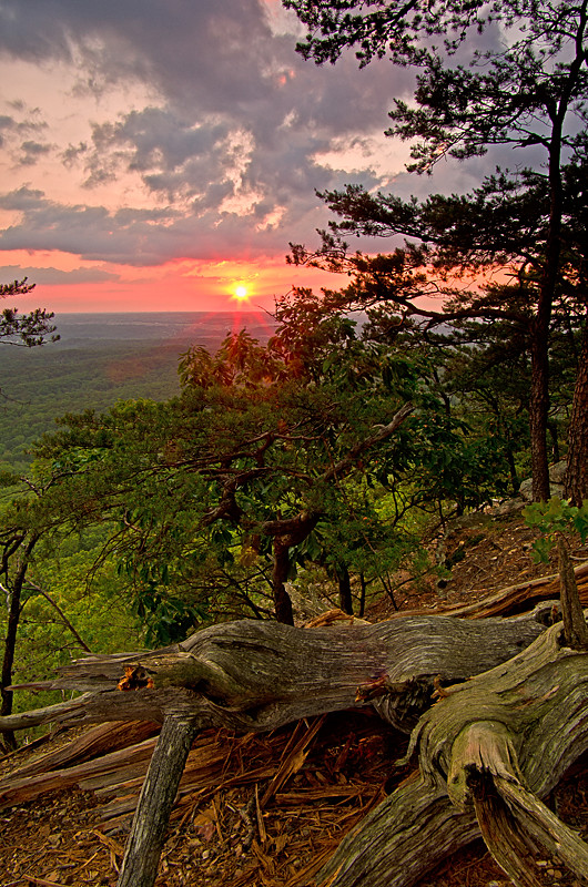
On Pilot Knob.
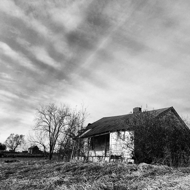
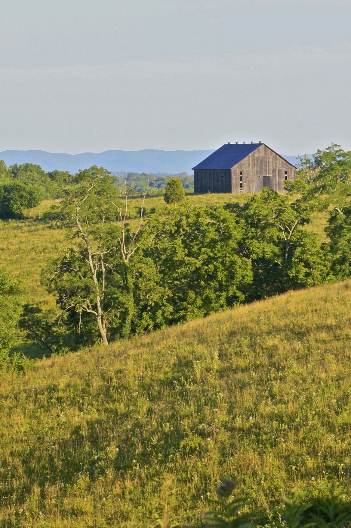
Old #farmhouse in #centralky in B/W
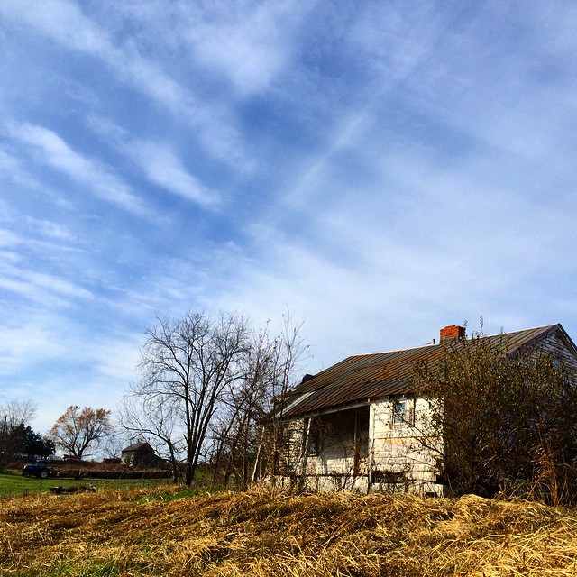
Old #farmhouse in #centralky original shot in color #sky #clouds

Kentucky Tobacco Field
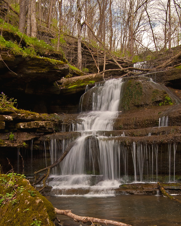
Small cascading creek running into the Kentucky River near Boonesboro, KY
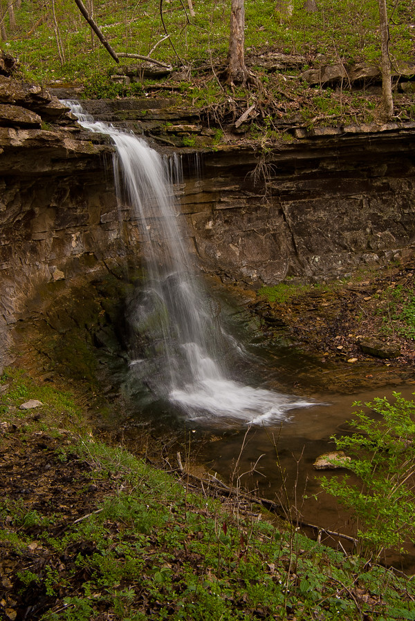
Small cascading creek running into the Kentucky River near Boonesboro, KY
Carolyn's farm

West Virginia farm

Small cascading creek running into the Kentucky River near Boonesboro, KY

Carolyn's farm

Thunderstorms Over Eastern Kentucky

Thunderstorms Over Eastern Kentucky
Landscape Just West of Mount Sterling, Kentucky

Morning has broken
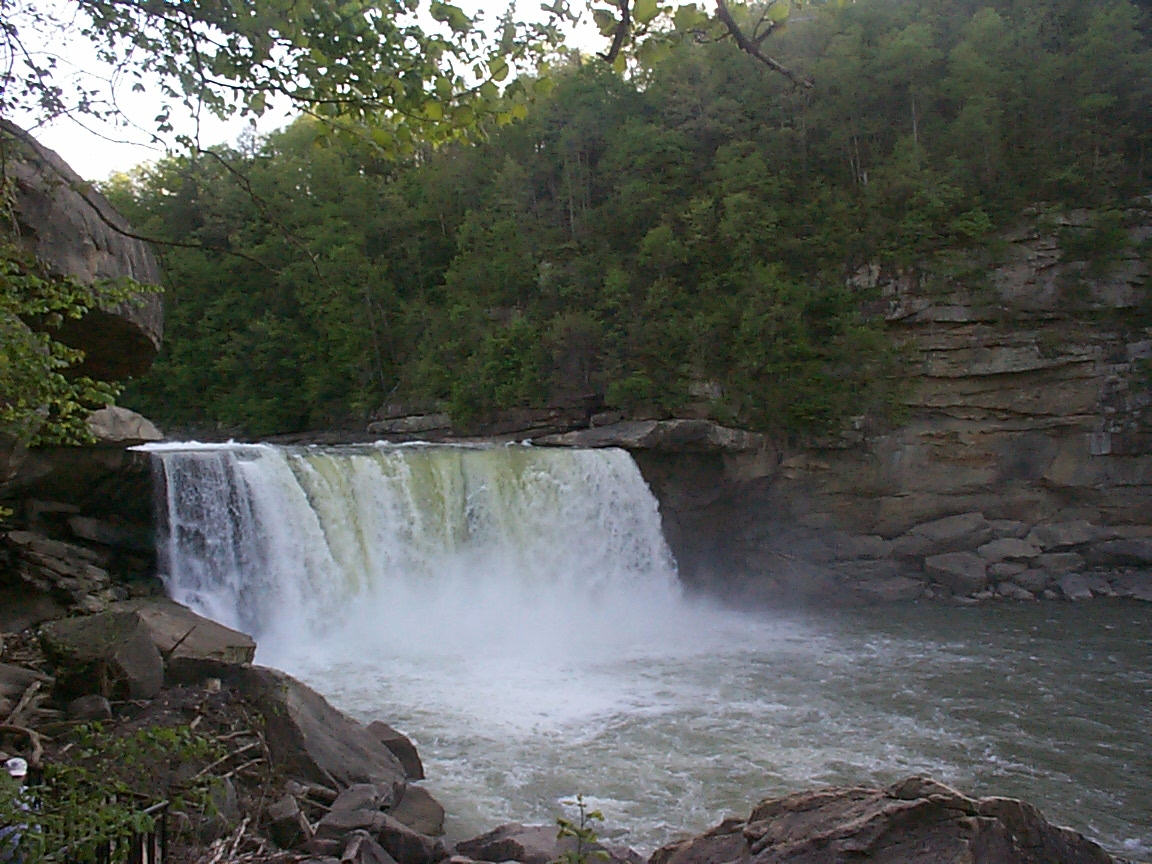
Cumberland Falls

Cumberland Falls
Topographic Map of Old Ruckerville Rd, Winchester, KY, USA
Find elevation by address:

Places near Old Ruckerville Rd, Winchester, KY, USA:
160 Agawam Rd
Clark County
Trapp Goffs Corner Rd, Winchester, KY, USA
11820 Ky-89
2540 College Hill Rd
Winchester Rd, Irvine, KY, USA
Old Boonesboro Rd, Winchester, KY, USA
Winchester Rd, Irvine, KY, USA
443 Walker Parke Rd
Ford Hampton Rd, Winchester, KY, USA
Athens Boonesboro Rd, Winchester, KY, USA
Athens Boonesboro Rd, Winchester, KY, USA
Boonesborough
Combs Ferry Rd, Winchester, KY, USA
Kentucky
146 Aishlins Ct
Carr Lane
614 Cherry Trace Dr
280 Shermans Ln
1245 Mccalls Mill Rd
Recent Searches:
- Elevation of Corso Fratelli Cairoli, 35, Macerata MC, Italy
- Elevation of Tallevast Rd, Sarasota, FL, USA
- Elevation of 4th St E, Sonoma, CA, USA
- Elevation of Black Hollow Rd, Pennsdale, PA, USA
- Elevation of Oakland Ave, Williamsport, PA, USA
- Elevation of Pedrógão Grande, Portugal
- Elevation of Klee Dr, Martinsburg, WV, USA
- Elevation of Via Roma, Pieranica CR, Italy
- Elevation of Tavkvetili Mountain, Georgia
- Elevation of Hartfords Bluff Cir, Mt Pleasant, SC, USA