Elevation of Old Rte 17, Windsor, NY, USA
Location: United States > New York > Broome County > Windsor > Windsor >
Longitude: -75.610083
Latitude: 42.056331
Elevation: 297m / 974feet
Barometric Pressure: 98KPa
Elevation Map:
Satellite Map:
Related Photos:
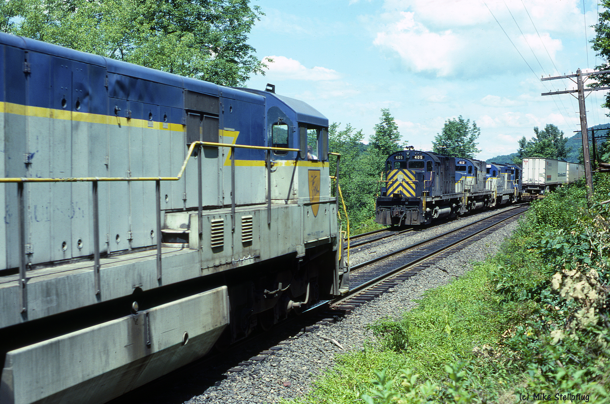
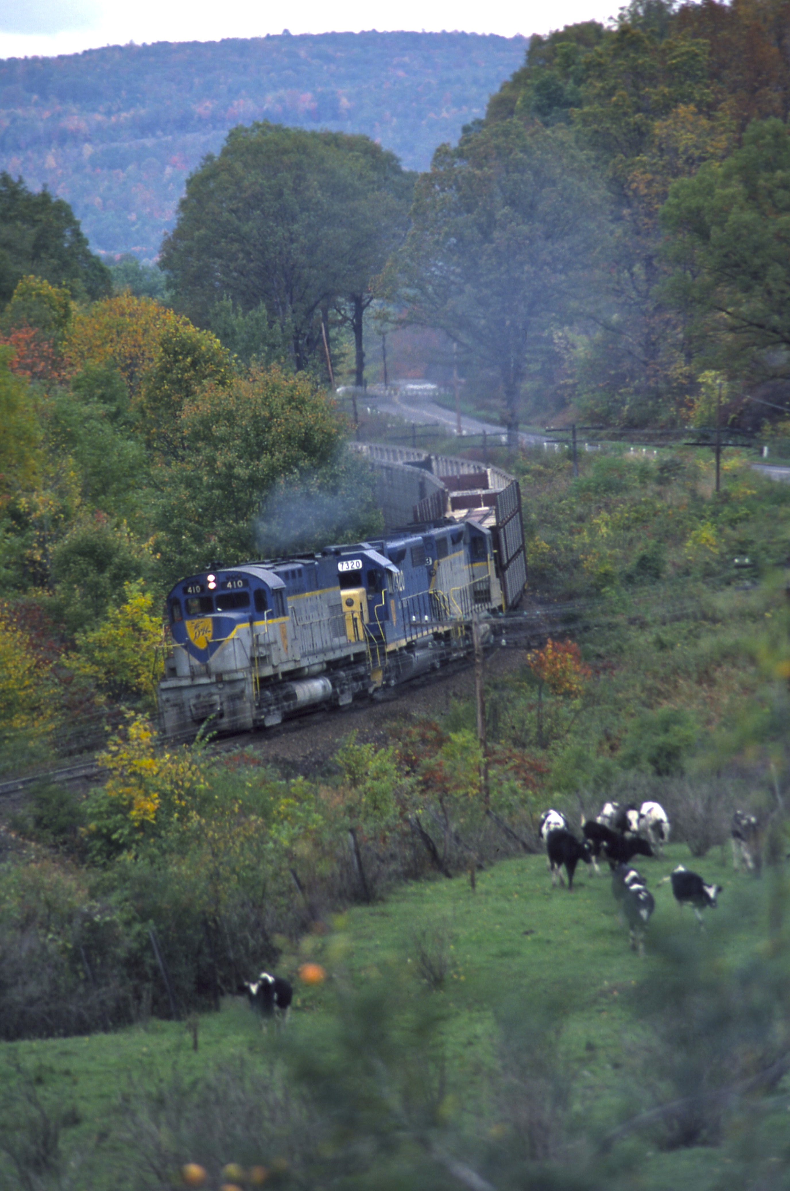
D&H 405 & 762
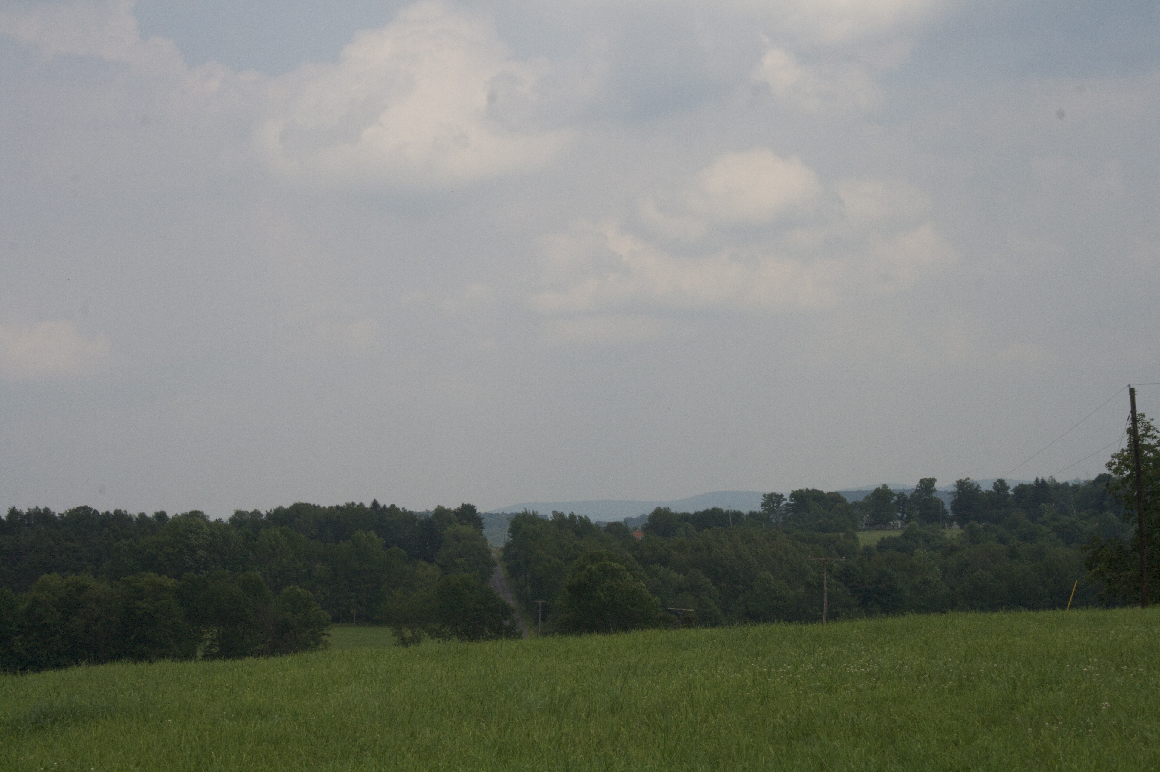
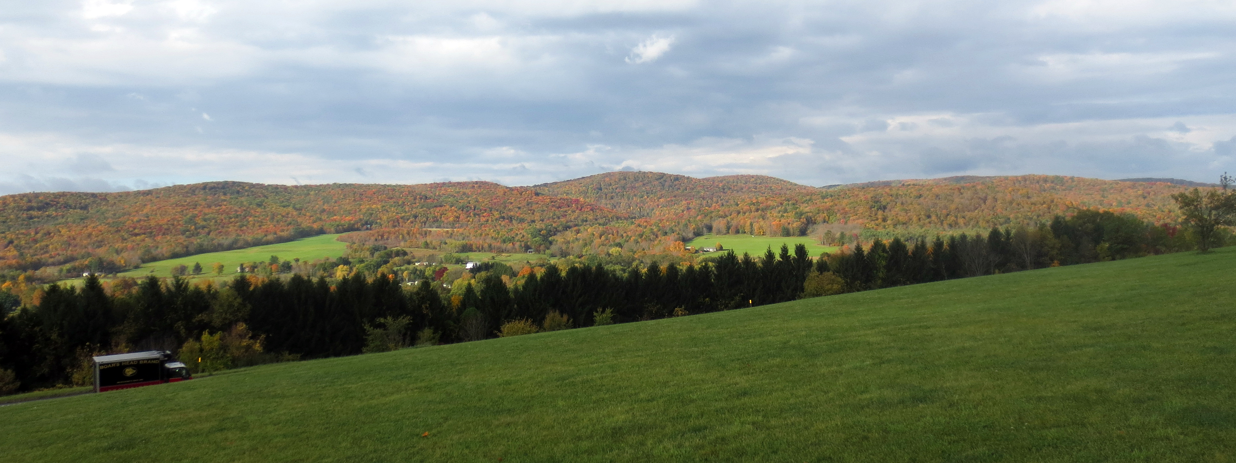
View from the top of the hill

Ginger the Red Heeler
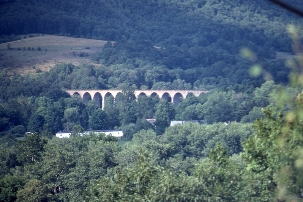
Starucca Viaduct in the distance 7/17/79
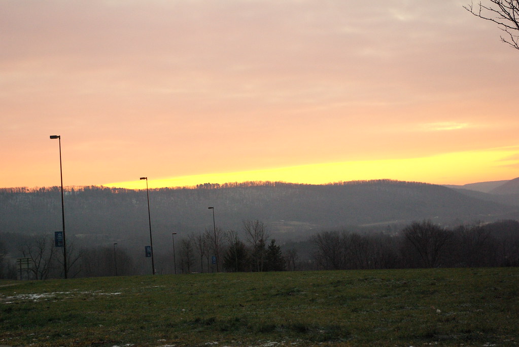
View from Welcome Center at I-81, Binghamton New York State
Oquaga Creek

KTM 690 - Side view

Grasshopper in Aunt Sharon's Tiger Lilly
KTM 690 - View from behind

20080702-155128.JPG

20080702-155202.JPG
20080702-155206.JPG
20080702-155214.JPG

20080702-155242.JPG

20080702-155709.JPG

20080702-155719.JPG
100_2661.JPG
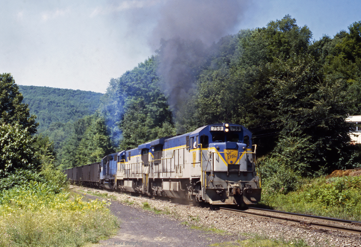
D&H 759 - Lanesboro Detour Part 4 of 5

Southbound 258
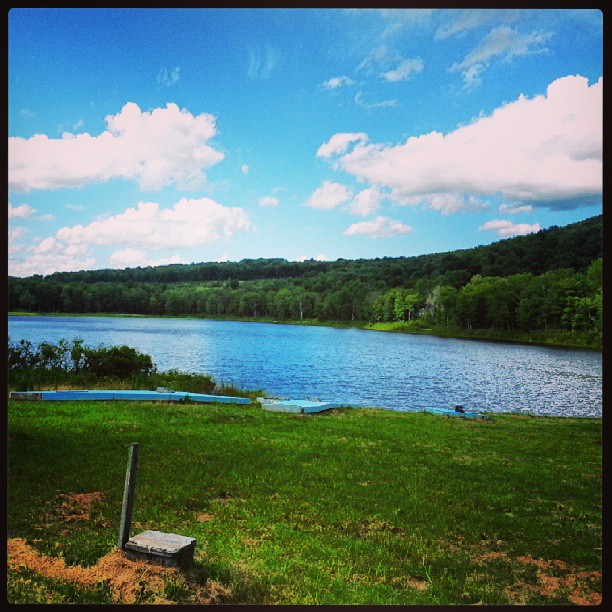
Pond Postcard

365:320 - Night Sky

Under ground lake - Подземное озеро
susquehanna 3
D&H 410
Camp Lowy
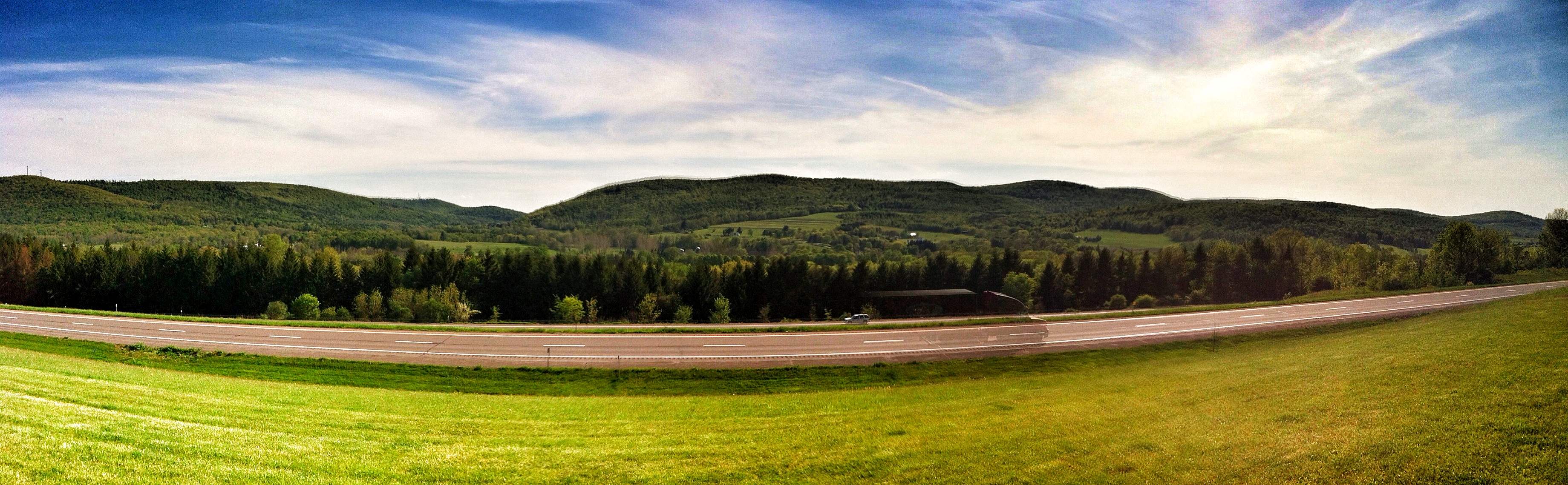
Along 81
wf-FB1

This rest stop is always beautiful at sunset.
Upstate New York
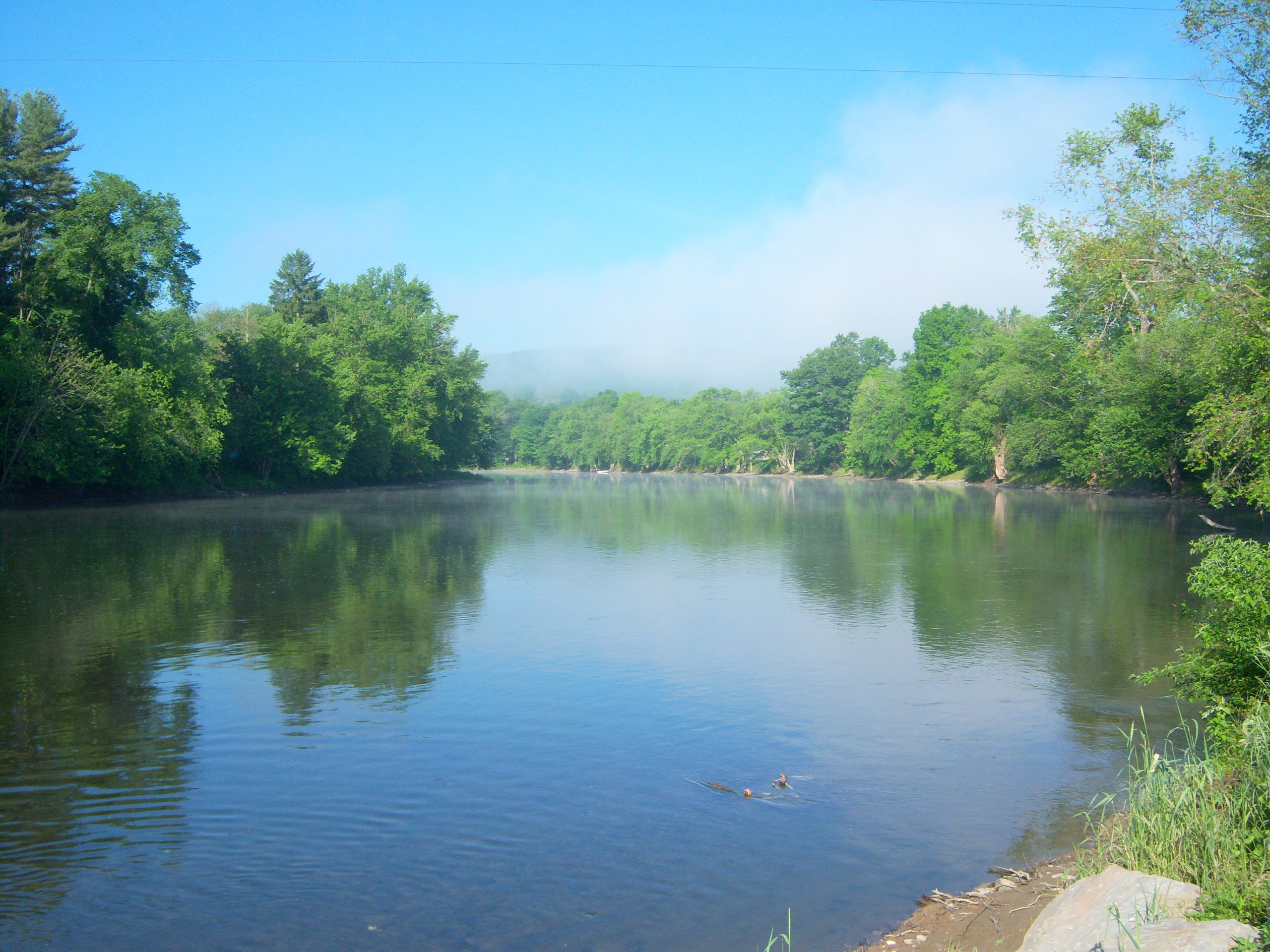
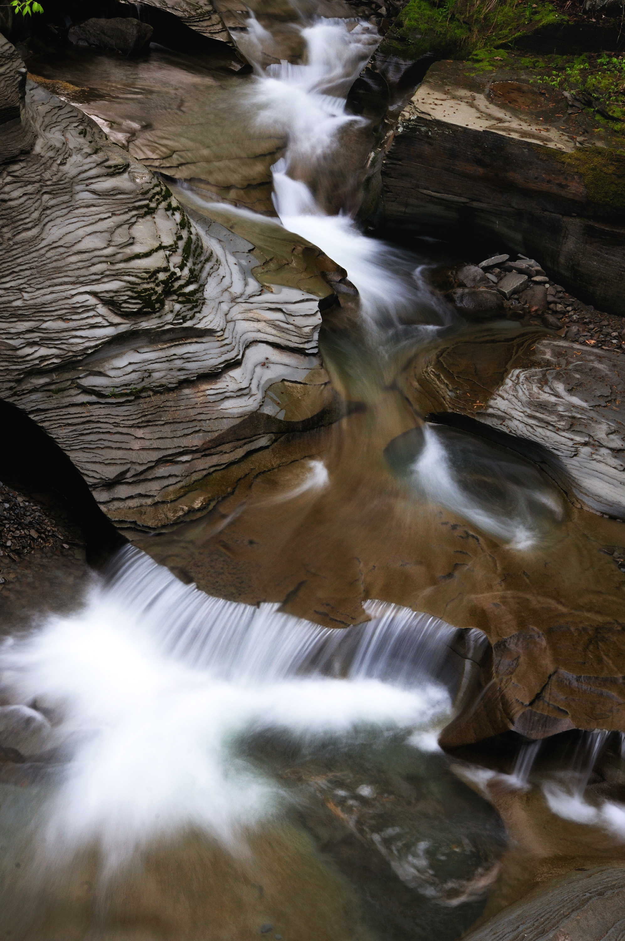
susquehanna 4

Reflections-01.jpg

State Line

Meadow Fritillary
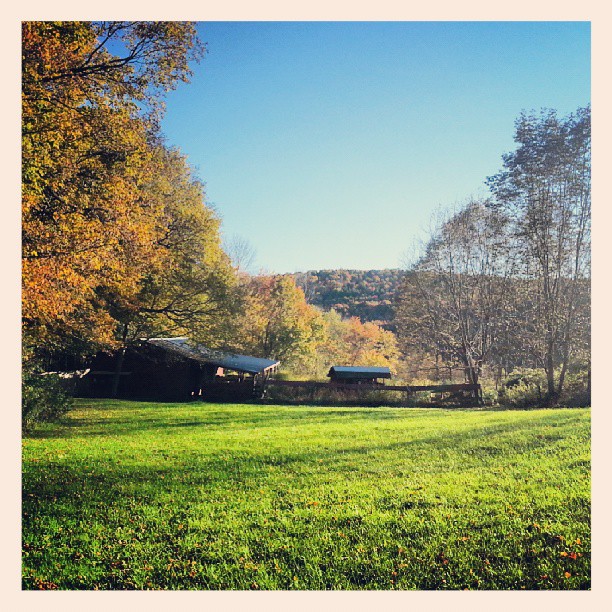
The farm
Topographic Map of Old Rte 17, Windsor, NY, USA
Find elevation by address:

Places near Old Rte 17, Windsor, NY, USA:
89 Dick Merritt Rd
NY-79, Windsor, NY, USA
Windsor
67 Chapel St
Barton Rd, Windsor, NY, USA
Windsor
2690 Ny-79
Rockwell Rd, Windsor, NY, USA
2571 Colesville Rd
85 Martin Hill Rd
Colesville
Harpursville
109 Main St
91 Dunbar Rd
44 Hilltop Ln, Windsor, NY, USA
129 Frost Rd
156 Johnson Rd
Sanitaria Springs Rd, Port Crane, NY, USA
Kirkwood
Kirkwood
Recent Searches:
- Elevation of Corso Fratelli Cairoli, 35, Macerata MC, Italy
- Elevation of Tallevast Rd, Sarasota, FL, USA
- Elevation of 4th St E, Sonoma, CA, USA
- Elevation of Black Hollow Rd, Pennsdale, PA, USA
- Elevation of Oakland Ave, Williamsport, PA, USA
- Elevation of Pedrógão Grande, Portugal
- Elevation of Klee Dr, Martinsburg, WV, USA
- Elevation of Via Roma, Pieranica CR, Italy
- Elevation of Tavkvetili Mountain, Georgia
- Elevation of Hartfords Bluff Cir, Mt Pleasant, SC, USA