Elevation of Old Mill Rd, Caryville, TN, USA
Location: United States > Tennessee > Campbell County > Caryville >
Longitude: -84.178949
Latitude: 36.2487087
Elevation: 293m / 961feet
Barometric Pressure: 98KPa
Elevation Map:
Satellite Map:
Related Photos:

Cantilever Barn

Irwin's Chapel

Norris House Grey Water Garden Elevation
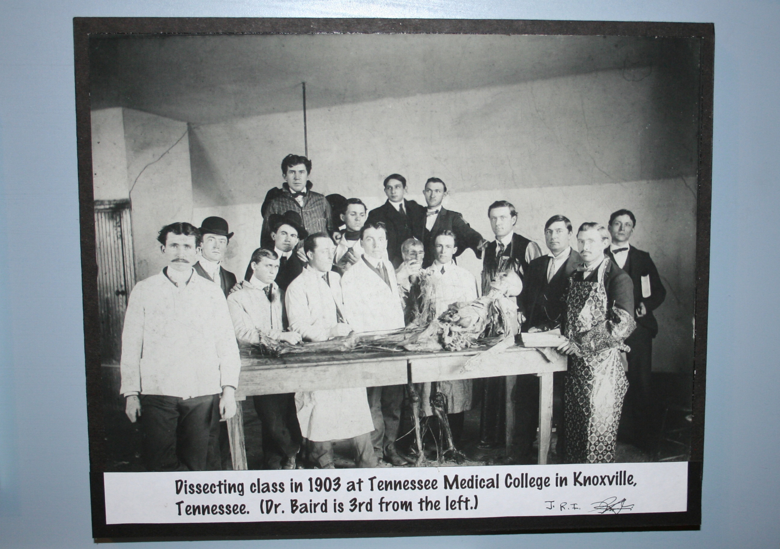
Dissecting Class

angel crowns

Rowe Martin's Chair

Doc Randall's Rear view

Lake View Motor Inn, Caryville, TN

22 Stories Down

Smoking has never been so much fun!

Museum of Appalachia 011

Norris Dam

best dam view

Black-Eyed Susan, Rudbeckia 124_2411.jpg

Jake & Steve View the the Clinch River Weir with Titus & Rowdy

Jake & Steve View the the Clinch River Weir with Titus & Rowdy

Norris view from weir dam
The View from the Tasting Room

Pine Ridge House View

Back to the Clinch

view from the boat

Norris Dam
Green Water, Blue Skies

Rice Mill

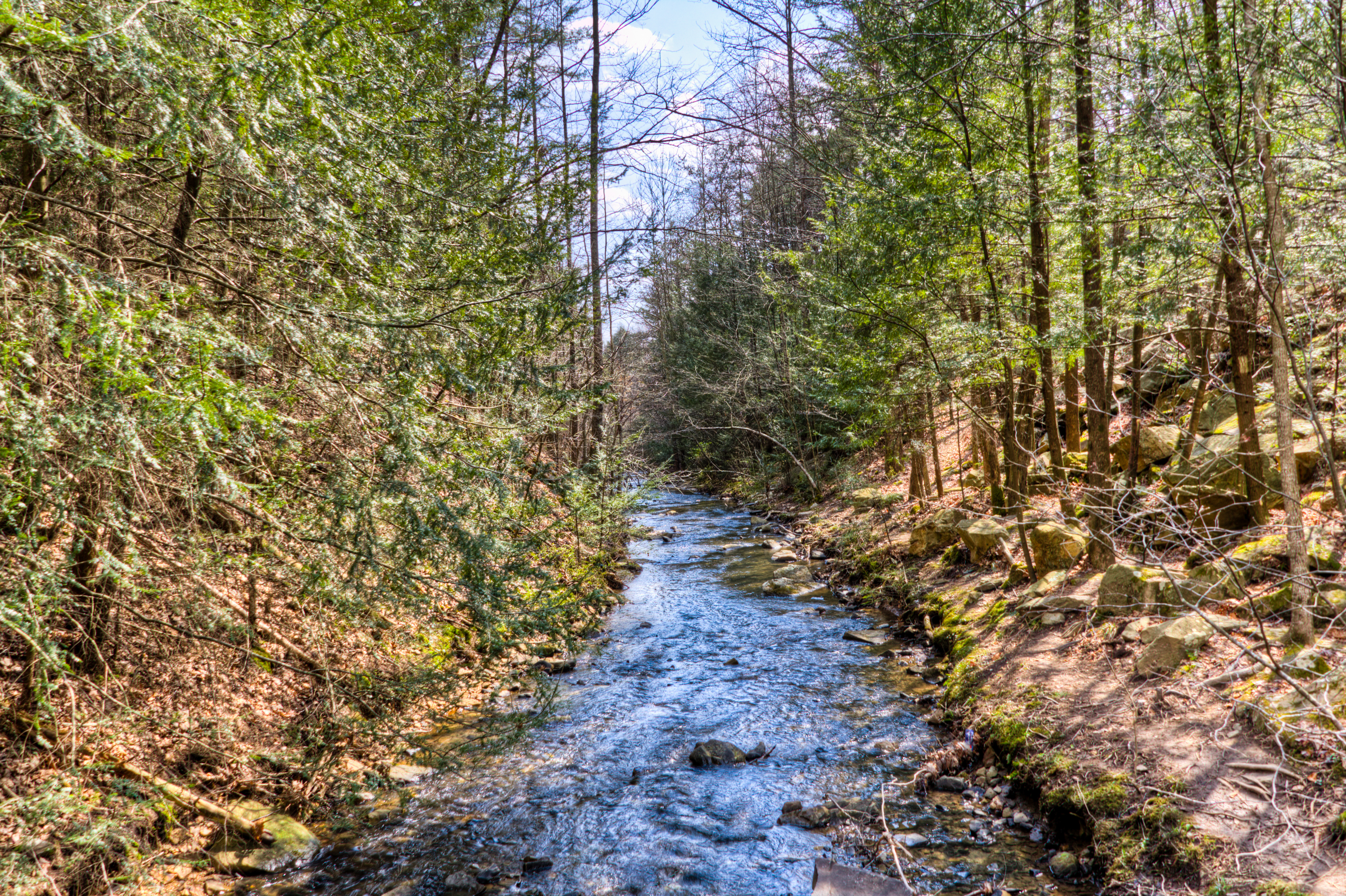
Bruce Creek

For Pam...Fog on the Water

Norris Through the Trees

Norris Dam State Park

Island on the Lake

Norris Resevoir and Dam

Cumberland Mountain segment of the Cumberland Trail

Boy in the Creek at Norris Grist mill

Swainson's Warbler

Norris Resevoir and Dam, Take Two
Cumberland Mountain segment of the Cumberland Trail

Cumberland Mountain segment of the Cumberland Trail
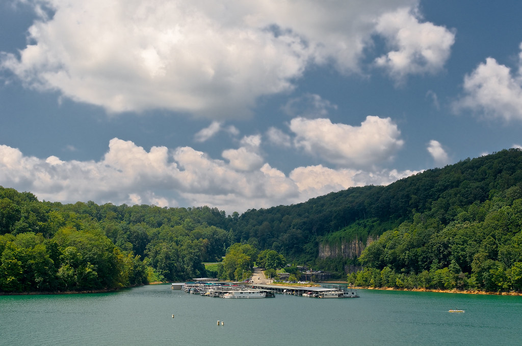
Norris Dam Marina
Cumberland Mountain segment of the Cumberland Trail
Cumberland Mountain segment of the Cumberland Trail

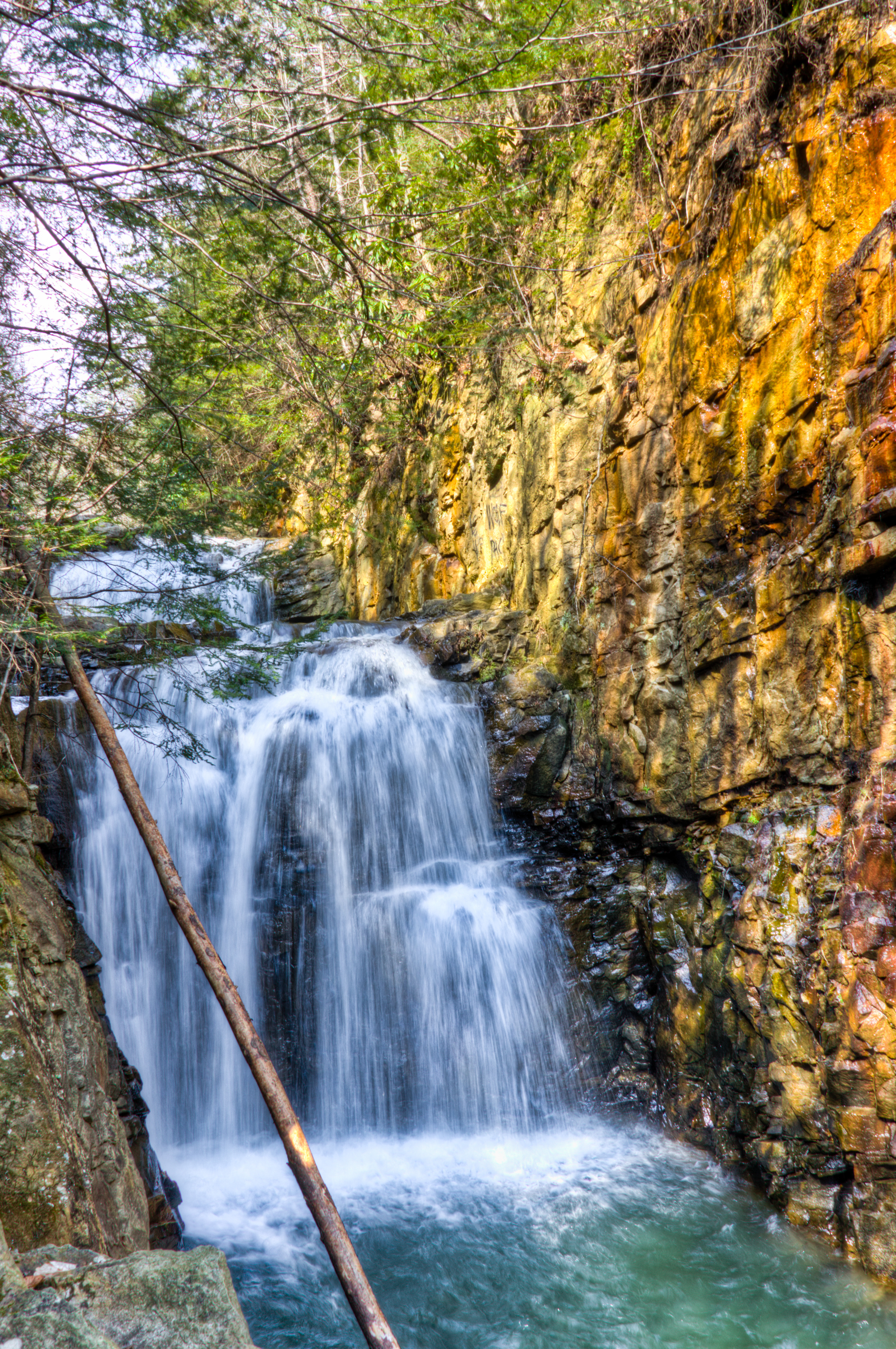
Weir Dam at Norris

Cumberland Mountain segment of the Cumberland Trail

Calyx core at Norris Dam
Topographic Map of Old Mill Rd, Caryville, TN, USA
Find elevation by address:

Places near Old Mill Rd, Caryville, TN, USA:
Cherry Bottom Baptist Church
Ridge View Church
Rocky Top
Fox Ridge Lane
Lakemont Lane
Patty Hill Road
Patty Hill Road
722 Cedar Cir
722 Cedar Cir
722 Cedar Cir
722 Cedar Cir
722 Cedar Cir
722 Cedar Cir
722 Cedar Cir
321 Ridge Rd
321 Ridge Rd
321 Ridge Rd
Gail Lane
Caryville
Jacksboro
Recent Searches:
- Elevation of Corso Fratelli Cairoli, 35, Macerata MC, Italy
- Elevation of Tallevast Rd, Sarasota, FL, USA
- Elevation of 4th St E, Sonoma, CA, USA
- Elevation of Black Hollow Rd, Pennsdale, PA, USA
- Elevation of Oakland Ave, Williamsport, PA, USA
- Elevation of Pedrógão Grande, Portugal
- Elevation of Klee Dr, Martinsburg, WV, USA
- Elevation of Via Roma, Pieranica CR, Italy
- Elevation of Tavkvetili Mountain, Georgia
- Elevation of Hartfords Bluff Cir, Mt Pleasant, SC, USA