Elevation of Old Marion Rd, Metropolis, IL, USA
Location: United States > Illinois > Massac County > Benton >
Longitude: -88.698348
Latitude: 37.2950164
Elevation: 149m / 489feet
Barometric Pressure: 100KPa
Elevation Map:
Satellite Map:
Related Photos:

from 37,000 feet

from 37,000 feet

Ode to Tenacity II
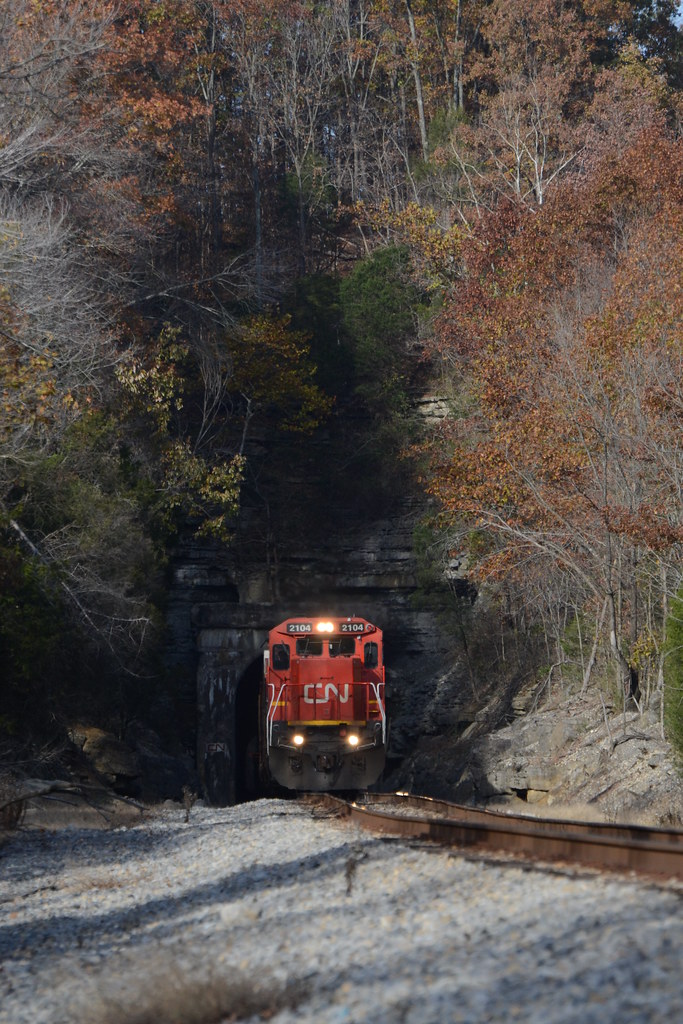
Ozark Autumn at Tunnel #3

IMG_4703 b&w

The View From Fort Massac

IMG_5176 b&w

Giant Leaves

4 Miles from Brownfield

shawnee 3-2005 32

shawnee 3-2005 27

Mermet Lake

Marsh Spring

52-2.jpg

Mermet Reserve

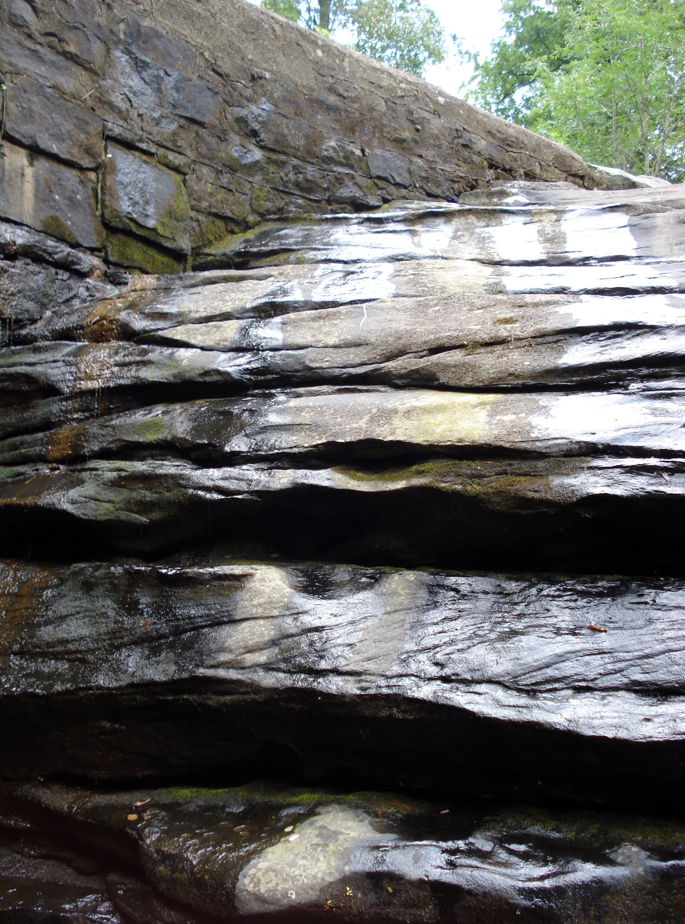
Dixons Springs Waterfall

Oct 25, 2008

This is heaven to me
Dixon Springs

43.jpg

Mermet Lake

20031017-131148

Oct 25, 2008
Topographic Map of Old Marion Rd, Metropolis, IL, USA
Find elevation by address:

Places near Old Marion Rd, Metropolis, IL, USA:
Benton
Marion Rd, Metropolis, IL, USA
Round Knob
Renshaw
Massac County
Grant
Grantsburg
4105 Macedonia Church Rd
3675 George May Ln
6344 New Hope Rd
Jefferson Precinct
530 Kerley Loop
307 Massac Creek Rd
70 Jon St
122 Carter Dr
3 Woodhaven Dr
84 Mt Zion Church Rd, Golconda, IL, USA
15 White Oak Ln
East 5th Street
15 Adams Way
Recent Searches:
- Elevation of Corso Fratelli Cairoli, 35, Macerata MC, Italy
- Elevation of Tallevast Rd, Sarasota, FL, USA
- Elevation of 4th St E, Sonoma, CA, USA
- Elevation of Black Hollow Rd, Pennsdale, PA, USA
- Elevation of Oakland Ave, Williamsport, PA, USA
- Elevation of Pedrógão Grande, Portugal
- Elevation of Klee Dr, Martinsburg, WV, USA
- Elevation of Via Roma, Pieranica CR, Italy
- Elevation of Tavkvetili Mountain, Georgia
- Elevation of Hartfords Bluff Cir, Mt Pleasant, SC, USA