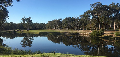
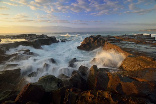
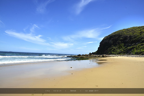
Elevation of Old Main Road, Fennell Bay NSW, Australia
Location: Australia > New South Wales > Lake Macquarie City Council > Fennell Bay >
Longitude: 151.596144
Latitude: -32.976662
Elevation: 19m / 62feet
Barometric Pressure: 101KPa
Related Photos:
Topographic Map of Old Main Road, Fennell Bay NSW, Australia
Find elevation by address:

Places near Old Main Road, Fennell Bay NSW, Australia:
31 Sandra St
15 Awaba St
3 Gilwell Cl
Fassifern
Fennell Bay
8 Quigley Rd
3 Anzac Parade
21 Anzac Parade
Bolton Point
21 Jefferson Rd
29 Shelley St
250 Awaba Rd
206 Awaba Rd
178 The Boulevarde
7 Milford St
4 Bambara St
233 Brighton Ave
22 Milford St
2 Nita St
42 Milford St
Recent Searches:
- Elevation of Corso Fratelli Cairoli, 35, Macerata MC, Italy
- Elevation of Tallevast Rd, Sarasota, FL, USA
- Elevation of 4th St E, Sonoma, CA, USA
- Elevation of Black Hollow Rd, Pennsdale, PA, USA
- Elevation of Oakland Ave, Williamsport, PA, USA
- Elevation of Pedrógão Grande, Portugal
- Elevation of Klee Dr, Martinsburg, WV, USA
- Elevation of Via Roma, Pieranica CR, Italy
- Elevation of Tavkvetili Mountain, Georgia
- Elevation of Hartfords Bluff Cir, Mt Pleasant, SC, USA


