Elevation of Old Highway 10 East, Old Hwy 10 E, North Carolina, USA
Location: United States > North Carolina > Mcdowell County > Nebo > Nebo >
Longitude: -81.953614
Latitude: 35.714584
Elevation: 413m / 1355feet
Barometric Pressure: 96KPa
Elevation Map:
Satellite Map:
Related Photos:
Tom's Creek Falls 2
Paddys Creek Farm 15/365
Pinch In Trail

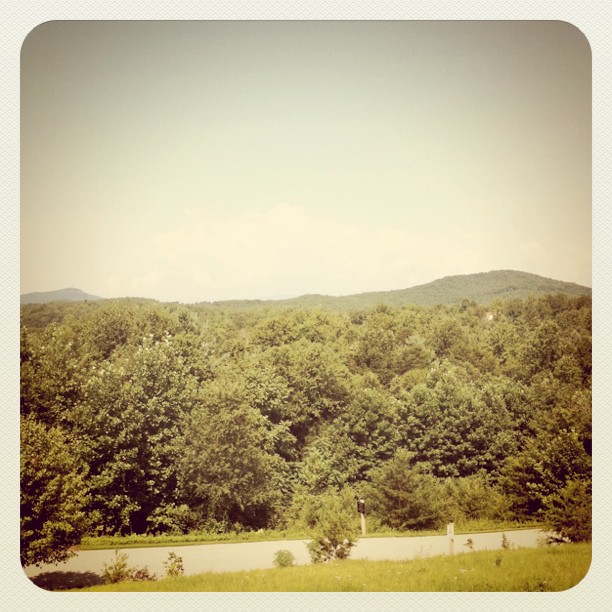
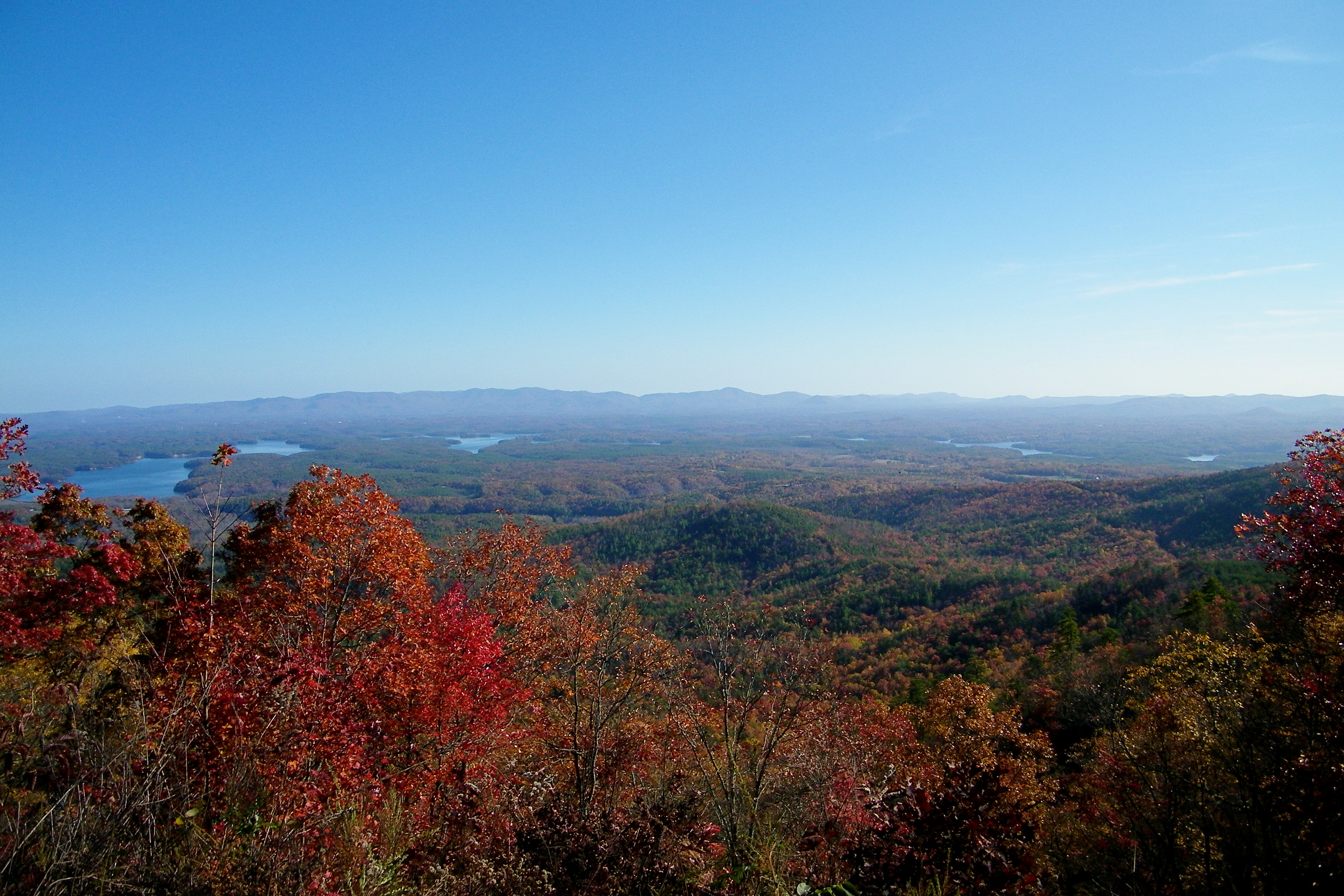
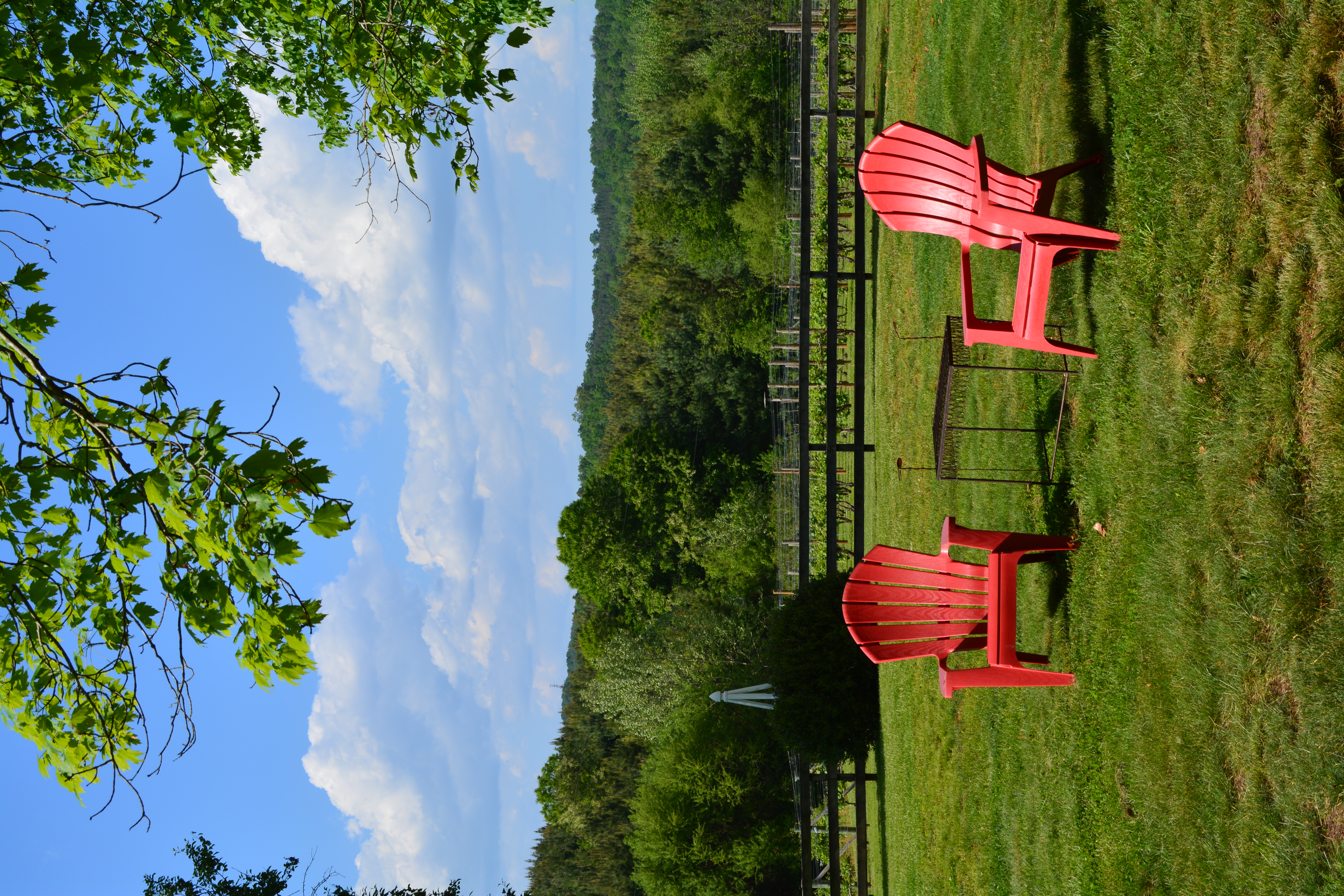
Drinking in that mountain view #vineyard #NC #wine

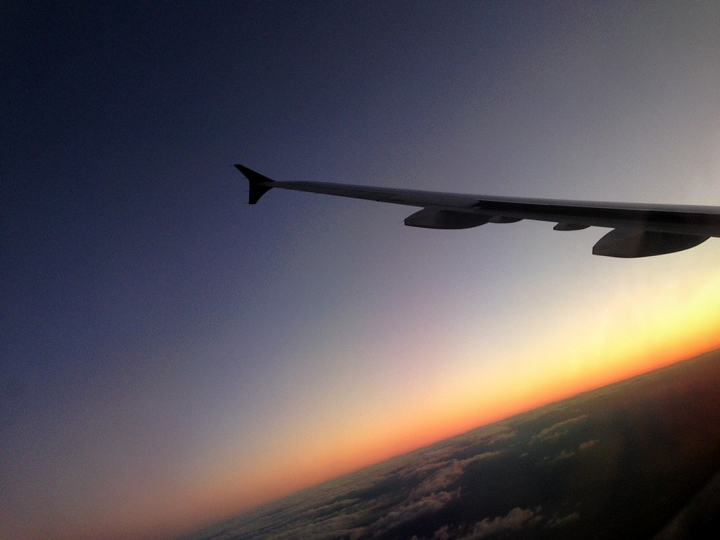
#USAirways flight to #Charlotte, #NorthCarolina / #CLT / #CharlotteDouglasInternationalAirport
#USAirways flight to #Charlotte, #NorthCarolina / #CLT / #CharlotteDouglasInternationalAirport
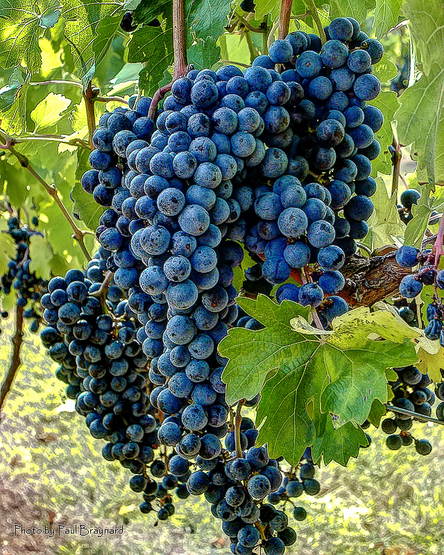
Glorious Grapes

Icy Cascade

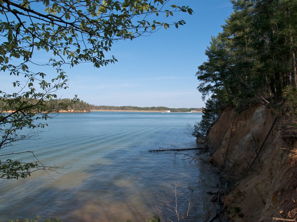
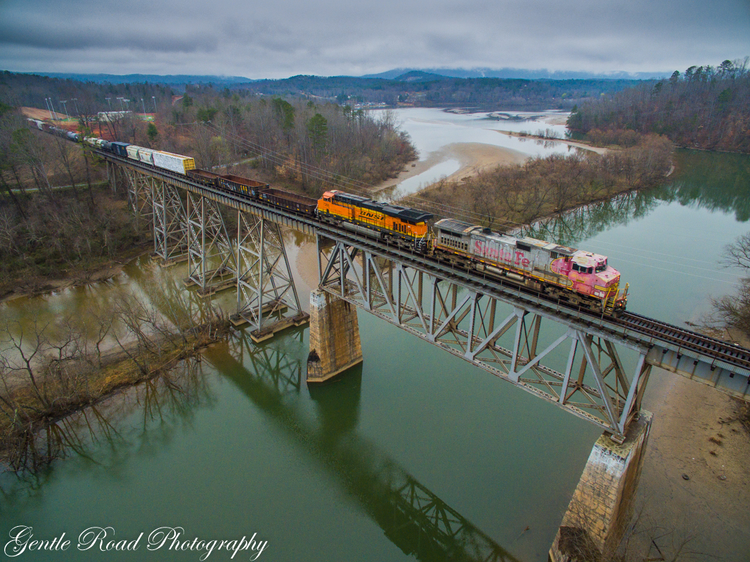
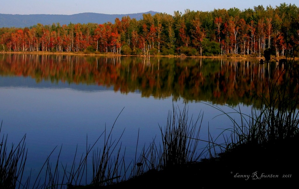
Lake James
The view from Lari's front window

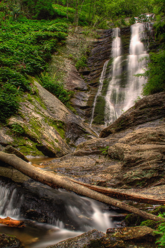
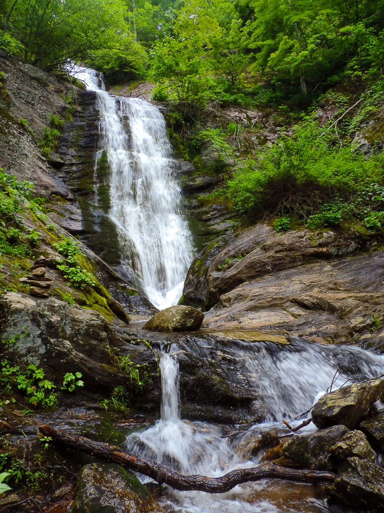
Tom's Creek Falls
The view (sans hot topics)
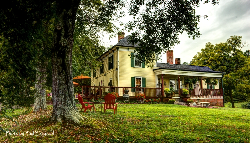
South Creek Vineyard - Tasting Room
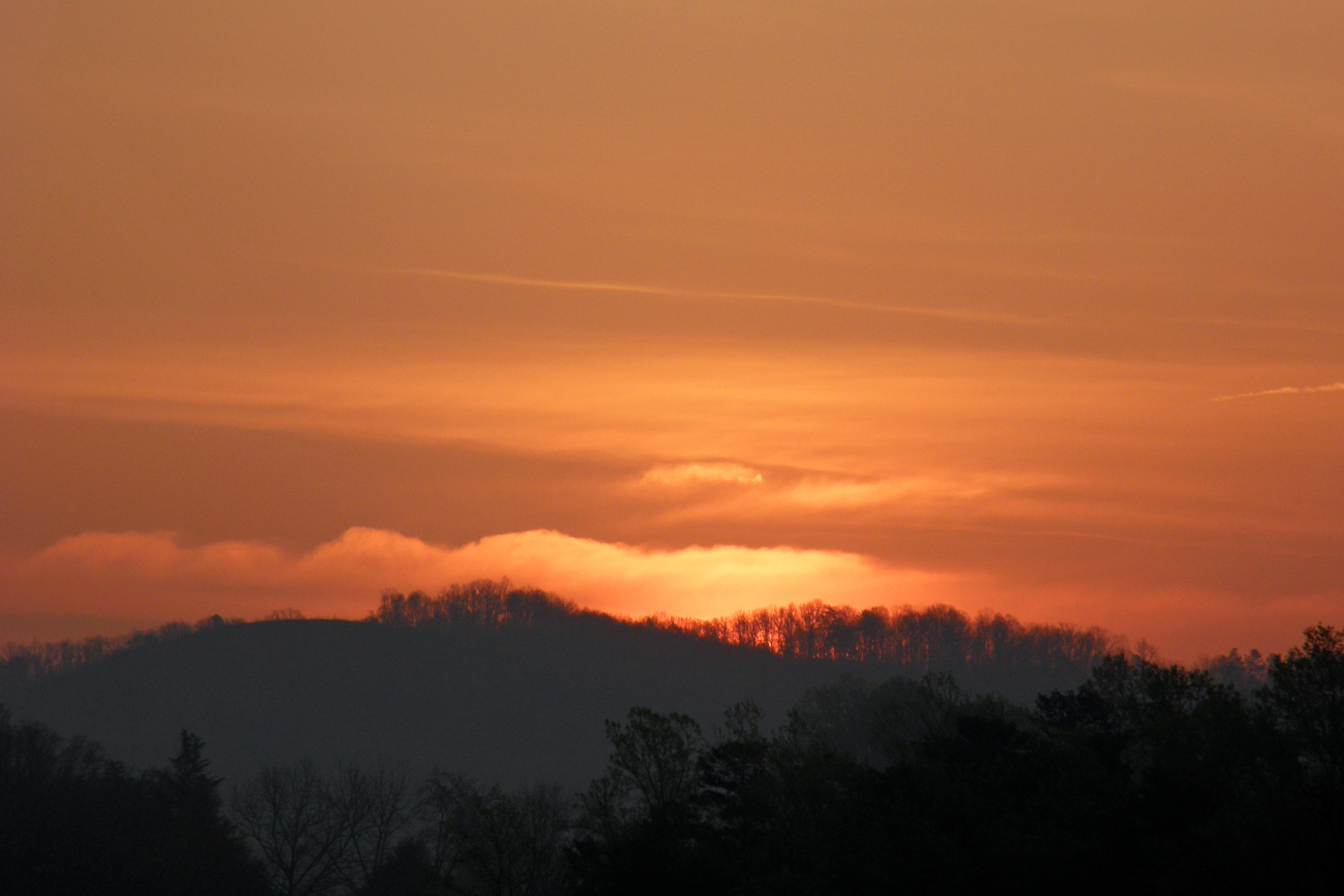
Sunrise 080410
Old Hwy 105
Eeseeoh #1
Pinch In Trail

Sliver Fork View
Old Hwy 105
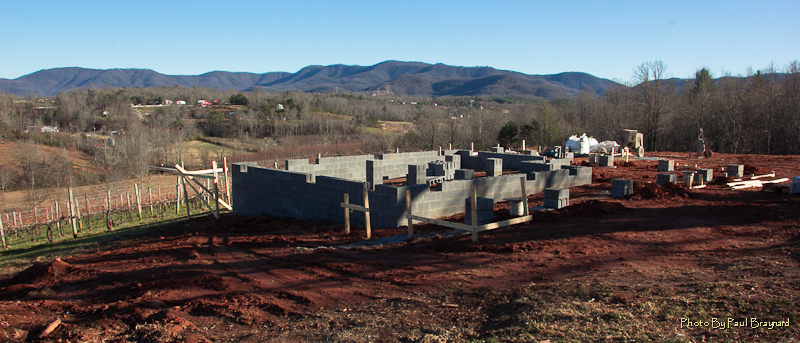
New Vineyard Tasting Room
Catawba Dam on Lake James
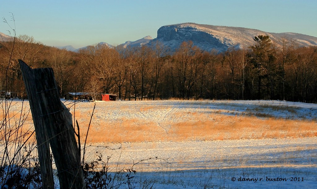
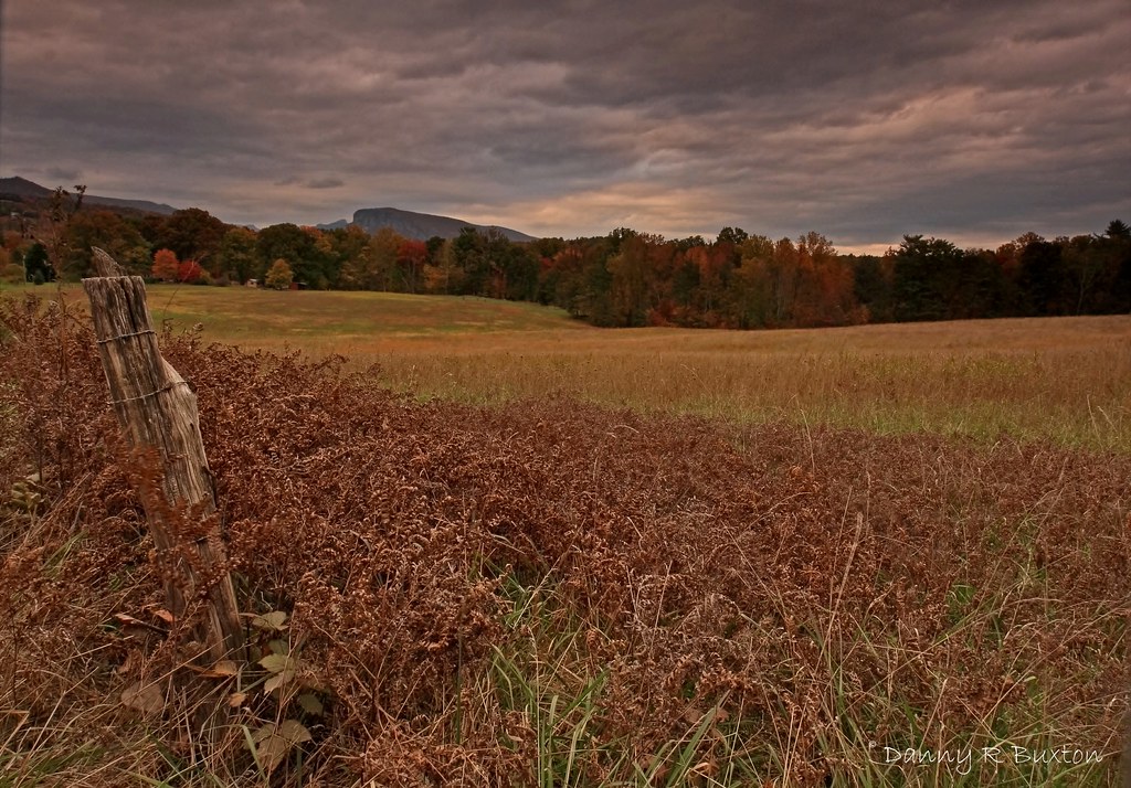
Beyond the Fence
A long way from Albuquerque

Coming Storm

Mill's Creek Trail
South Creek Winery
Angry Skies of October 301/365
Tom's Creek Falls-6470
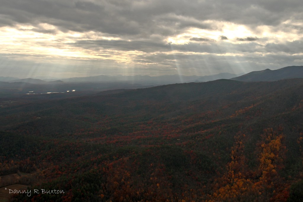
Rays of Light 319/365
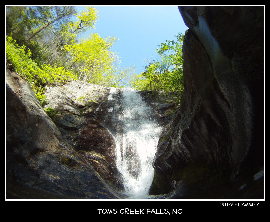
Toms Creek Falls near Marion, NC

Indian Sign Tree 357/365

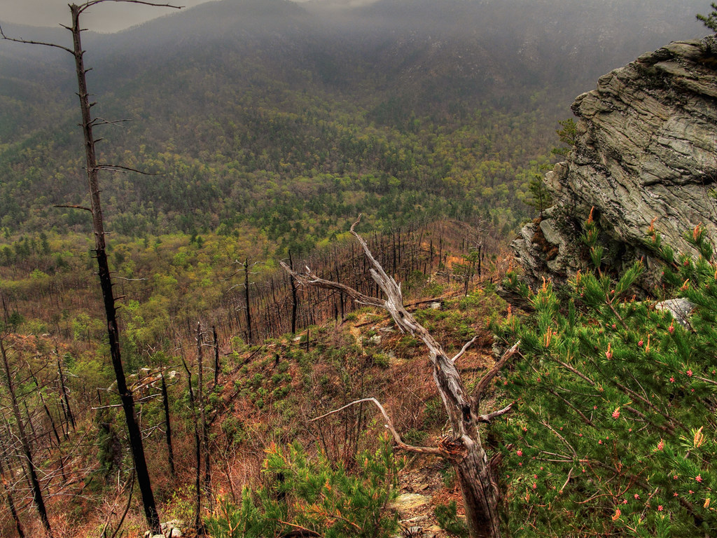
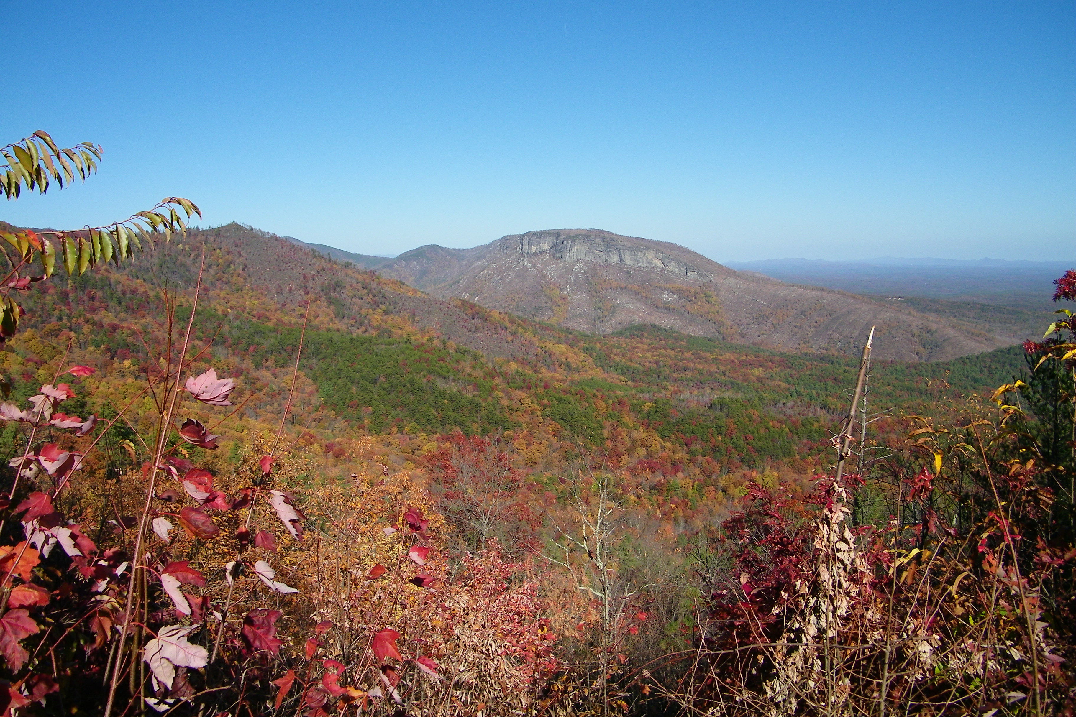
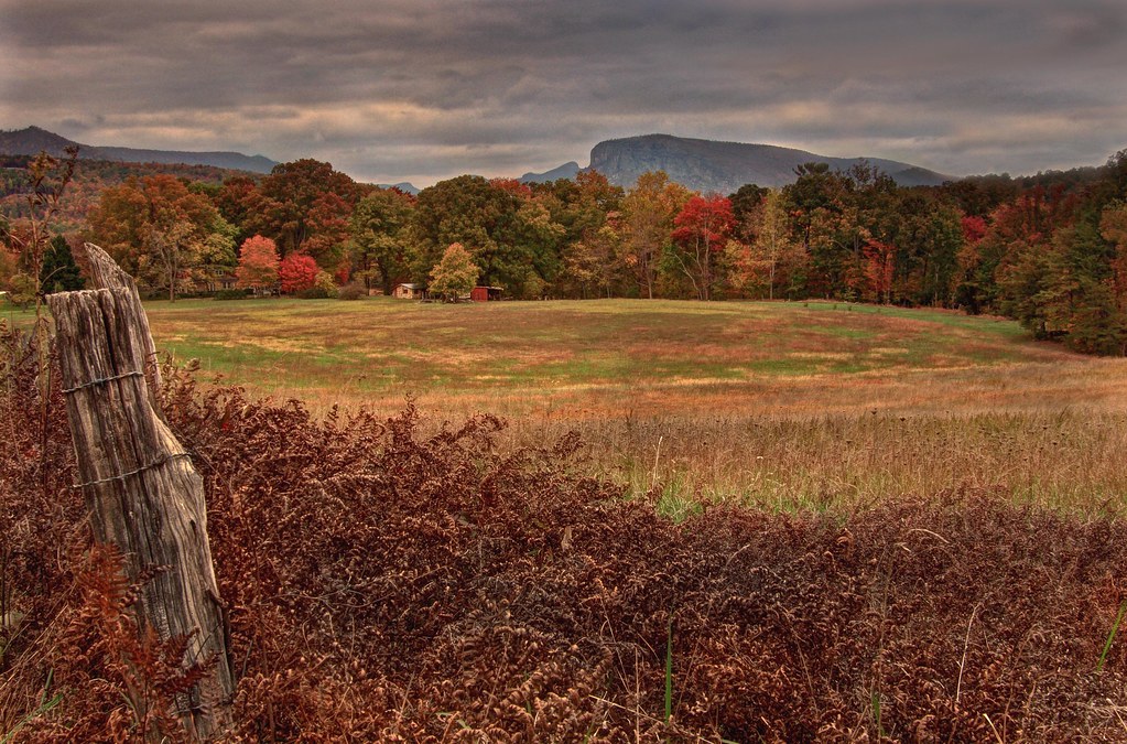
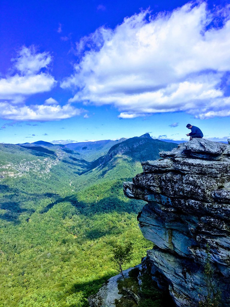
Linville Gorge from Shortoff Mtn
Linville Flats, Lake James 277/365
Linville Gorge Edit I

Lake Tahoma
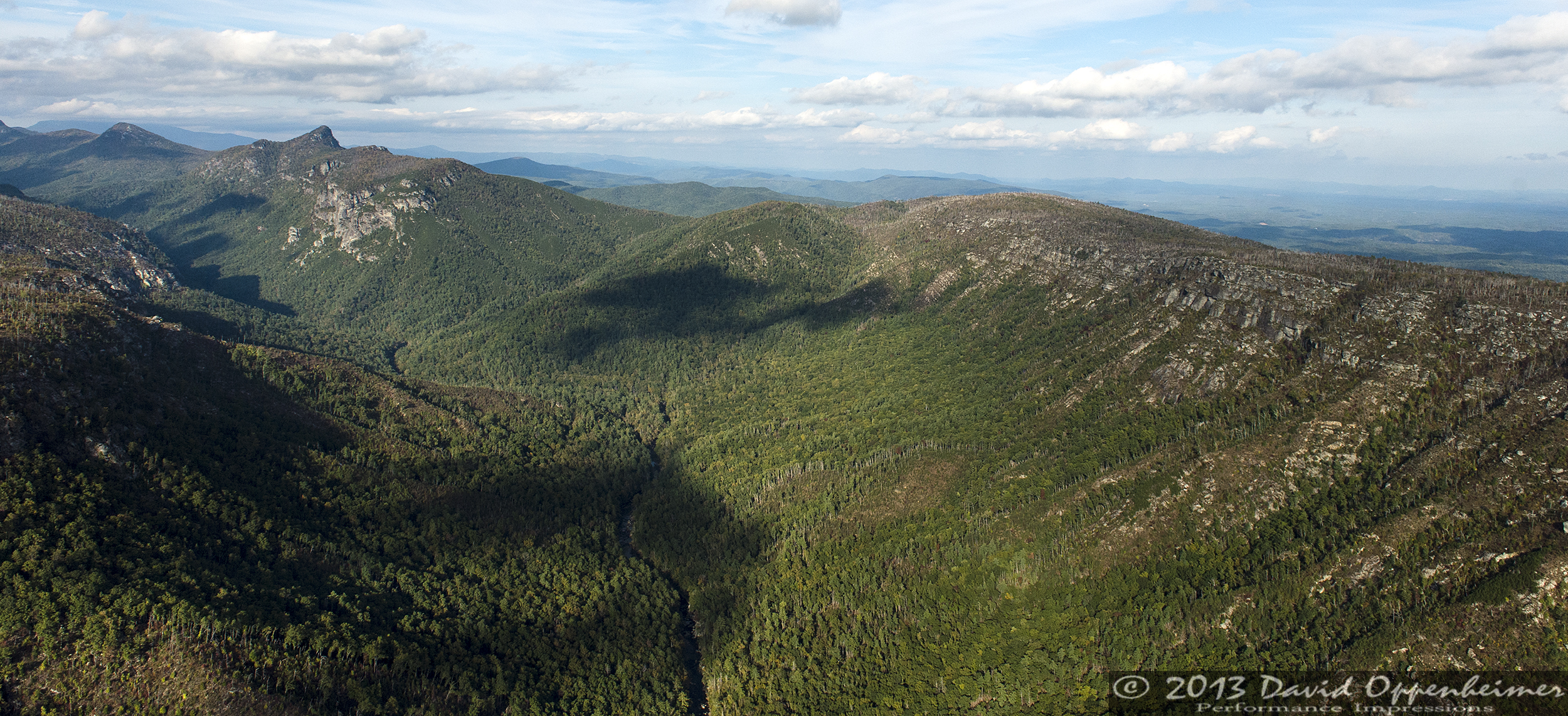
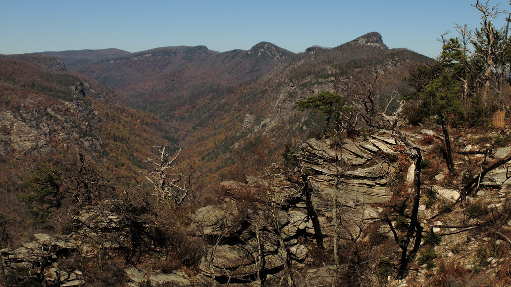
Linville Gorge Wilderness
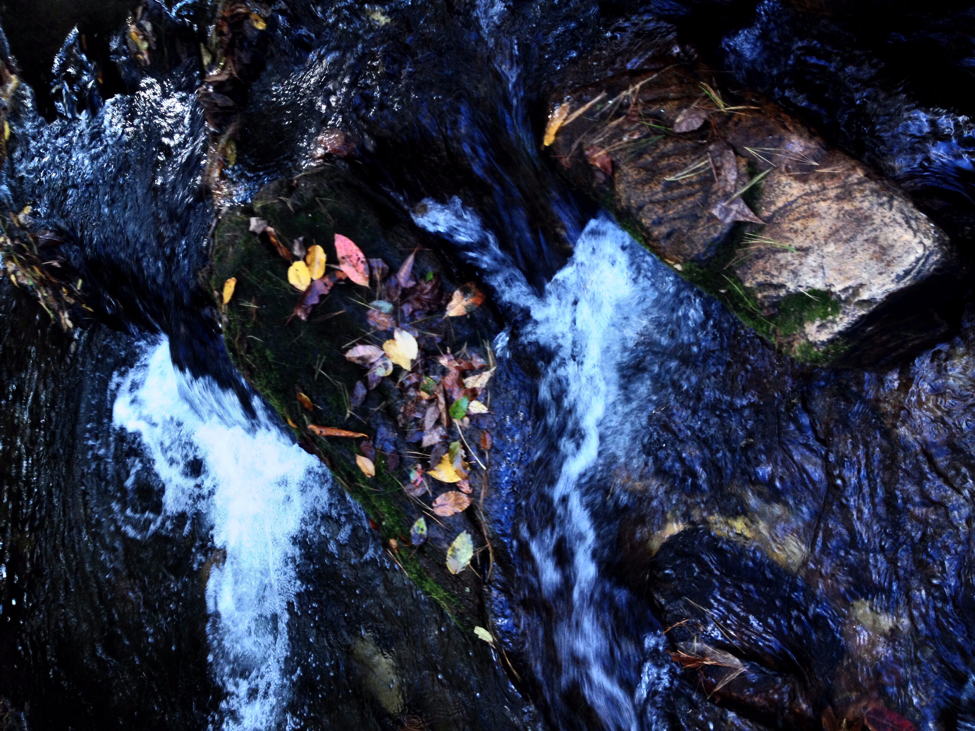
Little Falls in Creek

Light Around the Corner

Lake peeking out
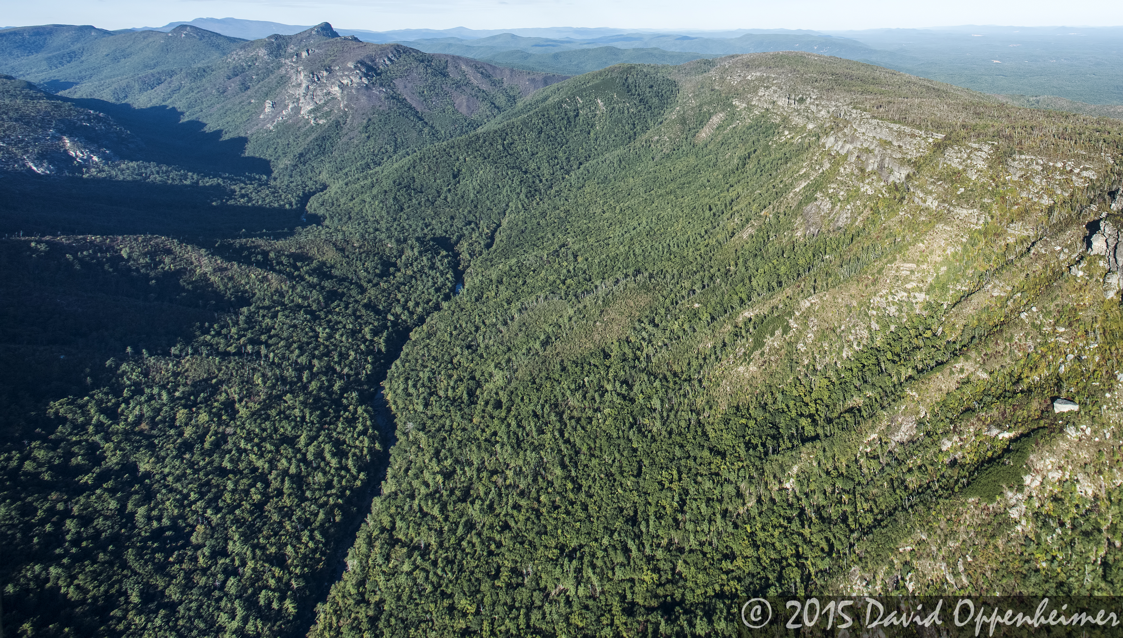
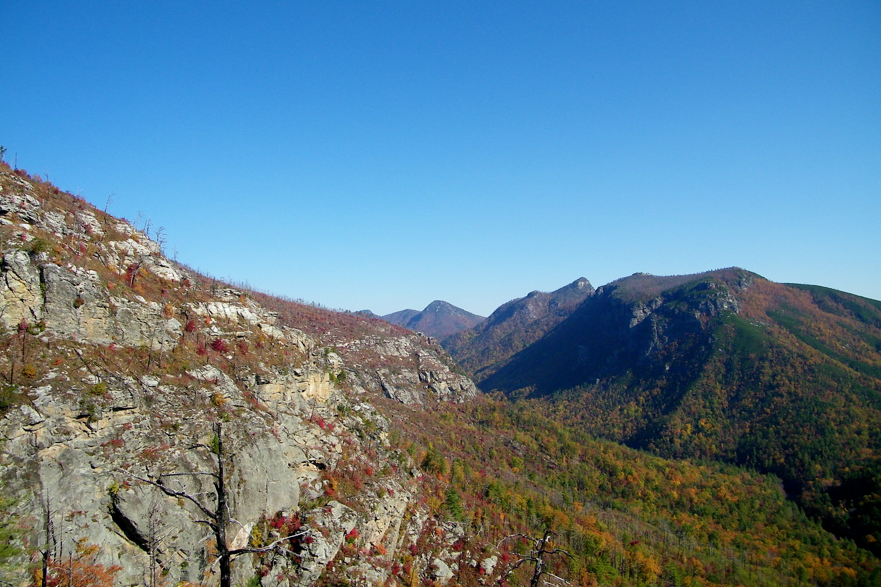
Linville Gorge Wilderness
Topographic Map of Old Highway 10 East, Old Hwy 10 E, North Carolina, USA
Find elevation by address:

Places near Old Highway 10 East, Old Hwy 10 E, North Carolina, USA:
668 Roland Chapel Rd
48 Honeycutt Ln
276 Twin Oaks Dr
276 Twin Oaks Dr
276 Twin Oaks Dr
276 Twin Oaks Dr
276 Twin Oaks Dr
276 Twin Oaks Dr
3341 Old Hwy 10 E
3341 Old Hwy 10 E
3341 Old Hwy 10 E
Forest Ridge Court
121 Willitts Point Blvd
405 Jack Corpening Rd
Nebo Fire Department
Nebo
541 Nebo School Rd
728 Ned Mcgimsey Rd
Nebo School Road
Nebo
Recent Searches:
- Elevation of Corso Fratelli Cairoli, 35, Macerata MC, Italy
- Elevation of Tallevast Rd, Sarasota, FL, USA
- Elevation of 4th St E, Sonoma, CA, USA
- Elevation of Black Hollow Rd, Pennsdale, PA, USA
- Elevation of Oakland Ave, Williamsport, PA, USA
- Elevation of Pedrógão Grande, Portugal
- Elevation of Klee Dr, Martinsburg, WV, USA
- Elevation of Via Roma, Pieranica CR, Italy
- Elevation of Tavkvetili Mountain, Georgia
- Elevation of Hartfords Bluff Cir, Mt Pleasant, SC, USA