Elevation of Old Dandridge Pike, New Market, TN, USA
Location: United States > Tennessee >
Longitude: -83.63521
Latitude: 36.035145
Elevation: 394m / 1293feet
Barometric Pressure: 97KPa
Elevation Map:
Satellite Map:
Related Photos:
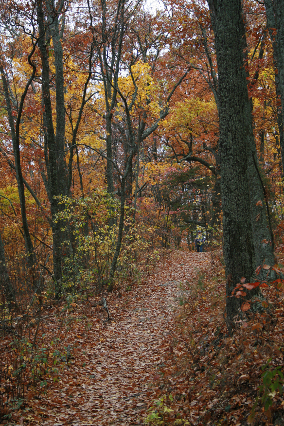
Top Trail
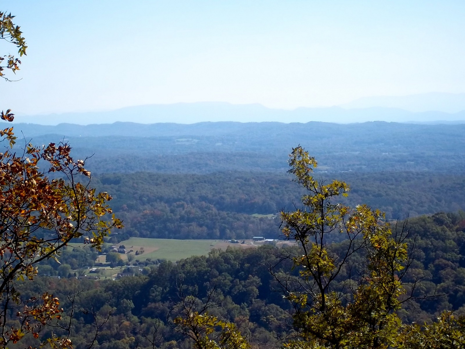
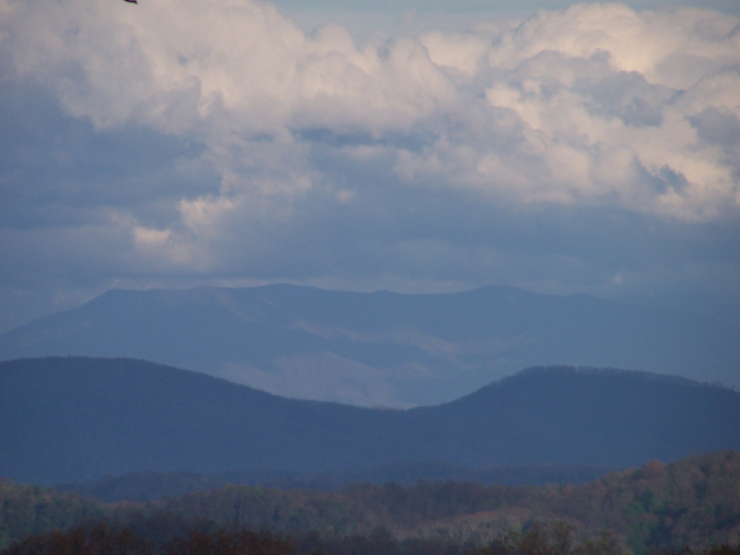
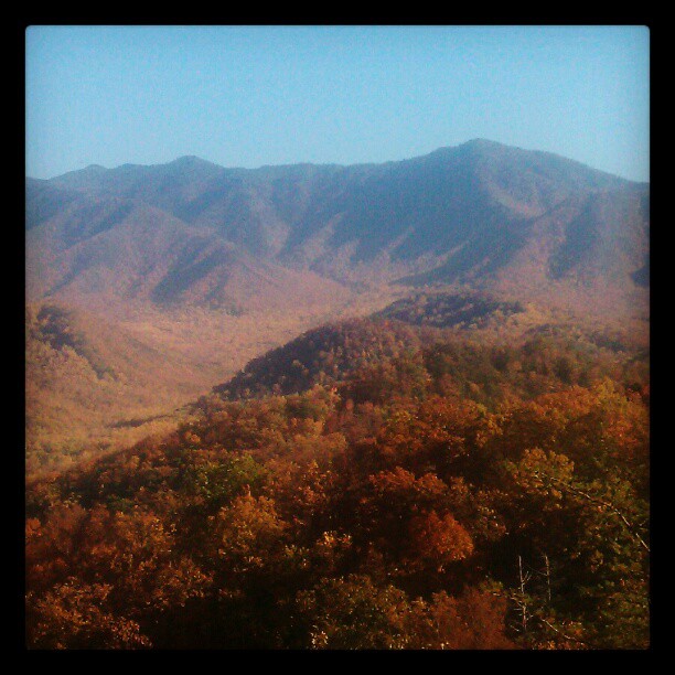
View Towards Chilhowee Mountain
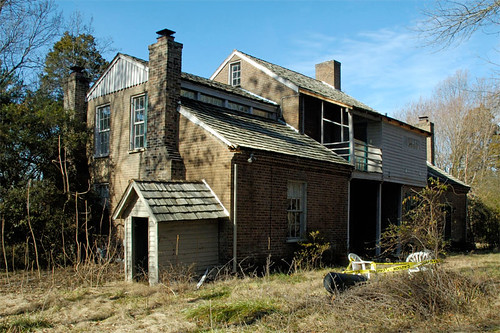
Five Chimneys Rear View

Eastern Ringtail male

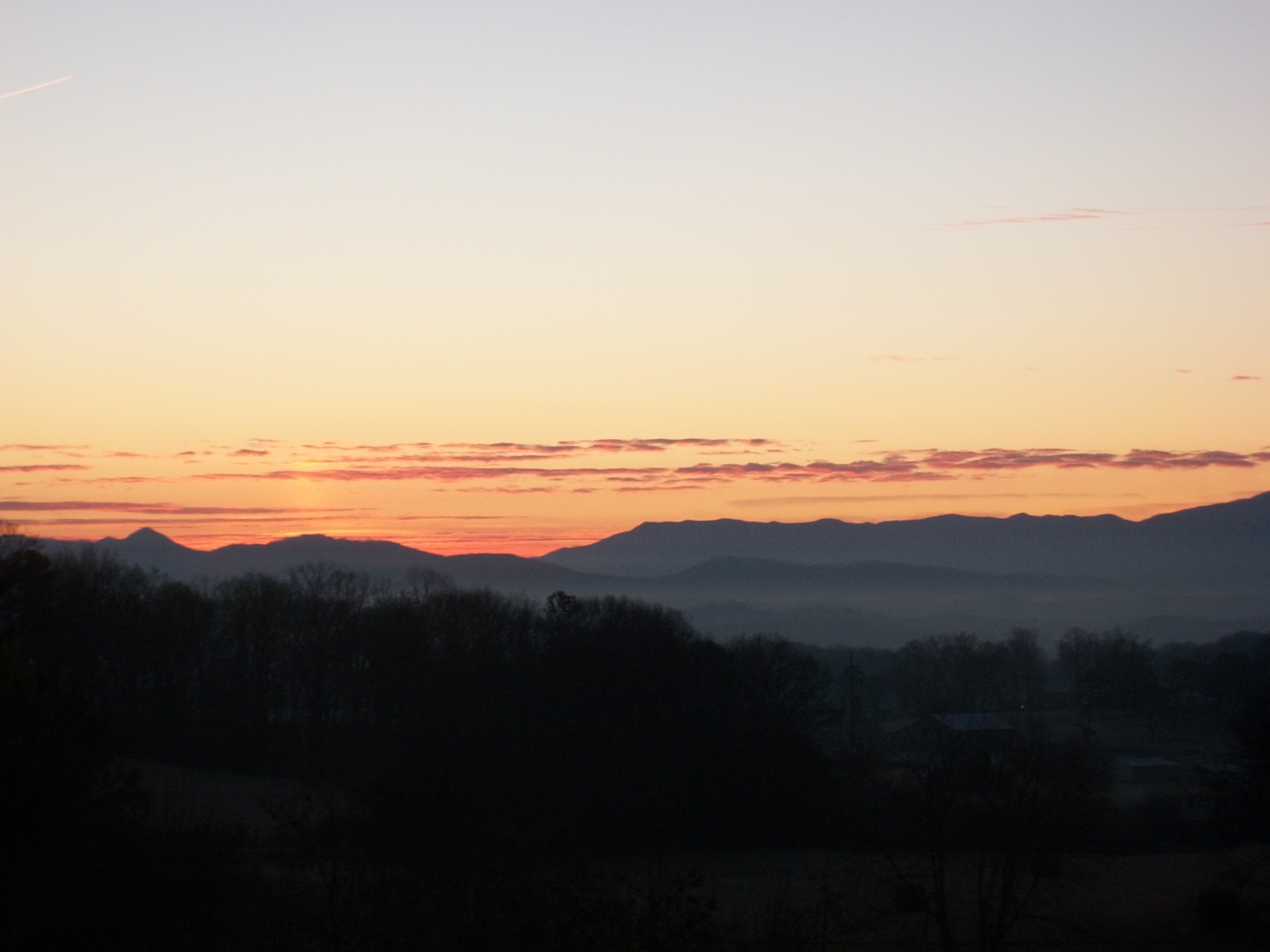
sunrise close up
sunrise spread

Jack-in-the-Pulpit 139_3904.jpg

night view
7 Islands - view from Steamboat Island Trail
IMG_0729.jpg
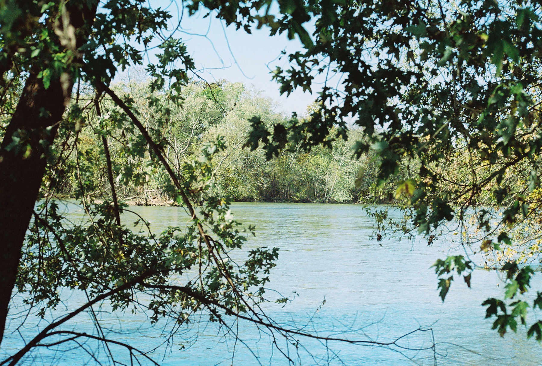
7 Islands - view from bench on River Trail
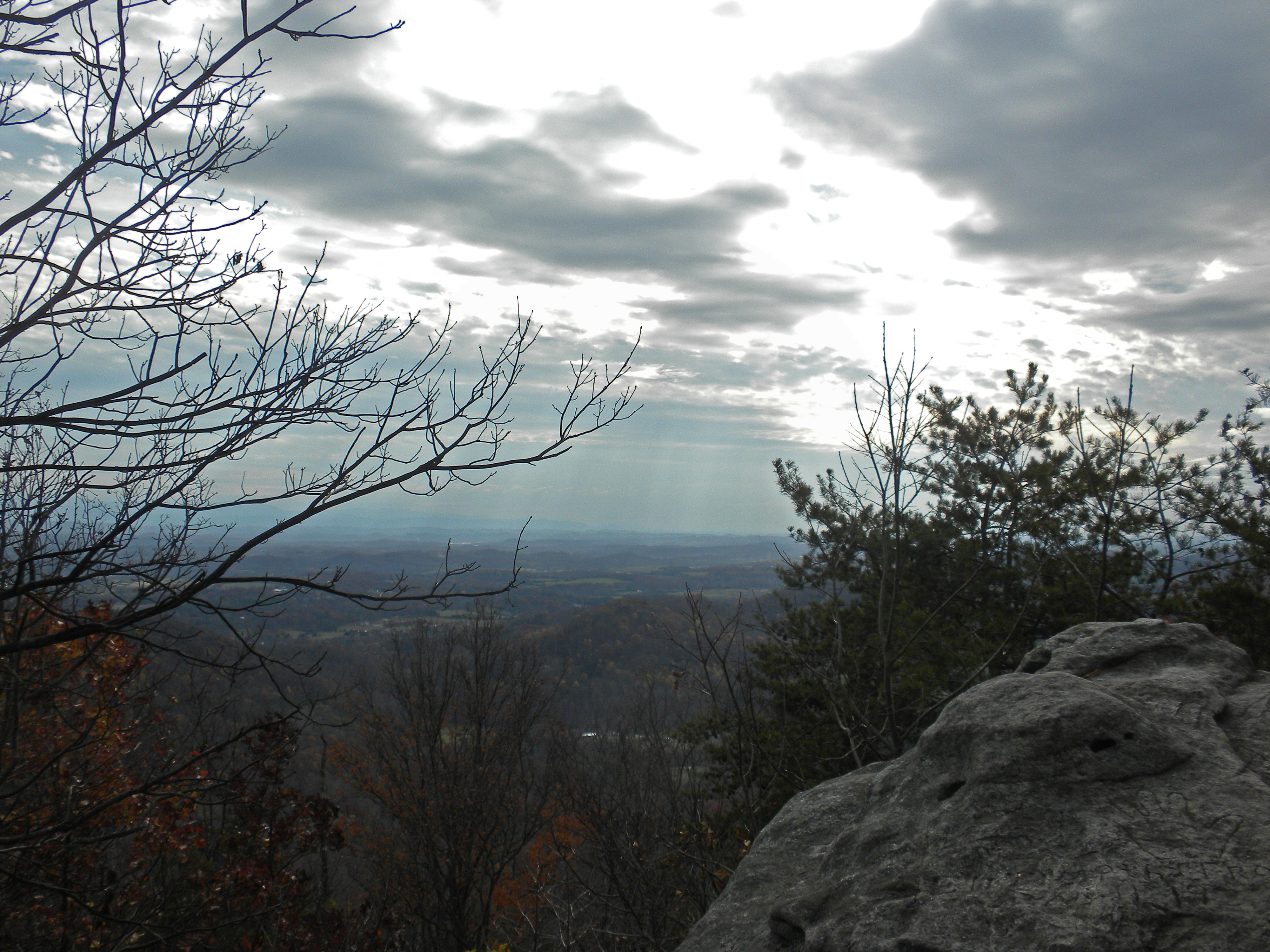
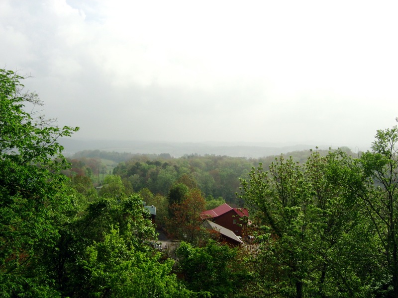
The View from the Western Overlook
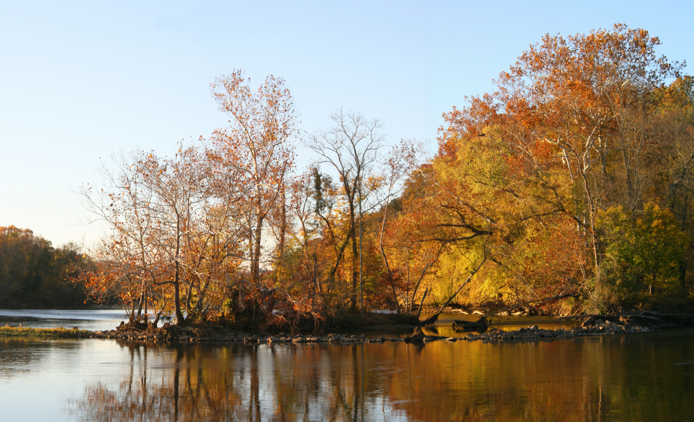
French Broad Autumn

The View to the North
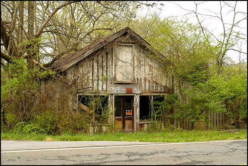
Mill Springs Store
IMG_0727.jpg
morning view
Sunrise 1-15-10

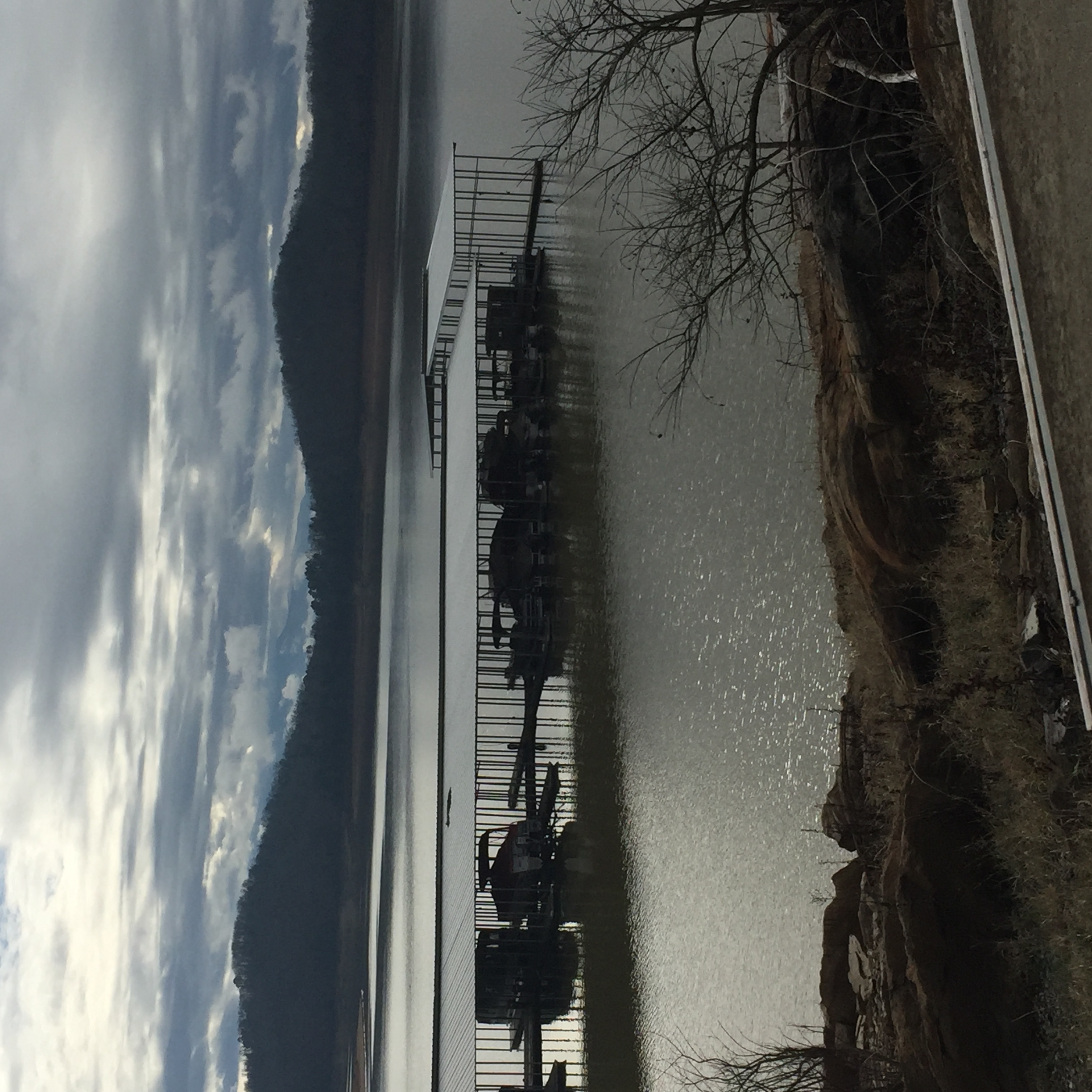
Douglas Lake Panorama

View from the Eastern Overlook
View from front porch
Cruze Dairy Farm
House Mountain Rock

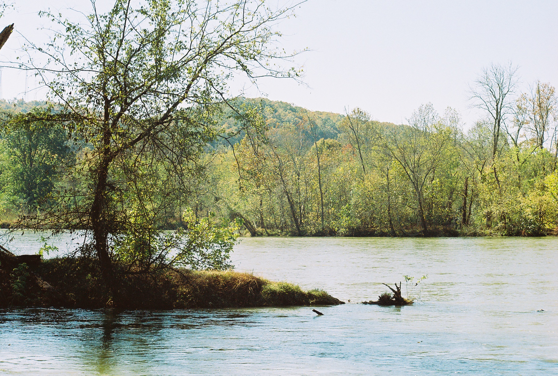
French Broad River

Autumn lights
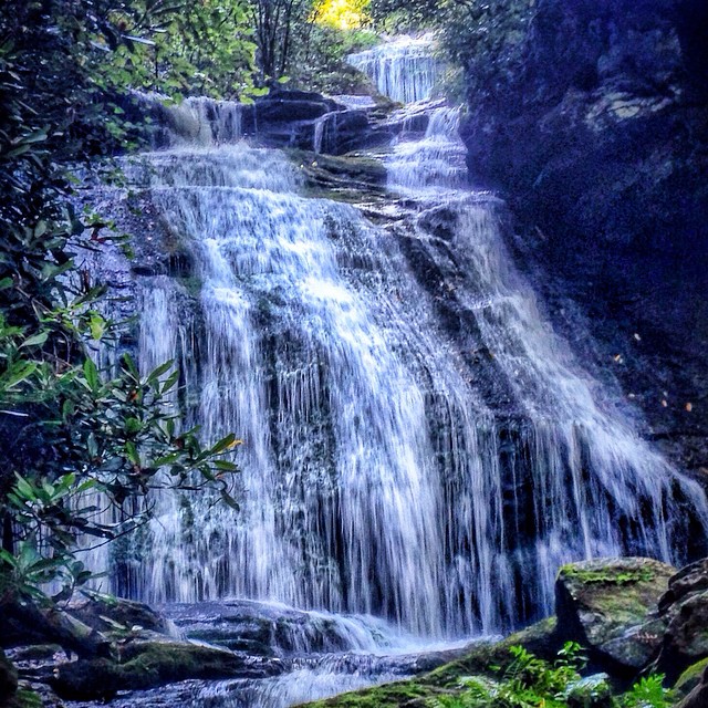
Opposum Creek Falls #southcarolinawaterfalls #ChattoogaRiver #waterfallpics #iphonepro #igersoftheday #appalachia #blueridgecountry #opposumcreek #honeybadgerhiking #waterfallhiking
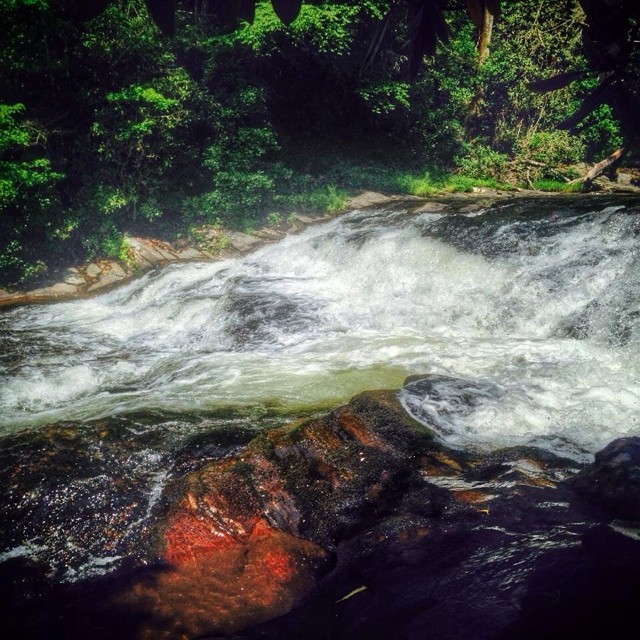
Upper Cascade - Big Bend Falls #bigbendfalls#recreation_gov #southcarolinawaterfalls #waterfallpics #waterfallhiking #waterfallphotography #chattoogarivertrail #foothillstrail #oconeecountywaterfalls #igersoftheday #iphotography
Seven Islands: Sept. 20, 2015

#iphonography #sky #clouds #landscape
Paint the mountains
Seven Islands January 5, 2016

Barn with Algae

Green Lynx Spider IMG_9890
IMG_8876.JPG
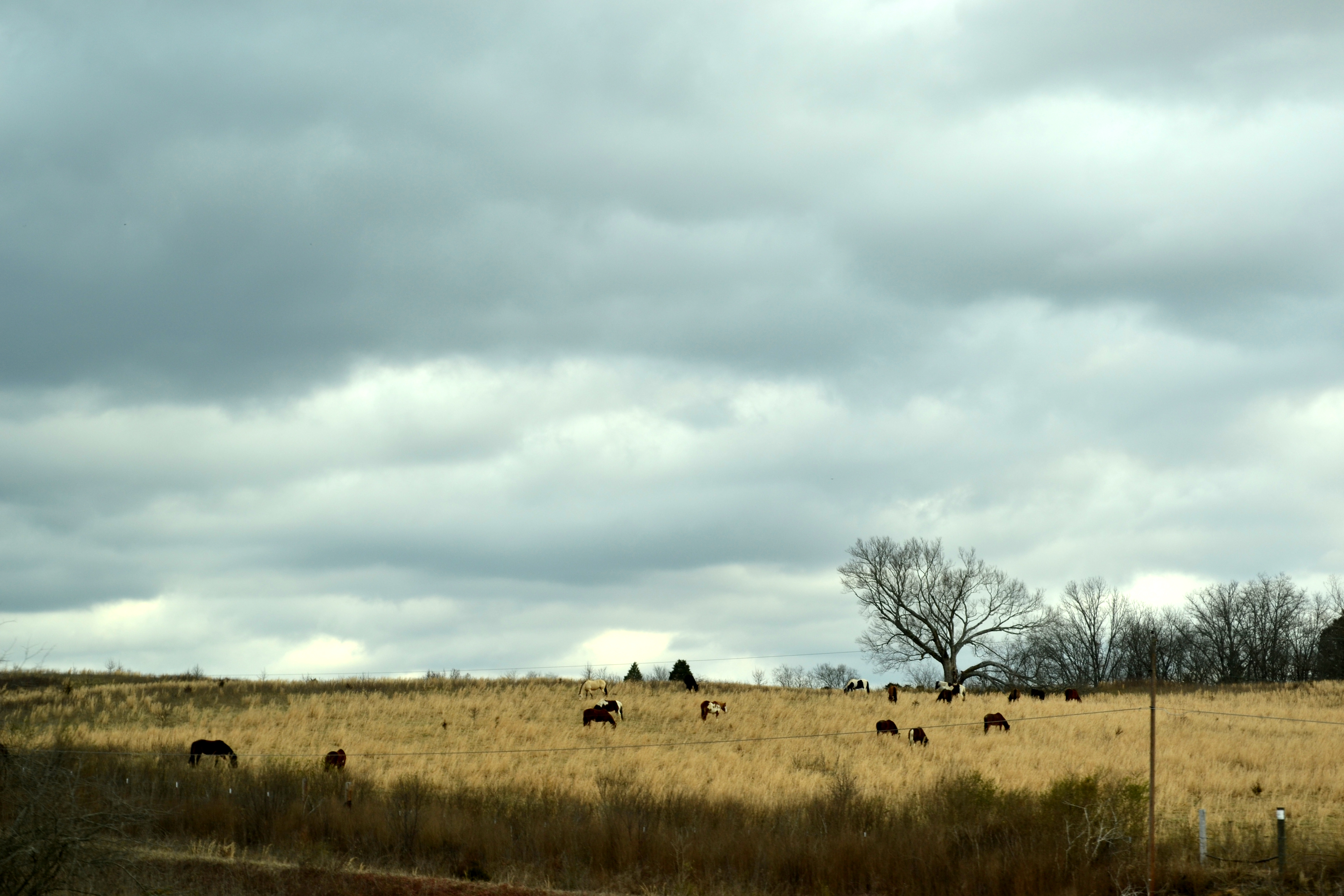
Rockey Valley Rd Cattle 098
IMG_8339.jpg
Beyond the Outer Circle

_-2.jpg
IMG_8874.JPG
Topographic Map of Old Dandridge Pike, New Market, TN, USA
Find elevation by address:

Places near Old Dandridge Pike, New Market, TN, USA:
1028 Old Dandridge Pike
2065 Strawberry Dr
4112 Briggs Loop
Briggs Loop, Kodak, TN, USA
961 Thorngrove Pike
289 Byrd Farm Ln
289 Byrd Farm Ln
289 Byrd Farm Ln
Great Smokies Flea Market
Kodak
639 Delainey Dr
2638 Kodak Way
3441 Bent Rd
1067 Hilltop Ln
Hilltop Lane
920 River Rd
Loveday Way
Kyker Ferry Road
2606 Fisherman St
2860 Boyds Creek Hwy
Recent Searches:
- Elevation of Corso Fratelli Cairoli, 35, Macerata MC, Italy
- Elevation of Tallevast Rd, Sarasota, FL, USA
- Elevation of 4th St E, Sonoma, CA, USA
- Elevation of Black Hollow Rd, Pennsdale, PA, USA
- Elevation of Oakland Ave, Williamsport, PA, USA
- Elevation of Pedrógão Grande, Portugal
- Elevation of Klee Dr, Martinsburg, WV, USA
- Elevation of Via Roma, Pieranica CR, Italy
- Elevation of Tavkvetili Mountain, Georgia
- Elevation of Hartfords Bluff Cir, Mt Pleasant, SC, USA