Elevation of Old Blacktop Rd, McEwen, TN, USA
Location: United States > Tennessee > Humphreys County > Mcewen >
Longitude: -87.651335
Latitude: 36.0999491
Elevation: 254m / 833feet
Barometric Pressure: 98KPa
Elevation Map:
Satellite Map:
Related Photos:
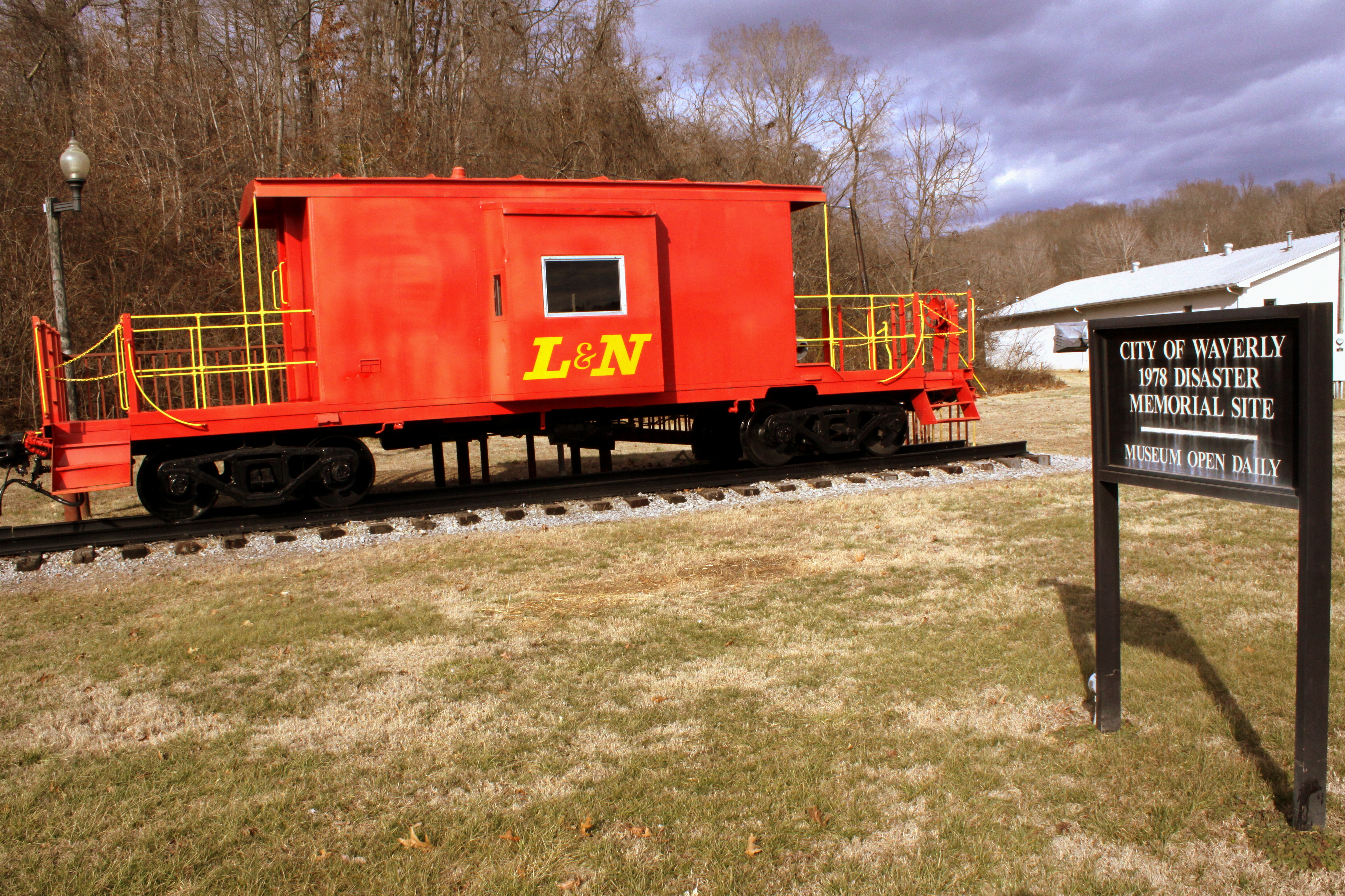
Waverly 1978 Disaster Site Memorial Museum (typical brochure view)

Humphreys County, TN Courthouse - Waverly, TN

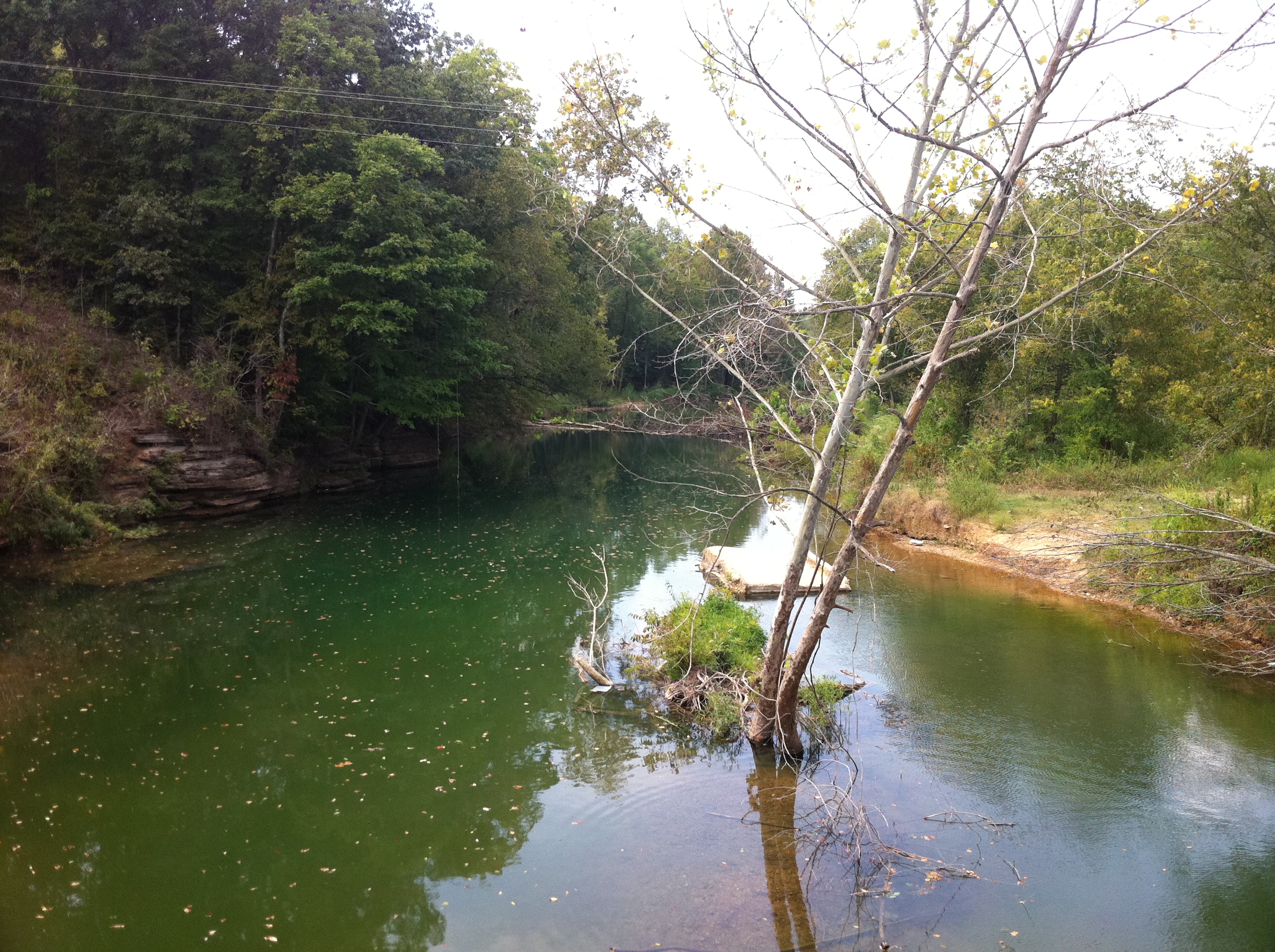
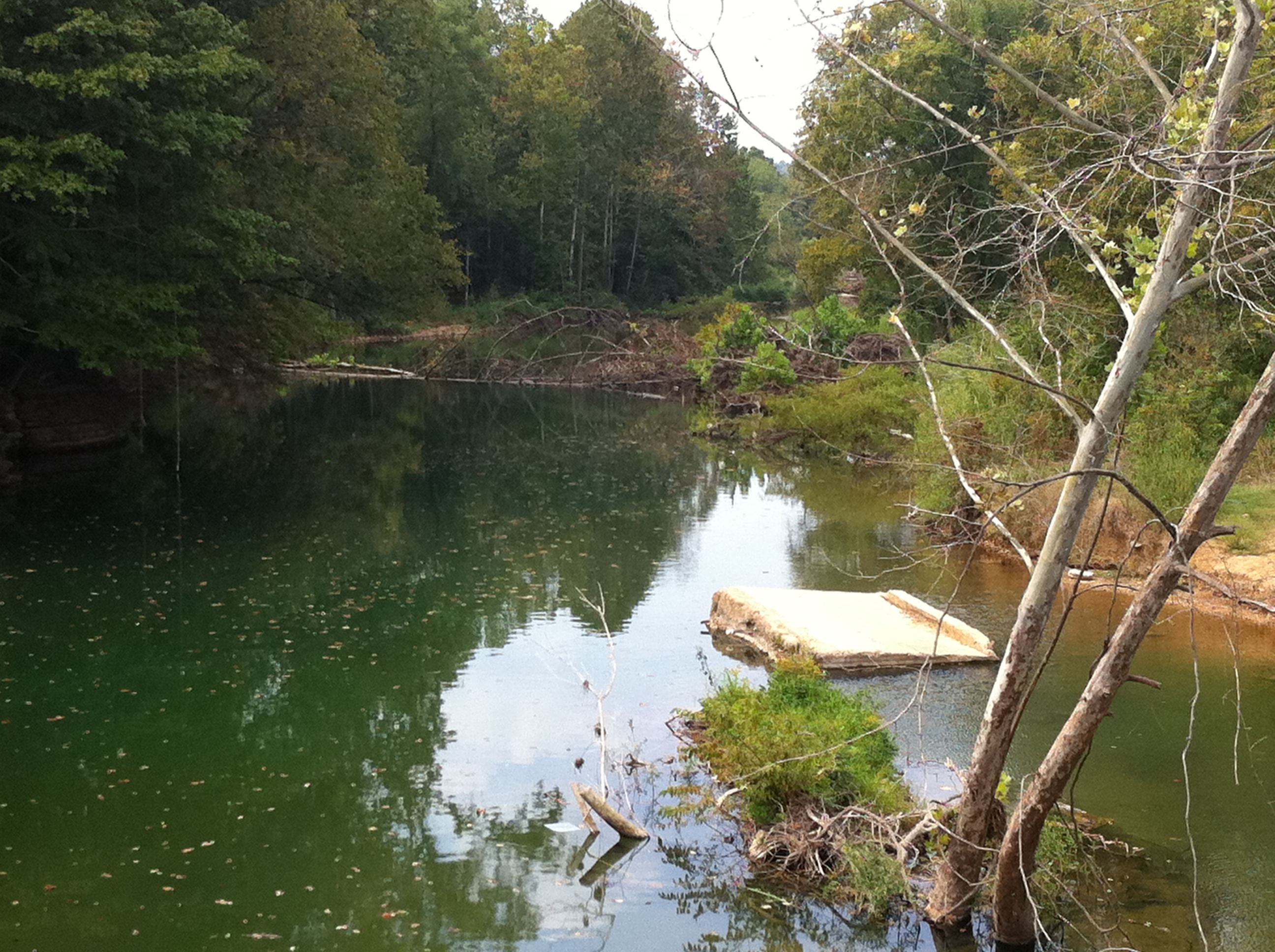
Creek
DSC03140
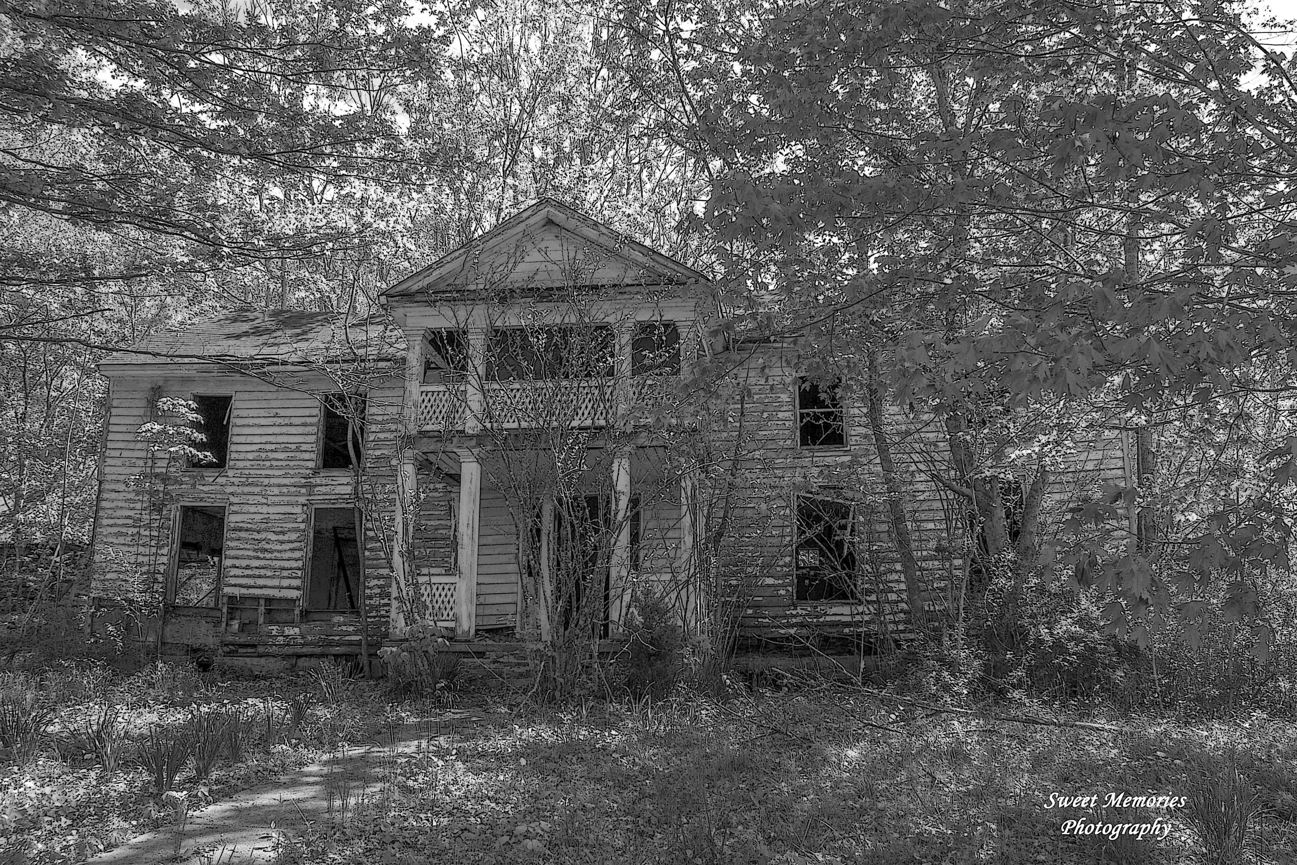
Week 25 - Abandoned
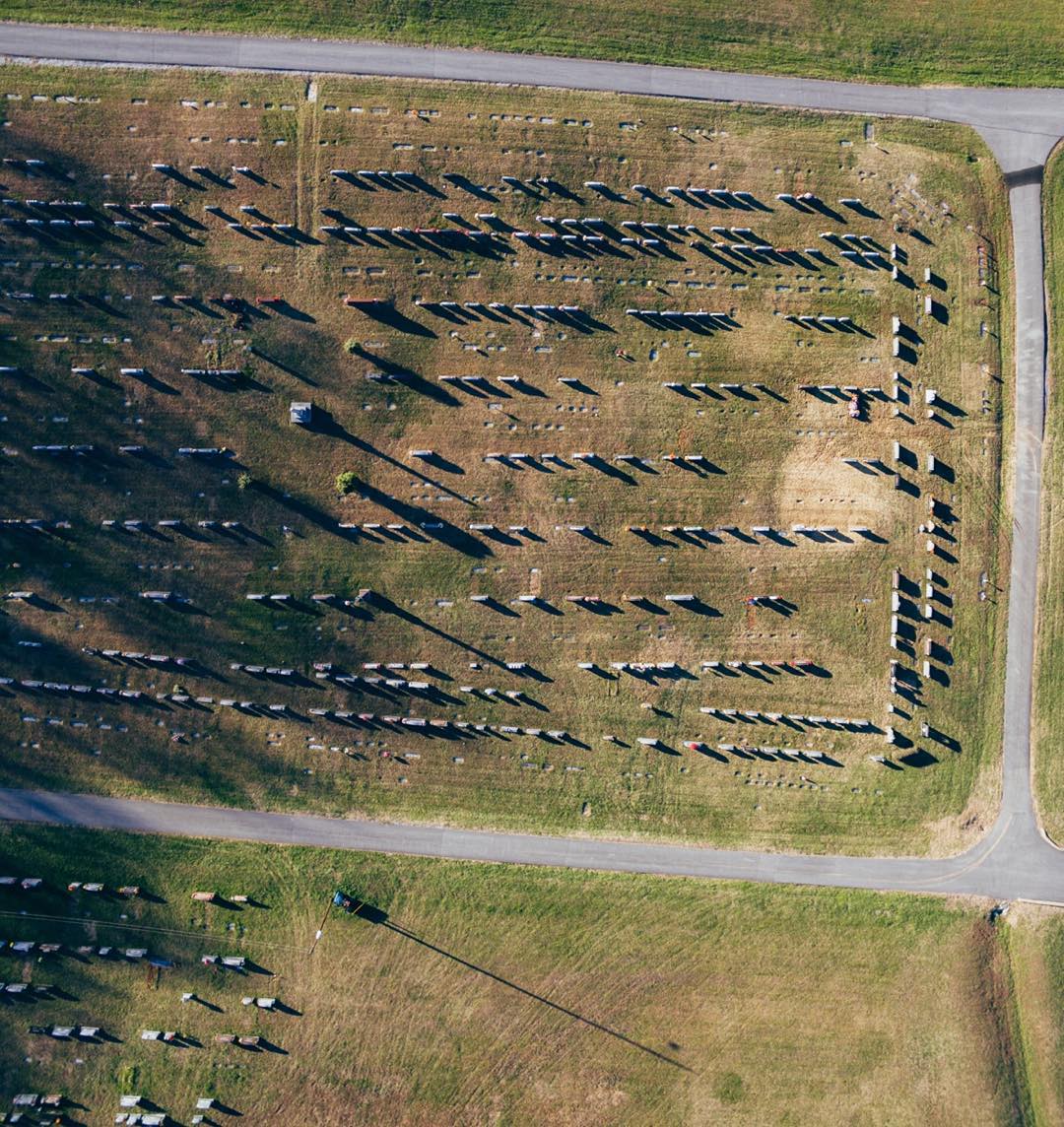
300ft above ground

#countrydrive

WP_20150530_039 1_edited
Topographic Map of Old Blacktop Rd, McEwen, TN, USA
Find elevation by address:

Places near Old Blacktop Rd, McEwen, TN, USA:
1177 Ridge Rd
Mcewen
2375 Bold Springs Rd
1105 Tn-231
6284 Bold Springs Rd
Little Hurricane Creek Road
1020 Wheeler Rd
2204 Wheeler Rd
2204 Wheeler Rd
2240 Wheeler Rd
Deer Creek Church
Bern Street
109 Bern St
86 Steed Rd
Waverly
W Court Square, Waverly, TN, USA
Waverly, TN, USA
1105 Us-70
Halls Creek Rd, Waverly, TN, USA
138 Deep Rd
Recent Searches:
- Elevation of Corso Fratelli Cairoli, 35, Macerata MC, Italy
- Elevation of Tallevast Rd, Sarasota, FL, USA
- Elevation of 4th St E, Sonoma, CA, USA
- Elevation of Black Hollow Rd, Pennsdale, PA, USA
- Elevation of Oakland Ave, Williamsport, PA, USA
- Elevation of Pedrógão Grande, Portugal
- Elevation of Klee Dr, Martinsburg, WV, USA
- Elevation of Via Roma, Pieranica CR, Italy
- Elevation of Tavkvetili Mountain, Georgia
- Elevation of Hartfords Bluff Cir, Mt Pleasant, SC, USA