Elevation of Old Bean Shed Rd, Clarkrange, TN, USA
Location: United States > Tennessee > Fentress County > Clarkrange >
Longitude: -85.030645
Latitude: 36.234492
Elevation: 540m / 1772feet
Barometric Pressure: 95KPa
Elevation Map:
Satellite Map:
Related Photos:
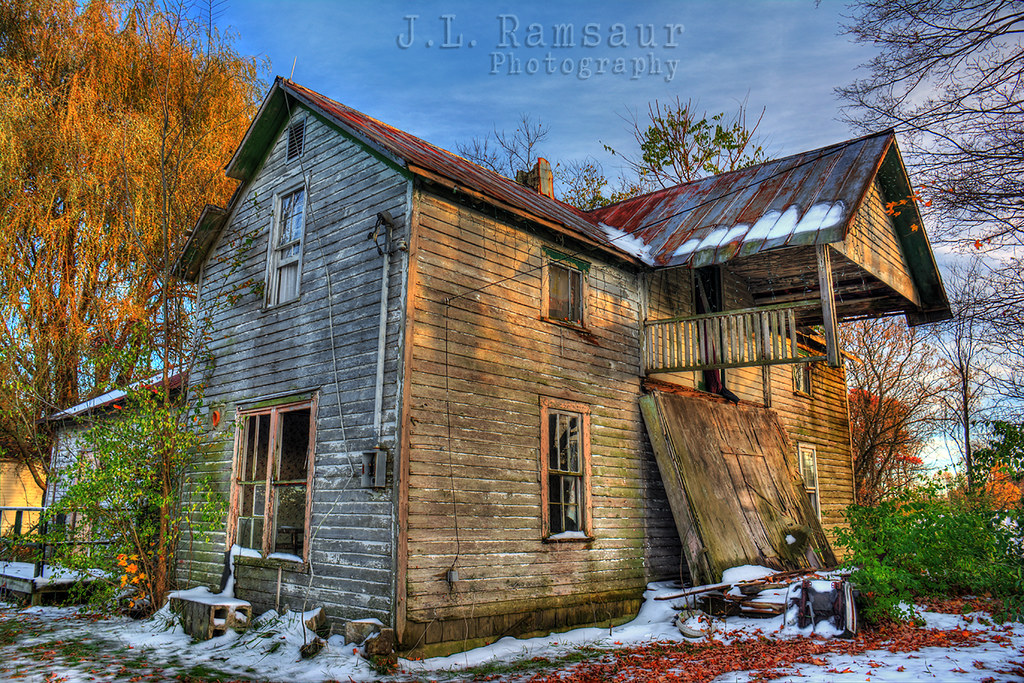
Abandoned Country House

Cumberland Mountain General Store - Clarkrange, Tennessee 1
te-244
te-237
te-070
te-201
te-312
te-374
te-402
te-223
te-242

te-308
te-075
te-401

te-093
te-181
te-397
te-305
te-391
te-238
te-236
te-095
te-188
Topographic Map of Old Bean Shed Rd, Clarkrange, TN, USA
Find elevation by address:

Places near Old Bean Shed Rd, Clarkrange, TN, USA:
280 Laurens Ln
2053 Martha Washington Rd
Shelby Way
Panther Falls Road
122 Hoodtown Rd
122 Hoodtown Rd
122 Hoodtown Rd
115 E Bobcat
2901 Banner Springs Rd
Standing Rock Rd, Jamestown, TN, USA
70 Standing Rock Ct
4939 Standing Rock Rd
4939 Standing Rock Rd
4939 Standing Rock Rd
4349 Standing Rock Rd
4349 Standing Rock Rd
4939 Standing Rock Rd
150 Pine Bluff Ln
108 Standing Rock Rd
977 Hitchin Post Dr
Recent Searches:
- Elevation of Corso Fratelli Cairoli, 35, Macerata MC, Italy
- Elevation of Tallevast Rd, Sarasota, FL, USA
- Elevation of 4th St E, Sonoma, CA, USA
- Elevation of Black Hollow Rd, Pennsdale, PA, USA
- Elevation of Oakland Ave, Williamsport, PA, USA
- Elevation of Pedrógão Grande, Portugal
- Elevation of Klee Dr, Martinsburg, WV, USA
- Elevation of Via Roma, Pieranica CR, Italy
- Elevation of Tavkvetili Mountain, Georgia
- Elevation of Hartfords Bluff Cir, Mt Pleasant, SC, USA