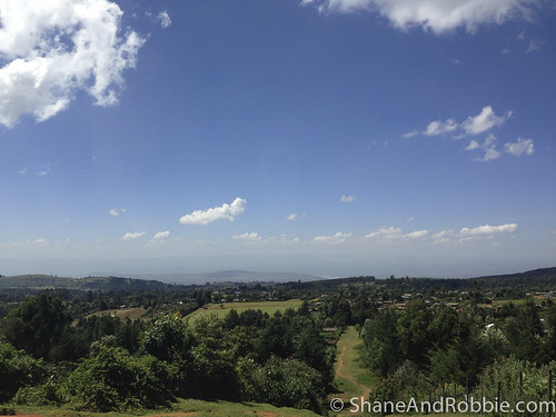
Elevation of Ol Kalou, Kenya
Location: Kenya > Nyandarua County >
Longitude: 36.3775152
Latitude: -0.272699
Elevation: 2361m / 7746feet
Barometric Pressure: 76KPa
Related Photos:
Topographic Map of Ol Kalou, Kenya
Find elevation by address:

Places near Ol Kalou, Kenya:
Gwa Kiongo Dam
Nyandarua County
Sabugo
Ol Joro Orok
Lake Elmenteita
Gilgil
Bahati
Sarova Lion Hill Game Lodge - Lake Nakuru National Park
Baruti East
Lake Nakuru
Nakuru
Afraha Stadium
Biashara
Subukia
Mbogoini Primary School
Nakuru-kisumu Road
Viwanda
Nakuru
Kianjoya Primary School
Naivasha
Recent Searches:
- Elevation of Corso Fratelli Cairoli, 35, Macerata MC, Italy
- Elevation of Tallevast Rd, Sarasota, FL, USA
- Elevation of 4th St E, Sonoma, CA, USA
- Elevation of Black Hollow Rd, Pennsdale, PA, USA
- Elevation of Oakland Ave, Williamsport, PA, USA
- Elevation of Pedrógão Grande, Portugal
- Elevation of Klee Dr, Martinsburg, WV, USA
- Elevation of Via Roma, Pieranica CR, Italy
- Elevation of Tavkvetili Mountain, Georgia
- Elevation of Hartfords Bluff Cir, Mt Pleasant, SC, USA


