Elevation of OK-65, Lawton, OK, USA
Location: United States > Oklahoma > Comanche County > Lawton >
Longitude: -98.212310
Latitude: 34.6348636
Elevation: 352m / 1155feet
Barometric Pressure: 97KPa
Elevation Map:
Satellite Map:
Related Photos:

Dogs Eye View iPhone Macro Lens
this time: lawton

MacArthur Park House-side view

365-72

MacArthur Park House-front view

Purple Aura

.
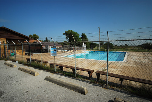
MacArthur Park Pool 2
Oklahoma - Ft. Sill - May 1972

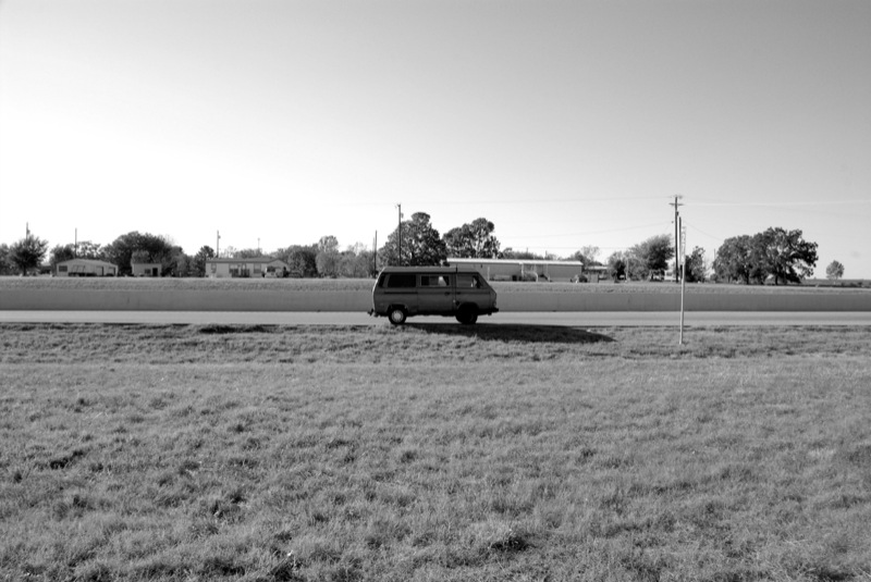
Cache Road-6
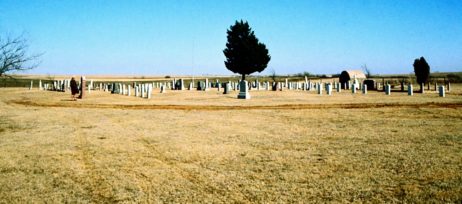
Oklahoma - Ft. Sill - East Range / Commanche Cemetery - January 1972

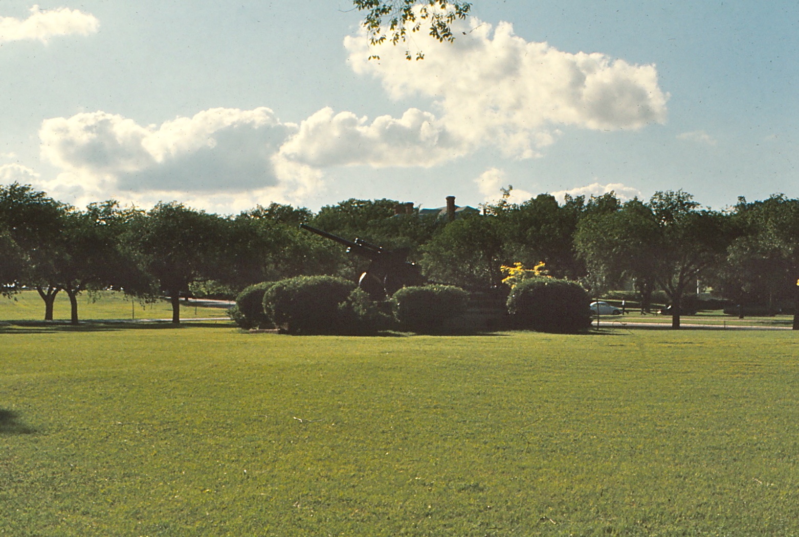
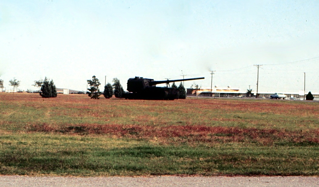
Oklahoma - Ft. Sill - Firepower Demonstration - June 1972
Oklahoma - Ft. Sill - October 1971

.
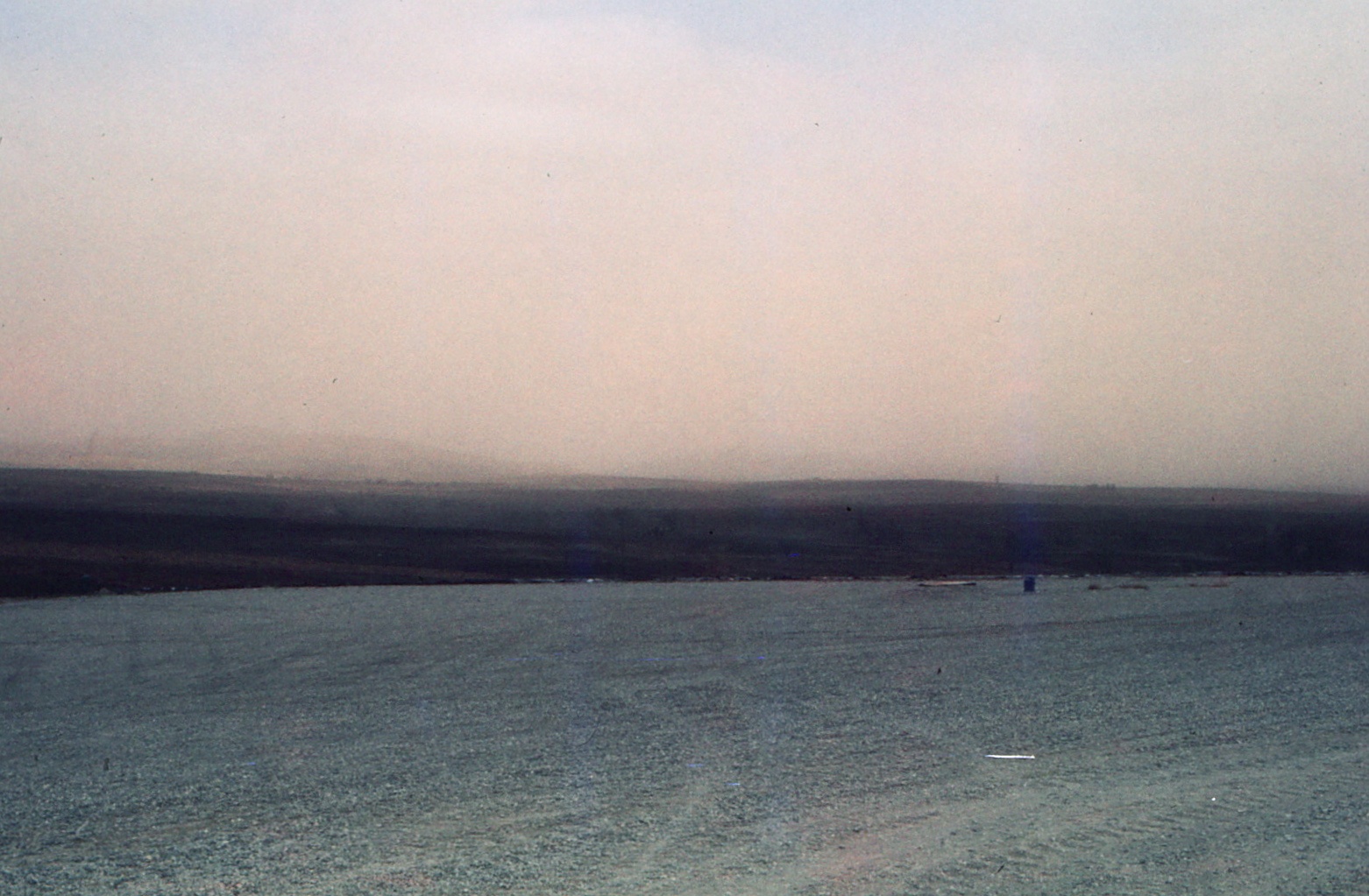
Oklahoma - Fort Sill - Mohway House - West Range - Dust Storm Approaching - February 1976
DSC_6400.JPG

Oklahoma - Ft. Sill - Firepower Demonstration - June 1972
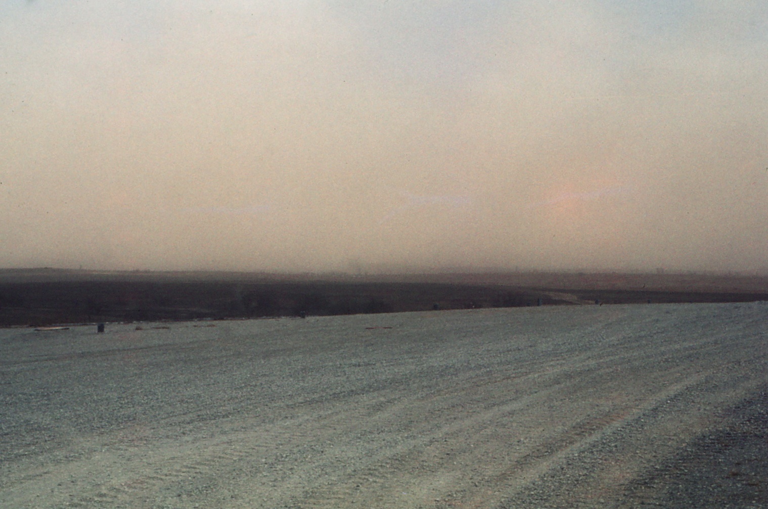
Oklahoma - Fort Sill - Mohway House - West Range - Dust Storm Approaching - February 1976
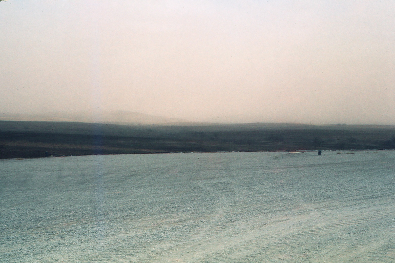
Oklahoma - Fort Sill - Mohway House - West Range - Dust Storm Approaching - February 1976
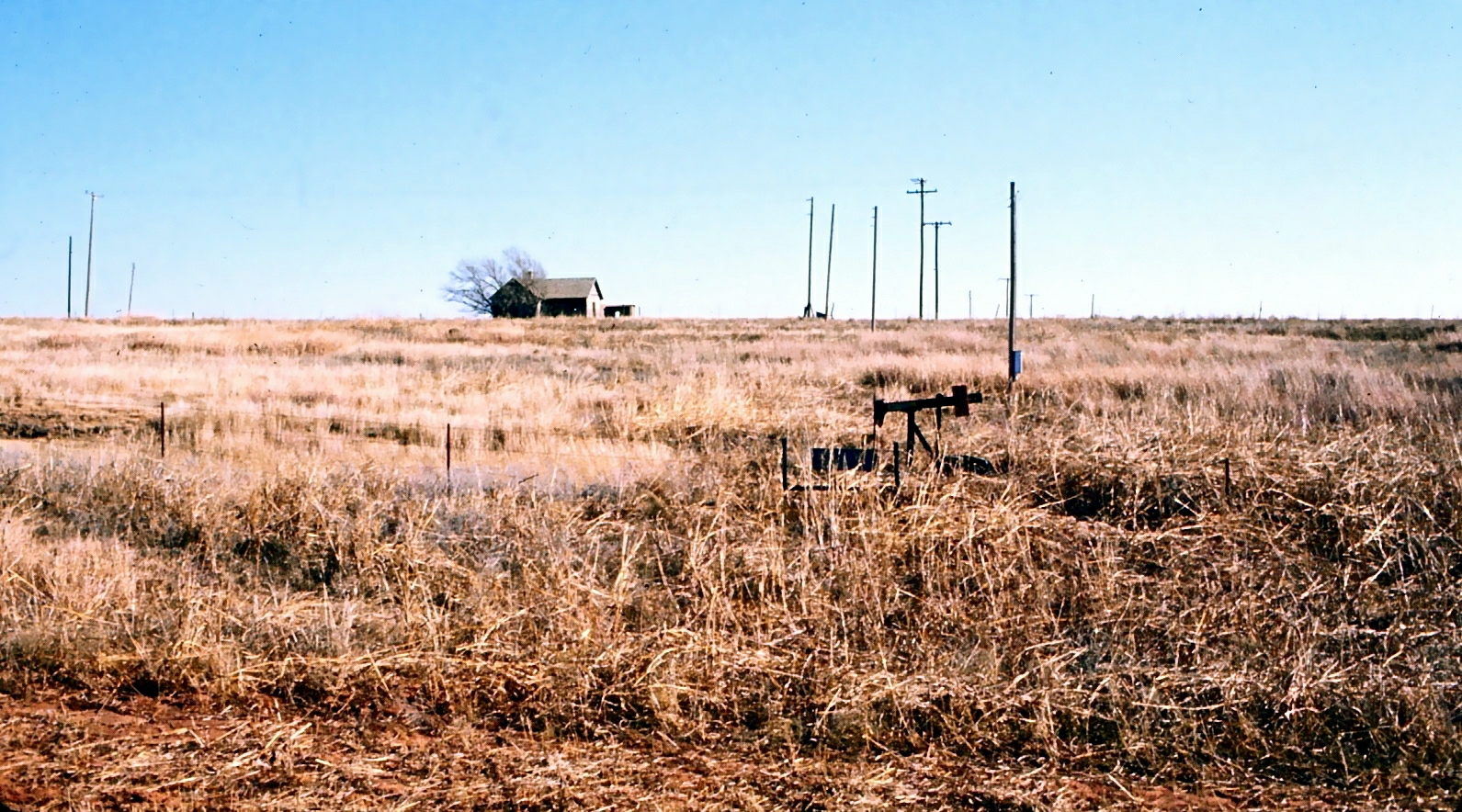
Oklahoma - Ft. Sill - East Range - January 1972

frosted grasses

Bethel, OK Sunset
Topographic Map of OK-65, Lawton, OK, USA
Find elevation by address:

Places near OK-65, Lawton, OK, USA:
OK-65, Lawton, OK, USA
4406 Se 90th St
21811 Ne Cross Rd
Woods Road
W Main St, Marlow, OK, USA
Sterling
Flower Mound
Elgin Public Schools
Elgin
807 Se 3rd St
Comanche County
Lawton
Fletcher
Cole Ave, Fletcher, OK, USA
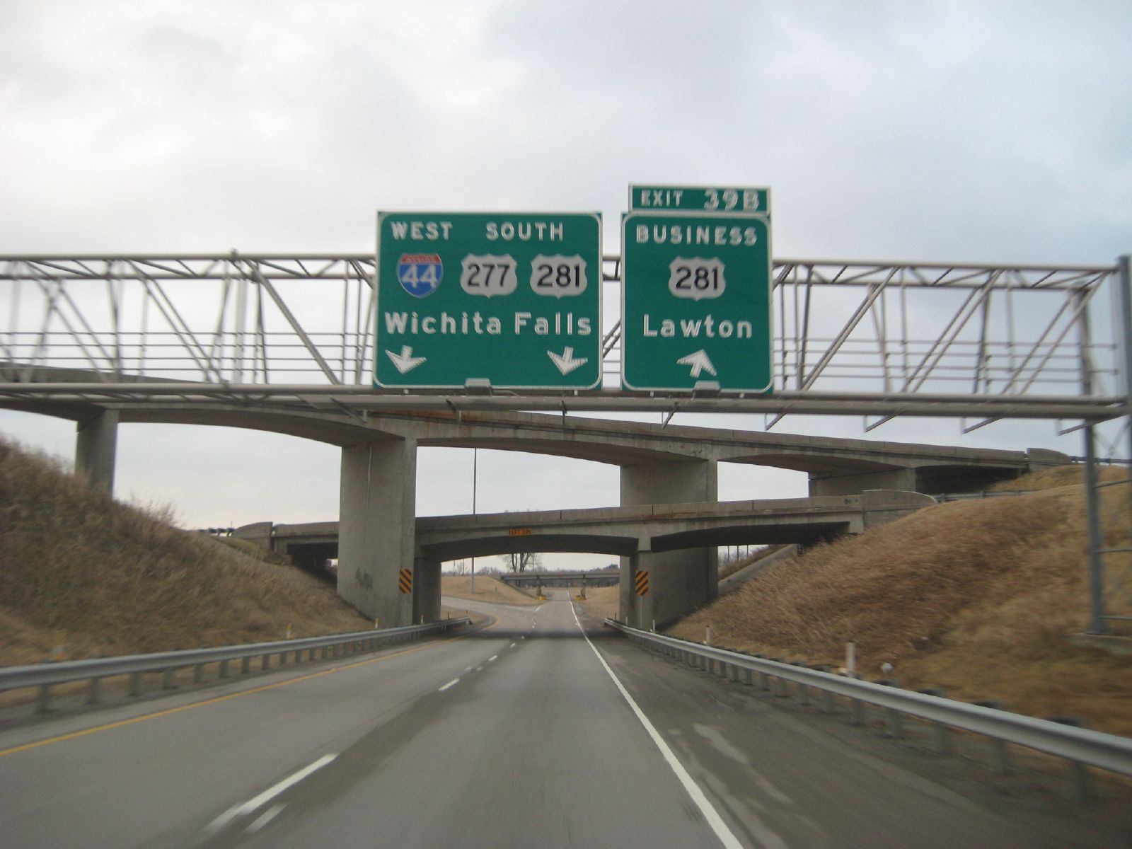
U.s. 277
Prentice NW, Lawton, OK, USA
Comanche Nation Tribal Complex
Fort Sill
7404 Hidden Creek Dr
2820 Nw Ozmun Ave
Recent Searches:
- Elevation of Corso Fratelli Cairoli, 35, Macerata MC, Italy
- Elevation of Tallevast Rd, Sarasota, FL, USA
- Elevation of 4th St E, Sonoma, CA, USA
- Elevation of Black Hollow Rd, Pennsdale, PA, USA
- Elevation of Oakland Ave, Williamsport, PA, USA
- Elevation of Pedrógão Grande, Portugal
- Elevation of Klee Dr, Martinsburg, WV, USA
- Elevation of Via Roma, Pieranica CR, Italy
- Elevation of Tavkvetili Mountain, Georgia
- Elevation of Hartfords Bluff Cir, Mt Pleasant, SC, USA