Elevation of Oituz, Romania
Location: Romania > Bacău County >
Longitude: 26.5404114
Latitude: 46.1713004
Elevation: 547m / 1795feet
Barometric Pressure: 95KPa
Elevation Map:
Satellite Map:
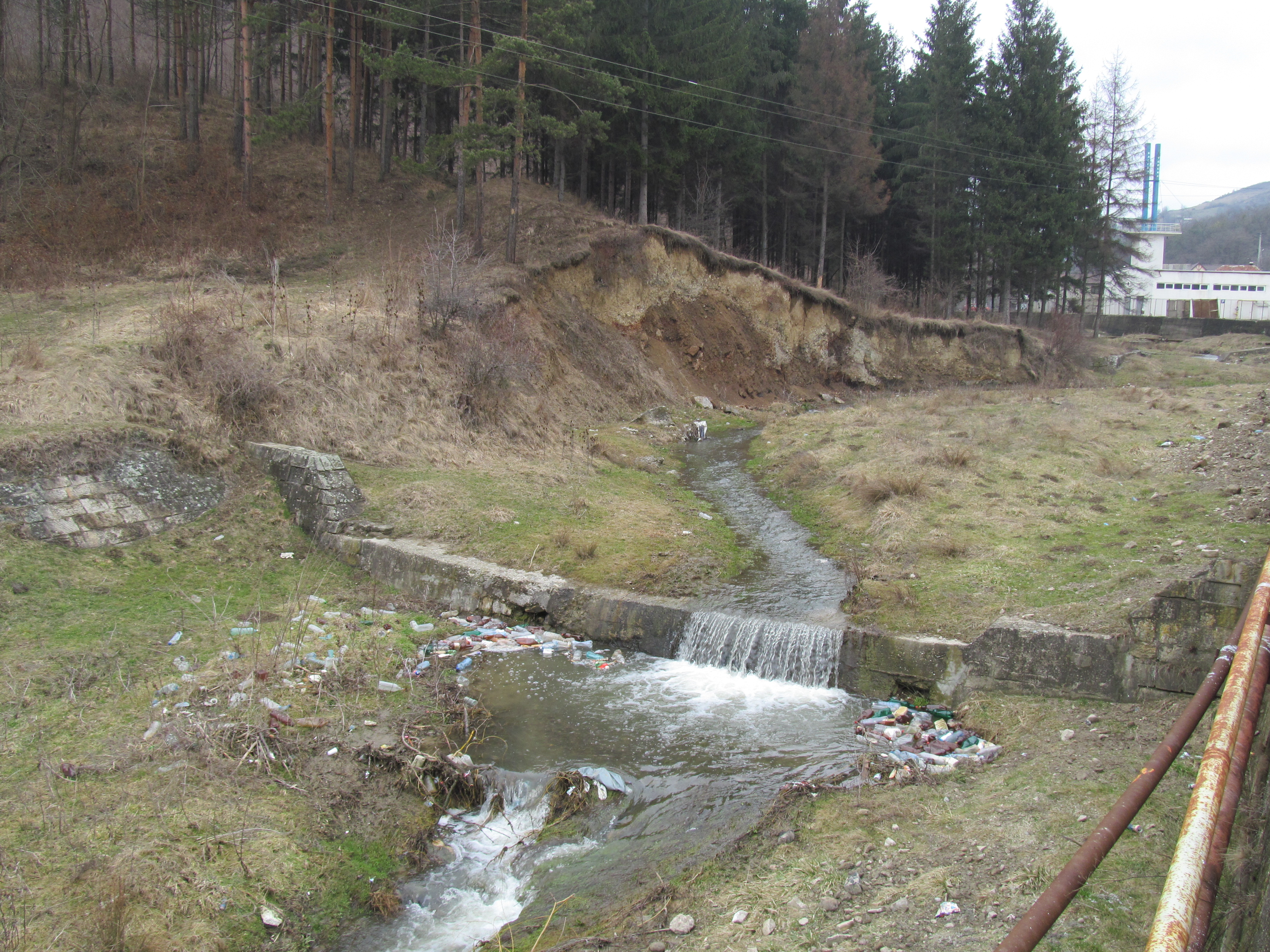
Related Photos:
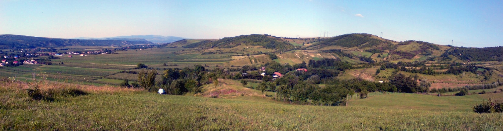
Surrounded by hills
2015-11-08 at 11.24.42

2015-11-08 at 10.35.09

2015-11-08 at 11.24.32
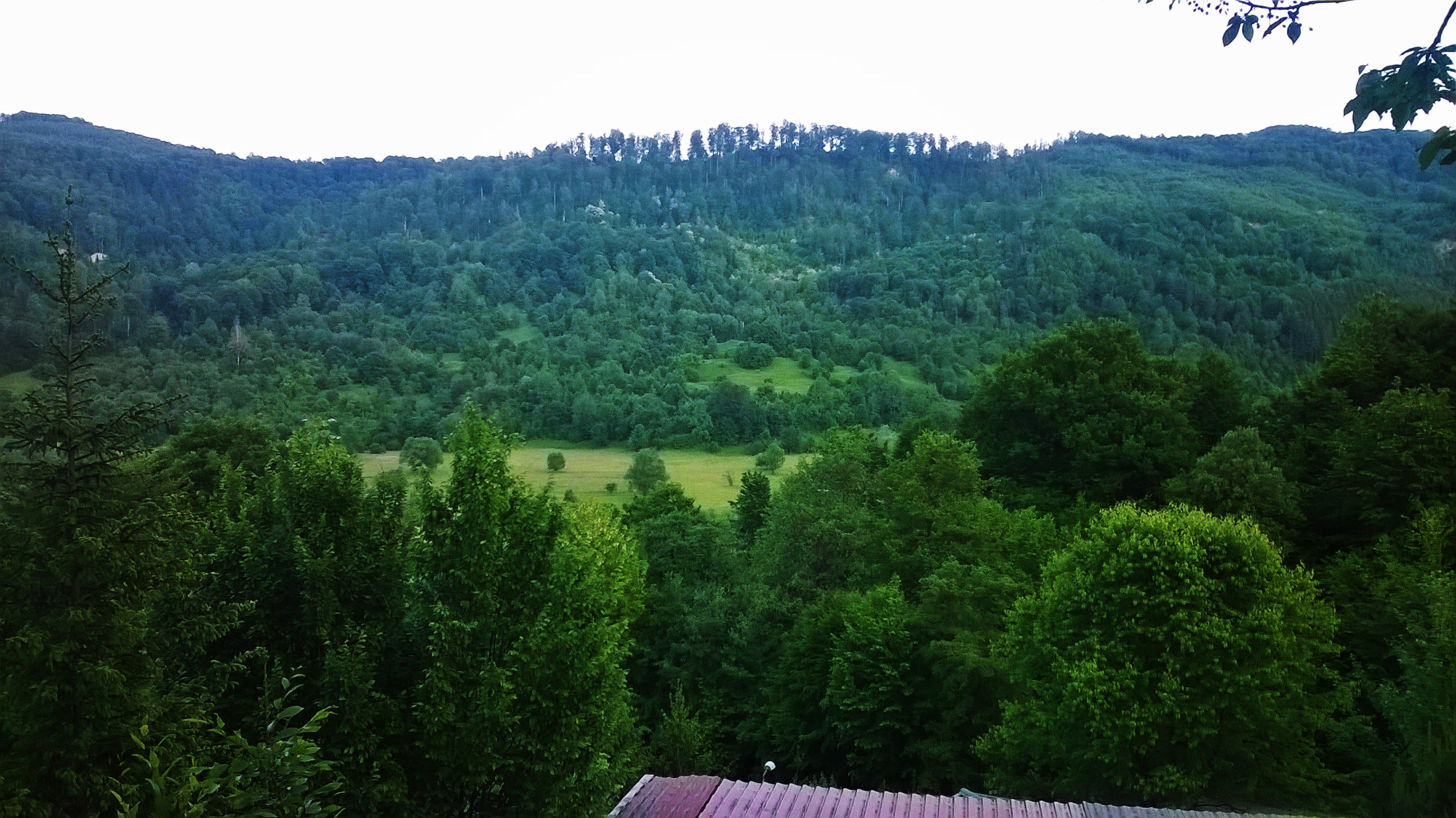
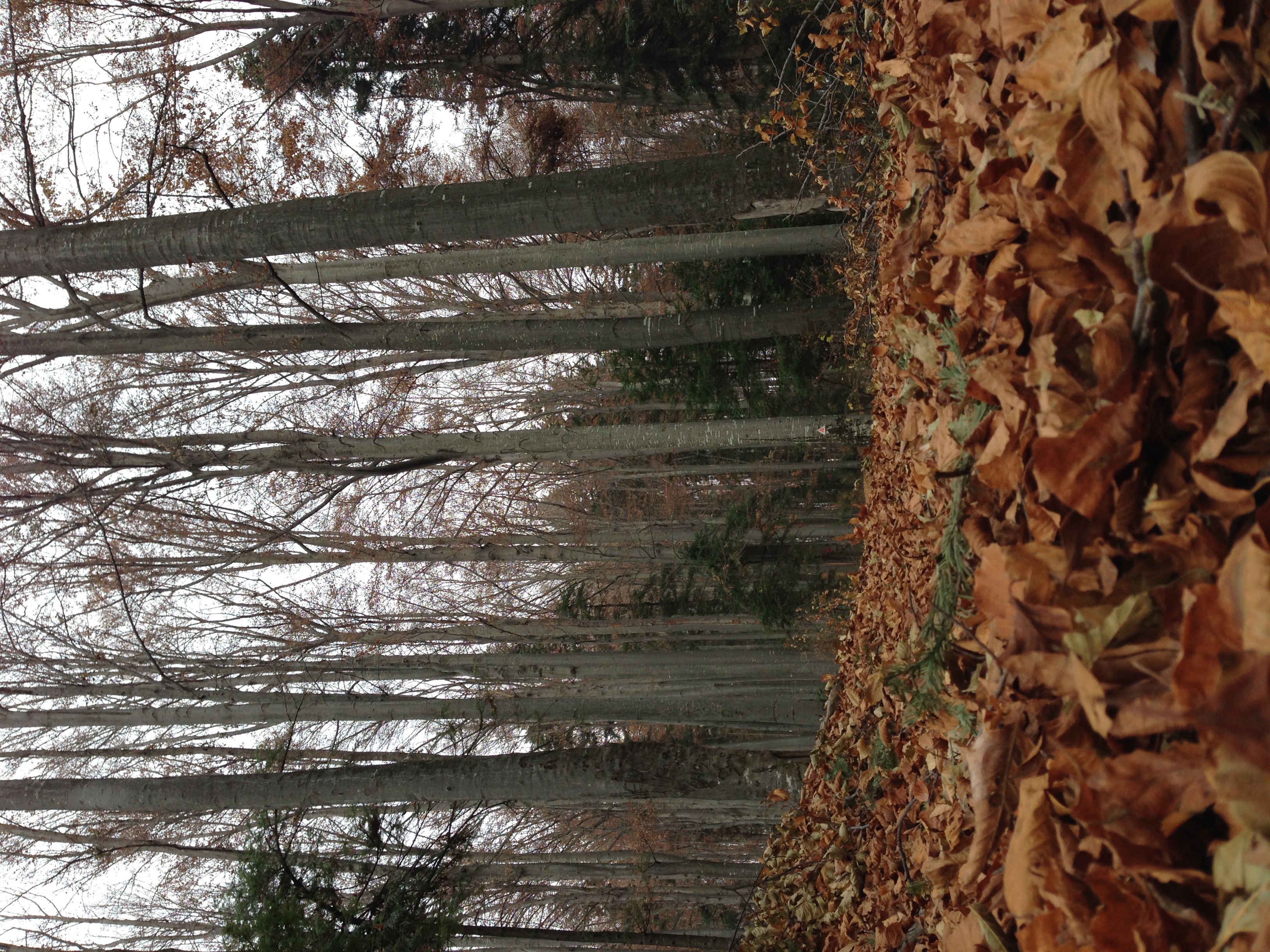
Mountain (Romania)
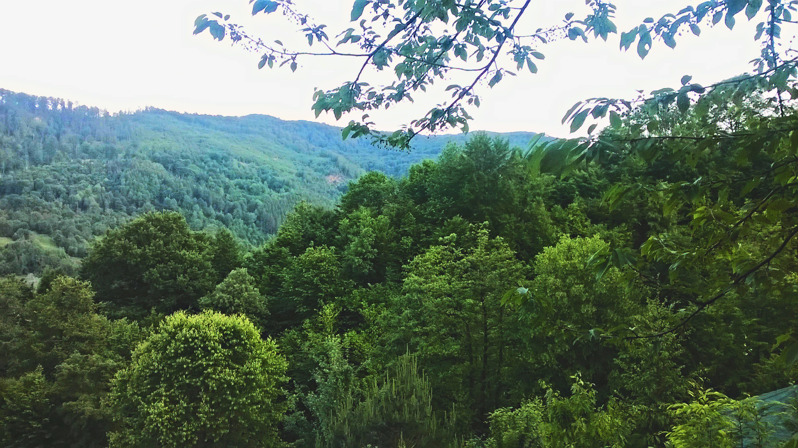
Mountain (Romania)

2015-11-08 at 10.36.21

Mountain (Romania)

Mina de sare

2015-11-07 at 13.32.02
Târgu Ocna / Aknavásár, Romania
Topographic Map of Oituz, Romania
Find elevation by address:

Places in Oituz, Romania:
Places near Oituz, Romania:
Poiana Sărată
Bacău County
Targu Secuiesc
Târgu Secuiesc
Strada Brazilor
Covasna
Covasna County
Miercurea Ciuc
Sfântu Gheorghe
Buzău County
Dălghiu
Valea Screzii
Harman
Posesti
Hărman
Sacele
Săcele
Pietricica
Strada Timiș 8
Malu Vânăt
Recent Searches:
- Elevation of Corso Fratelli Cairoli, 35, Macerata MC, Italy
- Elevation of Tallevast Rd, Sarasota, FL, USA
- Elevation of 4th St E, Sonoma, CA, USA
- Elevation of Black Hollow Rd, Pennsdale, PA, USA
- Elevation of Oakland Ave, Williamsport, PA, USA
- Elevation of Pedrógão Grande, Portugal
- Elevation of Klee Dr, Martinsburg, WV, USA
- Elevation of Via Roma, Pieranica CR, Italy
- Elevation of Tavkvetili Mountain, Georgia
- Elevation of Hartfords Bluff Cir, Mt Pleasant, SC, USA