Elevation of Ohlenforst Rd, Rayne, LA, USA
Location: United States > Louisiana > Acadia Parish > >
Longitude: -92.322579
Latitude: 30.2640854
Elevation: 1m / 3feet
Barometric Pressure: 101KPa
Elevation Map:
Satellite Map:
Related Photos:

1first view of Louisiana - Copy

Up Front

Bug's Eye View
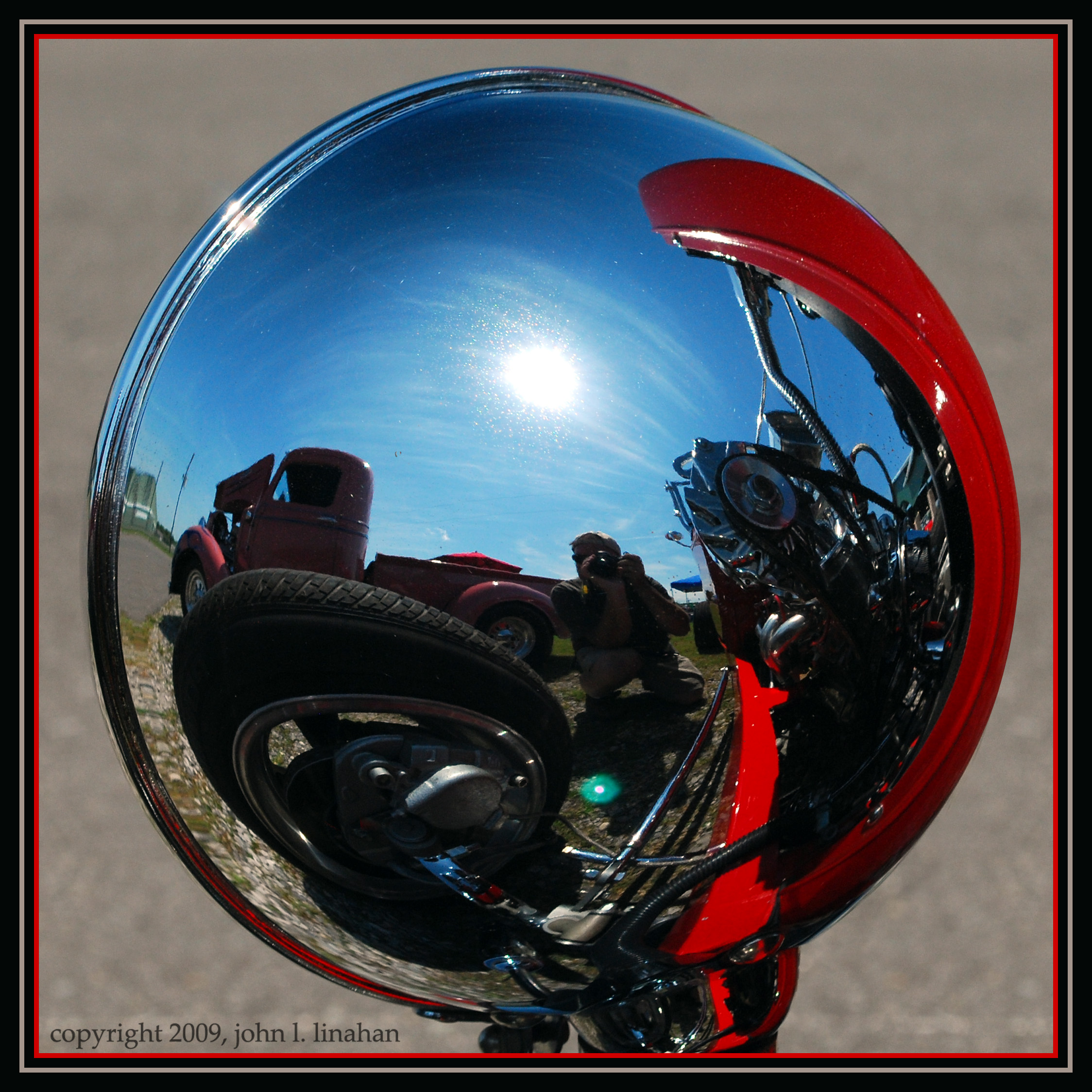
Convex View
Camera Roll-21

Louisiana Winter 3

Louisiana Winter 6
@katctv3 and @klfy off in the distance.
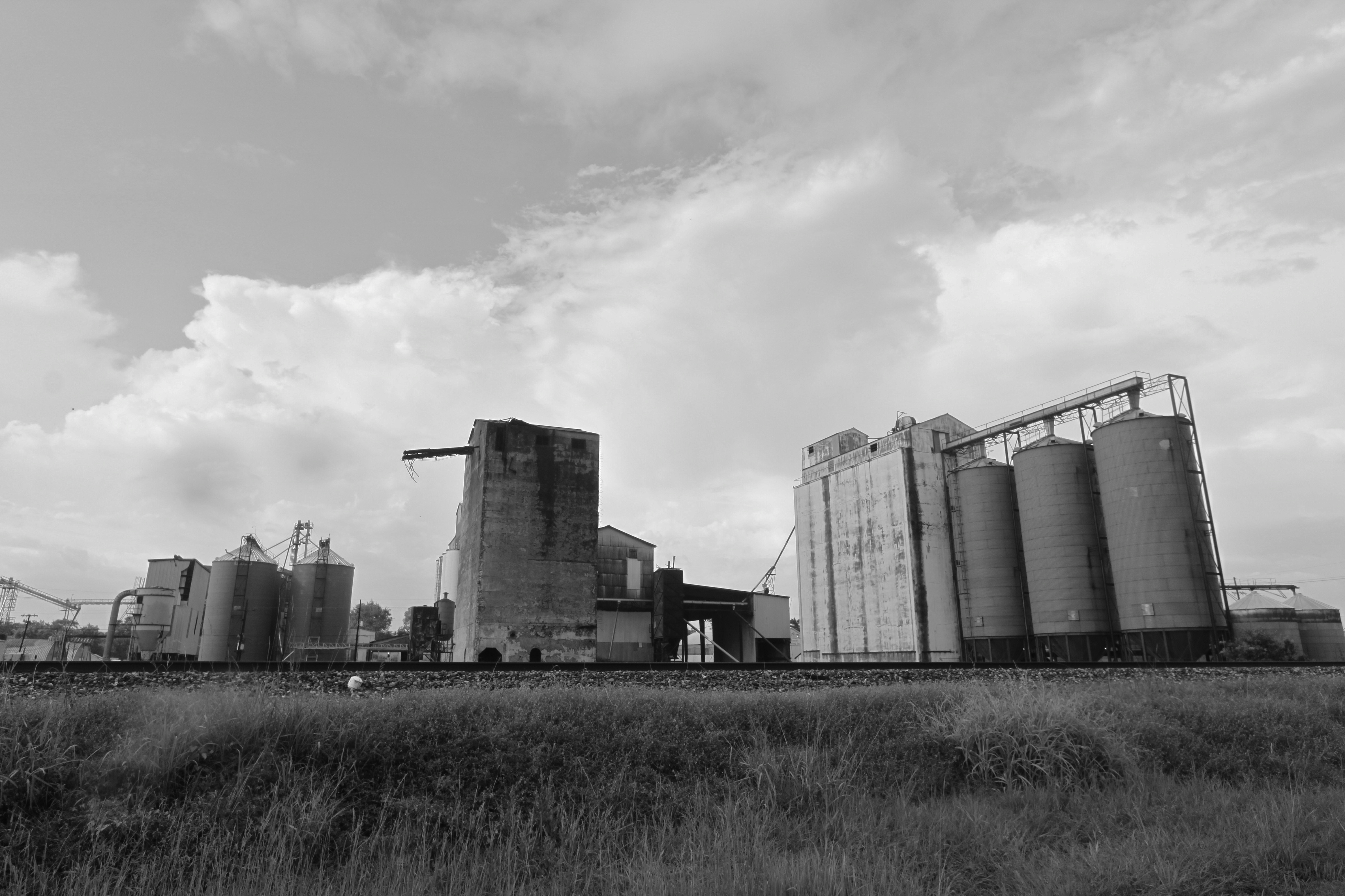
Rice elevators, Rayne LA
Crowley WTP
LSU Rice Research Station
LSU Rice Research Station
LSU Rice Research Station
LSU Rice Research Station

Crowley WTP
Crowley WTP

2016:08:28 17:49:31 Flickr-354
Image of Louisiana No6

Images of Louisiana No16
Image of Louisiana No4
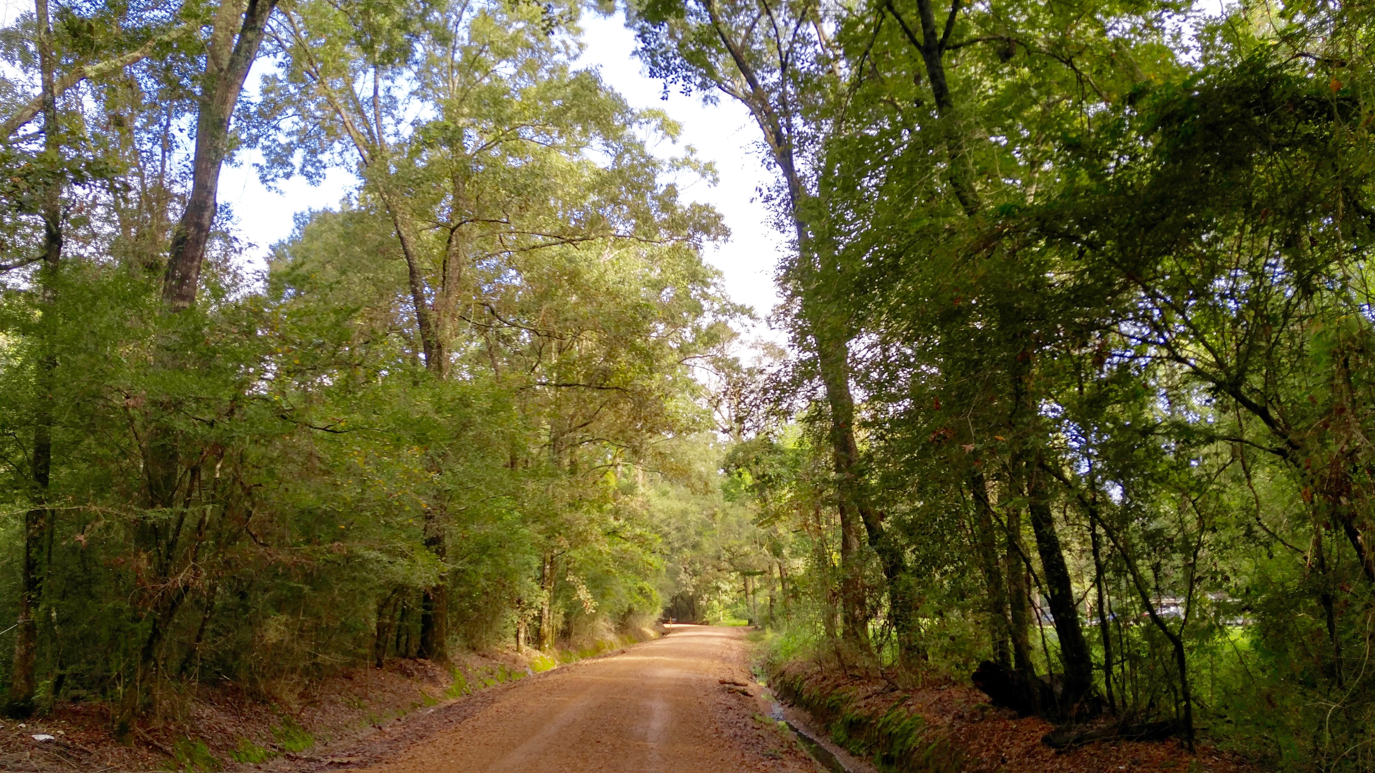
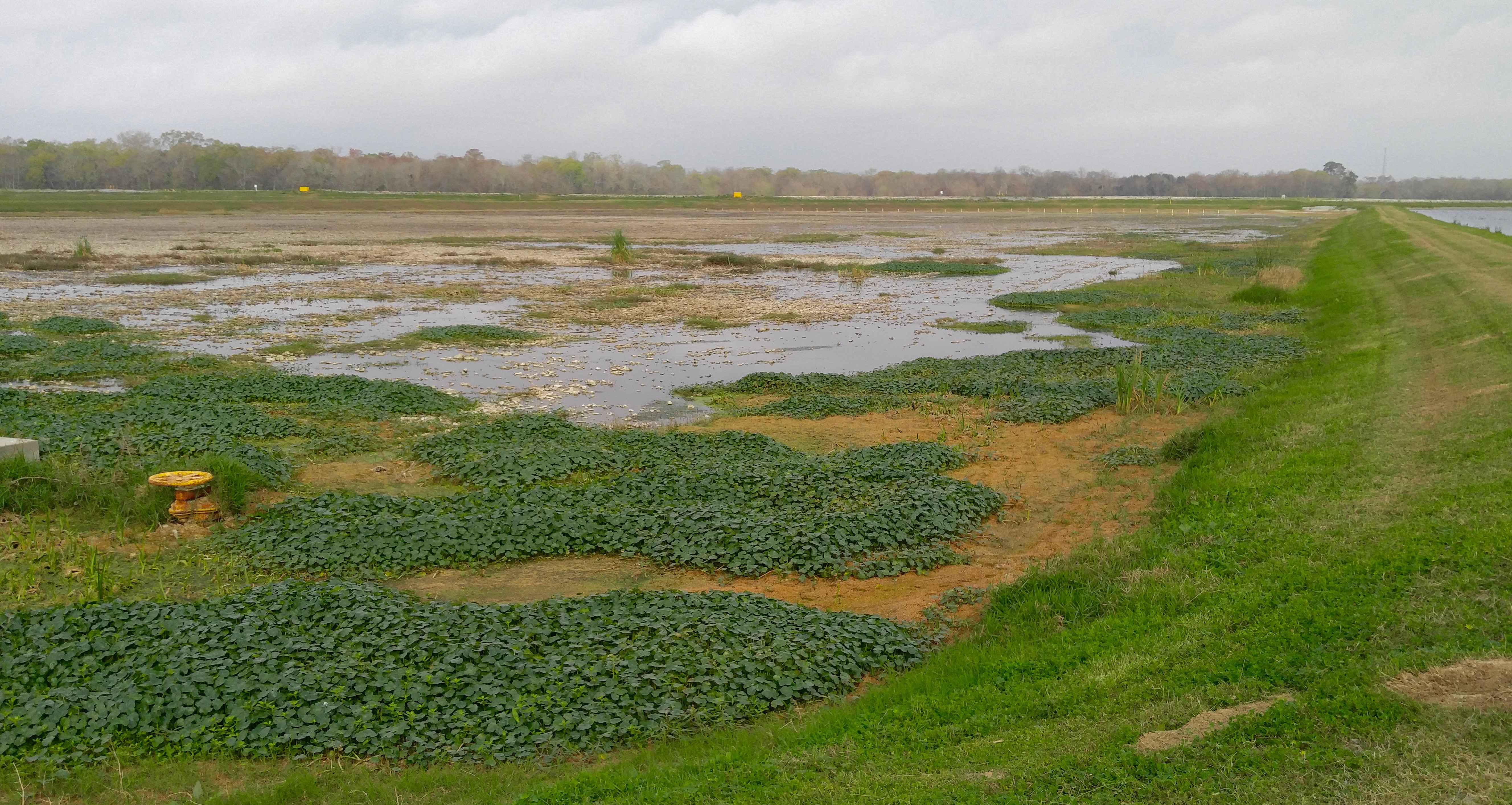
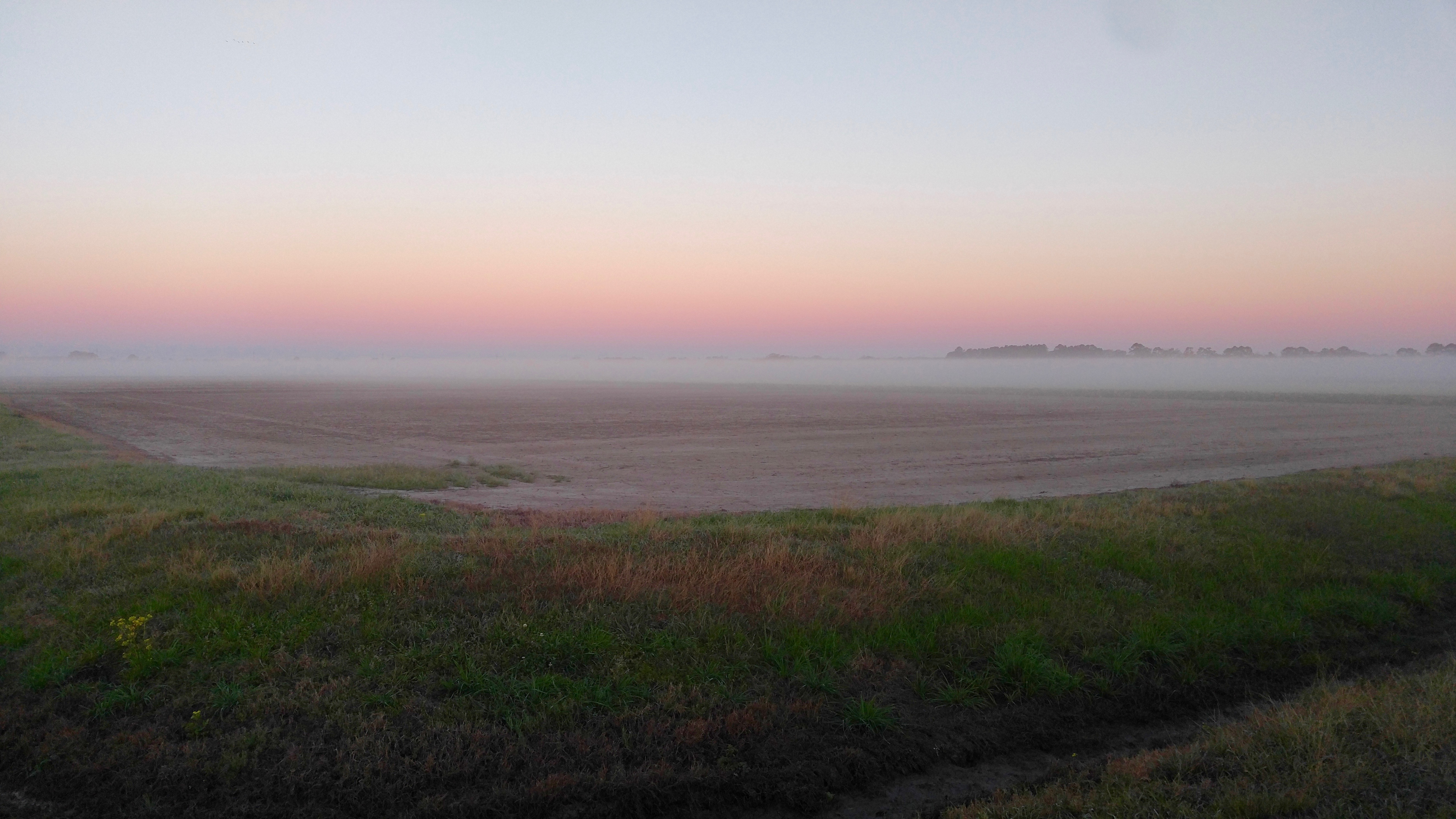
Ohlenforst Rd.
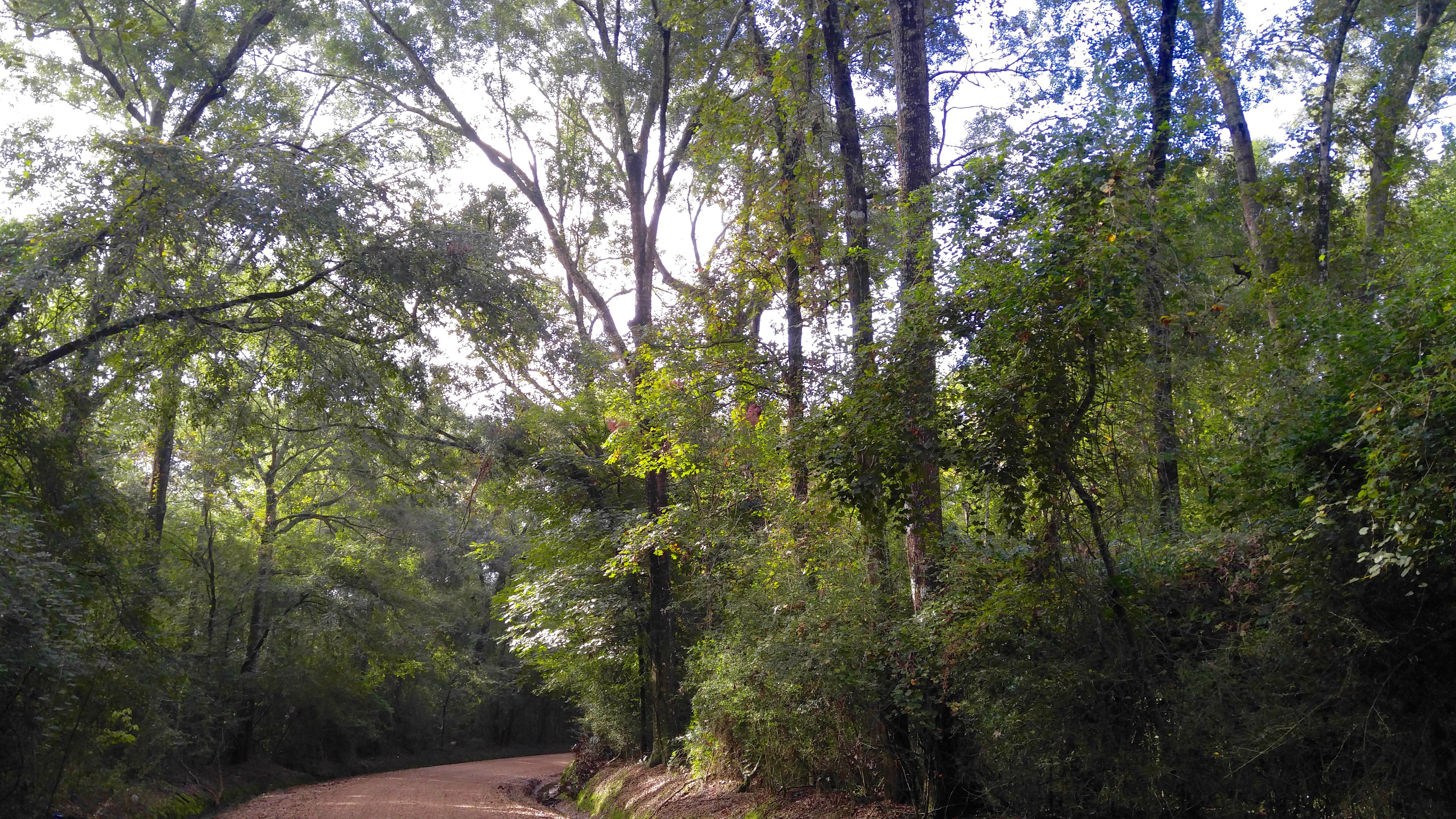
Ohlenforst Rd.

Images of Louisiana No15
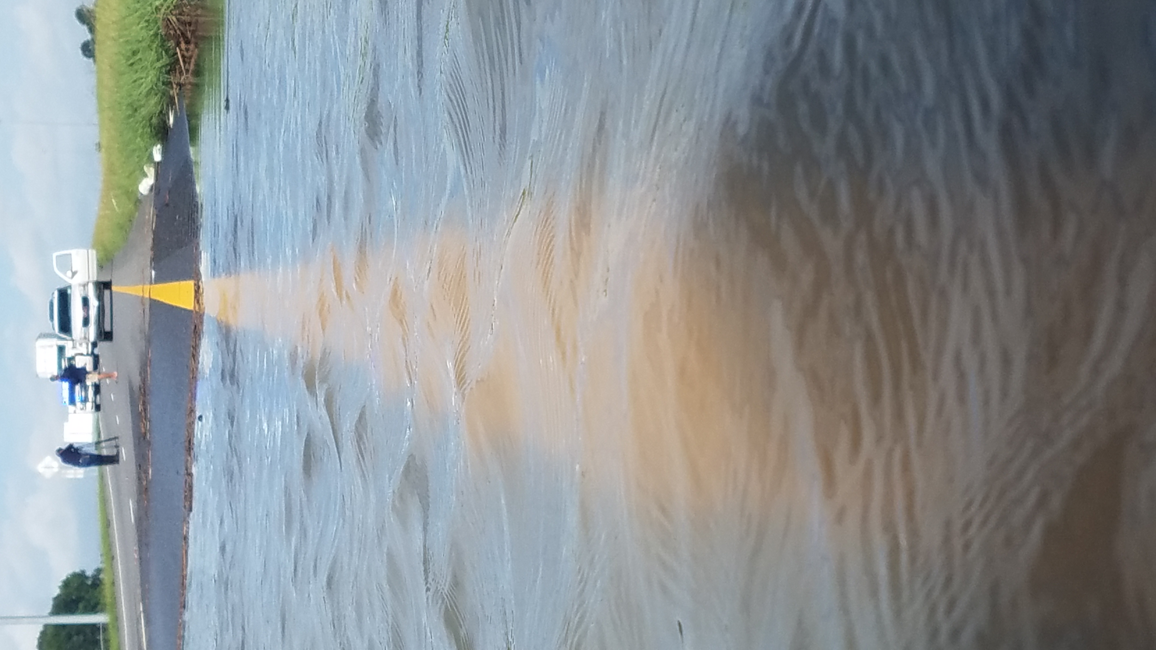
I-10 Flooding
Images of Louisiana No10
Topographic Map of Ohlenforst Rd, Rayne, LA, USA
Find elevation by address:

Places near Ohlenforst Rd, Rayne, LA, USA:
2124 Tower Rd
2014 Tower Rd
1906 Tower Rd
1174 Bayou Plaquemine Rd
240 Ancelet Ln
2518 Bayou Plaquemine Rd
107 Par Rd 1-72
North Cherokee Drive
Rayne
705 Margaret Ave
302 E Texas Ave
359 Upton Ln
811 East E Street
451 Stewartville Rd
321 Stewartville Rd
517 Ann Dr
E Texas Ave & Southeastern Ave
120 Atwood Dr
406 Kathy Dr
312 Kathy Dr
Recent Searches:
- Elevation of Corso Fratelli Cairoli, 35, Macerata MC, Italy
- Elevation of Tallevast Rd, Sarasota, FL, USA
- Elevation of 4th St E, Sonoma, CA, USA
- Elevation of Black Hollow Rd, Pennsdale, PA, USA
- Elevation of Oakland Ave, Williamsport, PA, USA
- Elevation of Pedrógão Grande, Portugal
- Elevation of Klee Dr, Martinsburg, WV, USA
- Elevation of Via Roma, Pieranica CR, Italy
- Elevation of Tavkvetili Mountain, Georgia
- Elevation of Hartfords Bluff Cir, Mt Pleasant, SC, USA