Elevation of Ohalloran Rd, Bloomfield, PE C0B 1E0, Canada
Location: Canada > Prince Edward Island > Prince County > Lot 5 > Bloomfield Corner >
Longitude: -64.229240
Latitude: 46.7742308
Elevation: 40m / 131feet
Barometric Pressure: 101KPa
Elevation Map:
Satellite Map:
Related Photos:

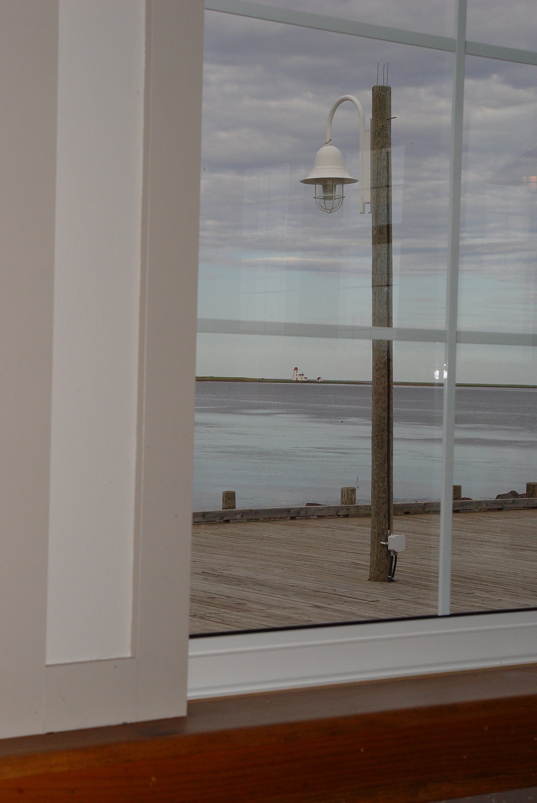
Dec 31 2012 front deck view #pei
48 Restaurant View
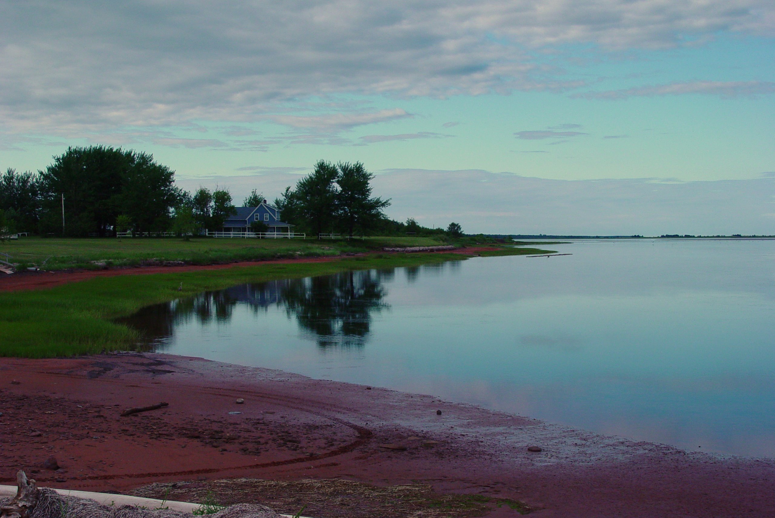
51 Northport View

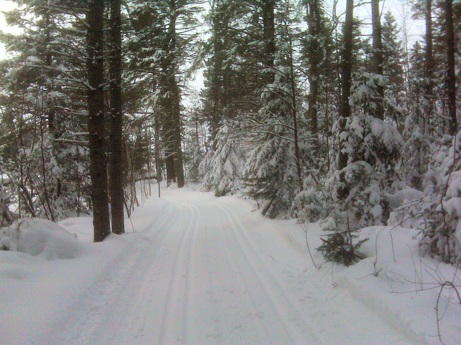
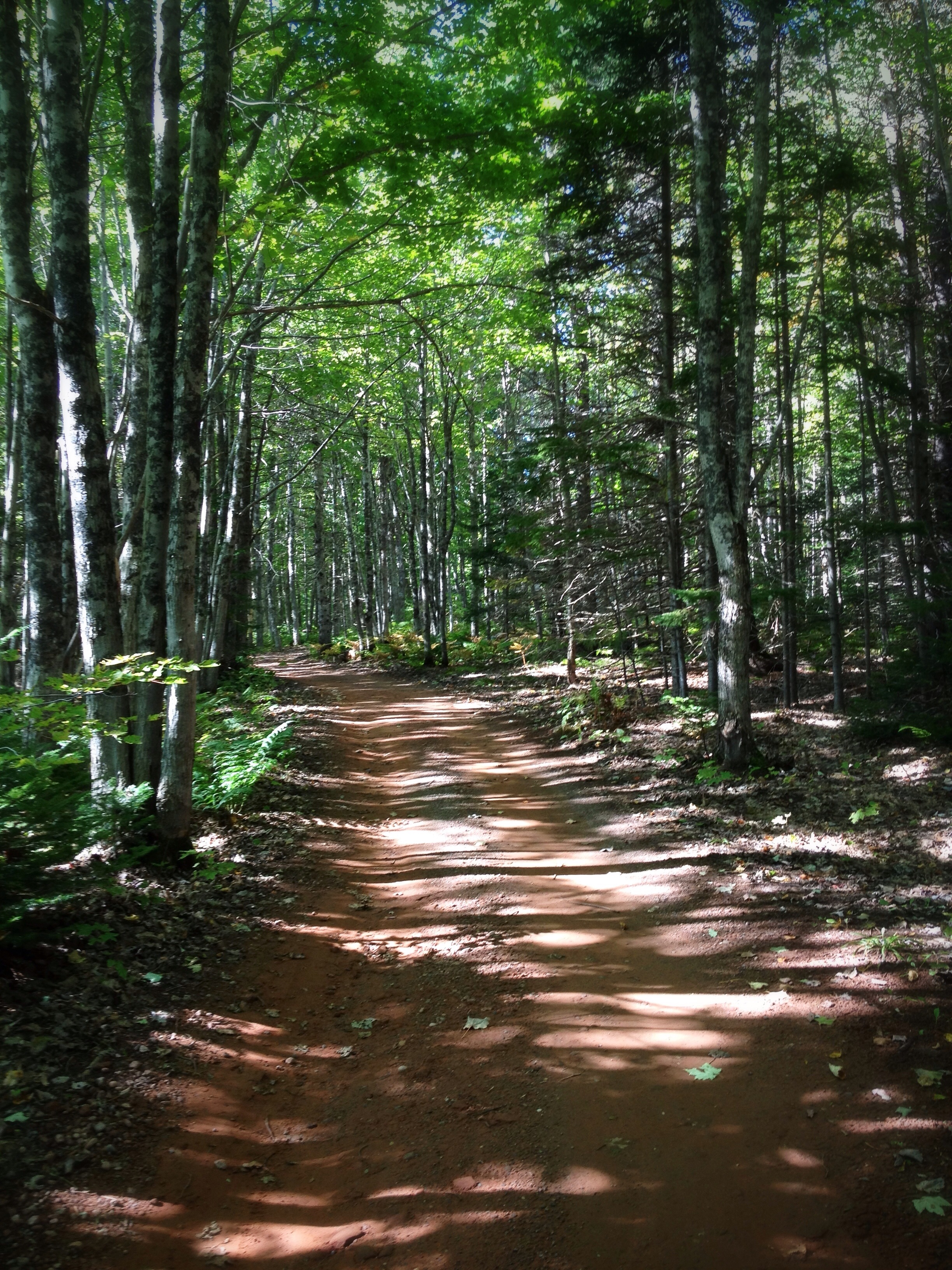
Cross Country Trail 4
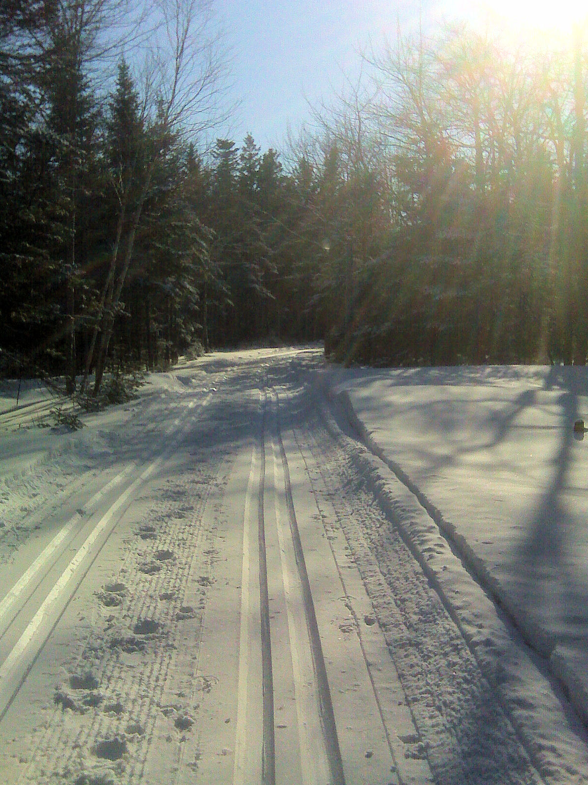
Cross Country Trail 3
Cross Country Trail 1

Bridge Sunset BW 2 January 26.11
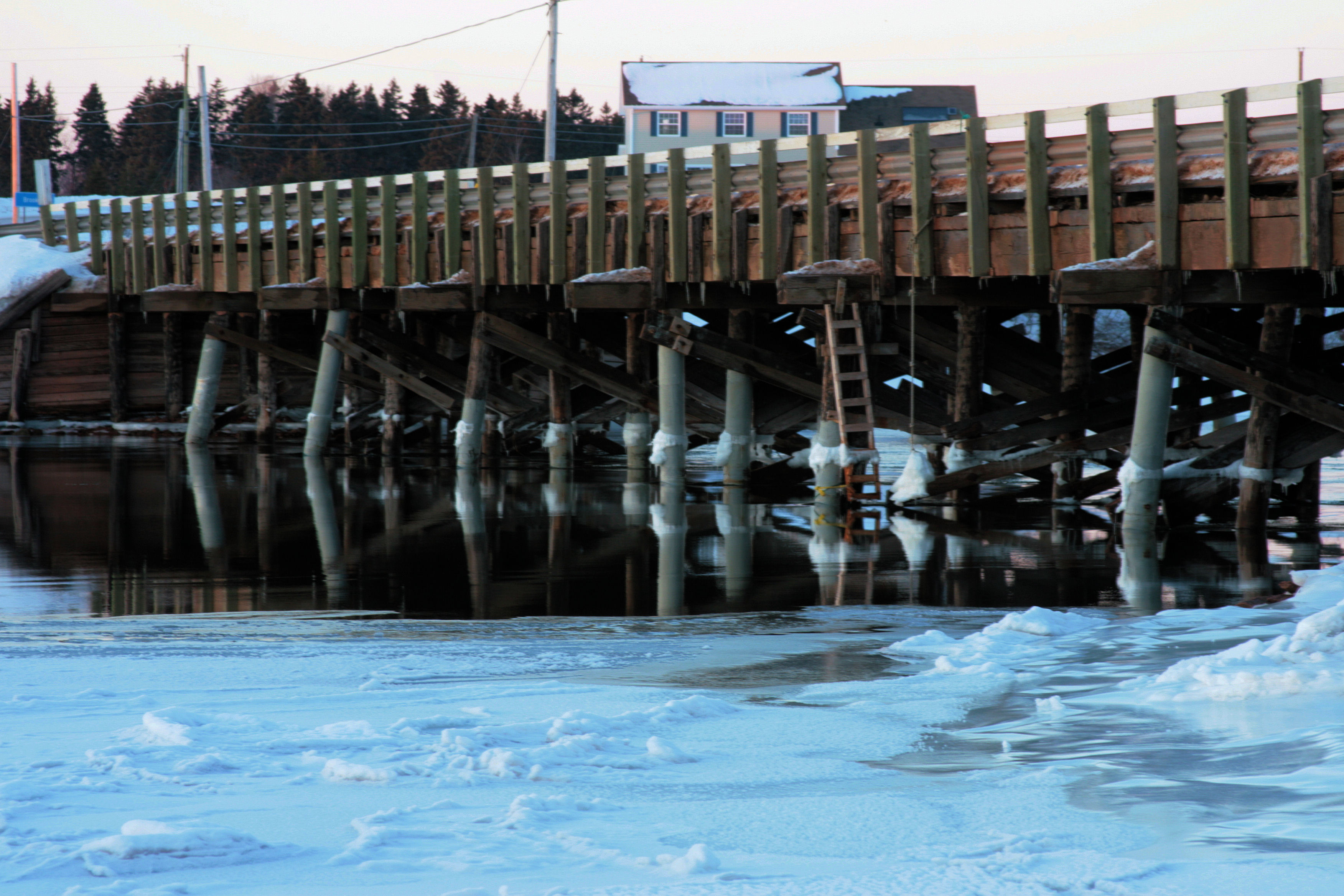
Bridge Sunset A January 26.11
Alberton, PEI
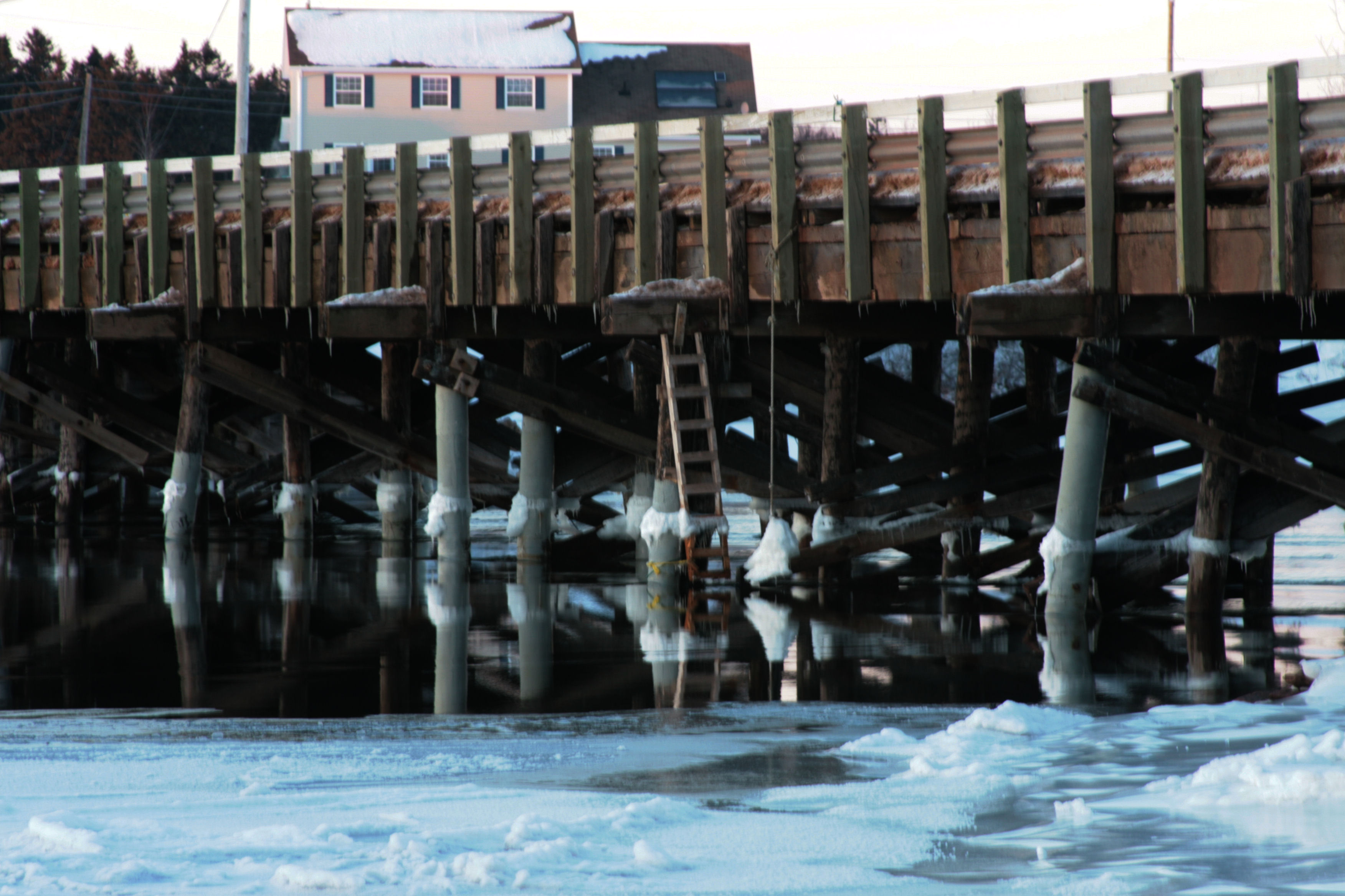
Bridge Sunset B January 26.11
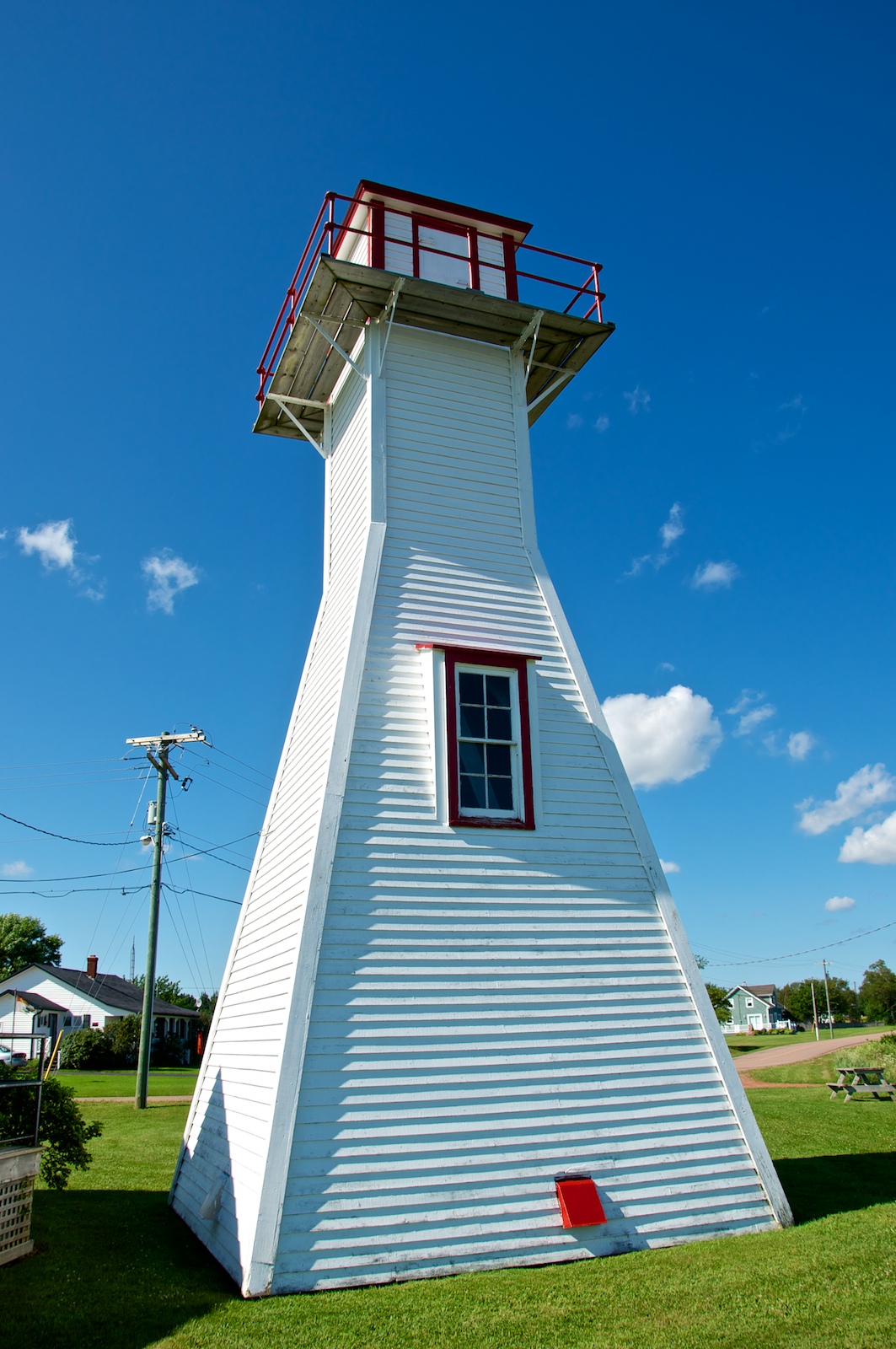
Northport Range Light, PEI (front view)

Cross Country Trail 2

Northport Range Light, PEI (harbour view)
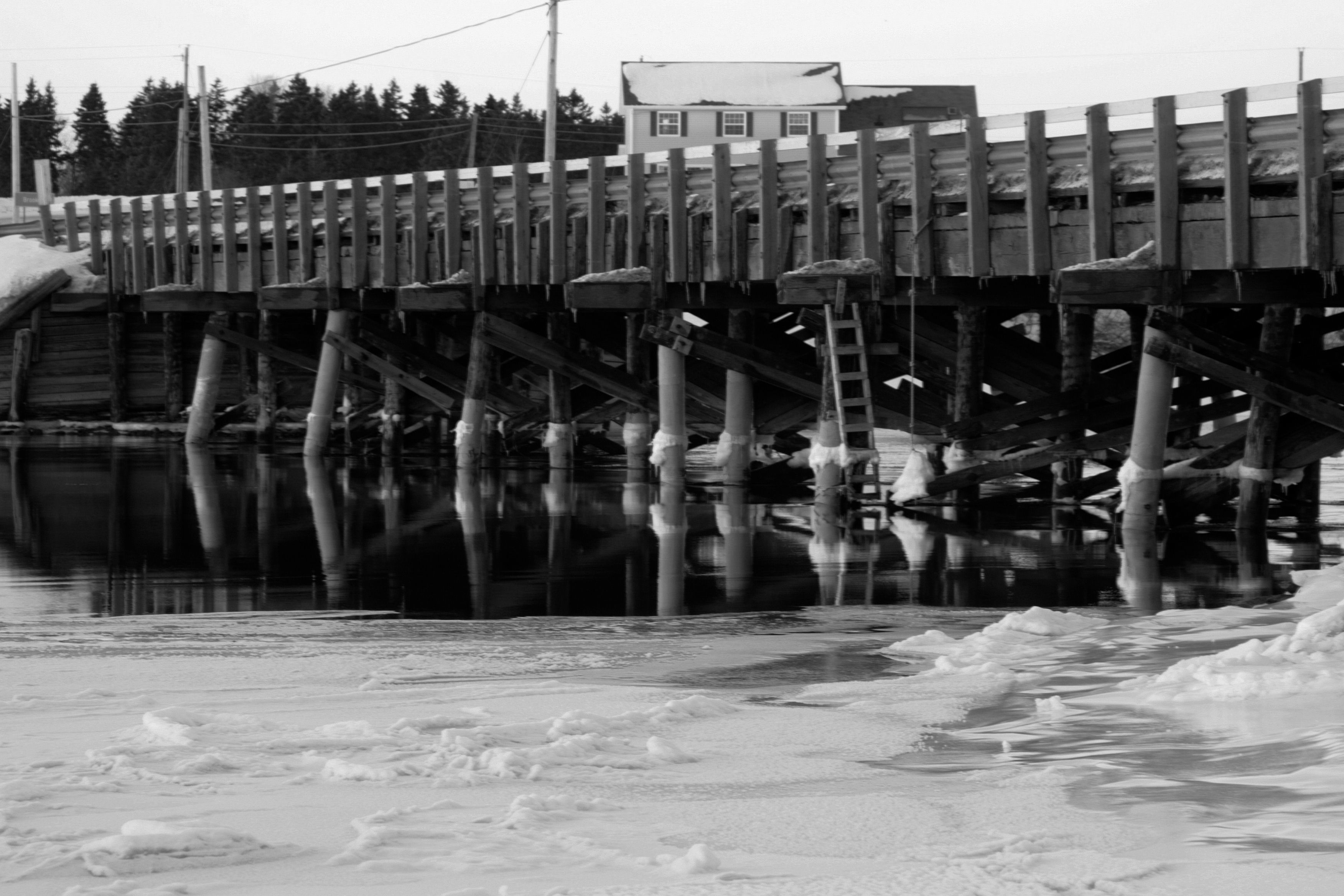
Bridge Sunset BW 1 January 26.11

CANADA MONTREAL QUEBEC OLD TOWN QUEBEC CITY QUEBEC 8164 3 AJ20
The Shortcut: Beautiful path through the woods at the #MillRiver #Golf Course, #PEI

23 Miminegash Shore
Cape Wolfe Area PEI - 7

Northport PEI - 33

Red Sky at Morning, #PEI #sunrise
Cape Wolfe Area PEI - 6
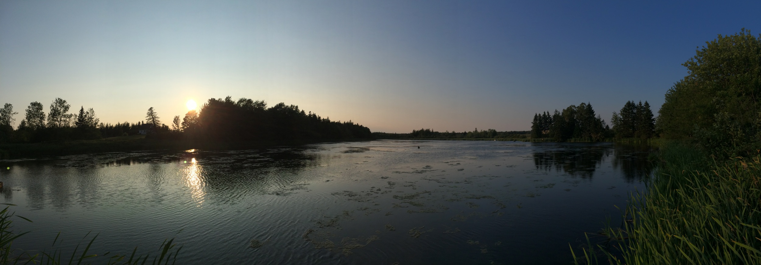
Panorama's from PEI

Miminegash, PEI

Herons at #Sunset, Miminegash-Roseville watershed #Tignish area, #PEI
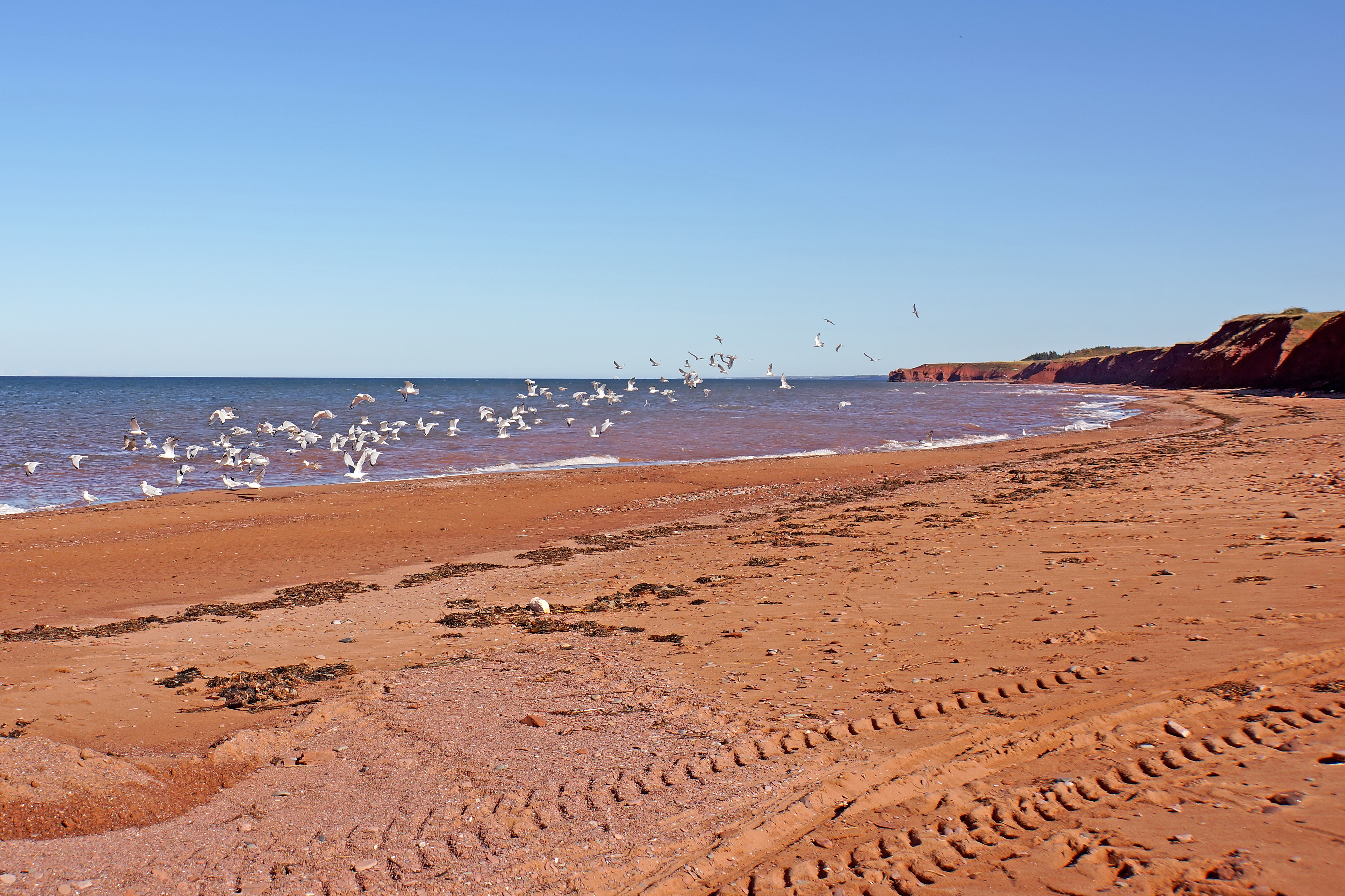
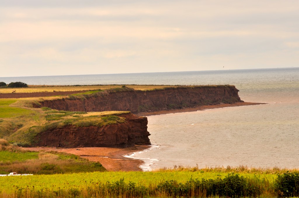
PEI-00614 - Western Coast

Untouched Nov 13.10

Untouched Vertical nov 13.10

Still abandoned
Cape Wolfe Area PEI - 5
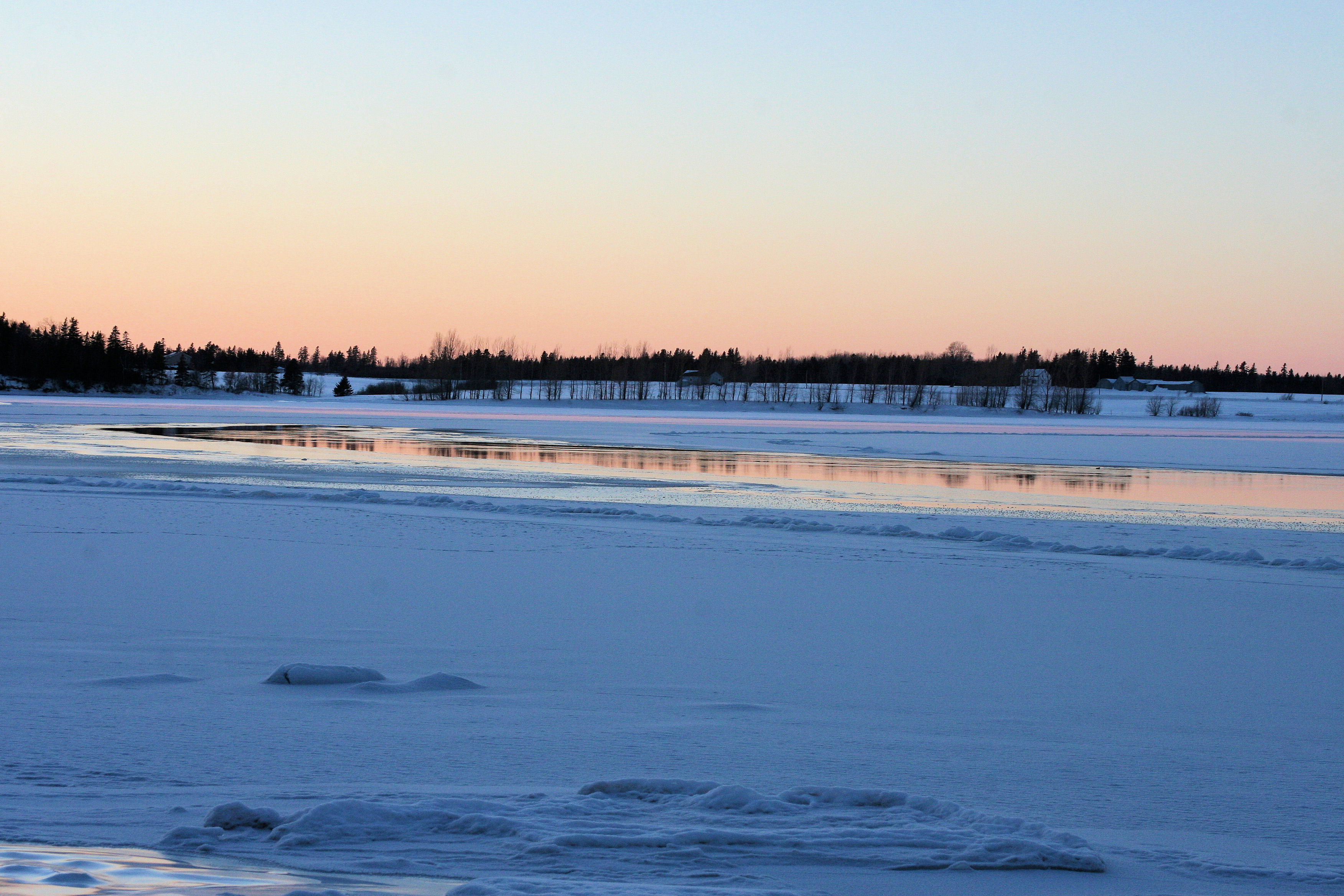
Sunset on frozen bay C January 26.11

Night before the storm; sunset reflected #PEI #winter #sunset #snow #peistorm

22 Miminegash Shore
Topographic Map of Ohalloran Rd, Bloomfield, PE C0B 1E0, Canada
Find elevation by address:

Places near Ohalloran Rd, Bloomfield, PE C0B 1E0, Canada:
Bloomfield
737 Duvar Rd
Bloomfield Corner
Lot 5
O'leary
O'Leary Rd, O'Leary, PE C0B 1V0, Canada
2351 O'leary Rd
Western Rd, Alberton, PE C0B 1B0, Canada
Lot 4
Lot 6
O'leary Road
Western Rd, Alberton, PE C0B 1B0, Canada
11 Haliburton Rd, Bloomfield, PE C0B 1E0, Canada
Coleman
1952 Boulter Rd
Lot 7
1910 Pe-14
Beaton Rd, Coleman, PE C0B 1H0, Canada
Lot 3
Lot 3
Recent Searches:
- Elevation of Corso Fratelli Cairoli, 35, Macerata MC, Italy
- Elevation of Tallevast Rd, Sarasota, FL, USA
- Elevation of 4th St E, Sonoma, CA, USA
- Elevation of Black Hollow Rd, Pennsdale, PA, USA
- Elevation of Oakland Ave, Williamsport, PA, USA
- Elevation of Pedrógão Grande, Portugal
- Elevation of Klee Dr, Martinsburg, WV, USA
- Elevation of Via Roma, Pieranica CR, Italy
- Elevation of Tavkvetili Mountain, Georgia
- Elevation of Hartfords Bluff Cir, Mt Pleasant, SC, USA