Elevation of Ogilvie Peak, Yukon, Unorganized, YT Y0B, Canada
Location: Canada > Yukon Territory > Yukon > Destruction Bay >
Longitude: -140.86944
Latitude: 60.6372222
Elevation: 2782m / 9127feet
Barometric Pressure: 72KPa
Elevation Map:
Satellite Map:
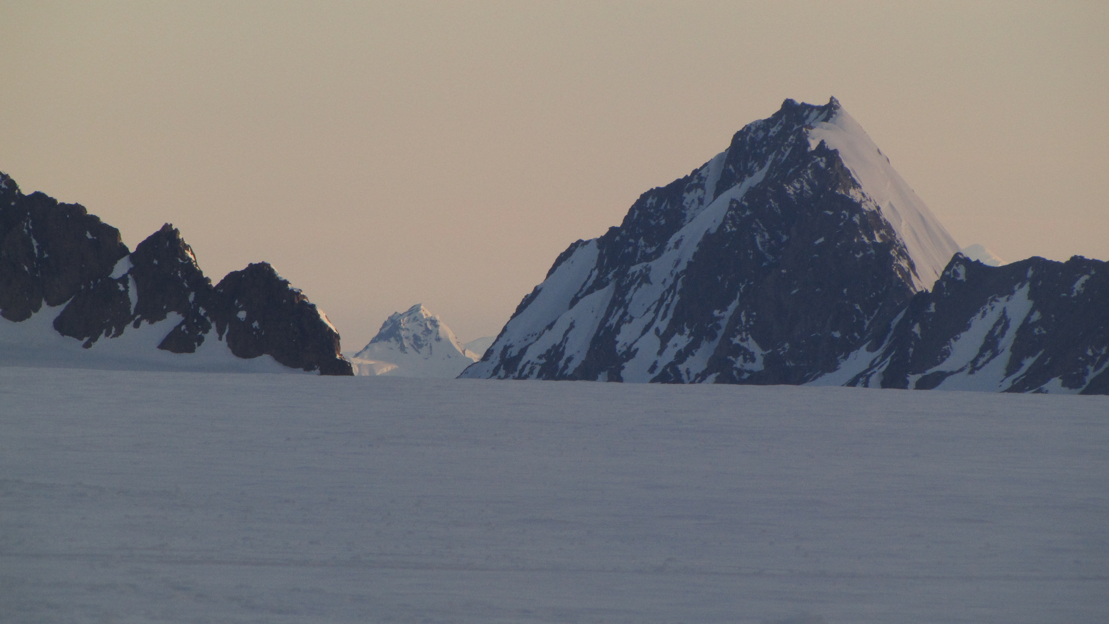
Related Photos:
full zoom
Topographic Map of Ogilvie Peak, Yukon, Unorganized, YT Y0B, Canada
Find elevation by address:

Places near Ogilvie Peak, Yukon, Unorganized, YT Y0B, Canada:
Ogilvie E3
Bourbon Peak
Mount Quintino Sella
Siris Peak
Johansen N3
Mount Johansen
Mount Benkin
Mount Manitoba
Centennial Peak
Mount Yukon
Mount Porky
Flight Path Peak
Mount Prince Edward Island
Mount George
Mount Chitina
Mount Anderson
Snowfield Peak
Mount Tittman
Mount Craig
Icefall Peak
Recent Searches:
- Elevation of Corso Fratelli Cairoli, 35, Macerata MC, Italy
- Elevation of Tallevast Rd, Sarasota, FL, USA
- Elevation of 4th St E, Sonoma, CA, USA
- Elevation of Black Hollow Rd, Pennsdale, PA, USA
- Elevation of Oakland Ave, Williamsport, PA, USA
- Elevation of Pedrógão Grande, Portugal
- Elevation of Klee Dr, Martinsburg, WV, USA
- Elevation of Via Roma, Pieranica CR, Italy
- Elevation of Tavkvetili Mountain, Georgia
- Elevation of Hartfords Bluff Cir, Mt Pleasant, SC, USA